Latitude and Longitude Activities | Map Skills Worksheets Posters Presentation
Learning Pyramid
881 Followers
Grade Levels
5th - 9th
Subjects
Resource Type
Standards
CCSSRH.6-8.7
Formats Included
- Zip
- Easel Assessment
Pages
4 Handouts (color and BW), 5 Worksheets (color and BW), 3 Posters (color and BW), 25 Slides, Quiz
Learning Pyramid
881 Followers
Easel Assessment Included
This resource includes a self-grading quiz students can complete on any device. Easel by TPT is free to use! Learn more.
What educators are saying
My students loved calculating latitude and longitude with these activities! It provided a great background and reinforcement!
Great way to introduce latitude and longitude. Very professional design that was easy to follow and interesting for students. I will definitely use this again. thank you
Also included in
- Teaching timelines, map skills, primary sources, and historical thinking? This no-prep social studies and history skills value bundle makes it easy for students to learn the difference between BCE/BC and CE/AD, latitude and longitude, prehistory and history, and primary and secondary sources! This vPrice $13.49Original Price $29.96Save $16.47
- Make learning about latitude and longitude fun and engaging with this value bundle of activities, worksheets, task cards, and posters! This value bundle includes everything you need to teach latitude and longitude. Your students will have fun learning about latitude and longitude, developing strongPrice $7.49Original Price $15.99Save $8.50
Description
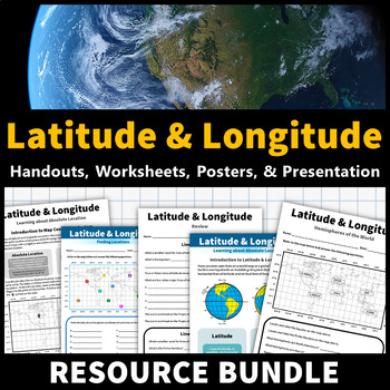
Learning about latitude and longitude is fun and easy with this resource bundle! This ready-to-use no prep value bundle teaches students about latitude and longitude, the hemispheres of the world, major lines of latitude and longitude (Equator, Prime Meridian, Tropic of Cancer and Capricorn, Arctic and Antarctic Circle), and finding locations using geographic coordinates!
This bundle includes:
- Four handouts introducing latitude and longitude, the world's hemispheres, absolute and relative location, major lines of latitude and longitude, and finding coordinates on a map provided in PDF and Word formats
- Five activity worksheets that students can use to practice what they learned provided in PDF and Word formats (with answer keys)
- Three printable posters in both color and black and white featuring a reference map and explanations of latitude and longitude and absolute and relative locations
- An editable 25 slide presentation with the latitude and longitude, the world's hemispheres, absolute and relative location, major lines of latitude and longitude, and finding coordinates on a map provided in PDF, PowerPoint, and Google Slides versions (access the Google Slides presentation via the link in the handout PDF)
- A self-grading Easel assessment version of the worksheets for digital learning
Follow Learning Pyramid to learn of new products, free items, and sales!
Total Pages
4 Handouts (color and BW), 5 Worksheets (color and BW), 3 Posters (color and BW), 25 Slides, Quiz
Answer Key
Included
Teaching Duration
N/A
Report this resource to TPT
Reported resources will be reviewed by our team. Report this resource to let us know if this resource violates TPT’s content guidelines.
Standards
to see state-specific standards (only available in the US).
CCSSRH.6-8.7
Integrate visual information (e.g., in charts, graphs, photographs, videos, or maps) with other information in print and digital texts.


