916 results
Geography internet activities $5-10
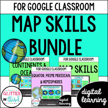
Map Skills & Geography Activities Google Classroom Digital Resources
This digital activities bundle (including map skills reading passages!) will make maps and globe skills ENGAGING and FUN!This bundle includes digital activities and reading passages about map skills, the equator, prime meridian, hemispheres, continents, and oceans.This digital resource uses Google Slides™ and can be used on Google Classroom and Google Drive. This resource also includes an answer key.⭐️ Click HERE to SAVE 20% with the yearlong 2nd-Grade Social Studies Bundle!You will receive each
Subjects:
Grades:
2nd - 3rd
Types:
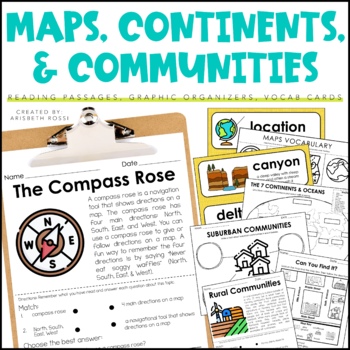
Maps and Globes - 7 Continents and Oceans- Landforms Map Skills Activity
This interactive and engaging resource will help your students learn all about Map Skills, Globes, Continents, Landforms, and Communities! These Map Skills activities will not only have your students learning the importance of locating on places on maps and globes, they’ll also be learning about constructing and reading a simple map, using cardinal directions and identifying map symbols. Lastly, they'll also compare and contrast basic land use in urban, suburban, and rural environments.This Maps
Grades:
1st - 3rd
Types:
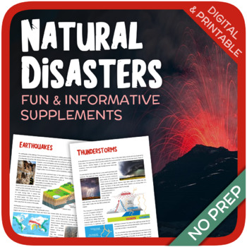
Natural Disasters
Let's learn about Natural Disasters! This worksheet includes 34 pages with a large variety of activities and exercises about natural disasters. Crosswords, word searches, puzzles and other kinds of activities are included to make it a fun and interesting class. The answers and an answer sheet are included. GOOGLE SLIDES AND FILLABLE PDF VERSIONS INCLUDED!Overview: Page 1-2: Introduction Page 3-4: EarthquakesPage 5-7: HurricanesPage 8-9: FloodsPage 10-11: Volcanic EruptionsPage 12-13: TsunamisPag
Subjects:
Grades:
5th - 12th
Types:
Also included in: Geography Bundle (Nature, Oceans, Ecosystems, and Natural Disasters)
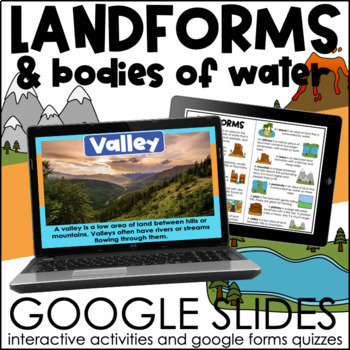
Landforms and Bodies of Water | Interactive Google Slides Activities
These slides provide the definition of common landforms and bodies of water along with real life images! The interactive slides help students practice identifying landforms and bodies of water. If your students are comfortable dragging and typing in google slides, this activity will be perfect for them! A booklet of definitions and images is included for students to use during the activity or as a study guide! *This product is included in a BUNDLEThis resource is not editable. What is included?-
Subjects:
Grades:
3rd - 5th
Types:
Also included in: Continents and Oceans & Landforms BUNDLE | Google Slides Activities
Winter Holidays Around the World Virtual Scavenger Hunt (Google Earth)
Take your students on a winter holidays adventure around the world! Using a combination of Google Earth™ 360-degree views, informational text, video, and visuals, your students will learn about and explore 8 different winter holiday events and traditions around the world. This low-prep, interactive activity is fully digital and is set up in Google Slides. This activity has been updated for the 2023 season!*CLICK THE PREVIEW BUTTON TO VIEW MOREStudents will visit and learn about the following:Nat
Grades:
5th - 7th
Types:
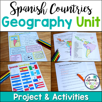
Spanish Countries and Capitals Geography Bundle
This is a Geography Unit with 4 resources over the 21 Spanish-Speaking Countries and Capitals. In this bundle you will receive a Spanish-speaking country profile project, 2 map labeling activities, a matching quiz activity, an internet scavenger hunt, and a 2 page coloring activity with the 21 flags of the Spanish-speaking world. Answer keys and examples are included. Purchase this bundle and save over 25% off the following resources:Spanish-Speaking Country Profile ProjectSpanish-Speaking Count
Subjects:
Grades:
6th - 12th
Types:
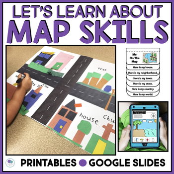
Map Skills Worksheet Me On The Map Activities First Grade Kindergarten
Get K-1 kids excited about map skills and geography with this hands-on social studies bundle. Includes neighborhood map activities, reading & following map directions, compass rose, map key, & Me On The Map activities kids will love!Take your students on a journey as they learn all about how to use maps! Students will have the opportunity to: make their own 3-dimensional mapsfollow a route through a neighborhood, a zoo, and help find a lost doguse a compass rose to follow directions on a
Subjects:
Grades:
K - 2nd
Types:
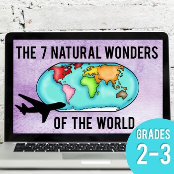
Seven Natural Wonders of the World Virtual Field Trip (Google Earth)
Take your elementary students on a virtual field trip to the 7 Natural Wonders of the World! Using a combination of Google Earth™ 360-degree views, informational text, video, and visuals, your students will learn about each of the Seven Natural Wonders of the World from various perspectives.Students will learn about and virtually explore the following:Mount EverestGreat Barrier ReefParicutinRio de JaneiroNorthern LightsGrand CanyonVictoria FallsThis low prep activity includes::: Digital Google S
Subjects:
Grades:
2nd - 4th
Types:
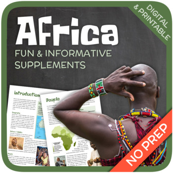
Africa
Let’s get to know Africa! This worksheet includes 36 pages with a wide variety of activities and exercises about Africa. The materials have informative exercises about the things that Africa is famous for, such as tribal peoples, natural resources, Nelson Mandela, wildlife, Nelson Mandela, pyramids and many other things! Crosswords, word searches, puzzles and other kinds of activities are included to make it a fun and interesting class. GOOGLE SLIDES WITH PREMADE TEXTBOXES INCLUDED! Overview:Pag
Grades:
5th - 11th
Types:
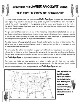
Surviving the Zombie Apocalypse using the Five Themes of Geography!
Students will use a website created for this project to analyze maps and gather information about different locations. The students will then interpret that information using the 5 Themes of Geography to decide if the locations benefit them during the Zombie Apocalypse. The students will finish off their research with a short essay explaining their choices and how the information they gathered from the maps helped them make their decision.This is a great way to get students to use their mapping
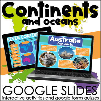
Continents and Oceans | Interactive Google Slides Activities
These interactive slides allow students to practice identifying the continents and oceans on a map as well as learn fun new information about each continent and ocean! Please note that the slides contain many facts about each continent and ocean, which may or may not be appropriate for your classroom. Second graders will easily be able to fill out the maps if they are comfortable with dragging/typing small amounts in google slides. They may not be able to do the reading portion without guidance
Subjects:
Grades:
3rd - 5th
Types:
Also included in: Continents and Oceans & Landforms BUNDLE | Google Slides Activities
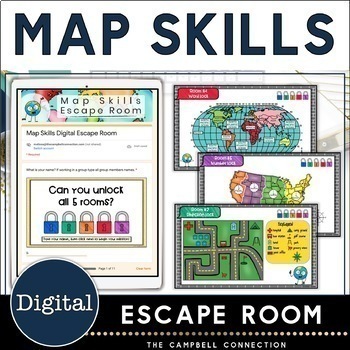
Map Skills Escape Room Digital Activities 3rd, 4th and 5th grade
Looking for a fun way to practice map skills? This map skills escape room is easy to use with no-prep! This escape room is a Google Form. Your students can work independently or in groups to answer the five puzzle questions. The questions are editable so you can adjust to fit your needs or use them as is! This map skills digital escape room covers latitude and longitude fun activities, using a map grid, cardinal and intermediate directions, map scale, and types of maps. The best part is there i
Subjects:
Grades:
3rd - 6th
Types:
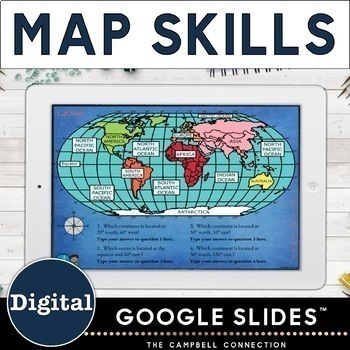
Map Skills 3rd, 4th, and 5th grade - Mapping Skills Digital
Make teaching mapping skills engaging with this digital Google Slides activity. Perfect for upper elementary teachers 3rd, 4th, & 5th grade. This map skills set includes 8 no-prep digital Google Slides. Topics included are compass rose, cardinal and intermediate directions, key/legend, map scales, types of maps, map grid, latitude and longitude, and Google Maps Support your students' understanding of map skills with interactive and engaging drag and drop activities. They will also practice t
Subjects:
Grades:
3rd - 6th
Types:
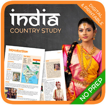
India (country study)
Let’s get to know India! This worksheet includes 27 pages with a great variety of activities and exercises about India. The materials have informative exercises about the things that India is famous for, such as the Taj Mahal, Gandhi, Hinduism, Caste System, Bollywood, and many other things! Crosswords, word searches, puzzles and other kinds of activities are included to make it a fun and interesting class. GOOGLE SLIDES WITH PREMADE TEXTBOXES INCLUDED! Overview:Page 1-2: IntroductionPage 3-4:
Grades:
6th - 12th
Types:
Also included in: Asia (Country Studies Bundle)
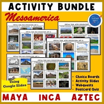
Maya Inca & Aztec Civilizations Virtual Field Trip & Quiz | Ancient Mesoamerica
Looking for an activity to go along with your Ancient Civilizations lessons? This Value Bundle lets your students take a Virtual Field Trip using technology! Using 6 digital choice boards, your students will learn about the Maya, Inca, and Aztec Empires and their history, geography, arts and culture. The digital choice boards will allow your students to explore the famous pyramids, temples, and museums featuring treasures from Mexico, Central and South America. This google slides resource feat
Grades:
4th - 8th
Types:
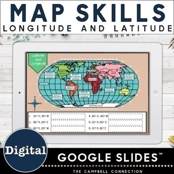
Latitude and Longitude Fun Activities Google Map Skills - 3rd 4th 5th grade
Make teaching map skills engaging with these latitude and longitude fun activities. This set includes 6 no-prep digital Google Slides. Perfect for latitude and longitude practice. Easy and ready to use with 3rd, 4th, and 5th grade map skills. This map skills practice activity is interactive and engaging with drag and drop and typing. Students will love exploring the following latitude and longitude topics and not even realize how much they are learning! The prime meridian, equator, northern, s
Subjects:
Grades:
3rd - 6th
Types:
Earth Day Virtual Field Trip (Google Earth Exploration)
Take your students on a virtual field trip this Earth Day! Using a combination of Google Earth™ 360-degree views, informational text, video, and visuals, your students will learn about the availability of natural resources, the occurrence of natural hazards, and changes in climate that have influenced human activity.This virtual field trip covers::: What is Earth Day?:: Great Barrier Reef (coral bleaching):: Great Pacific Garbage Patch (ocean plastic pollution):: Amazon Rainforest (deforestation
Subjects:
Grades:
5th - 7th
Types:
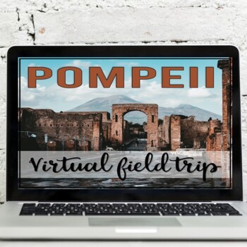
Pompeii: Virtual Field Trip (Google Earth Exploration)
Take your students on a virtual tour of the ancient city of Pompeii. Using a combination of Google Earth™ 360-degree views, informational text, video, and visuals, your students will learn about the city layout, structures, civilian life, the eruption of Mount Vesuvius, and the ongoing excavations of Pompeii.This virtual field trip covers::: Geographic Location of Pompeii:: Signficance of Pompeii:: Roman City Background:: Mount Vesuvius:: City Economy & Prosperity:: City Layout:: Shops and V
Subjects:
Grades:
5th - 7th
Types:
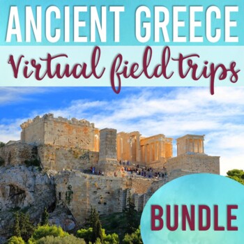
Ancient Greece Virtual Field Trip Bundle | Geography | Acropolis of Athens
This virtual field trip bundle is a great way to infuse technology, spark curiosity, and bring the history and geography of Ancient Greece to life! Using a combination of Google Earth™ 360-degree views, informational text, video, and visuals, your students will learn about and explore Ancient Greece from various perspectives.This Bundle Includes:1. Ancient Greece Geography VFT2. Acropolis of Athens VFTVirtual Field Trips Include::: Informational Text (build background knowledge):: Response Quest
Subjects:
Grades:
5th - 7th
Types:
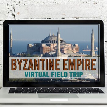
Byzantine Empire: Constantinople Virtual Field Trip (Google Earth Exploration)
Take your students on a virtual tour to Istanbul to learn about the city of Constantinople. Using a combination of Google Earth™ 360-degree views, informational text, video, and visuals, your students will learn about and visit the following: the Walls of Constantinople, Hippodrome of Constantinople, Hagia Sophia, and the Aqueduct of Valens.This virtual field trip covers::: geographic location Constantinople:: modern-day Istanbul, Turkey:: Walls of Constantinople (Theodosian Walls):: Hippodrome
Subjects:
Grades:
5th - 7th
Types:
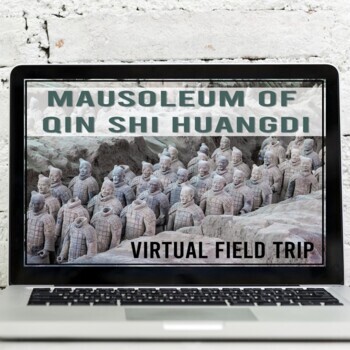
Ancient China | Qin Shi Huangdi | Terracotta Warriors | Virtual Field Trip
Take your students on a virtual tour to learn about the Terracotta Warriors. Using a combination of Google Earth™ 360-degree views, informational text, video, and visuals, your students will learn about and explore Emperor Qin Shi Huangdi's Mausoleum. Your students will learn about::: the geographic location of China:: Emperor Qin Shi Huangdi (short bio):: the Tomb Mound and further discoveries:: Terracotta Warrior Pits (creation details, 360-tour, video):: Significance of these findings:: Excav
Subjects:
Grades:
5th - 7th
Types:
Also included in: Ancient China Virtual Field Trip Bundle (Google Earth Exploration)
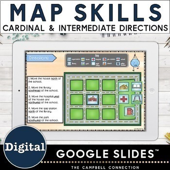
Map Skills Cardinal and Intermediate Directions Activity - Compass Rose
Make teaching cardinal and intermediate directions with a compass rose fun with this engaging drag and drop digital activity. This map skills digital set includes 6 no-prep google slides that make practicing directions easy and interactive. Perfect for upper elementary teachers 3rd, 4th, & 5th grade. Allow your students to practice their cardinal and intermediate directions with 6 Google Slides that utilize drag and drop images and simple typing. All background images are locked in place so
Subjects:
Grades:
3rd - 6th
Types:
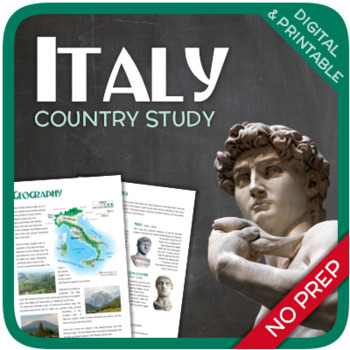
Italy (country study)
Let's get to know Italy! This 26-page country study includes a large variety of exercises about Italy. Many different topics are included that Italy is famous for, such as the Roman Empire, The Renaissance, Leonardo da Vinci, Venice, and many other things. The aim of this worksheet is to give the students a basic understanding of Italy and things that are related to it. GOOGLE SLIDES AND FILLABLE PDF VERSIONS INCLUDED! Overview: Page 1-2: IntroductionPage 3-4: GeographyPage 5-6: HistoryPage 7-1
Subjects:
Grades:
6th - 12th
Also included in: Europe (Country Studies Bundle)
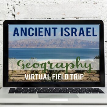
Ancient Israel Geography: Virtual Field Trip (Google Earth Exploration)
Take your students on a virtual field trip to learn the geography of ancient Israel! Using a combination of Google Earth™ 360-degree views, informational text, video, and visuals, your students will learn about and explore the geography of ancient Israel including: the Dead Sea, Mediterranean Sea, Red Sea, Jordan River, and the Sinai Peninsula.Your students will learn about::: geographic location of Israel:: Dead Sea & Qumran Caves:: Mediterranean Sea & Joffa Port:: Red Sea & Hebrew
Subjects:
Grades:
5th - 7th
Types:
Showing 1-24 of 916 results


