291 results
Geography bulletin board idea images
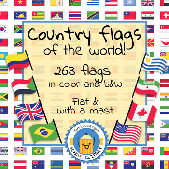
Country flags of the world: 263 Country flags - clip art bundle (1052 clips!)
Country flags of the world: 263 Country flags. HUGE clip art BUNDLE!
This clip art contains 263 flags, in 2 forms (flat and with mast) in color and black & white line art.
Contains all the flags of the countries of the world : 195 Countries.
Look at the complete list of flags by downloading the preview
A total of 1052 clips!
Included:
263 color flag (flat) clip art flag set- PNG format
263 B&W flag (flat) clip art set- PNG format
263 color flag (with mast) clip art set- PNG format
Grades:
PreK - 12th, Higher Education, Adult Education
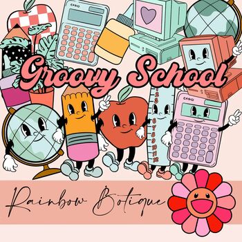
Groovy School Clipart bundle, boho school clip art, bulletin board, commercial
A cute, hand-drawn clipart set with a groovy school theme.Consists of over 50 individual, high definition png files with a transparent background.Also includes black-and-white versions of all images, suitable for coloring etc.For personal and commercial use.
Subjects:
Grades:
PreK - 12th
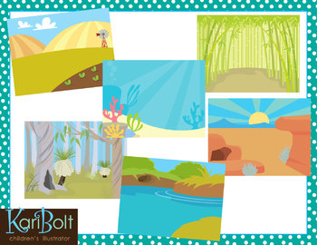
Habitats and Landscapes Clip Art Scenes
25 different habitats in color and black and white. 11x8.5" each (NOTE-preview file is reduced 50% to be able to show all scenes in color and black and white).
WHAT YOU GET IN THIS SET
• Antarctica • Asian Mountains • Australian Bush • Bamboo Forest • Beach
• Farm • Desert • Jungle • Mountains • Ocean • Park • Pine Forest • Pond
• Prairie • Rainforest • River • Rugged Mountains • Sand • African Savannah
• Cypress Swamp • Winter Field • Woods • Woods with a Cave • Zoo
• Tropical Beach
========
Subjects:
Grades:
PreK - 6th
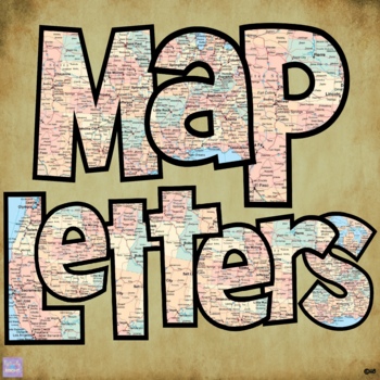
Map Print Bulletin Board Letters
There's so much you can do with this 70 piece Map Letter Clip Art Set - both digitally and in print form! They are perfect for bulletin board letters! Perfect for social studies and history classes! They're also great to liven up any resources you might create!Included in the download are:* 26 capital letter images* 26 lower case letter images* 10 number images* 8 symbol imagesAll 70 images are 300 dpi / on transparent background so you can resize them any way you'd like without losing clarity!T
Grades:
Staff, Not Grade Specific
Also included in: Bulletin Board Letters Growing Bundle
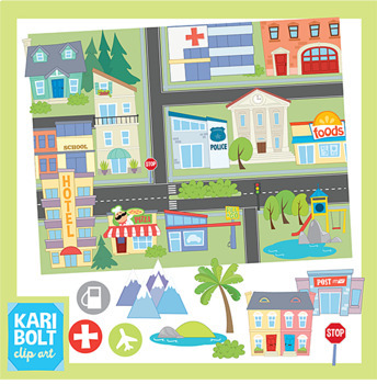
Maps and Landforms Clip Art Bundle (with Buildings)
This set combines my Buildings 2 Set, Landforms Set and Maps Set. Buildings and Landforms art has also been sized to fit onto the maps but comes in their original, large size too.BUILDINGS• Apartment • Church • Cinema • City • Gas Station • Grocery Store • Hospital • Hotel • 2 houses • Library • Park • Police Station • Post Office • Restaurant• Synagogue • School • Town Hall • Town Houses • Generic Building • Pool • Zoo• Dentist • MosqueLANDFORMS• Butte • Cave • Glacier • Hill • Island • Lake/Po
Grades:
Not Grade Specific
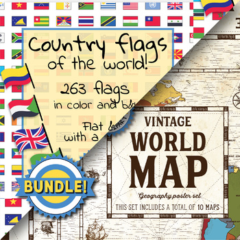
Country flags of the world & World map and continent - School Clip Art - BUNDLE
BUNDLE! Country flags of the world & World map and continent Product #1: Link to the productCountry flags of the world: 263 Country flags. HUGE clip art BUNDLE!This clip art contains 263 flags, in 2 forms (flat and with mast) in color and black & white line art.Contains all the flags of the countries of the world : 195 Countries.Look at the complete list of flags by downloading the previewA total of 1052 clips!Included:263 color flag (flat) clip art flag set- PNG format263 B&W flag
Grades:
PreK - 12th, Higher Education, Adult Education, Staff
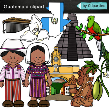
Guatemala clip art Commercial use
Guatemala clipart 10 color PNG&JPG+10 black white (outline) PNG&JPGSize one image about 8 inch by 4 inchFor personal and commercial use.You'll like it!All countries of the worldDownload the archive with the license and logo by the linkhttps://www.teacherspayteachers.com/Product/License-Credit-logo-by-Clipartino-3785741Keywords: spanish colonies, spanish colonization, clipart, sale, bundle, bw, coloring, outline, countries, symbols, map, geography, around the world, landmark, animals, nat
Subjects:
Grades:
Not Grade Specific
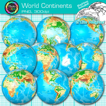
World Continent Clipart: Earth Seven Continents Map Geography Clip Art PNG
World Continent Clip Art: Explore the seven continents with your buddying social studies students using this pack of globe clipart. Create exciting visuals to teach about the seven continents of planet Earth. Design posters to illustrate the difference between the four hemispheres for your world geography unit. Make worksheets to instruct your students on learning map skills, longitude and latitude, as well as cardinal directions.WHAT IS CLIP ART?Clip art (or "clipart") are digital images that c
Grades:
PreK - 12th
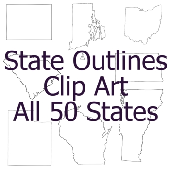
State Outline Geography Clip Art, Commercial Use Clipart
All images are PNG format with transparent backgrounds. The smallest image is 6 inches across. This listing includes one Clip Art image for each state in the United States. (Territories are not included) The images are:Alabama, Alaska, Arizona, Arkansas, California, Colorado, Connecticut, Delaware, Florida, Georgia, Hawaii, Idaho, Illinois, Indiana, Iowa, Kansas, Kentucky, Louisiana, Maine, Maryland, Massachusetts, Michigan, Minnesota, Mississippi, Missouri, Montana, Nebraska, Nevada, New Hampsh
Grades:
Not Grade Specific
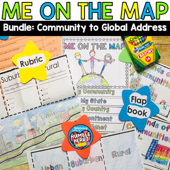
Me on the Map Bundle: 3 Kinds of Communities to Global Address
Intorduce Social Studies and Map Skills to your students as they learn about community in the classroom and in your town and move on their global address. First, teach your students about urban, suburban, and rural communities with this engaging flap book. Students will use the road in the flap book to create a map that begins in an urban community and continues through the suburbs before winding out to a rural community. Students will define and list 3 characteristics of each kind of community
Subjects:
Grades:
1st - 3rd
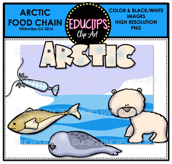
Arctic Food Chain Clip Art Mini Bundle {Educlips Clipart}
This is a collection of Arctic food chain clip art. The images included in this set are:ARCTICFood chain: capepods, Arctic cod, ringed seal, polar bearWord art & background scene12 images (6 in color and the same 6 in B&W)This set is also available (at a big discount) as part of the FOOD CHAIN CLIP ART MEGA BUNDLE.This set contains all of the images shown.Images saved at 300dpi in PNG files.For personal or commercial use.CLICK HERE for TERMS OF USEThis is a zip file. Before purchasing, p
Subjects:
Grades:
Not Grade Specific
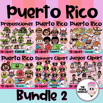
Puerto Rico Clipart Bundle
¿Estás buscando una forma única y creativa de agregar un toque de cultura puertorriqueña a tus diseños y proyectos? ¡No busques más! Con nuestro set de clipart de la cultura de Puerto Rico, tendrás acceso a una selección de clip art de alta calidad y auténticos que reflejan la rica historia y tradiciones de la isla de una manera auténtica y hermosa.No te pierdas la oportunidad de agregar un toque de Puerto Rico a tus recursos, carteles, juegos, decoraciones, recursos, ”bulletin boards“ y present
Subjects:
Grades:
Not Grade Specific
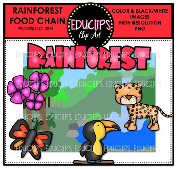
Rainforest Food Chain Clip Art Mini Bundle {Educlips Clipart}
This is a collection of Rainforest food chain clip art. The images included in this set are:
RAINFOREST
Food chain: flowers, butterfly, toucan, Leopard
Word art & background scene
12 images (6 in color and the same 6 in B&W)
This set is also available (at a big discount) as part of the FOOD CHAIN CLIP ART MEGA BUNDLE.
This set contains all of the images shown.
Images saved at 300dpi in PNG files.
For personal or commercial use.
Download preview for TOU.
This is a zip file. Before pur
Subjects:
Grades:
Not Grade Specific
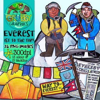
Mount Everest Clip Art
1953 put NZ on the world map when kiwi legend Edmund Hillary & Nepalese Tenzing Norgay were the first people to stand on top of the world….
Celebrate this epic historic event with some icy Everest clip art!
This set contains 26 images (13 colour and 13 blackline) as high quality (300 dpi) PNGs with transparent backgrounds.
*PLEASE NOTE: This set of images have all been hand drawn and coloured, and because of this may contain quirks and unevenness in places – this is all part of their u
Grades:
Not Grade Specific
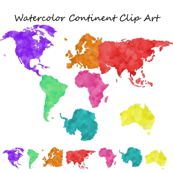
Watercolor Continent Geography Clip Art for Commercial Use
Set of 7 watercolor themed clip art png images with transparent backgrounds.The images included are:North AmericaSouth AmericaEuropeAsiaAfricaAntarcticaAustralia These are also great to print out and use for geography centers or bulletin boards.Note: This is a larger file, it may take longer to download based on your internet connection and download speed. Please be patient.These images are for personal or commercial use. If you are using these to create educational materials for TpT credit is n
Grades:
Staff
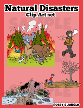
Natural Disasters Clip Art Set
This is an image bundle that includes various natural disasters and other visual help image files.
They come in PNG Format. Both colored and black and white files.
Perfect for: storytelling, science projects, and much more!
For personal and TpT project use.
23 color+27 black and white= 50 files in total
Contents:
Avalanche
Skiiers (the same characters featured in the avalanche image, but larger)
Crater (meteor impact)
Meteor
Cyclone/hurricane/typhoon
Storm or Tropical Storm
Drought
Earthquake
Grades:
3rd - 6th
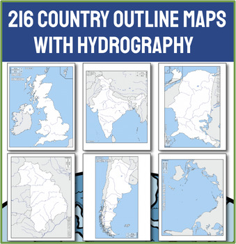
Ultimate Collection of 216 Political Outline Country Maps with Names
Unlock the world in your classroom with our Ultimate Collection of 216 Political Outline Country Maps! With this comprehensive set of political outline maps, the world is literally at your students' fingertips. This meticulously curated set includes every sovereign nation, each clearly outlined and labeled with its country name, making it an indispensable resource for any educator needing a map. CHECK OUT THE PREVIEW for 50 ideas for using these maps in your next lesson!Why Choose This Country M
Grades:
Not Grade Specific
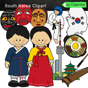
South Korea Clip Art
South Korea clipart 10 color PNG&JPG+10 black white PNG&JPGSouth Korea clipart includes : Girl * Boy * map/flag * mask 3 * kayagym * national dish Size one image about 8 inch by 4 inchFor personal and commercial use.You'll like it!All countries of the worldDownload the archive with the license and logo by the linkhttps://www.teacherspayteachers.com/Product/License-Credit-logo-by-Clipartino-3785741Keywords: South Korea Clipart, sale, bundle, bw, coloring, outline, countries, symbols, asia
Grades:
Not Grade Specific
Also included in: Asia #1 Countries Clip art Bundle- PART 2/ India /Japan /China /Thailand
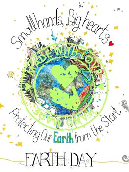
Earth Day Poster
Introducing this hand-painted Earth Day poster, a colourful reminder to care for our planet every day of the year. With its vibrant design depicting our beautiful Earth, this poster is perfect for any space, whether it's a classroom, office, or community centre.Inspire eco-friendly habits and a love for nature with this timeless artwork that celebrates Earth Day and encourages environmental stewardship year-round. Let this poster be a symbol of our commitment to preserving our planet for future
Subjects:
Grades:
Not Grade Specific
Types:
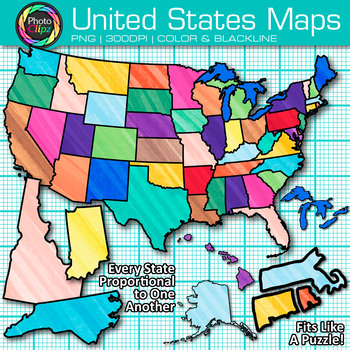
United States Map Clipart Images: 104 Color Geography Clip Art, Transparent PNG
United States Map Clip Art: Explore the great fifty nifty states with your budding geography students using this pack of clipart. Design engaging lessons on map skills and how to use a compass rose using these United States maps. Make worksheets to test your student's knowledge on cardinal directions and how to read a map legend. Each individual state clipart graphic fits snugly next to its neighboring states.WHAT IS CLIP ART?Clip art (or "clipart") are digital images that can be imported into g
Grades:
PreK - 12th
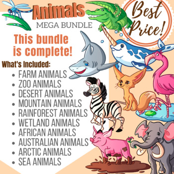
Animals by Location Clip Art MEGA Bundle
This bundle collects 10 sets of clip art all in our Animals series. We've separated the animals by habitat and location. We also threw in Farm and Zoo animals!All of our clip art comes in 3 different finishes. The first is the standard coloring style, thesecond is a bold flat color with black outlines and thethird is the whole collection in Black and White.The Black and White Clipart has a transparent background with the image filled with white. Makes layering a breeze!~~~ License Info ~~~To se
Subjects:
Grades:
Not Grade Specific
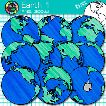
World Continent Clipart: Earth Seven Continents Map Geography Clip Art PNG
Earth Clip Art: Explore the seven continents with your buddying social studies students using this pack of globe clipart. Design posters to illustrate the difference between the four hemispheres for your world geography unit. Create exciting visuals to teach about the seven continents of planet Earth. Make worksheets to instruct your students on learning map skills, longitude and latitude, as well as cardinal directions.WHAT IS CLIP ART?Clip art (or "clipart") are digital images that can be impo
Grades:
PreK - 12th

Alphabet Clipart Bulletin Board Letter Set Antique Maps
Use this antique map alphabet clipart bulletin board letter set as your next classroom theme for secondary history. I originally posted this set with a different letter shape that did not include lower case letters, so I’ve included the original images as a bonus in a separate folder.
This set of high resolution png images is a great addition for secondary middle school and high school classroom décor, hand-outs, project boards, binder cover art, banners, subject word walls, and art projects.
Grades:
Not Grade Specific
Me on the Map - Master Index
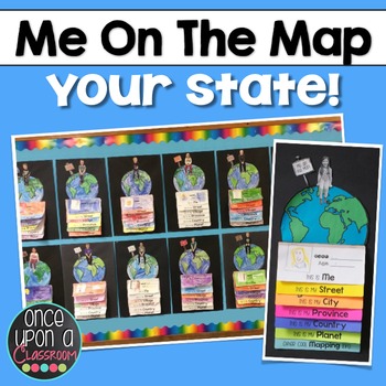
This is a master list of all the currently available "Me on the Map" state specific packs.Elevate your Local Community or Global Community units with this interactive flip book activity! Not only will students gain an understanding of their place in the world but you will have the BEST bulletin board display in the entire school showcasing their amazing learning! Parents LOVE seeing these at Open House!Each pack includes:1. Full page-by-page assembly instructions with photographs of an actual
Subjects:
Grades:
K - 3rd
Showing 1-24 of 291 results


