14 results
Geography interactive whiteboards for staff
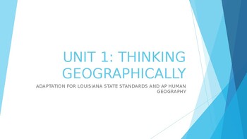
AP Human Geography Unit 1 Interactive Lecture
This student-reviewed presentation is lecture-based and it is an interactive way for students to obtain the necessary information to score highly on the AP Human Geography test.
Subjects:
Grades:
9th - 12th, Staff
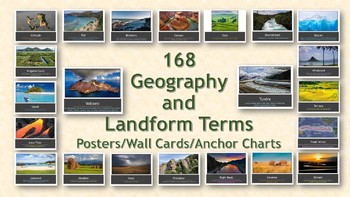
168 Geography and Landform Terms PowerPoint Slideshow
This PowerPoint slideshow aligns with most state standards and Classical Conversations Challenge A program. Additionally, these cards include terms specifically related to Hawaii's geography features such as windward, lava tube, etc. (Please see list below for a full list of terms.)Many terms have similar definitions and can be used interchangeably with one another; therefore, each term in this packet has different a different photo. This packet contains 168 geography terms. These terms are as
Subjects:
Grades:
PreK - 12th, Staff
Also included in: Geography Terms Classical Conversations Aligned Bundle
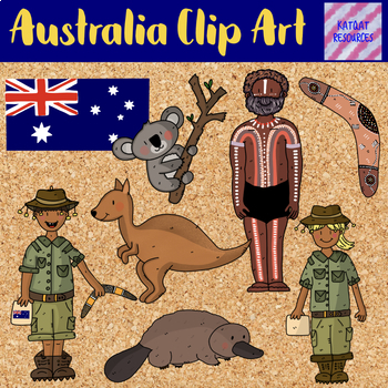
Australia Clip Art
Super Cute Clip ArtGrowing Pack of Australian themed 7 different designs ( 18 clip art images) png 300dpi full colour imagesIndigenous Australian (1)Australian explorer (male) (3)Australian explorer (female) (4)Koala (2)Platypus (3)Boomerang (1)Kangaroo (2)Australian Flag (1)ransparent backgroundIf you liked this set you might also like:Helping Make the Curriculum Fun:Ancient Roman Clip ArtPiratesValentine's Day 1 Cute Clip ArtCute Love HeartsParts of the flowerMaths SymbolsMaths Cute Clip ArtMa
Grades:
PreK - 12th, Higher Education, Adult Education, Staff
Also included in: Mega Bundle Of Cute Clip Art Part Two
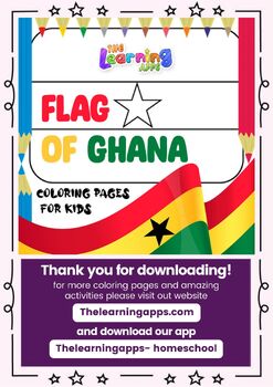
Flag of Ghana Printable Worksheets Coloring Pages for Kids Download Now
Flag of Ghana Coloring Pages for Kids by TheLearningApps.comGhana is a country located on the west coast of Africa. It is bordered by Ivory Coast to the west, Burkina Faso to the north, Togo to the east, and the Gulf of Guinea to the south. The country has a population of approximately 30 million people, and its capital and largest city is Accra.Ghana has a rich history and culture. It was the first sub-Saharan African country to gain independence from European colonizers, and it has played a si
Subjects:
Grades:
PreK - 3rd, Staff
Continents and Oceans Assessment
This flipchart can be used as a formative or summative assessment. You can also use it as a computer lab activity.
If you like "Scavenger Hunt":
Fall Scavenger Hunt
Spring Scavenger Hunt
Leprechaun Scavenger Hunt
If you like "All About...":
All About Dinosaurs
All About Apples
All About Me
All About Leprechauns
***********************************************************
You might buy these items:
Printables - Math Activities Bundle #1
Printables - Math Activities Bundle #2
Printables - M
Subjects:
Grades:
1st - 6th, Staff
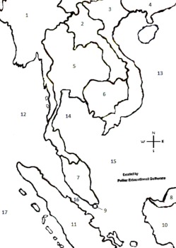
Southeast Asia Interactive Numbered Map, Smartboard, Interactive Map, ETC
This is another one my interactive maps. Open this file with paint on any computer and use with any smartboard, white board, polyvision board or eno board, etc. This a great numbered map of Southeast Asia that can be filled in with the "fill tool" in Paint. Also download the Worksheet Fill-in/follow-along. Another way to present the material is by printing copies of the map out and the students color in the map as you teach. This material can also be used with a projector on a wall with no s
Grades:
4th - 12th, Higher Education, Adult Education, Staff
AP Human Geography Unit 1 Interactive Lecture Notes
This student-reviewed presentation is lecture-based and it is an interactive way for students to obtain the necessary information to score highly on the AP Human Geography test.
Subjects:
Grades:
9th - 12th, Staff
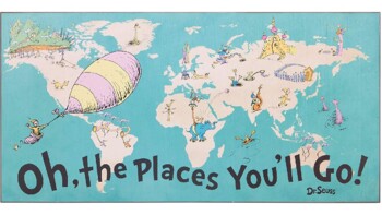
The Places You Can Go!! - (Cross-Curricular)
INTERACTIVE whole class, small group, or individual activity to use anytime or during March for Dr. Seuss theme! Students follow the key to color in the associated states. For cross-curricular have the students list two things they liked about the states they have lived in/visited and explain "Why" they want to visit/see the states they marked as green. (For further expansion, the states they marked as "want to see," you can have them do research & report on information regarding one of the
Subjects:
Grades:
3rd - 8th, Staff
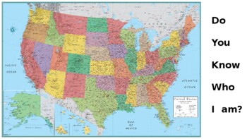
States & Regions - Map It!
ENGAGING activity for identifying & labeling the states in the U.S. and regions! Have fun!
Subjects:
Grades:
5th - 8th, Staff
Map Skills - Introduction!
***The TpT thumbnails are condensed. When downloaded, the text is aligned!***ENGAGING activity to introduce map skills as well as inferencing from information on a "map"! 3 target slides. Have fun!
Grades:
1st - 2nd, Staff
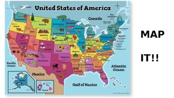
Map It!!
FUN & ENGAGING activity for interpreting maps, cardinal directions, and bonus knowledge! Two states randomly chosen - 5 target slides. Enjoy!!
Subjects:
Grades:
2nd - 4th, Staff
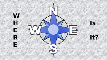
Cardinal Directions!
Great activity for introducing and practicing cardinal directions. A "key" is on the first 2 slides and then taken off for the third. Have fun!
Subjects:
Grades:
2nd - 4th, Staff
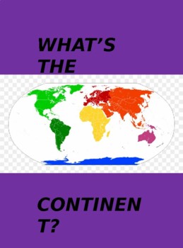
Continents!
***The TpT thumbnails are condensed. When downloaded, the text is aligned!*** QUICK activity to review and label the continents! On the first slide, students can move the name to the associated number.
Grades:
4th - 6th, Staff

Community Directions!
ENGAGING activity for understanding "directions" in communities! 2 target slides with 8 total questions. Have Fun!
Subjects:
Grades:
2nd - 4th, Staff
Showing 1-14 of 14 results


