96 results
Not grade specific geography interactive whiteboards
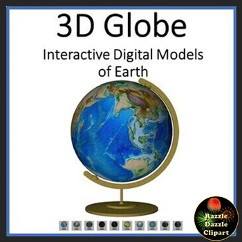
Earth Animated Teaching Globe 3D Models for Whiteboards or Smartboards
Earth Animated Teaching Globe in 3D pdf. Great Earth Day activity! This is a 3D digital model pdf file, where you can manipulate the globe to move and rotate in 3 dimensions with the touch of a mouse! Completely interactive! Great to put up on a Smartboard, Promethean Board, or on a touchscreen computer. Better than a real globe, because you can change this virtual globe to show different views...physical, political, night lights, even Pangaea. Fun way to learn to about our planet. Kids will hav
Subjects:
Grades:
Not Grade Specific
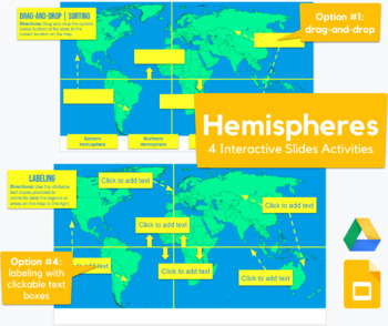
Hemispheres - drag-and-drop, labeling map activity in Slides
This Slides activity challenges students to label the hemispheres. The post actually contains FOUR assignments all-in-one.Slide #1 is a drag-and-drop with 4 draggable options, slide #2 includes clickable text boxes, slide #3 is a drag-and-drop but it also includes the equator and Prime Meridian, and slide #4 includes clickable text boxes. Please feel free to use any of the assignments or pick and choose what best serves your students and standards. The variations are a great way to provide diffe
Grades:
Not Grade Specific
Types:
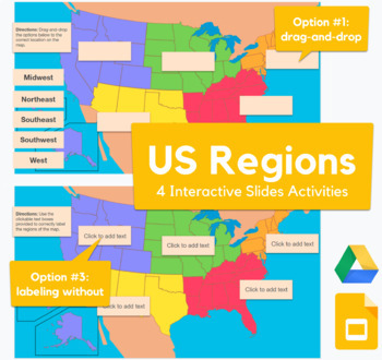
USA Regions Map - drag-and-drop, labeling activity in Slides
This Slides activity challenges students to label the 5 common USA regions. The post actually contains FOUR assignments all-in-one.Slide #1 and 2 are drag-and-drop with draggable options (variations include south vs. southeast, etc.), slide #3 includes clickable text boxes with a word bank, and slide #4 includes clickable text boxes (without the word bank). Please feel free to use any of the assignments or pick and choose what best serves your students and standards. The variations are a great w
Grades:
Not Grade Specific
Types:
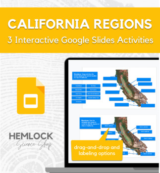
Regions & Geography of California - drag-and-drop, labeling maps in Slides
This Slides activity challenges students to label the key geographical regions or landforms in California. The post actually contains THREE assignments all-in-one.Slide #1 is a drag-and-drop with draggable options, slide #2 includes clickable text boxes and a word bank, and slide #3 contains clickable text boxes (without the word bank). Please feel free to use any of the assignments or pick and choose what best serves your students and standards. The variations are a great way to provide differe
Subjects:
Grades:
Not Grade Specific
Types:
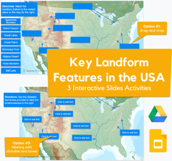
Key Landform Features in the USA - drag-and-drop, labeling map in Slides
This Slides activity challenges students to label key features, regions, or landforms in the United States. The post actually contains THREE assignments all-in-one and covers the Rocky Mountains, Appalachian Mounts, Mojave Desert, Great Plains, Mississippi River, etc.Slide #1 is a drag-and-drop with draggable options, slide #2 includes clickable text boxes and a word bank, and slide #3 contains clickable text boxes (without the word bank). Please feel free to use any of the assignments or pick a
Subjects:
Grades:
Not Grade Specific
Types:
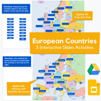
Countries in Europe - drag-and-drop, labeling map activity in Slides
This Slides activity challenges students to label European countries. The post actually contains THREE assignments all-in-one.Slide #1 is a drag-and-drop with 16 draggable options. It does contain every country in Europe, but it does contain 16. Slide #2 includes clickable text boxes with a word bank, and slide #3 just includes clickable text boxes. Please feel free to use any of the assignments or pick and choose what best serves your students and standards. The variations are a great way to
Grades:
Not Grade Specific
Types:
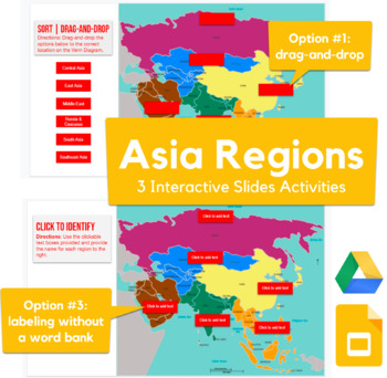
Regions of Asia (Asian Regions) Map - drag-and-drop, labeling activity in Slides
This Slides activity challenges students to label the geographic regions of Asia. The post actually contains THREE assignments all-in-one.Slide #1 is a drag-and-drop with 6 draggable options, slide #2 includes clickable text boxes with a word bank, and slide #3 includes clickable text boxes (without the word bank). Please feel free to use any of the assignments or pick and choose what best serves your students and standards. The variations are a great way to provide differentiation! I also incl
Subjects:
Grades:
Not Grade Specific
Types:
Spanish Speaking Countries + Interactive Guessing
A Google Slides Presentation about the Spanish-Speaking Countries (Los Países Hispanohablantes).Students will see a map of the different regions of Spanish speaking countries (North America, Central America, the Caribbean, South America, Europe, and Africa). Have students call out the Spanish speaking countries they know in those areas before moving to the next slides to reveal the answers.
Subjects:
Grades:
Not Grade Specific
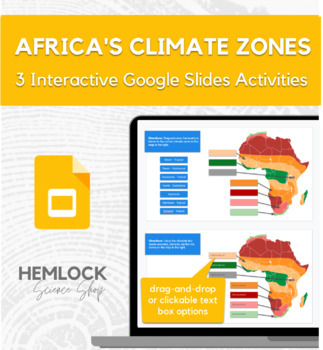
African Climate Zones - drag-and-drop, labeling activity in Google Slides
This Slides activity challenges students to label the key geographical regions or climate zones in Africa. The post actually contains THREE assignments all-in-one.Slide #1 is a drag-and-drop with draggable options, slide #2 includes clickable text boxes and a word bank, and slide #3 contains clickable text boxes (without the word bank). Please feel free to use any of the assignments or pick and choose what best serves your students and standards. The variations are a great way to provide differe
Grades:
Not Grade Specific
Types:
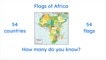
African Flags Easel Activity -- Practice ALL 54 African countries and flags
Here it is, at last! Practice all FIFTY-FOUR African countries and flags, all in one convenient Easel. Perfect for in-class, homework, extra credit, and more!
Subjects:
Grades:
Not Grade Specific
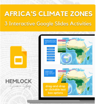
Africa's Climate Zones - drag-and-drop, labeling activity in Google Slides
This Slides activity challenges students to label the key geographical regions or climate zones in Africa. The post actually contains THREE assignments all-in-one.Slide #1 is a drag-and-drop with draggable options, slide #2 includes clickable text boxes and a word bank, and slide #3 contains clickable text boxes (without the word bank). Please feel free to use any of the assignments or pick and choose what best serves your students and standards. The variations are a great way to provide differe
Grades:
Not Grade Specific
Types:
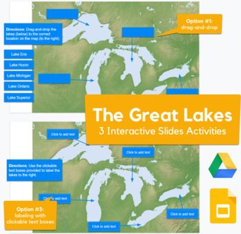
The Great Lakes - drag-and-drop, labeling map in Slides
This Slides activity challenges students to label the Great Lakes. The post actually contains THREE assignments all-in-one.Slide #1 is a drag-and-drop with draggable options, slide #2 includes clickable text boxes and a word bank, and slide #3 contains clickable text boxes (without the word bank). Please feel free to use any of the assignments or pick and choose what best serves your students and standards. The variations are a great way to provide differentiation! I also included a slide so th
Subjects:
Grades:
Not Grade Specific
Types:
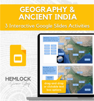
Ancient India and Geography - drag-and-drop, labeling maps in Slides
This Slides activity challenges students to label the key geographical regions or landforms in Ancient India. The post actually contains THREE assignments all-in-one.Slide #1 is a drag-and-drop with draggable options, slide #2 includes clickable text boxes and a word bank, and slide #3 contains clickable text boxes (without the word bank). Please feel free to use any of the assignments or pick and choose what best serves your students and standards. The variations are a great way to provide diff
Grades:
Not Grade Specific
Types:
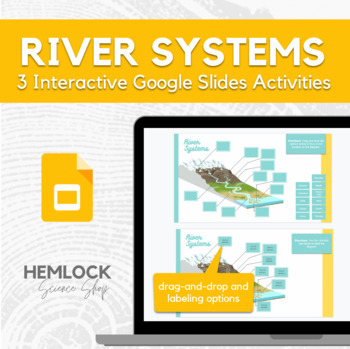
River Systems - drag-and-drop & labeling activity in Slides
This Slides activity challenges students to label the parts of a river system. The post actually contains THREE assignments all-in-one! DETAILSAbout the activities: Slide #1 is a drag-and-drop with draggable options, slide #2 has clickable text boxes with a word bank, and slide #3 are variations without the word bank. Pro Tip: Use slide 2 or 3 after teaching the content, then use slide 1 as a review or warm-up activity tomorrow! Also, these activities are a great way to provide differentiation
Subjects:
Grades:
Not Grade Specific
Types:
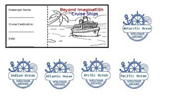
Ocean Lessons
Travel the oceans with your kids. Teach them all about the different oceans of the world with the one of a kind cruise ship experience.
Subjects:
Grades:
Not Grade Specific
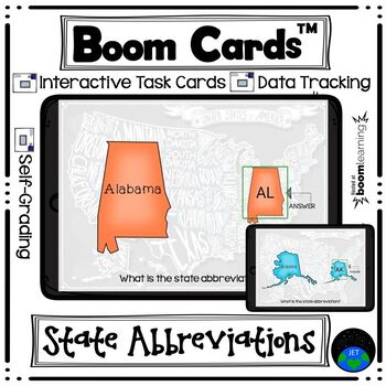
Boom Cards State Abbreviations
Product Description:Board the plane and take a tour of the United States! This set of 50 cards will have students looking at a map of each of the United States and identifying the state abbreviation - also help to reinforcing the shape of each state and state names. This deck is Fill-in-the-Blank and students will type in the state abbreviation.These digital task cards would be great on a laptop, desktop, Chromebook, tablet, or any other mobile device that can access the internet. They can even
Subjects:
Grades:
Not Grade Specific
Slide Show. Politics. Deep Ecology. Not all natural objects are a resource.
Inspired by Arne Naes take on natural objects "not all natural objects are resources".The slide show introduces Water, a resource that is valuable for sustaining all living things. Deep ecology falls under politics, geography, philosophy, biology, science, coastal hazards, society and environment, humanities and social sciences (HASS).Scaffolded with "did you know" and facts that create thought, leading to explore students thinking towards action and innovation.This is the first short introducti
Grades:
Not Grade Specific
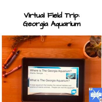
Virtual Field Trip to The Georgia Aquarium
This is a virtual field trip created in google slides. This includes a quiz at the end using pictures as choices for students who have difficulty reading. This field trip also teaches location of places within the United States and helps with comprehension. This is great for remote, digital, virtual, homeschool, and ESY instruction
Grades:
Not Grade Specific
Also included in: Virtual Field Trips for End of Year Early Elementary
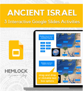
Ancient Israel and Geography - drag-and-drop, labeling maps in Google Slides
This Slides activity challenges students to label the key geographical regions or landforms in Ancient Israel. The post actually contains THREE assignments all-in-one.Slide #1 is a drag-and-drop with draggable options, slide #2 includes clickable text boxes and a word bank, and slide #3 contains clickable text boxes (without the word bank). Please feel free to use any of the assignments or pick and choose what best serves your students and standards. The variations are a great way to provide dif
Grades:
Not Grade Specific
Types:
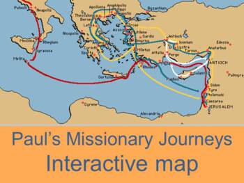
Interactive map of Paul's missionary journeys
Three maps (one on each page for each journey) by Kathy ApplebeeInteractive map of Paul's three missionary journeys in the book of Acts.Mouse over the red triangle next to the city and the corresponding scripture reference or summary will pop up.Sheet one contains map and questions for first tripSheet 2 contains map and questions for second journeySheet three contains Paul's third journey. Click tabs to open new map.Check out other geography productsWorld Geography: Human Impact Power PontMap o
Subjects:
Grades:
Not Grade Specific
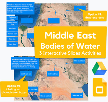
Middle East Rivers and Seas - drag-and-drop, labeling map in Slides
This Slides activity challenges students to label and identify important bodies of water in the ancient Middle East. The post actually contains THREE assignments all-in-one and surveys the Mediterranean, Nile, Tigris, Euphrates, Persian Sea, and Red Sea.Slide #1 is a drag-and-drop with draggable options, slide #2 includes clickable text boxes and a word bank, and slide #3 contains clickable text boxes (without the word bank). Please feel free to use any of the assignments or pick and choose what
Grades:
Not Grade Specific
Types:
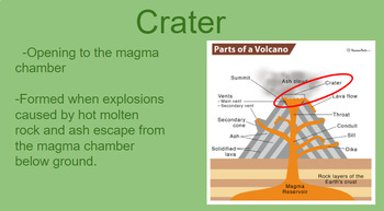
Volcanoes
20 slides with pictures and text giving an easy to understand description of volcanoes. Includes parts of volcano, stages of volcanoes and types of volcanoes
Subjects:
Grades:
Not Grade Specific
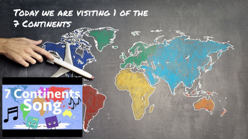
7 Continents Virtual Field Trips
This resource includes 7 virtual field trips (one for each continent) on Google SlidesEach field trip includes:-Facts about each continent-Videos related to each continent-Animals found on each continent-Landmarks of each continent
Grades:
Not Grade Specific
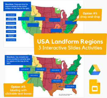
USA Landforms and Geographical Regions - drag-and-drop, labeling map in Slides
This Slides activity challenges students to label the geographical regions or landforms in the United States. The post actually contains THREE assignments all-in-one.Slide #1 is a drag-and-drop with draggable options, slide #2 includes clickable text boxes and a word bank, and slide #3 contains clickable text boxes (without the word bank). Please feel free to use any of the assignments or pick and choose what best serves your students and standards. The variations are a great way to provide diff
Grades:
Not Grade Specific
Types:
Showing 1-24 of 96 results


