255 results
Geography interactive whiteboards $5-10
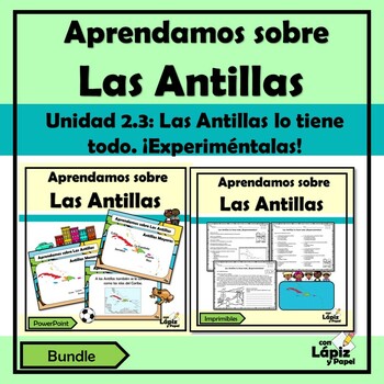
Aprendamos sobre las Antillas | Las Antillas lo tiene todo. ¡Experiméntalas!
¿Estás buscando actividades diversas y lúdicas sobre la Unidad 2.3: Las Antillas lo tiene todo. ¡Experiméntalas! del currículo de segundo grado de Puerto Rico? Este bundle es perfecto para trabajarlo. A tus estudiantes les encantará esta forma de aprender sobre Las Antillas.Este bundle posee una presentación en PowerPoint (No editable) y un recurso imprimible (No editable) donde se exponen brevemente información sobre Las Antillas (Antillas Mayores y Antillas Menores en forma general). Sin embar
Subjects:
Grades:
2nd
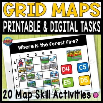
Coordinate Grid Maps Digital Map Skills PRINT and DIGITAL Geography Activities
Students will practice reading and finding locations on community maps using Coordinate Grid Maps. These map skill teaching and learning activities are fun NO PREP DIGITAL and PRINTABLE activities that give you a quick way to check for understanding after teaching how to read coordinate grid map skills. You DO NOT have to have a Boom Learning Account to use this resource!Click on PREVIEW to try this deck out on the Boom Learning Site!This Resource Includes:20 Printable TpT Easel Ready Task Cards
Grades:
2nd - 4th
Geography Unit & Student Workbooks - Grades 1 & 2
This is a huge unit with 5 presentations and 3 student worksheets.
The unit covers:
Map skills:
- What is a map?
- Cardinal directions(north, south, east, west)
- Equator, north pole, south pole
Continents:
- 7 continents
- size order
- land
- animals
- facts
- location
Oceans
- 5 oceans
- names
- locations
The 3 student workbooks include activities for all topics above such as:
- fill-ins
- cut and paste names onto maps
- writing and identifying names of continents and oceans
-
Grades:
PreK - 2nd
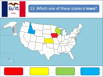
Powerpoint Game: United States Geography
A 50-question, interactive quiz to test your students' knowledge on the fifty states of the United States of America. Simply click on the corresponding color to make your guess! Each of the state's respective flags are shown for additional learning about the USA.This product is designed specifically to be engaging for your students. Your students will love the fun sound effects and the opportunity to get up and walk around in order to tap the on-screen buttons.This product is best used with a Pr
Grades:
4th - 12th, Higher Education
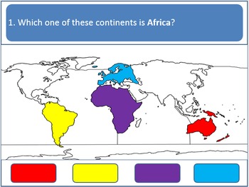
Powerpoint Game - Continents and Oceans (Earth Geography)
A 12-question, interactive quiz to test your students' knowledge on the Earth's continents and oceans. Simply click on the corresponding color to make your guess!
This product is designed specifically to be accommodating and engaging for your students. Your students will love the fun sound effects and the opportunity to get up and walk around in order to tap the on-screen buttons. It is also designed to accommodate students with red/green color blindness.
This product is best used with a Prome
Grades:
K - 5th
Using Geocaching to Illustrate Latitude and Longitude in the Classroom
Get your students moving and actually applying latitude and longitude through geocaching. Incorporating GPS technology, computer websites, and basic geography, this lesson gets students excited about learning geography, maps, and the new game of geocaching. This lesson was used with fourth grade students but can be adapted for middle school and high school students as well. This lesson also ties in well with space history, science and satellites technology. by Susan R. Wagner
Using Geocaching t
Subjects:
Grades:
4th - 8th
Livin’ La Vida Latina – Fun Facts about Spain Presentation in English
This 45 slide Spain Fun Facts Power Point in English is perfect for incorporating culture into your daily lessons. This best seller Spain presentation can be used as a virtual field trip, as daily warm-up activities or as a complete Spain unit. All of the Livin' La Vida Fun Facts presentations inspire students to make cultural comparisons and to think about dispelling cultural stereotypes. Use this presentation all at once to focus on Spain in a few mini lessons or for one complete Spain unit
Subjects:
Grades:
7th - 12th
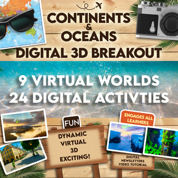
Continents and Oceans 360 VR Digital Escape Room/Breakout
Engage your students in an interactive 360° VR Digital Breakout to delve into the fascinating realms of continents and oceans without any extra work on your part! With 9 virtual worlds to navigate and 24 stimulating digital activities, students will grasp the concepts of the seven continents and five oceans in an exciting new way.⭐⭐ Don't miss out on exclusive deals! Follow me to get notified about my newest products and receive a 50% discount on all new items for 24 hours.⏩️ PLEASE TEST THE LI
Grades:
4th - 8th
Types:
Also included in: Escape Room, Breakout - All Digital Bundle 360 Virtual Reality!
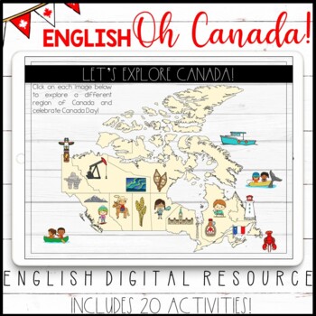
ENGLISH DIGITAL CANADA DAY ACTIVITIES - GOOGLE CLASSROOM™ - CANADIAN PROVINCES
This ENGLISH resource includes a set of digital activities that can be used to learn about the different regions of Canada. These interactive activities are perfect for the end of year, especially if you are recognizing and celebrating Canada Day in your classroom! IF YOU ARE INTERESTED IN THE FRENCH VERSION, CLICK HERE.All of the activities are in Google Slides. They can also be manipulated on an interactive whiteboard. The first slide includes a map of Canada with a variety of landmarks and Ca
Grades:
2nd - 4th
Types:
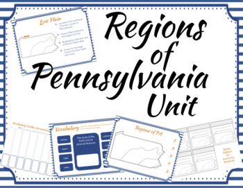
Regions of Pennsylvania Unit
Teach your students the five regions of Pennsylvania with this five day unit. This unit includes editable, zero prep Google slides that can be used on your interactive whiteboard or online for students working virtually. Slides are formatted for easy printing. Review vocabulary while having fun with daily interactive review activities.Day 5 can be used as an assessment. Answer Keys provided. Coordinating pages to be used in an interactive notebook are included.
Grades:
3rd - 5th
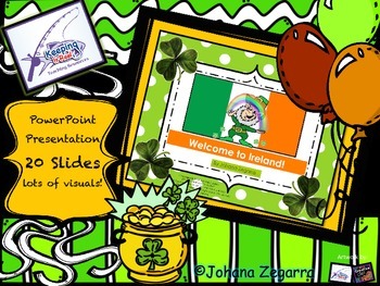
St Patrick's Day Power Point (Welcome to Ireland!)
SLIDE 1- COVER
SLIDE 2- WORLD MAP WITH IRELAND HIGHLIGHTED IN RED
SLIDE 3-DESCRIBING THE IRISH FLAG
SLIDES 4, 5- DESCRIBING IRISH LANDFORMS
SLIDE 6- 2 COUNTRIES IN 1: NORTHERN IRELAND, AND THE REPUBLIC OF IRELAND
SLIDE 7- LANGUAGE
SLIDE 8, 9- DUBLIN (CAPITAL)
SLIDE 10- IRISH CASTLES
SLIDE 11- WEATHER
SLIDE 12- ANIMALS
SLIDE 13- MUSIC AND DANCES
SLIDE 14- GAMES AND ACTIVITIES
SLIDE 15- IRISH CROPS
SLIDE 16- ST PATRICK
SLIDE 17- ST. PATRICK'S ACTIVITIES
SLIDE 18- MORE SYMBOLS
SLIDE 19, 20-CREDIT
Subjects:
Grades:
2nd - 5th
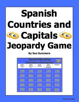
Spanish Speaking Countries and Capitals Jeopardy Game
Students practice Spanish speaking countries and capitals in a fun way! This PowerPoint Jeopardy game contains all 20 official Spanish speaking countries, plus countries and territories where Spanish is still widely spoken, or where there has been significant Spanish influence in the past. They include Puerto Rico, Andorra, Guam, Philippines, and Gibraltar. The 5 categories are North America A, North America B, South America, South America and Africa, and Potpourri. Students click a number u
Subjects:
Grades:
4th - 10th
All About Landforms - Complete SMART Notebook Smartboard Lesson
This HUGE lesson has everything you need to teach landforms to your students. It includes over 54 pages of interactivity, along with printable PDFs (embedded) for formative assessment, reinforcement, and extra practice. Tons of voting along with graphic organizers, activity containers, games, and online resources. 16 popular landforms are covered including: river, pond, glacier, mountain, volcano, plain, plateau, island, & more! Colorful & fun!
Be sure to follow my blog for tons of fr
Grades:
2nd - 6th
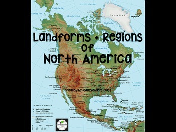
Landforms and North American Regions
This product is a wonderful visual aid and explanation for teaching Landforms and North American Regions. Each slide focuses on a different landform or region and offers a clear description, photos, and a map (when appropriate). Use this resource to supplement instruction with various units in science and/or social studies, as a review for test prep, or even as a starting point for group projects!!
This work is licensed under a Creative Commons Attribution-NonCommercial-NoDerivatives 4.0 Inte
Subjects:
Grades:
3rd - 5th
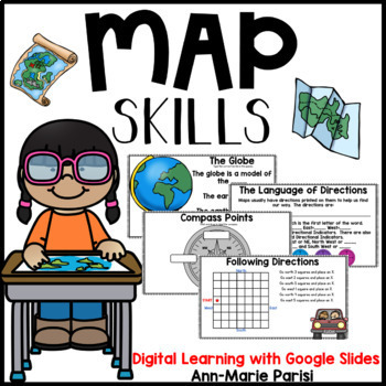
Map Skills Google Slides
This is a Google Slides interactive resource appropriate for DISTANCE LEARNING through online platforms such as Google Classroom.Help your students learn to read, interpret and create maps with all the fun activities included in this pack. What you will find:What is a map?The GlobeMaps Show PlacesThe Parts of a MapCompass RoseSymbols/Map KeyScaleTitle LabelsMap ChallengeBird's Eye View/Side ViewLet's Make Maps (desk, bedroom, classroom, park, school yard)Position and Location vocabularyInterpre
Grades:
1st - 3rd
Also included in: Map Skills & Continents and Oceans GOOGLE SLIDES BUNDLE
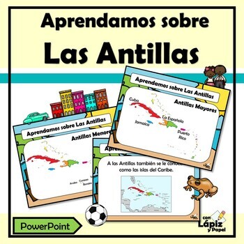
Aprendamos sobre las Antillas - Las Antillas lo tiene todo. ¡Experiméntalas!
¿Estás buscando actividades diversas y lúdicas sobre la Unidad 2.3: Las Antillas lo tiene todo. ¡Experiméntalas! del currículo de segundo grado de Puerto Rico? A tus estudiantes les encantará esta forma de aprender sobre Las Antillas.Este recurso en PowerPoint (No editable) es una presentación donde se expone brevemente información sobre Las Antillas (Antillas Mayores y Antillas Menores en forma general). Sin embargo, ofrece detalles de forma individual de los países que forman las Antillas Mayo
Subjects:
Grades:
2nd
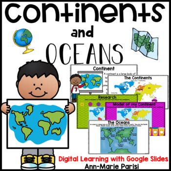
Continents and Oceans Google Slides
This is a Google Slides interactive resource appropriate for DISTANCE LEARNING through online platforms such as Google Classroom.Help your students learn about the 7 Continents and 5 Oceans with all the fun activities included in this pack.What you will find:The Continents (map)Continents PoemWhat is a Continent?What Continent do I live on?Did You Know? Page for each ContinentName the Continent (click and drag)Research (links provided to various pages including SAFE YOUTUBE for students to do re
Grades:
1st - 3rd
Also included in: Map Skills & Continents and Oceans GOOGLE SLIDES BUNDLE
Social Studies Standards 5th grade
Great social studies standard cards for 5th grade teachers. Each card includes standard, picture, benchmark, and/or description. Won't take up too much space on your board. You can easily laminate and add a magnet to the back of them. No more staying late at school or getting there an hour early to prepare your board. Please note that these are aligned to the Florida Sunshine State Standards.
Enjoy!
Subjects:
Grades:
3rd - 8th
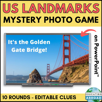
US Landmarks Game | USA History and Culture Activity | Civics and Geography
This fun and engaging game is a great way for students to learn about famous US landmarks. In each round, students are shown a portion of a photo of a landmark. They then listen to three clues and must try to identify the landmark. The game includes 10 rounds, each with a different landmark around the United States of America.This set includes 10 famous USA landmarks:Golden Gate BridgeGateway ArchStatue of LibertyCloud GateMount RushmoreLiberty BellSpace NeedleWhite HouseArlington National Cemet
Subjects:
Grades:
5th - 8th
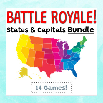
Battle Royale Review Game BUNDLE: All United States Regions & 50 States
Looking for a fun way to review all 50 states and their capitals? Want to study strictly by region? Battle Royale will have your kids wanting to practice each day!Rules to the Game:The class is divided in two teams.Each team forms a single file line in front of the projected Battle Royale Slides.Once the first slide is displayed, the first person to answer their question correctly gets to stay in their line.The person who did not win is out of the game. (There is a chance they can come back thou
Grades:
2nd - 6th
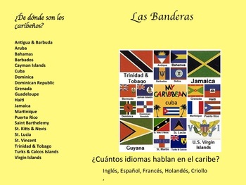
La Música Afro-Caribeña y La Historia de Su Evolución
Descripción:
En esta unidad los estudiantes van a aprender de la geografía, la historia, y la música de Cuba, La República Dominicana, y Puerto Rico. Van a escuchar ejemplos de música de los tres países para tener un mejor entendimiento de la presencia africana adentro de la cultura Caribeña. Primero tendrán una introducción a la geografía y historia del caribe. Luego, van a enterarse como la música cuenta la historia de la gente y la vida cotidiana. También buscarán como la música ayud
Subjects:
Grades:
7th - 10th
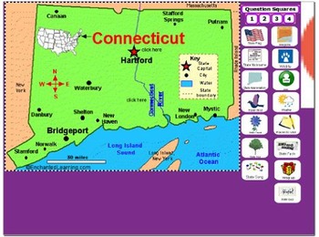
All About Connecticut
PLEASE NOTE: This file needs Notebook Software in order to successfully open. In accordance with TPT policies I am not authorized to issue any refunds.Adobe has discontinued Flash Player and removed all support for Flash in 2020. As a result, Adobe Flash Player is no longer compatible with recent versions of SMART Notebook (version 17 and later for Windows, version 16.2 and later for Mac). Modern versions of web browsers no longer allow Flash objects to be played. Although SMART Notebook autom
Subjects:
Grades:
2nd - 5th
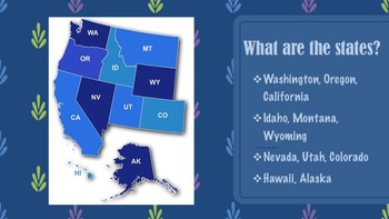
United States Regions Presentations Bundle
This product gives information about each region of the United States, including maps, photographs, & information pertaining to each state of each region. There are five presentation files included for each region along with descriptions of each state. If you like this product, please go to my "It's A Vaughnderful Classroom" to check out other creative products or download a FREEBIE of the Northeast region to preview.
Grades:
2nd - 7th

Wright brothers unit.
Are you ready to inspire your students with a captivating journey into the remarkable lives of the Wright Brothers and the awe-inspiring history of flight? Look no further! Our "Wings of Wonder: Exploring the Wright Brothers and the History of Flight" unit is designed to ignite young imaginations as they delve into the incredible achievements of Orville and Wilbur Wright. Get ready to take flight into a world of innovation, perseverance, and the boundless possibilities of human ingenuity!Unveili
Subjects:
Grades:
2nd
Showing 1-24 of 255 results


