3,089 results
Common Core RH.9-10.7 resources under $5
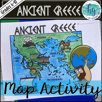
Ancient Greece Geography Map Activity (Print and Digital Resource)
This activity will help students better understand the geography of Greece and its impact on Ancient Greek civilizations. They will label and color the blank map version and then answer a few questions. Alternatively, students can just color on the coloring page version. It's a great way to incorporate geography in your lesson.What's included with the Printed Versions:*Ancient Greece map for students to label, color, and answer 10 questions (1 page map, 1 page directions/questions, uneditable pd
Grades:
6th - 10th
Types:
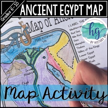
Ancient Egypt Map Activity (Print and Digital Resource)
Students will learn about important places in the Ancient Egypt civilization as they label and color a map. It's also a great way to incorporate geography in your lesson.What's included with the printed version:Blank Ancient Egypt map for students to label and color (1 page, uneditable pdf)Map Key (1 page, uneditable pdf)Ancient Egypt map for students to just color (1 page, uneditable pdf)Informational Reading (1 page, uneditable pdf) Animated PowerPoint shows each location and the key - perfect
Subjects:
Grades:
6th - 10th
Types:
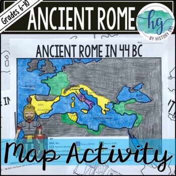
Ancient Rome to 44 BCE Map Activity (Print and Digital)
Students will label and color a map of Ancient Rome in 44 BC/BCE to better understand the expansion of Roman power. Students will also answer 6 questions about the map. What's Included with the print versions:*Blank map with 6 questions for students to answer (2 pages, BC and BCE versions included, uneditable pdf)*Blank map without questions (1 1/2 pages, BC and BCE versions included, uneditable pdf)*Map for students to just color (1 page, BC and BCE versions included, uneditable pdf)*Answer key
Subjects:
Grades:
6th - 9th
Types:
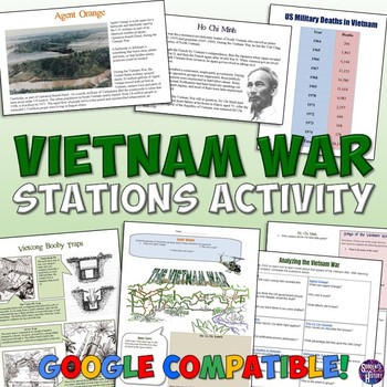
Vietnam War Station Activity for the Cold War
This engaging lesson for the Vietnam War has students rotate through stations to learn about various aspects of America's War in Vietnam. The 7 different stations cover:The Cu Chi TunnelsVietcong Booby TrapsAgent OrangeHo Chi MinhSongs of the Vietnam WarThe Draft and ProtestsMilitary Deaths in the WarEach station engages different intelligences and learning styles. Students create a graph, listen to music, draw pictures, read, answer questions,and analyze pictures. My students are always engaged
Grades:
5th - 10th
Types:
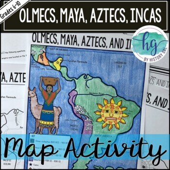
Mesoamerica (Olmecs, Maya, Aztecs) and Incas Map Activity - print & digital
Students will label and color a map to help them visualize and retain the location of the Olmecs, Maya, Aztecs, and Incas in Mesoamerica and South America. They will also label bodies of water and mountain ranges as well as use the map to answer 5 questions. What's Included with the Printed Map:*Blank map with 5 questions for students to answer (2 pages, uneditable pdf)*Blank map without questions (1 1/2 pages, uneditable pdf)*Map for students to just color (1 page, uneditable pdf)*Answer key fo
Subjects:
Grades:
6th - 9th
Types:
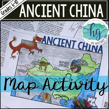
Ancient China Map Activity Lesson (Print and Digital Resource)
This activity will help students better understand the geography of Ancient China. They will label and color the blank map version and answer a few questions. Alternatively, students can just color on the coloring page version. It's a great way to incorporate geography in your lesson.What's included with the printed versions:*Blank Ancient China map for students to label, color, and answer questions (1 page map, 1 page directions, uneditable pdf)*Blank Ancient China map for students to label, co
Grades:
6th - 10th
Types:
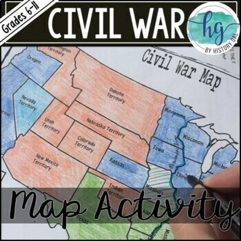
Civil War Map Activity Lesson with Battles (Print and Digital)
This Civil War map activity will help students understand what the United States looked like at the start of the Civil War including its western territories, where significant battles occurred, and which states were Union, Confederate, or Borders states. It's also a great way to incorporate geography into your unit. Students will label, color, and draw on the map and then answer a few questions.What's Included with the Printed Versions:*Blank Civil War Map for students to label, color, and answ
Subjects:
Grades:
7th - 11th
Types:
Also included in: Civil War Unit Bundle
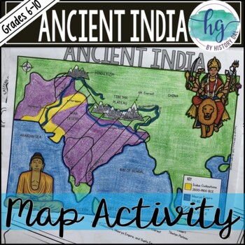
Ancient India Map Activity (Indus Civilizations, Maurya & Gupta Empire)
Students will label and color a map to help them visualize and retain the location of the Indus Civilizations, Maurya Empire, and Gupta Empire as well as key geographical features such as the Brahmaputra, Ganges, and Indus Rivers; Eastern and Western Ghats; Himalayas; Hindu Kush, and more. Students will also use the map to answer 5 questions. What's Included with the printed versions:*Blank map with 5 questions for students to answer (2 pages, uneditable pdf)*Blank map without questions (1 1/2 p
Subjects:
Grades:
6th - 9th
Types:
Also included in: Ancient India Bundle
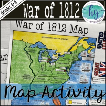
War of 1812 Map Activity Lesson (Print and Digital Resource)
This activity will help students better understand the War of 1812. They will label, color, and answer questions on the blank map version or just color on the coloring page version. It's a great way to incorporate geography in your lesson.What's included with the Print Version:*Blank War of 1812 map for students to label, color, and answer questions (1 page plus 1 page key, uneditable pdf)*War of 1812 Map Coloring Page (1 page plus 1 page key, uneditable pdf)*Reading on the Roots of the War of 1
Subjects:
Grades:
6th - 11th
Types:
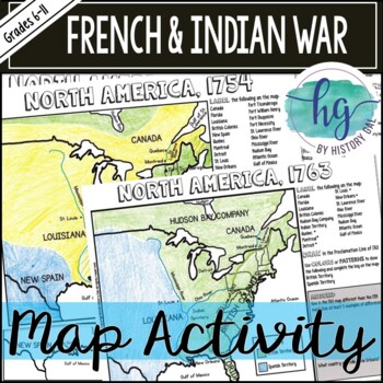
French and Indian War Map Activity (Print and Digital)
This French and Indian War map activity will help students understand the territory changes that occurred between 1754 (the start of the French and Indian War) and 1763 (the end of the French and Indian War) by completing two maps of North American, one from 1754 and one from 1763. It's also a great way to incorporate geography into your unit. Students will label, color, and draw on the map and then answer a few questions. The digital versions work great with distance learning!What's included
Subjects:
Grades:
6th - 11th
Types:
CCSS:
Also included in: American History Map Activities Bundle for U.S. History Units & Lessons
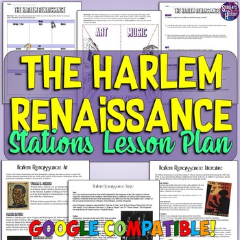
Harlem Renaissance Stations Lesson Activity: Readings, Worksheets, & More
This engaging activity on the Harlem Renaissance includes 23 pages on major authors, artists, and musicians of the era along with readings, primary sources, graphic organizers, and more! A teacher directions page explains several different options for using the materials in a stations lesson plan on the Harlem Renaissance. There are 2 different versions of a graphic organizer for students to use as they move through the stations on art, music, and literature of the Harlem Renaissance. Also inclu
Subjects:
Grades:
7th - 10th
Types:
Also included in: Harlem Renaissance & Roaring 20s Lesson Bundle
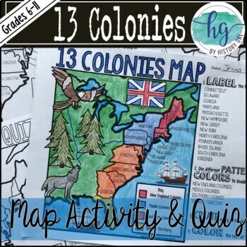
13 Colonies Map and Quiz (Print and Digital Resource)
This resource includes a 13 colonies map for students to complete and a 13 colonies map quiz. Answer keys are included.What is included with the printed maps:*Blank 13 Colonies Map - students label just the 13 colonies and color in the map (1 page plus 1 page key)*Blank 13 Colonies Map - students label the 13 colonies, bodies of water, cities, answer an analysis question, and color in the map (1 page plus 1 page key)*13 Colonies Map Coloring Page - students color the map (1 page) added February
Subjects:
Grades:
8th - 11th
Types:
CCSS:
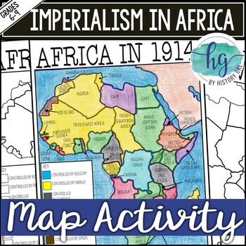
Imperialism in Africa Map Activity Lesson for World History (Print and Digital)
Students will learn about the scramble for Africa by labeling colonies and coloring the map to show which European nations controlled which colonies and which countries remained independent. Students will also answer 3 questions about the map.What's Included with the printed version:*Blank Africa in 1914 map with questions for students to answer (2 pages)*Blank Africa in 1914 map without questions (1 1/2 pages)*Coloring Page for Africa in 1914 map (1 page)*Answer key for map and questions (2 pa
Subjects:
Grades:
6th - 10th
Types:
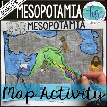
Mesopotamia Map Activity (Print and Digital)
Students will label and color a map to help them visualize the location of the Fertile Crescent and the early civilizations that emerged there (Sumer, Akkad, and Babylon under Hammurabi). Students will also use the map to answer 6 questions. Now, includes a digital version!What's included with the Printed Map:*Blank map with 6 questions for students to answer (2 pages, uneditable PDF)*Blank map without questions (1 1/2 pages, uneditable pdf,)*Map for students to just color (1 page, uneditable pd
Subjects:
Grades:
6th - 9th
Types:
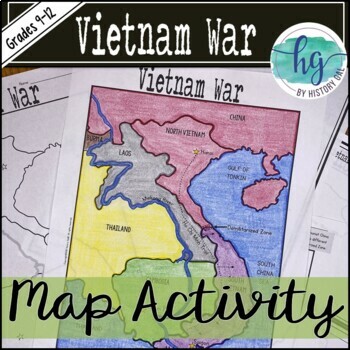
Vietnam War Map Activity (Print and Digital)
This Vietnam War map activity will help students become more familiar with the countries surrounding Vietnam, major cities, and major bodies of water. Students will label, color, and draw on the map and then answer a few questions.What's Included with the Print Version:*Blank Vietnam War Map for students to label, color, and answer questions (1 page map, 1 page directions; uneditable PDF)*Vietnam War Map Coloring Page (already labeled, no questions, 1 page; uneditable PDF)*Blank Vietnam War Map
Subjects:
Grades:
9th - 12th
Types:
CCSS:
Also included in: Vietnam War Bundle
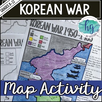
Korean War 1950-1953 Map Activity for No Prep Cold War Lesson
This Korean War map activity will help students become more familiar with key geographical features and important events during the war. Students will label and color the map and then answer a few questions.What's included with the Print Version:*Blank Korean War Map for students to label, color, and answer questions (1 page, uneditable pdf)*Korean War Map Coloring Page (already labeled, no questions, 1 page, uneditable pdf)*Blank Korean War Map without questions (1 page, uneditable pdf)*Key (1
Subjects:
Grades:
8th - 11th
Types:
CCSS:
Also included in: American History Map Activities Bundle for U.S. History Units & Lessons
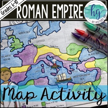
Roman Empire Map Activity (Print and Digital)
Students will label and color a map to help them understand how the Roman Empire expanded between 44 BC - 117 AD. Students will also use the map to answer 5 questions. What's included with the print version:*Blank map with 5 questions for students to answer (2 pages, BC and BCE versions included, uneditable pdf)*Blank map without questions (1 1/2 pages, BC and BCE versions included, uneditable pdf)*Map for students to just color (1 page, BC and BCE versions included, uneditable pdf)*Answer key f
Subjects:
Grades:
6th - 9th
Types:
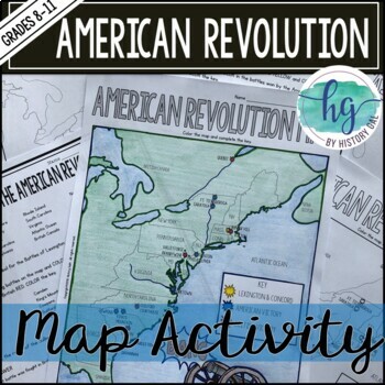
American Revolution Map Activity (Print and Digital)
This activity will help students better understand the American Revolution. They will label and color the blank map version and answer a few questions. Students will label the 13 colonies, important cities, and key battles. Alternatively, students can just color in the key on the pre-labeled version. It's a great way to incorporate geography in your lesson.What's included with print version:*Blank American Revolution map for students to label, color, and answer questions (1 page map, 1 page dire
Subjects:
Grades:
8th - 11th
Types:
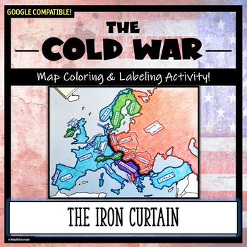
Cold War Map Activity: The Iron Curtain and Alliances (Color and Label!)
Don't just show your students a map of the Iron Curtain, N.A.T.O. and the Warsaw Pact, have them make one! Each student will make their own, personalized map of Europe during the Cold War, and enhance their knowledge of the Democratic and Communist alliances. They will label and color their blank map, complete a "Fast Facts" section, and quiz themselves with an "I Can" self-assessment. A completed map is included, and a link to Google Compatible directions, questions, and a sample map has also
Grades:
6th - 11th
Types:
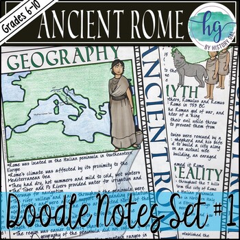
Ancient Rome Doodle Notes Set 1 for Geography and Founding of Rome
This Ancient Rome doodle notes set covers the geography of Italy, the impact of geography on Ancient Rome, the story of Romulus and Remus, Latin settlements, Etruscan rule, and the establishment of the Roman Republic. Students will enjoy coloring and doodling as they take notes to learn about how geography impacted Ancient Rome and about the founding of the city of Rome. What's included with the printed Doodle Notes:*Teacher directions and suggestions (3 pages)*Blank doodle notes for students to
Grades:
6th - 10th
Types:
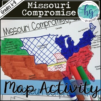
Missouri Compromise Map Activity (Print and Digital)
This activity will help students better understand the 1820 Missouri Compromise. They will label and color the blank map version and answer a few questions. Alternatively, students can just color on the coloring page version. It's a great way to incorporate geography in your lesson.What's included with the printed version:*Blank Missouri Compromise map for students to label, color, and answer questions (1 page map, 1 page directions; uneditable PDF)*Map Key (3 pages; uneditable PDF)*Missouri Com
Subjects:
Grades:
6th - 11th
Types:
CCSS:
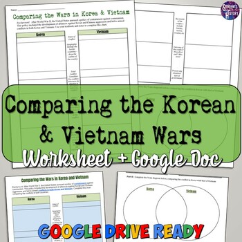
Comparing the Vietnam and Korean Wars Worksheet
This great Vietnam War and Korean War Comparison Worksheet has students use higher-level thinking skills to compare the Vietnam War to the Korean War. In 2 simple columns, students respond to a variety of prompts about the two conflicts against the spread of communism.Examples of prompts include: the dates, causes, geography, key players, casualties, outcome, and more! Following the comparison chart, students complete a Venn diagram comparing the Korean and Vietnam Wars (or conflicts to be speci
Grades:
7th - 11th
Types:
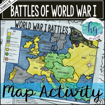
World War 1 (World War I) Battles Map Activity (Print and Digital)
This World War I Battles map activity will help students become more familiar with the nations of Europe by identifying which countries belonged to the Allies, which ones joined the Central Powers, and which ones remained neutral. Students will label main bodies of water, key cities, the route of the Schlieffen Plan, and some of the important European battles including Tannenberg, Ypres, Gallipoli, Verdun, Jutland, Somme, Vimy Ridge, Belleau Wood, Vittorio Veneto, and Argonne Forest. Students wi
Subjects:
Grades:
6th - 11th
Types:
CCSS:
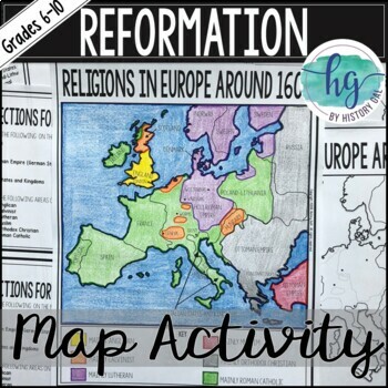
Protestant Reformation Map Activity (Print and Digital)
Students will label and color a map of Europe from 1600 to identify which areas were mainly Anglican, Calvinist, Lutheran, Muslim, Orthodox Christian, and Roman Catholic. They will also answer 9 questions about the map.What's Included:*Blank Religions in Europe Around 1600 map with questions for students to answer (2 pages; uneditable PDF)*Blank Religions in Europe Around 1600 map without questions (1 1/2 pages; uneditable PDF)*Coloring Page for Religions in Europe Around 1600 (1 page; uneditabl
Subjects:
Grades:
6th - 10th
Types:
Showing 1-24 of 3,089 results

