679 results
Geography classroom decors for Google Apps
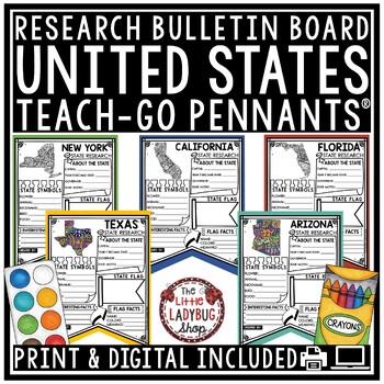
US United States and Capitals Report Research End of Year Project Bulletin Board
You will love these Creative Doodle United States Research Teach-Go Pennants™ that are perfect to start your research with and display on your bulletin boards. CLICK HERE TO CHECK OUT OVER 200 TEACH-GO PENNANTS™INCLUDED:Print & digital options included, see page 3 & 4 for digital info.All pages in BW options (see preview)Clickable Table of Contents These are research templates- actual research is not included.Grading Rubric includedBlank Pennant included if students want to draw their ow
Grades:
3rd - 5th
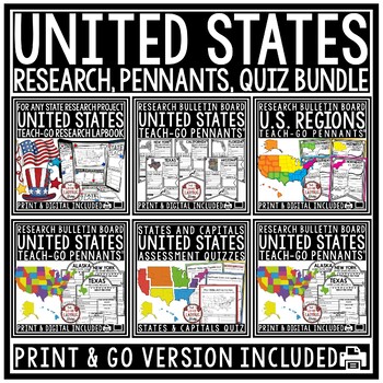
US Regions of the United States Geography States and Capitals Research Project
You will love having all your tools for teaching about the 50 United States with this Research Bundle. It includes State Research Pennants, Regions of the United States Pennants, 50 State Quizzes and more! I have bundled all my research templates into one easy money saving bundle. You will love having all these options for your students as you study throughout the year the 50 States of the United States. It is a great way to differentiate for your classroom. Kindly Note: Actual research is not i
Grades:
3rd - 5th
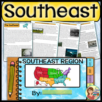
US Regions: Southeast Region (Print and Digital)
This is a comprehensive resource that explores the twelve states in the Southeastern region. A non-fiction informational text packet covers the region’s history, climate, land, economy, natural resources and landmarks. Several other items are included in this resource as well. Please see below for more details. UPDATE: Mississippi's new flag has been added to the poster.★ ★ ★ BUNDLE ALERT! DO NOT MISS THE SAVINGS! ★ ★ ★SAVE 20% OFF individual unit prices when you purchase the Five Regions of
Grades:
4th - 6th
Types:
Also included in: 5 Regions of the United States BUNDLE (Print and Digital)
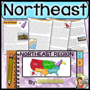
US Regions: Northeast Region (Print and Digital)
This comprehensive resource explores the eleven states in the Northeastern region. A non-fiction informational text packet covers the region’s history, climate, land, economy, natural resources and landmarks. Several other items are included in this resource as well. Please see below for more details.UPDATE: This resource now includes GOOGLE SLIDE versions for the student worksheets, booklet and the PowerPoint presentation.★ ★ ★ BUNDLE ALERT! DO NOT MISS THE SAVINGS! ★ ★ ★SAVE 20% OFF individ
Grades:
4th - 6th
Types:
Also included in: 5 Regions of the United States BUNDLE (Print and Digital)
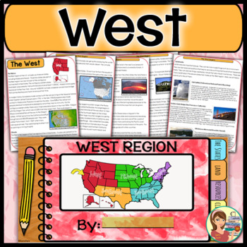
US Regions: West Region (Print and Digital)
This is a comprehensive resource that explores the eleven states in the Western region. A non-fiction informational text packet covers the region’s history, climate, land, economy, natural resources and landmarks. Several other items are included in this resource as well. Please see below for more details. UPDATE: This resource now includes GOOGLE SLIDE versions for the student worksheets, booklet and the PowerPoint presentation.★ ★ ★ BUNDLE ALERT! DO NOT MISS THE SAVINGS! ★ ★ ★SAVE 20% OFF in
Grades:
4th - 6th
Types:
Also included in: 5 Regions of the United States BUNDLE (Print and Digital)
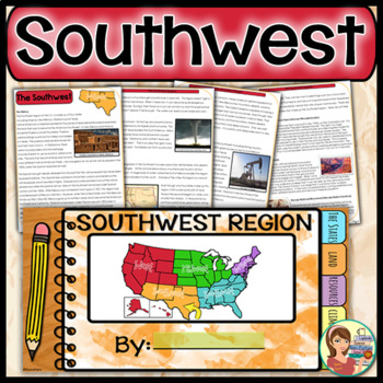
US Regions: Southwest Region (Print and Digital)
This is a comprehensive resource that explores the four states in the Southwestern region. A non-fiction informational text packet covers the region’s history, climate, land, economy, natural resources and landmarks. Several other items are included in this resource as well. Please see below for more details. UPDATE: This resource now includes GOOGLE SLIDE versions for the worksheets, booklet and presentation.★ ★ ★ BUNDLE ALERT! DO NOT MISS THE SAVINGS! ★ ★ ★SAVE 20% OFF individual unit price
Grades:
4th - 6th
Types:
Also included in: 5 Regions of the United States BUNDLE (Print and Digital)
5 Regions of the United States BIG BUNDLE
This regions of the United States big bundle contains all of my resources for five complete units for the U.S. regions. A non-fiction informational text packet covers each region’s history, climate, land, economy, natural resources and landmarks. Fun Doodle Notes, vibrant posters and PowerPoints are included too! You'll find online resources including interactive Boom Cards for each region as well as tabbed notebooks (printable and Google Slide versions).Please see below for more details. This r
Subjects:
Grades:
4th - 6th
Types:
World Geography Back to School Bundle | Posters, Icebreaker, and Activities
Start your school year off right with this World Geography Back to School Bundle! This bundle features 10 popular resources that are specifically designed for teaching World Geography and preparing your classroom for the new school year!Immerse your students in the study of geography from day one with the resources in this bundle. These activities, posters, and learning tools will spark your students’ curiosity about the world and introduce foundational concepts of geography, such as "What is Ge
Grades:
6th - 9th
Types:
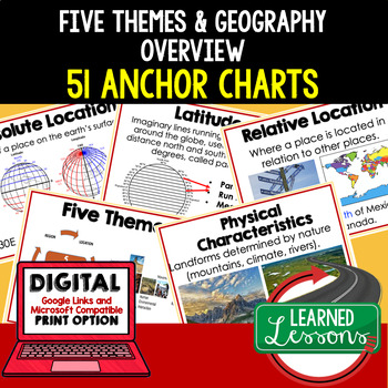
Five Themes of Geography Anchor Charts (World Geography Anchor Charts), Posters
Five Themes and Geography Anchor Charts (Great as Bellringers, Word Walls, and Concept Boards), Five Themes Posters, Geography Review Pages, Google Classroom, Print & Digital Distance Learning This bundle will take your through the entire Geography curriculum. It will include all components of Geography. This is perfect for traveling around the world in style. THIS IS ALSO PART OF World Geography MEGA BUNDLE, Five Themes BUNDLE, Geography ANCHOR CHART BUNDLE Anchor charts are great for
Grades:
6th - 12th
Types:
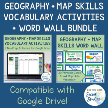
Map Skills and Geography Vocabulary Activity Set and Word Wall Bundle
This bundle contains our Geography Vocabulary Activities and our Map Skills Word Wall. The words used in each resource are the same and go great together!This Map Skills Word Wall contains 30 words and is available in both a color version and a (mostly) black and white version. These easy-to-read cards are ready to print and display in your classroom! All cards include the word itself, the definition, and a historical image or photograph to help your visual learners better understand the word. T
Grades:
5th - 8th
Types:
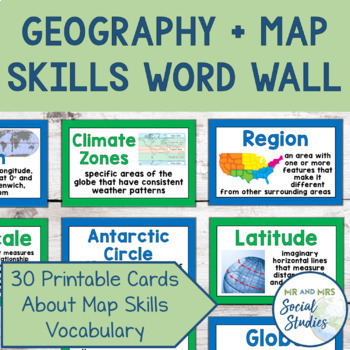
Map Skills + Geography Word Wall | Printable Cards + Editable Slides Vocabulary
This Map Skills Word Wall contains 30 words and is available in both a color version and a (mostly) black and white version. These easy-to-read cards are ready to print and display in your classroom! Even better, there is an editable Google Slideshow included with all of the words and images, so you can edit the definitions and present the words to your students or post on Google Classroom!All cards include the word itself, the definition, and a historical image or photograph to help your visual
Grades:
5th - 8th
Also included in: Map Skills and Geography Vocabulary Activity Set and Word Wall Bundle
Water Conservation Sustainability Activism Activity Kit
Explore the work of fresh water supply conservation by activists, scientists, and policymakers in this 1-2 week activity kit. Topics include:Industrial and agricultural pollutionCompeting stakeholdersDesalination and recycled water Water conservation & sanitation improvement projectsThese 4 activities are perfect for exploring our natural resources in your Human Geography, Current Global Issues, or Environmental Science course.All student materials come in both print PDF and editable digital
Subjects:
Grades:
9th - 12th
CCSS:
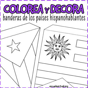
22 Flags Bunting - Spanish Speaking Countries - Coloring Activity & Class Decor
Decorate your classroom with these fun flag buntings! Perfect for any level, these three sets can be used to introduce Hispanic Heritage Month or as an extension activity to Spanish Speaking Country studies. It is appropriate for both middle and high school.You will receive:1) Horizontal, US paper-sized flag set 2 Two bunting sets: triangle and square. Each flag comes with a dotted line so students know where to fold the bunting.Measurements in inches:Flag set 1 (coloring set): 9.7 x 5.7 inFlag
Subjects:
Grades:
Not Grade Specific
Also included in: BUNDLE Spanish Speaking Countries Activities for HHM and cultura diaria
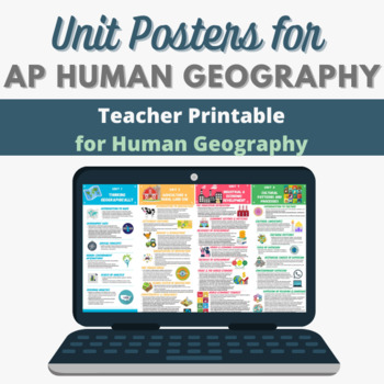
AP Human Geography Unit Posters (Culture, Urbanization, Migration and more!)
Looking to decorate your bulletin boards or a hallway display - or just add a quick graphic to Google Classroom to guide students for each unit? Look no further! Included are png files for each of the seven units of study. Information for each was taken directly from the most recent Course and Exam Description (CED) published by the College Board. These print well in color on LEGAL or LEDGER size paper, or larger poster paper if you have that ability.
Subjects:
Grades:
7th - 12th
Types:
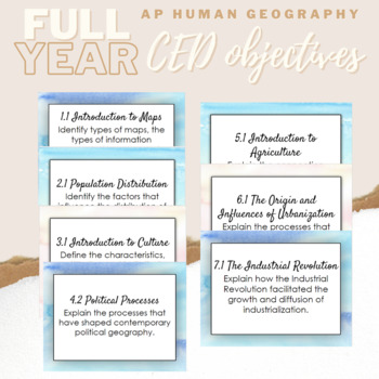
APHG - Learning Objectives - CED Aligned
Display your learning objectives on the wall or on the board with these learning objective cards. Laminate and hang them or use notecard rings to make them easy to flip through for your own reference. There is so much you can do with these! Directly from the APHG CED!
Subjects:
Grades:
9th - 12th, Staff
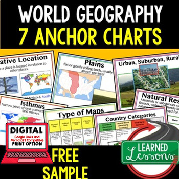
Geography Anchor Charts Sampler Free, World Geography Posters
Geography Free Anchor Charts (Great as Bellringers, Word Walls, and Concept Boards)(Great as Bellringers, Word Walls, and Concept Boards), Mapping Skills Posters, Geography Review Pages, Digital Activity via Google Classroom This bundle will take your through the entire Geography curriculum. It will include all components of Geography. This is perfect for traveling around the world in style. Sign up for email updates and follow me on TPT for updates.Anchor charts are great for representing
Grades:
6th - 12th
Types:
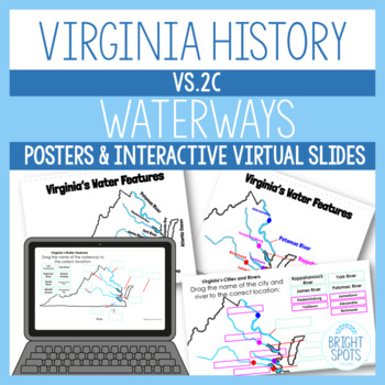
Virginia Maps Virtual Interactive Slides SOL VS.2c Waterways
These Google Slides are a great way for your students to review the waterways of Virginia. Assign a copy to each student, and they'll be able to drag and drop, and type their answers on the slides. Review posters are also included in Color and Black & White. Aligned with the VA Studies SOLs 2015.Maps included:VS.2c: Virginia's Water FeaturesVS.2c: Virginia's Cities and RiversOther similar products…➯ 4th Grade Science Word Wall➯ Growing Patterns Task Cards➯ Geometry Task Cards➯ 3rd Grade Scie
Grades:
4th - 5th
Types:
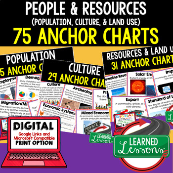
People & Resources (Population, Culture, Land Use) Geography Anchor Charts
People and Resources (Population, Culture, Land Use) 75 Anchor Charts (Great as Bellringers, Word Walls, and Concept Boards), Posters, Geography Review Pages, Digital Activity via Google Classroom This bundle will take your through the entire Geography curriculum. It will include all components of Geography. This is perfect for traveling around the world in style. THIS IS ALSO PART OF World Geography MEGA BUNDLE, Five Themes BUNDLE, Geography ANCHOR CHART BUNDLE Anchor charts are great for
Grades:
6th - 12th
Types:
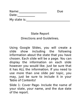
5th Grade State Report and Poster (Google Slides)
This is a complete packet for 5th grade State Reports. A parent letter is included, as well. Students will use Google Slides to create their report and a hand made poster (directions included) is required.
Grades:
5th
Types:
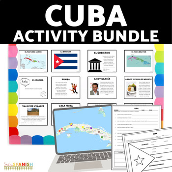
Explore Cuba Activity BUNDLE | Virtual Field Trip, Readings, and more!
Introduce your students to the culture of Cuba! These printable and digital activities are engaging for your students and easy for you to use!Students read and explore the information provided to learn. The maps, readings, graphic organizer, and comprehension questions are included in Spanish and English so you can choose which language best suits your students at their level.VIRTUAL FIELD TRIPMap in EnglishWorksheet and Graphic Organizer in EnglishMap in SpanishWorksheet and Graphic Organizer i
Subjects:
Grades:
7th - 11th
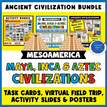
Maya Inca Aztec Mesoamerica Bundle | Virtual Field Trip Task Cards Posters
Looking for activities for your Maya, Aztec and Inca lessons? This Ancient Civilization Value bundle includes 2 student activities along with a Mesoamerica poster set to use with your lessons. Students will learn about each of these civilizations' achievements and accomplishments, daily life, government and the fall of each empire. What's included?Virtual Field Trip: 6 Digital Choice Boards Virtual Field Trip: Online Postcard Quiz Virtual Field Trip: Activity SlidesVirtual Field Trip: Teacher &
Grades:
4th - 8th
Types:
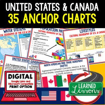
United States Anchor Charts, Canada Anchor Charts, (World Geography Anchor Chart
Geography United States and Canada 35 Anchor Charts (Great as Bellringers, Word Walls, and Concept Boards), U.S. and Canada Posters, Geography Review Pages, Digital Activity via Google Classroom This bundle will take your through the entire Geography curriculum. It will include all components of Geography. This is perfect for traveling around the world in style. THIS IS ALSO PART OF World Geography MEGA BUNDLE, United States and Canada BUNDLE, Geography ANCHOR CHART BUNDLE Anchor charts ar
Grades:
6th - 12th
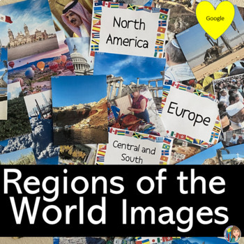
Regions of the World Images for Decorating and Activities with Google Slides
Look at all of these beautiful images! This resource is designed for you to create an interactive image wall in your classroom that represents the different regions of the world. Use these images all year long to help teach the different regions of the world. Each region includes 10 or more images for you to choose from to display in your room with pictures representing culture, geography, religion, dress, economy, environment, architecture and so much more! There are two sets included in this r
Grades:
6th - 9th
CCSS:
Also included in: GEOGRAPHY ACTIVITIES BUNDLE
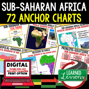
Sub-Saharan Africa Anchor Charts (World Geography Anchor Charts)
Geography Sub-Saharan Africa Anchor Charts (Great as Bellringers, Word Walls, and Concept Boards), Mapping Skills Posters, Geography Review Pages, Digital Activity via Google Classroom This bundle will take your through the entire Geography curriculum. It will include all components of Geography. This is perfect for traveling around the world in style. THIS IS ALSO PART OF SEVERAL BUNDLES -World Geography MEGA BUNDLE, Sub-Saharan Africa BUNDLE, ANCHOR CHART BUNDLEAnchor charts are great for
Grades:
7th - 11th
Showing 1-24 of 679 results


