854 results
2nd grade geography resources for Easel Activities
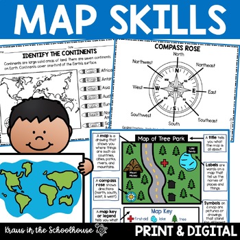
Map Skills Activities and Worksheets Maps Globes Landforms Continents & Oceans
Make learning fun for your students when teaching map skills. Map skills topics include maps, globes, continents, oceans, landforms, water forms, suburban, urban, rural, directions, and more. This resource is perfect for second, third, and fourth grade students. Digital activity included using Easel by TpT.These activities can be used during whole group instruction, independent work, and center time. Easy-to-use activity sheets with clear directions and answer keys are provided.HERE'S WHAT YOU'L
Grades:
2nd - 4th
Types:
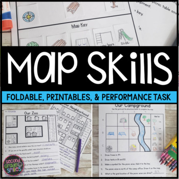
Map Skills Worksheets & Performance Task | Print & Easel
Practice using a map key, a compass rose, and a scale to read, interpret, and create basic maps! These printables are perfect for teaching geography or quick map skills assessments in first grade, second grade, or third grade! The following print-and-go map skills activities are included:Map Vocabulary Foldable: Students cut along the dotted lines to create three flaps and then fold along the solid line. Under each flap, students define the vocabulary word shown on the top of the flap. Words inc
Grades:
1st - 3rd
Types:
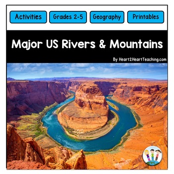
U.S. Major Rivers & Mountains - Major Rivers of the United States Activity Pack
In this comprehensive unit, students will learn about 7 major rivers and 3 major mountain chains that played an incredibly important role in the history of the United States. Students will love the reading passages and activities about these major rivers and mountain chains. What's Inside:Landforms: Rivers and MountainsMississippi RiverMissouri RiverColorado RiverOhio RiverHudson RiverSt. Lawrence RiverRio Grande RiverThe Rocky MountainsThe Appalachian MountainsThe Sierra Nevada MountainsTeacher
Subjects:
Grades:
2nd - 4th
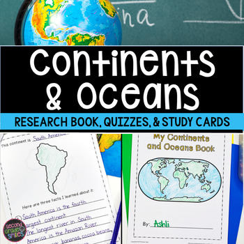
Continents and Oceans Geography Research, Study Cards, Quizzes | Print & Easel
This seven continents and major oceans geography resource includes: Continent Student Book - A cover page, label by number student maps, and pages picturing an outline of each of the 7 continents with space for students to write three facts about the continent are included.Continent and Ocean Quizzes - Both continent and ocean options come with and without word banks. Answer keys are included.Continent Study Cards - Each study card features a picture of the continent and the continent’s name.
Subjects:
Grades:
1st - 3rd
Types:
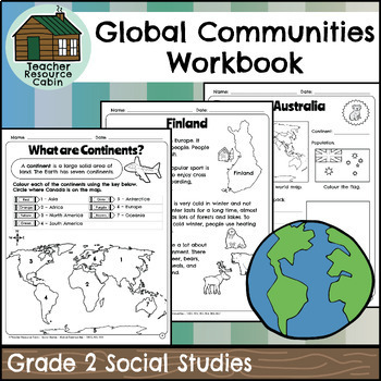
Global Communities Workbook (Grade 2 Social Studies)
This workbook covers the Grade 2 Global Communities unit in the NEW 2023 Ontario Social Studies curriculum (People and Environments).It covers various topics such as map skills, continents, oceans, and the equator. It further explores Canada, comparing climate, wildlife, natural features, homes, and recreation. It includes information on specific Canadian communities in Ontario, Yukon, Nova Scotia, and British Columbia, including a contemporary FNMI community (Saugeen First Nation). The workbook
Grades:
2nd
Also included in: Grade 2 Ontario Social Studies Workbook Bundle
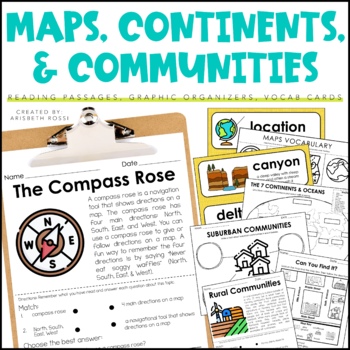
Maps and Globes - 7 Continents and Oceans- Landforms Map Skills Activity
This interactive and engaging resource will help your students learn all about Map Skills, Globes, Continents, Landforms, and Communities! These Map Skills activities will not only have your students learning the importance of locating on places on maps and globes, they’ll also be learning about constructing and reading a simple map, using cardinal directions and identifying map symbols. Lastly, they'll also compare and contrast basic land use in urban, suburban, and rural environments.This Maps
Grades:
1st - 3rd
Types:
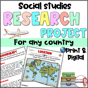
Social Studies Research Project for any Country - Culture and Geography Digital
Social Studies research project for any country / Geography research projectEngage your students in an exciting social studies research project that explores the rich cultural heritage and geography of different countries. This country research project encourages students to explore fascinating topics such as history, traditions, and customs. Through this hands-on geography investigation, students develop a deeper understanding of global diversity and enhance their research and critical thinkin
Subjects:
Grades:
2nd - 6th
Types:
Also included in: Social Studies research project for any country in Spanish - landforms
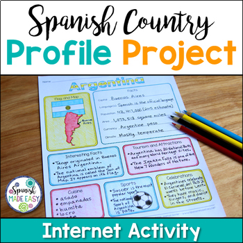
Spanish Country Profile Project
This is a country profile project over the 21 Spanish-speaking countries. Students will research important geographical and cultural facts about each country. This activity includes a blank country profile template, a template for each country, a list of Spanish-speaking countries, and a grading rubric in both English and Spanish. Research topics include: Countries flag, map, capital, language(s), population, area, currency, climate, interesting facts, tourism and attractions, cuisine, sports, a
Subjects:
Grades:
2nd - 12th
Types:
Also included in: Spanish Countries and Capitals Geography Bundle
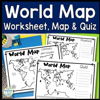
World Map: World Map Quiz (Test) and Map Worksheet | 7 Continents and 5 Oceans
Map of the World Test: Easy-to-read World Map Quiz requires students to locate 7 Continents and 5 Oceans. This resource also includes a world map printable for kids to practice learning the map of the world. Students must label continents and oceans: 7 Continents (Asia, Africa, North America, South America, Antarctica, Australia & Europe) and 5 Oceans (Atlantic, Pacific, Indian, Arctic & Southern). This is an ideal continents and oceans activities for 1st grade, 2nd grade, 3rd grade, 4th
Grades:
2nd - 6th
Types:
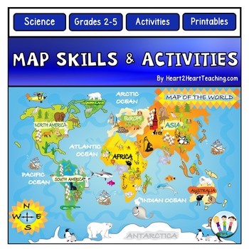
Back to School Map Skills Worksheets First Day of Social Studies 2nd 3rd Grades
Back to School Map Skills with US Maps & World Maps Activities. Learning about Map Skills has never been so much fun! This resource has several engaging map activities that will have students hunting for answers. It works well for centers and is perfect for a beginning-of-the-school-year activity. A complete unit with activities for students to practice their map skills. High-resolution maps are included for students to use for completing a variety of map activities. Students can use maps fo
Grades:
2nd - 5th
Types:
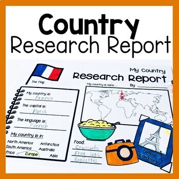
Country Research Report Worksheets and Graphic Organizers Google Slides
Are you looking for engaging activities for writing a country research project? These country research graphic organizer worksheets are perfect for your literacy and social studies lessons about countries. They are ideal for research projects and report writing. They are also great for reading lessons with informational texts.These informational essay graphic organizers are offered as no prep printables, as well as in digital formats (TPT Easel and Google Slides). Here's the thing. You want your
Subjects:
Grades:
1st - 3rd
Grade 2 Social Studies Ontario Global Communities 2023
This package includes:Shared reading passages, Easy-to-follow worksheets, Differentiated tasks (Low and High), Unit Quiz, Unit Review Tests, Answer Key, All expectations in "People and Environments" Strand covered, Includes 3 Formats:1. PDF Download:Download PDF and photocopy worksheets2. TPT EASEL Activity:EASEL FAQEASEL Tutorial3. Google Slides:Download PDF and click on the link at the bottom of the contents pageMake your own copy of the Google Slides when promptedBased on the Ontario Curricul
Grades:
2nd
Types:
Also included in: Grade 2 Ontario Social Studies Bundle 2023
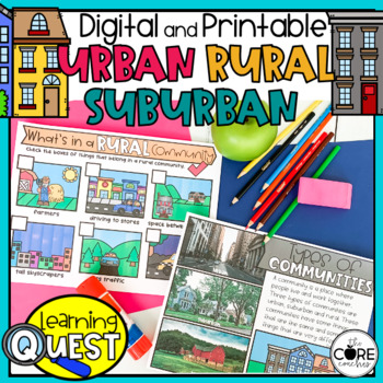
Types of Communities - Urban, Suburban, Rural Communities
These digital Types of Communities activities are easy to use as traditional classroom lesson plans, centers, homework, independent work, or they’re great for fast finishers in first and second grades. Busy teachers love these low-prep lessons and activities that are sure to engage their students! With print & digital options, Learning Quests provide a balance of face to face and device-based learning styles for your modern classroom.Why do teachers and students love our Learning Quests?We a
Subjects:
Grades:
1st - 2nd
Types:
Geography Activities Major Landforms and Bodies of Water Reading Passages Unit
This fun unit is perfect for the back to school season to introduce 12 major landforms and reinforce geography skills! It includes 12 major landforms with reading passages, organizers, vocabulary posters, flip book, and a unit test.This activity pack is perfect for introducing and reviewing geography skills through creative hands-on activities. Students will love creating this geography flip book in centers or social studies stations. All the activities in this pack will reinforce and expand the
Grades:
2nd - 5th
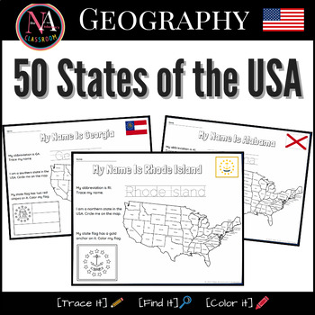
50 States of the USA Activity Bundle (Map and Flags)
Try it on EASEL! This resource includes a ready-to-use interactive activity students can complete on any device. This “50 States of the USA” activity includes fun worksheets for all 50 states, including Washington DC. Each activity aims to build and strengthen the following skillsets for Pre-K thru 1st Grade students.1. Trace it—Penmanship.2. Find it—Critical thinking and problem-solving.3. Color it—Creativity and fine motor skills. The activities also help familiarize young students with the US
Subjects:
Grades:
PreK - 2nd
Types:
Also included in: USA State Symbols and Maps MEGA Bundle | Geography
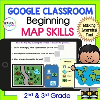
MAP SKILLS & GEOGRAPHY Vocabulary Activities 2nd 3rd Grade GOOGLE SLIDES & EASEL
Discover the world & learn geographical terms with Google Slides MAP SKILLS and GEOGRAPHY Activity set! This interactive resource contains 15 Google Slides and 14 EASEL Pages full of map and geography vocabulary. This resource also includes four interactive vocabulary pages, four interactive map term and icon pages, and six interactive maps and questions to promote greater understanding and memorization. Included vocabulary: Gulf, River, Lake, Plain, Valley, Peninsula, Mountain, Island, Ocea
Grades:
2nd - 4th
Types:
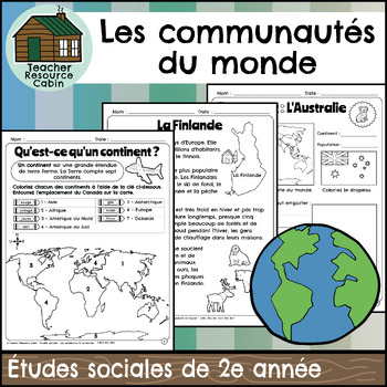
Les communautés du monde (Grade 2 Ontario FRENCH Social Studies)
This FRENCH workbook covers the Grade 2 Global Communities unit in the NEW 2023 Ontario Social Studies curriculum (People and Environments).Ce cahier d'exercices couvre l'unité Les communautés du monde de la 2e année du programme d'études sociales de l'Ontario 2023 (Communauté et environnement).It covers various topics such as map skills, continents, oceans, and the equator. It further explores Canada, comparing climate, wildlife, natural features, homes, and recreation. It includes information
Grades:
2nd
Also included in: MEGA BUNDLE: Grade 2 Ontario FRENCH Social Studies Full Units
2nd Grade Social Studies Curriculum Geography Unit Maps Landforms
A geography unit that includes lesson plans, comprehension, vocabulary words, activities, and even a unit assessment. Unit follows along with the Michigan Citizenship Curriculum for 2nd grade, however, with the community theme it is applicable in almost any place.GOOGLE DRIVE ACCESS LINKS ARE AVAILABLE IN THE PDF DOWNLOAD ON THE GOOGLE DRIVE ACCESS PAGEGoogle Drive accessible files are available in slides/forms via links.Want to see a sample lesson? CLICK HERE FOR A LESSON FREEBIELesson Plan Ti
Subjects:
Grades:
1st - 4th
Types:
Also included in: 2nd Grade Social Studies Communities Curriculum YEAR LONG Bundle Units
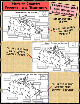
Map of Canada's Provinces and Territories For Students to Label and Colour
This download contains 6 maps of Canada (11 x 17 paper) to allow you differentiate your instruction to help meet needs of all students in your classroom as they learn to identify and locate the provinces and territories in Canada.This download contains: 1. A map of Canada with the province and territory (boxes left blank for students to fill in). Students provided with a colour key to colour each province and territory. 2. A map of Canada with the first letter/s of each province and territory s
Subjects:
Grades:
2nd - 5th
Types:
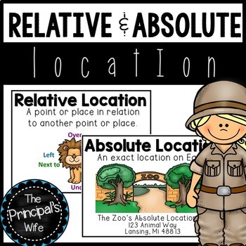
Absolute and Relative Location
This geography unit was created to cover the concepts of absolute and relative location. The fun zoo themed activities will help engage your students in the standard being covered.
This lesson is a part of my geography bundle.
To download the bundle, click here!
What’s Included?
1. Word Wall Posters
- Absolute and Relative Location posters that include definition and visual
examples.
3. Welcome to the Zoo! Relative Location Activity and Teacher
Call Out Sheet
4.
Subjects:
Grades:
1st - 2nd
Types:
Also included in: Geography Bundle
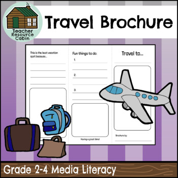
Travel Brochure (Grades 2-4 Language)
This Travel Brochure assignment can be used as a tool to explore cultural diversity within your classroom while also meeting media and literacy Ontario curriculum expectations. Students can choose a country from their family background or a country that interests them to explore for this task. The task requires students to research various characteristics of their chosen country, such as climate, the country flag, cultural foods, things to do, and unique sights to see. Encourage your students to
Subjects:
Grades:
2nd - 4th
Also included in: Grade 2 Ontario 2023 Language Bundle (FULL YEAR)
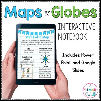
Maps and Globes Skills Digital Interactive Notebook PowerPoint Google Slides
This digital resource is perfect for your Maps and Globes unit. It includes BOTH a power point and a Google slides presentations. There are 25 total slides, some are teaching slides that explain the vocabulary and concepts and others are interactive with click and drag activities. Covers the following topics:What is a map?What is a globe?Comparing Maps and GlobesParts of a MapCompass RoseTypes of MapsResource Map ActivityEquator and Prime MeridianLongitude and Latitude Continents and OceansMap S
Subjects:
Grades:
2nd - 4th
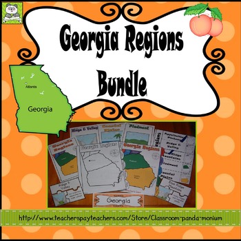
Georgia Regions
This bundle contains a nonfiction booklet that is great to use when studying the Georgia Regions. It meets the Georgia's Second Grade Social Studies GSE's for SS2G1a. This informational reader contains 8 pages including the cover.Pages are in blackline and include:Cover (Map of GA)GeorgiaAppalachian PlateauRidge and ValleyBlue Ridge MountainsPiedmontCoastal PlainsFall LineAssessmentEach region addresses the following: locationlandform descriptionsoilIt is also contains:Wordwall-15 cards in all,
Subjects:
Grades:
2nd
Types:
Also included in: Georgia Second Grade Social Studies BIG Bundle
2nd Grade Map Skills, Pirate Themed- Print and Digital
Michael finds a map and wants the promised treasure. Unfortunately, he doesn't know how to read a map. He learns in this fun, hands-on map unit that contains information on continents, countries, states, and street maps, all with a pirate theme. Students learn about the compass rose, cardinal and ordinal directions, and map key. They follow the clues to find the pirate treasure. There is a lot of student practice worksheets.Contains:Compass Rose informationCompass Rose cut and glue student
Subjects:
Grades:
2nd
Types:
Showing 1-24 of 854 results


