128 results
4th grade Common Core RH.9-10.7 resources
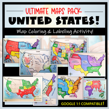
U.S. Maps & Geography- The Ultimate Label & Color Maps Pack! (American History)
This United States Ultimate Maps & Geography Pack includes eight different maps for your American History student explorers- Political Map, Physical Map, Native American Cultural Regions, 13 Colonies, Westward Expansion, 5 Regions, Civil War, and a World Map. These labeling and coloring activities are interactive, engaging, and ready to use- just print and copy! A Teacher’s Guide is provided, as well as options for use to fit your curriculum/lesson. You will also receive a completed, col
Grades:
3rd - 10th
Types:
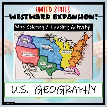
Westward Expansion Map Activity (Label and Color the Map!)
This US Geography Map Activity is a MUST for students who are learning about Westward Expansion! Students will identify, label, and color the various territories that were acquired by the United States to complete the borders that it has today. Directions for labeling and coloring are provided. A completed and colored map is provided for reference, but this map can be completed using a textbook or online resource as well. This is a creative and engaging way of supplementing lessons on geograph
Grades:
3rd - 11th
Types:
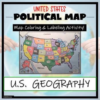
US Political Map Activity- Label and Color the 50 States!
This US Geography Map Activity is a MUST for students who are learning about the states! As a political map, they will label and color all 50 states of the United States of America, as well as surrounding areas. Directions and a key of the states are provided. A completed, colored map is provided for reference, but this map can be completed using a textbook or online resource as well. This is a creative and engaging way of supplementing lessons on geography, civics, or the history of the Unite
Grades:
3rd - 11th
Types:
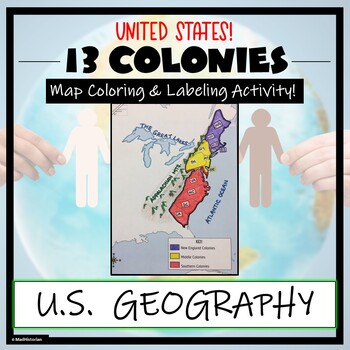
13 Colonies Map Activity- Label and Color the Map!
This 13 Colonies Map Activity is a great supplement to your lesson on the colonial period or American Revolution. Students will identify and label the colonies, and then color the three regions- Southern colonies, Middle colonies, and New England. They will also complete a map key. Directions for labeling and coloring are provided. A completed and colored map is provided for reference, but this map can be completed using a textbook or online resource as well. This is a creative and engaging w
Grades:
3rd - 10th
Types:
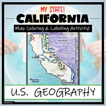
California Map Skills and Geography- Label and Color Activity!
This US Geography Map Activity is a MUST for students who are learning about the state of California! Students will label and color the map to identify cities, physical geography, and landmarks of their region. A completed and colored map is provided for reference, but this map can be completed using a textbook or online resource as well. This is a creative and engaging way of supplementing lessons on geography, civics, or the history of California. The activity concludes with “Fast Facts”, and
Grades:
3rd - 10th
Types:
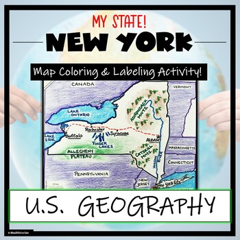
New York Map Skills and Geography- Label and Coloring Activity!
This US Geography Map Activity is a MUST for students who are learning about the state of New York! Students will label and color the map to identify cities, physical geography, and landmarks of their region. A completed and colored map is provided for reference, but this map can be completed using a textbook or online resource as well. This is a creative and engaging way of supplementing lessons on geography, civics, or the history of New York. The activity concludes with “Fast Facts”, and fiv
Grades:
3rd - 10th
Types:
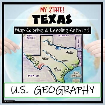
Texas Geography & Map Skills- Label and Coloring Activity!
This US Geography Map Activity is a MUST for students who are learning about the state of Texas! Students will label and color the map to identify cities, physical geography, and landmarks of their region. A completed and colored map is provided for reference, but this map can be completed using a textbook or online resource as well. This is a creative and engaging way of supplementing lessons on geography, civics, or the history of Texas. The activity concludes with “Fast Facts”, and five analy
Grades:
3rd - 11th
Types:
Geography Skills Review Centers Activity
Need to review basic Geography skills? Looking for an engaging resource to review those Geography skills?Use this 26 page Geography Skills Review Centers Activity to help your students review the basic Geography skills that are so vital for any Social Studies course. Open the Preview to see the complete product.Set includes 4 skills review cards on each of the following topics:ChartsGraphsMapsInformational TextsEach card provides 5 questions to guide students in the analysis of the informationa
Grades:
3rd - 12th
Types:
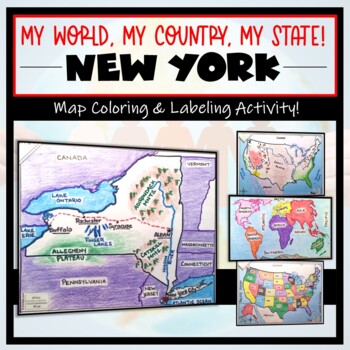
New York Map- 'My World, My Country, My State'! (Label and Color Activity)
This “My World, My Country, My State!” Map Activity is a MUST for students who are learning about their place in the world- literally! This labeling and coloring activity focuses on learning 1.) the Continents and Oceans, 2.) the United States, and 3.) the state of New York where students will identify cities, physical geography, and landmarks of the region. This is a creative and engaging way of supplementing lessons on geography, civics, or social studies. Each map concludes with “Fast Facts”,
Grades:
3rd - 10th
Types:
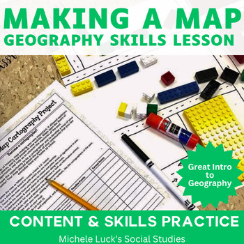
Cartography Making A Map Geography Project
Making a Map Cartography Student Project Assignment is the best lesson to use when starting a Geography or History class! It sets the foundation for learning all about placing and their locations!I used this activity in all of my Social Studies classes, grades 6-11, at the beginning of the year to refresh basic mapping skills. This rubric requires students to get involved in their path to school and to create a 3-D map of the trip. Students must include significant and favorite places, as well
Grades:
4th - 11th
Types:
Group Research Project Templates BUNDLE
If want your students to exercise their research skills, collaboration skills, and creativity all in one place, these resources give you everything you need for ANY topic! Don’t put all that extra work on yourself to come up with a project from scratch. Just fill these templates with the topic your class is studying and you’ll have everything you need—from start to end—to watch your students learn and create together!This is the FULL SET of everything needed for a general collaborative creative
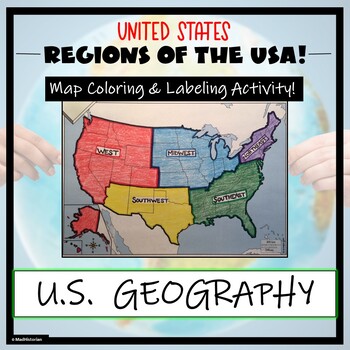
US Regions Map Activity- Label and Color the Five Regions!
This US Geography Map Activity is a MUST for students who are learning about the Five Regions of the United States! Students will identify, label, and color the five regions of the US- Northeast, Southeast, Mid-west, Southwest, and West. Directions for labeling and coloring is provided. A completed and colored map is provided for reference, but this map can be completed using a textbook or online resource as well. This is a creative and engaging way of supplementing lessons on geography, topogr
Grades:
3rd - 10th
Types:
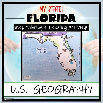
Florida Map Skills and Geography- Label and Color Activity!
This US Geography Map Activity is a MUST for students who are learning about the state of Florida! Students will label and color the map to identify cities, physical geography, and landmarks of their region. A completed and colored map is provided for reference, but this map can be completed using a textbook or online resource as well. This is a creative and engaging way of supplementing lessons on geography, civics, or the history of Florida. The activity concludes with “Fast Facts”, and five a
Grades:
3rd - 10th
Types:
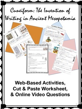
Cuneiform Bundle: Activities on the Invention of Writing in Mesopotamia
Note: This is the Print/PDF version. We also have a Google Apps/Distance Learning version available by clicking here.This 23-page product is a set of activities for your students to learn about the invention of writing in ancient Mesopotamia. All websites for the online activities and video are provided. Your students will love learning using the internet and watching the cartoon video!This lesson is aligned with standards for history/social sciences at the state and national levels.Included:
Grades:
4th - 10th
Types:
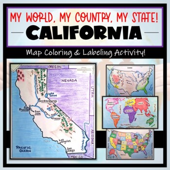
California Map Activity- "My World, My Country, My State!" (Label and Color Maps
This “My World, My Country, My State!” Map Activity is a MUST for students who are learning about their place in the world- literally! This labeling and coloring activity focuses on learning 1.) the Continents and Oceans, 2.) the United States, and 3.) the state of California where students will identify cities, physical geography, and landmarks of the region. This is a creative and engaging way of supplementing lessons on geography, civics, or social studies. Each map concludes with “Fast Facts
Grades:
3rd - 10th
Types:
Complete Essential Facts for VA SOL Civics & Economics
This product includes EVERYTHING students must know for the Virginia Standards of Learning (SOL) Test. Essential Facts are the most EFFECTIVE study tool for students preparing for their standardized testing. I know this from experience and in the past 5 years I have personally improved my schools Civics and Economics test scores by a substantial margin. I used this strategy with the lowest performing group of students in my school and our SOL pass rate improved from 75% to 96%. Last year I had a
Subjects:
Grades:
4th - 12th, Higher Education, Adult Education
Types:
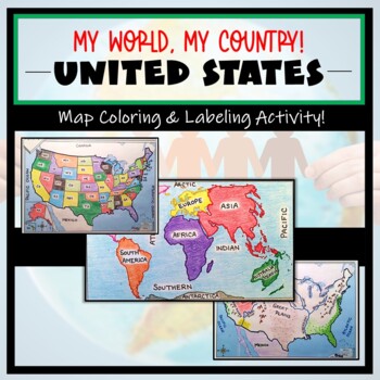
US Maps & Continents and Oceans: "My World, My Country" Label and Color Activity
These coloring and labeling activities are a great way for your learners to understand the basics on World and United States geography! The maps and tasks included primarily focus on learning 1.) the Continents and Oceans, and 2.) the United States politically and physically. This is a creative and engaging way of supplementing lessons on geography, civics, or social studies. Each map concludes with “Fast Facts”, analysis questions, or “I Can” mapping self-assessments. A completed, colored exam
Grades:
3rd - 10th
Types:
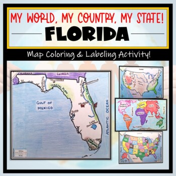
Florida Map Activity- "My World, My Country, My State!" (Label and Color Maps)
This “My World, My Country, My State!” Map Activity is a MUST for students who are learning about their place in the world- literally! This labeling and coloring activity focuses on learning 1.) the Continents and Oceans, 2.) the United States, and 3.) the state of Florida where students will identify cities, physical geography, and landmarks of the region. This is a creative and engaging way of supplementing lessons on geography, civics, or social studies. Each map concludes with “Fast Facts”,
Grades:
3rd - 10th
Types:
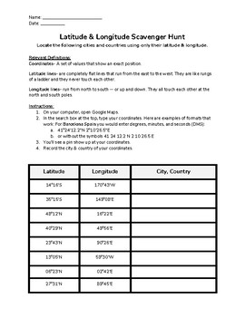
Latitude & Longitude Scavenger Hunt NO-PREP Activity
Review the concepts of geography; including latitude, longitude, and the Earth's coordinate system in a fun, no-prep activity! Designed to be used with Google Maps. Includes an answer key, relevant definitions, and easy to follow directions to help familiarize your students with latitude and longitude! This is the perfect activity for science or social studies classes, aligned with North Carolina State Standards.
Subjects:
Grades:
4th - 12th, Higher Education
Types:
CCSS:
NGSS:
MS-ESS3-2
, MS-ESS3-5
, MS-ESS3-4
Autopsy: Age of Revolutions
The students will be depicting The Age of Revolution through an autopsy project where the students will be drawing a person him/herself or someone from that time period with the themes surrounding the person. For example the causes and effects of Political, Social, Economic, and Cultural issues during the revolutions. Students have autonomy on who they want to draw as long as it adds to the project. This assignment is created to be fun, creative, and most importantly… informative.
Grades:
4th - 12th, Higher Education, Adult Education, Staff
Types:
Autopsy: The New World
Autopsy Project: The New World. his is a week activity where the students will show off a variety of skills like, drawing, research, writing, etc. while working with their peers. This a fantastic activity to have the students take ownership and be super creative.
Grades:
1st - 12th, Higher Education, Adult Education
Types:
CRACK THE CODE: Decipher & Unlock an Unknown Language
CRACK THE CODE is a fun way to experience what archaeologists or linguists go through as they attempt to decipher and decode unknown languages of the past. Like a cryptogram, have students use the letter frequency chart and the common tendencies of the English language, to crack the code and decipher this very important message! I like to use this for my history class to help students understand the difficulties that historians face in discovering an unknown language. You could also use it as
Grades:
4th - 12th
Types:
CCSS:
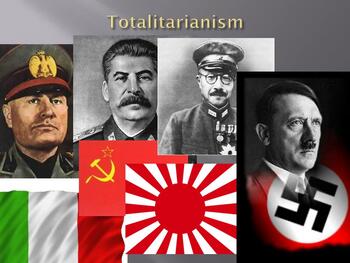
Autopsy: Totalitarianism State (1919-1939)
In the broadest sense, totalitarianism is characterized by strong central rule that attempts to control and direct all aspects of individual life through coercion and repression. The students will be depicting this through an autopsy project where the students will be drawing a person him/herself or someone from that time period with the themes surrounding the person. For example the causes and effects of Political, Social, Economic, and Cultural issues during the content theme. Students have a
Grades:
PreK - 12th, Higher Education, Adult Education, Staff
Types:
BEOWULF - (ALL 4 PARTS) visual, textual, interactive 50-slide PPT
This download includes ALL 4 PARTS of the unit described belowThis unit discusses the influences on Beowulf, the plot and characters of Beowulf, the themes and symbols of Beowulf, and the influences of Beowulf on later stories. There are primary sources, secondary sources, pictures, graphics, graphic organizers, links to video clips on YouTube, and much more. The 4 parts can be taught independently, or together as a unit. Enjoy!PART 1: WORKS THAT INFLUENCED BEOWULF (10 slides), including: bac
Grades:
4th - 12th
CCSS:
Showing 1-24 of 128 results

