42,595 results
Geography printables
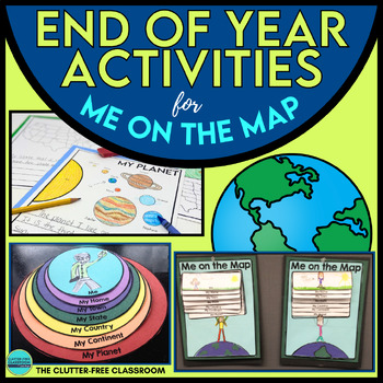
End of the Year Craft Activity Last Week of School Me on the Map Skills Review
Looking for an End of Year Craft Activity to Review Map Skills? Want a Last Week of School Writing Project? This Me on the Map flip book and summer writing pages are perfect for 1st, 2nd, 3rd or 4th grade students!This Maps and Globes activities pack has 8600+ POSITIVE REVIEWS and is the original & most highly-rated Me on the Map Project Activity Bundle on TpT. Teach map skills with crafts, printable worksheets, flip books & a nesting circle craftivity for the book by Joan Sweeney.It wil
Subjects:
Grades:
1st - 5th
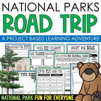
National Parks Research Road Trip PBL Project Based Learning Writing Math
Do you love our National Parks and want to find a way to integrate reading, writing, math, critical thinking, and problem-solving skills in a fun, real-life context into your lessons? Consider using project-based learning in your classroom! In this PBL unit, students can plan a road trip to the national parks with their families, while also creating a realistic budget for their vacation.One of the benefits of this project-based learning unit is that it allows for student choice and personalizati
Subjects:
Grades:
3rd - 6th
Types:
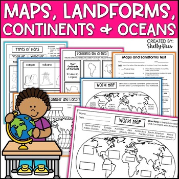
Maps & Globes Continents Oceans Map Skills Worksheet World Map Activity Landform
Interactive Notebooks are a wonderful tool for providing hands-on experiences for learners. This Maps, Continents, and Landforms Interactive Notebook is no exception! The packet is easy to use for both student and teacher. ✅ Click HERE to SAVE 20% on this resource with the Maps, Continents, and Landforms unit and poster bundle!✅ Click HERE to SAVE even more by buying ALL 15 Social Studies Interactive Notebooks and Mini Units in one Year-Long Bundle.Click on the PREVIEW button above to see all t
Grades:
3rd - 5th
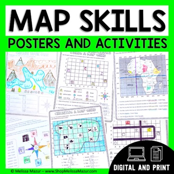
Map Skills Unit - Maps & Globes Activities - Types of Maps
This no-prep map skills unit includes both vocabulary reference posters and activity pages on many different topics. These activities are an engaging way for students to develop their skills and practice reading maps. *UPDATE* You can now share this with your students digitally!This resource was created using Google Slides. You must have a Google email for use. Each section can be assigned in Google Classrooms. It is ideal for distance learning. I also include the print file so you can have a
Grades:
2nd - 4th
Types:
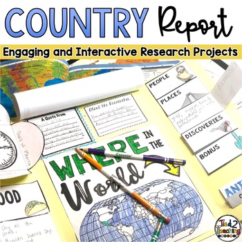
Country Study Report & Country Research Projects Countries Around the World
Are you working on a country study in your classroom? Completing a country research project for one of the many amazing countries around the world can be such a great way to open your students eyes to the diversity of countries, peoples, and cultures around the world. This fun, fresh and engaging country report resource is the perfect DIFFERENTIATED way to meet each student where they are and guide them as they present their research on countries around the world. Complete with 32 countries from
Grades:
2nd - 5th
Types:
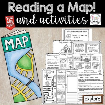
Map Skills- Reading a Map and Activities
✅⭐️Are you studying maps in your primary classroom? If so, then you will love this all inclusive NO PREP set! Not only does it go over cardinal directions and how to read a map, it also reviews parts of a map such as the map key, title, and compass rose. It is a perfect lesson to include in your social studies geography unit!⭐Please know that this resource is a PDF. It is great for distance learning if you are sending home packets or are able to transfer it to Google Slides™ to use in Google Cla
Subjects:
Grades:
K - 5th
Types:
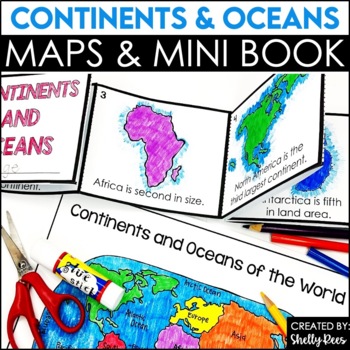
Label Continents and Oceans Activities | Blank World Map Printable 7 Continents
Students LOVE learning about the Continents and Oceans of the World with these fun hands-on activities, including a 7 continents mini-book, blank world map, coloring pages, and even a label continents and oceans quiz. This NO PREP packet is easy for teachers and engaging and hands-on for students!Please click on the preview button above to take a look at everything included.This resource includes:7 Continents Mini-BookColoring Pages/Posters of Each ContinentBlank World MapLabeled World MapPost-U
Subjects:
Grades:
2nd - 5th
Types:
Landforms & Map Skills Unit BUNDLE
Make learning about geography come to life with this landforms and map skills bundle unit for young learners! Your students will have the opportunity to explore the landforms that shape our Earth, as well as beginning map skills. This bundle contains a variety of printables, projects, crafts, and much more. Also available in...Landforms and Map Skills DIGITAL BundleLandforms and Map Skills PRINT & DIGITAL Mega BundleLANDFORMS pack includes:Recommended book list Landforms posters (landform, b
Grades:
1st - 3rd
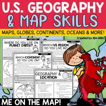
US Geography Map Skills | Maps and Globes, Continents, Oceans, Me on the Map
Do your students struggle with general map skills, their location on a map or globe, or naming our continents and oceans? This popular U.S. geography and map skills packet will help your students master these mapping skills and more with ease. Fun for students and super helpful for teachers!This United States geography and map skills resource provides an easy and fun way for students to develop a better understanding of where they live in the world, as well as key geography skills and concepts.
Subjects:
Grades:
3rd - 5th
Types:
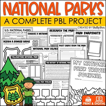
National Parks Research Activities End of Year Project Includes Yellowstone
This Visit a National Park research project will have your students so engaged, they won't want the activity to end! In this unit, students have the opportunity to plan a trip to a National Park, create a road map, write a research article, and so much more! What better way to have students use real-life math, reading, and writing skills than with this fun U.S. National Parks Activity? Now includes nonfiction reading passages and other bonus reading activities!Click HERE to SAVE 25% with the PB
Grades:
3rd - 6th
Types:
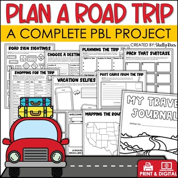
Plan a Road Trip Activities Real World Math Project Travel Brochure Vacation
This real world writing and math Plan a Road Trip project will have your students so engaged, they won't want the activity to end! In this unit, students the have opportunity to plan a trip and persuade others to visit their chosen destination! Now includes a bonus vacation journal and road trip activities!Click HERE to SAVE 25% with the PBL Activities Bundle for the Year!Click the PREVIEW above to see everything included.All of the hard work is done for you. Simply print the NO PREP pages, and
Subjects:
Grades:
3rd - 6th
Types:
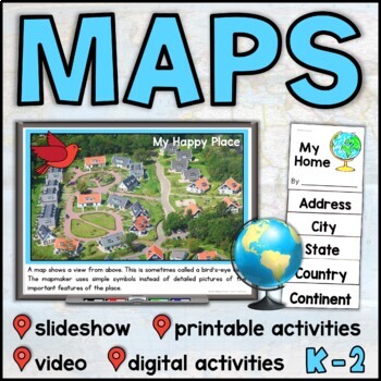
Map Skills Unit with PowerPoint – Me on the Map – Maps and Globes - with Digital
This map skills unit for K-2 has all you need to teach your students about maps and globes. With an informational map skills PowerPoint slideshow (also included in video form), vocabulary resources, printable activities and books, and digital activities for Seesaw and Google Slides, this set will get your little geographers making, reading, and talking all about maps! Perfect to use alongside the read-aloud Me on the Map, this maps unit includes an easy-to-assemble “My Home” booklet with version
Subjects:
Grades:
K - 1st
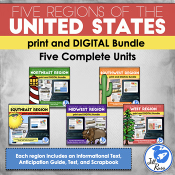
Regions of the United States: 5 Units Print and Digital Bundle Distance Learning
Your students will learn about the Northeast, Southeast, Midwest, Southwest, and West regions of the United States with this bundle of five units.This bundle includes both printable and digital options. If you would like a printable, paper-based unit, check out my Five Regions Unit Bundle, or you can get the digital options only.Each region includes a 6-page informational text packet that can be used as a "textbook chapter" when teaching about the region. While reading the complex text, your stu
Subjects:
Grades:
3rd - 6th
Types:
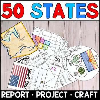
State Report Research Project - Templates for all 50 States
Are your students writing State Reports? This United States research project includes templates for all 50 states, making it easy to assign each student a different state (if desired.) In just one download, teachers can print a project for each state, as well as a common note-taking sheet that guides students through the research. The State Report is only 3 pages in length (giving students the confidence to complete it with excellence) but is packed with information. When done, students have
Subjects:
Grades:
3rd - 5th
Types:
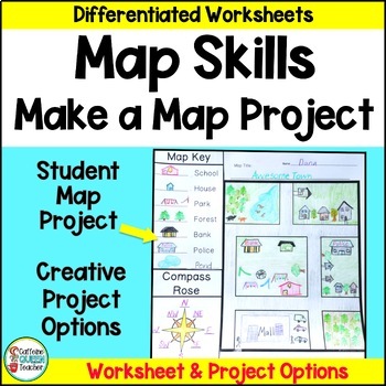
Map Skills Make Your Own Map Project with Map Worksheets and Map Activity
Create your own map using this fun, creative activity to learn about reading maps. Students love designing maps with towns, cities, parks, and islands. They complete practice worksheets and create their maps. This project based learning activity is a hands-on way to interact with maps.You receive:4 map worksheets - becoming progressively more difficult2 compass rose pages for students to complete (choose the level you need)6 different "Make Your Own Map" project pages to choose from3 differentia
Grades:
2nd - 4th
Types:
Trip to Mexico Power Point and Activities Pack | Cinco De Mayo Activities
Have a great time learning about Mexico with this fun Power Point and Activities Pack. Both PowerPoint and Google Slides versions are included. It's the perfect activity during Cinco De Mayo, the last week of school, or for some Friday fun! Your class will be introduced to the geography, language, culture, and food in Mexico. The PowerPoint is packed with colorful, real photos. And a variety of activities are included to help your students reflect on what they've learned. Be sure to read the tip
Subjects:
Grades:
K - 6th
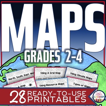
Map Skills Worksheets - Types of Maps, Cardinal Directions, Scale, Reading Maps
This pack of activities for Grades 2 - 4 includes 28 pages of thoughtfully designed printables to engage your students while they practice these basic concepts. You’ll find these ready-to-use pages to be easy to implement and thorough in scope. This resource includes opportunities for your students to acquire information from a variety of maps, to use map elements including the compass rose and scale, and to create their own maps within a defined (and easy to use) set of directions. There’s j
Grades:
2nd - 4th
Types:
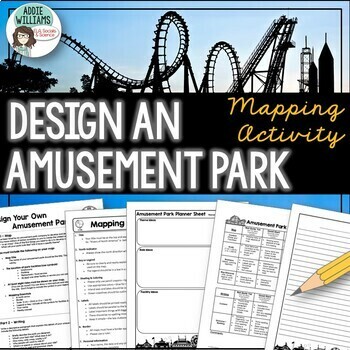
Map Skills - Design Your Own Amusement Park
Review the basics of mapping with this fun and engaging activity! Using map skills learned in class, students must design a map of their own amusement park and include mapping elements such as scale, a legend, symbols, and more! They must also write about and explain their "best" or most amazing ride. This activity has always been one of my students' favorite projects! It's a fun and unique way to wrap up a mapping unit or a fun project for social studies!I encourage the students to pick a them
Subjects:
Grades:
6th - 9th
Types:
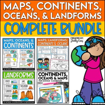
Maps, Continents and Oceans, Landforms, and Map Skills Bundle
This Social Studies bundle includes the best-selling Maps, Continents, and Landforms Interactive Notebook, along the coordinating word wall posters! Students and teachers love the ease of the hands-on printables, worksheets, and digital activities of this complete bundle!By purchasing this bundle, you are saving 20% off the full value of the individual resources.This helpful, easy to use bundle includes:Maps, Continents, Landforms, and Map Skills Interactive Notebook Continents, Oceans, and Maps
Subjects:
Grades:
3rd - 6th
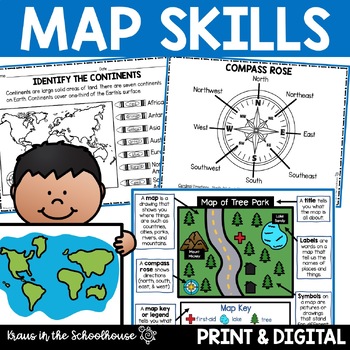
Map Skills Activities and Worksheets Maps Globes Landforms Continents & Oceans
Make learning fun for your students when teaching map skills. Map skills topics include maps, globes, continents, oceans, landforms, water forms, suburban, urban, rural, directions, and more. This resource is perfect for second, third, and fourth grade students. Digital activity included using Easel by TpT.These activities can be used during whole group instruction, independent work, and center time. Easy-to-use activity sheets with clear directions and answer keys are provided.HERE'S WHAT YOU'L
Grades:
2nd - 4th
Types:
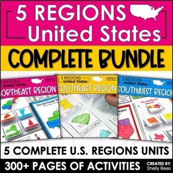
Regions of the United States Worksheets Maps & Activities 5 US Regions
Your students will love learning about the 5 Regions of the United States with this complete bundle. The hands-on approach to learning includes high-interest interactive notebook foldables, map booklet, memory match game, bulletin board, and unit test! Students will master the US Regions in no time at all with this helpful resource!By buying this bundle, you are saving 20% off the total price of the 5 individual packets!Please take a look at the PREVIEW to get a better idea of everything include
Grades:
3rd - 6th
Types:
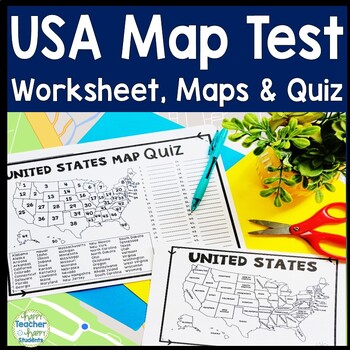
United States Map Quiz & Worksheet, USA Map Test w/ Practice Sheet, US Map Quiz
United States Map Test: Easy-to-read US Map Quiz and Practice Sheet will help students learn to correctly identify and locate all 50 states. This product also includes a labeled USA Map in full & half-page design and blank USA map for practice. Learning how to correctly identify all 50 states on a map of the United States is a critical skill for students of all ages.US Map Quiz (US Map Test) is ready to print-and-go to test knowledge of the USA Map and 50 states. This map of the United State
Grades:
2nd - 8th
Types:
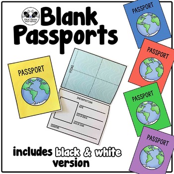
Blank Passport Template
Your students can travel around the world (or the classroom!) with these blank passports. Each passport template prints on one page and is folded to create a booklet with a cover, information page, visa / stamp page, and backing.
♢ Generic, non-country specific
♢ 5 cover colors: yellow, blue, rust, green, purple
♢ Black & white version included
♢ PDF format
You might also like:
Classroom Passport Stamps
Case File Stamps
Thank you for stopping by my store! I appreciate all comments and
Subjects:
Grades:
Not Grade Specific
Types:
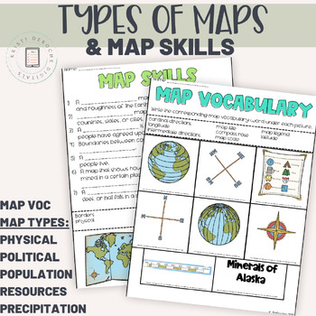
Types of Maps and Map Skills Pack | Social Studies grades 2-5 | Back to School
This packet of worksheets is a great introduction to map skills as reading a variety of maps! Students will learn to read a Population map, precipitation map, political map, natural resource map, and a physical map. Perfect for a back to school review!Worksheets included:Map Vocabulary Matching WorksheetMap Skills Fill in the BlankPhysical MapPopulation MapPolitical MapNatural Resource MapPrecipitation MapAnswer KeyIf you are looking for an interactive digital version of this product using googl
Subjects:
Grades:
3rd - 5th
Showing 1-24 of 42,595 results


