651 results
Geography microsofts on sale
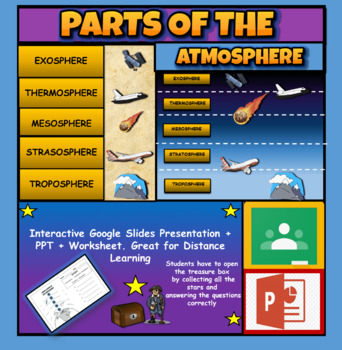
Layers Of The Atmosphere: Interactive Google Slides + PPT Version + Worksheet
Layers Of The Atmosphere: Interactive Google Slides + PPT + Worksheet (Distance Learning)Interactive presentation & quiz on Layers of the atmosphere. Please view the powerpoint previewINTERACTIVE GOOGLE SLIDES/POWER POINT PRESENTATION on layers of the atmosphere. It can be used for distance learning and google classroom or within the classroom.Once downloaded: Please view the GOOGLE SLIDES/POWERPOINT IN 'PRESENT ▶️' modeWorksheet also included in ZIP file 'Parts of the atmosphere' .These are
Subjects:
Grades:
3rd - 8th
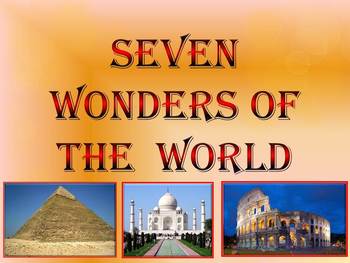
Seven Wonders of the Ancient World & New 7 Wonders Interactive
This is a beautiful and informative 23 slide PowerPoint presentation (+ 23 PDF). This is a super fun slide show. I've given you 20 files to look at in the Download Preview.The zip file contains: 1. PowerPoint presentation 2. PDF (23 pages) Seven Wonders of the Ancient World: 1.Great Pyramid of Giza 2. Hanging Gardens of Babylon 3. Temple of Artemis 4.Statue of Zeus at Olympia 5. Mausoleum at Halicarnassus 6. Colossus of Rhodes 7.Lighthouse of Alexandria New 7 Wonders of the World: 1. Gr
Subjects:
Grades:
K - 12th
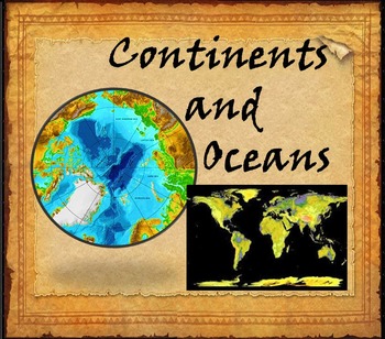
Continents and Oceans Interactive PowerPoint Game Continents Social Studies
Continents and Oceans - 7 Continents & 5 Oceans - Mountains - Rivers - Interactive PowerPoint GameThis is a beautiful and informative 45 slide PowerPoint presentation. This is a super fun and interactive slide show.* Continents * Asia* Top 5 highest mountains in Asia* The Five Largest Rivers of Asia* Africa* The Top 5 Highest Mountains In Africa*The Five Largest Rivers of Africa* North America* The Top 5 Highest Mountains in North America* The Five Largest Rivers of North America * So
Subjects:
Grades:
2nd - 8th
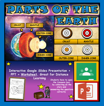
Layers and Parts of the Earth Powerpoint: Crust | Mantle | Inner and Outer Core
Layers of the Earth: Parts Of The Earth Interactive Google Slides + Powerpoint + Printable WorksheetInteractive presentation & quiz on parts of the Earth. Please view the video and PDF preview to get a better understanding of this product.INTERACTIVE GOOGLE SLIDES/POWER POINT PRESENTATION on layers of the Earth. It can be used for distance learning and google classroom or within the classroom.Once downloaded: Please view the GOOGLE SLIDES/POWERPOINT IN 'PRESENT ▶️' modeWorksheet also include
Subjects:
Grades:
3rd - 6th
Types:
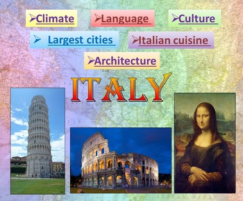
Italy | PowerPoint Presentation | Quiz distance learning (country study)
Italy PowerPoint Presentation Quiz, Art, Culture, Sights and FoodPowerpoint to introduce geographical / cultural / government information of Italy. Awesome as a visual to students.This download now comes with the slideshow in BOTH a PowerPoint and PDF version. Italy - Quiz - Climate - Culture - Language - Architecture - Largest cities - Italian cuisine - Interactive slide showThis is a beautiful and informative 54 slide PowerPoint presentation.This is a super fun slide show. I've given you 4 sli
Grades:
K - 10th
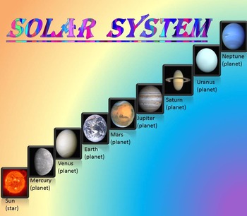
Solar System | Planets | PowerPoint | The Sun | The Moon | Distance Learning
Solar System | Space Quiz | Earth's orbit | Planet ActivitiesThe zip file contains:Solar System - Interactive slide show- inner planets: Mercury, Venus, Earth, and Mars; - outer planets: Jupiter, Saturn, Uranus, Neptune;- Earth's orbit- The Sun- The Moon - Space Quiz- AnswersThis is a beautiful and informative 30 slide PowerPoint presentation and 22 pages PDF.I've given you 4 slides to look at in the Download Preview – take a look! AstronomyPlease note that this package is also part of the bu
Subjects:
Grades:
PreK - 8th
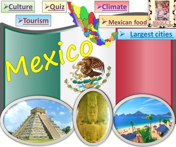
Mexico All About Mexico PowerPoint Presentation distance learning
Mexico: An Introduction to the Climate, Religion, Economy, Culture, Sport and FoodPowerPoint - Interactive slide showThe zip file contains: 2 products - PowerPoint presentation (50 slides)- PDF (50 pages )This is a beautiful and informative PowerPoint presentation.This is a super fun slide show. *Quiz*Government and politics*Administrative divisions*History*Largest cities Mexico CityGuadalajara MonterreyPuebla*Religion*Languages*Climate*Economy*Culture- UNESCO*TourismChichen ItzaTulumPalacio de
Grades:
1st - 9th
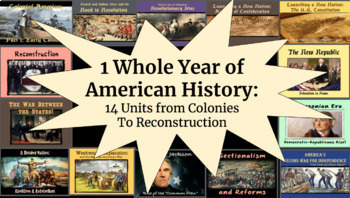
1 WHOLE YEAR of American History: Colonies to Reconstruction
Important: Please see the preview for an inventory of all products within the bundle, as well as which unit they belong to. With 100+ products within this bundle, this is the best way to keep organized!This bundle features a whole year's worth of PPT slideshows, notes packets, graphic organizers, maps, assignments, primary sources, activities, tests, etc. combined into an entire year-long package (in preparation for end-of-year testing). These include:Beginning of the Year U.S. Geography Project
Grades:
7th - 10th
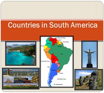
South America Countries PowerPoint Brazil Chile Argentina Ecuador distance learn
South America Political map Countries PowerPoint presentation Geography The zip file contains: 2 products - PowerPoint presentation (18 slides)- PDF - 18 cards (Countries ; Area; Population) - Argentina- Bolivia- Brazil- Chile- Colombia- Ecuador- Falkland Islands - French Guiana- Guyana- Paraguay- Peru- South Georgia and the South Sandwich Islands- Suriname- Trinidad and Tobago- Uruguay- VenezuelaI've given you 4 slides to look at in the Download Preview – take a look! ***********************
Subjects:
Grades:
PreK - 12th
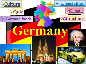
Germany PowerPoint Presentation distance learning
This is a beautiful and informative 60 slide PowerPoint presentation.This is a super fun slide show. Germany - Quiz - Climate - Culture - Largest cities - German food - Interactive slide showIncludes:* Geography * Quiz* German Flag ; Coat * Governance* ClimateLargest German companies German Rivers* Economy * Largest cities BerlinMunichCologneFrankfurtStuttgart* Nobel prize Albert EinsteinGustav Hertz* CultureJohann Sebastian BachGeorge Frideric HandelRichard WagnerJohann Wolfgang von GoetheFried
Grades:
K - 10th
Landform Digital Activities for Google and Seesaw + FREE Spanish
Engage your students with these interactive landform activities. This digital landform unit includes 12 illustrated vocabulary terms with kid-friendly definitions, 4 informational nonfiction texts and a variety of interactive activities. It is available in PowerPoint, Google Slides and in Seesaw. It has been preloaded into Google Drive for teachers who use Google Apps or Google Classroom. It has also been preloaded into Seesaw as an interactive activity. You can use it on any device with these s
Subjects:
Grades:
K - 2nd
Also included in: Social Studies Activities for Google and Seesaw Bundle + FREE Spanish
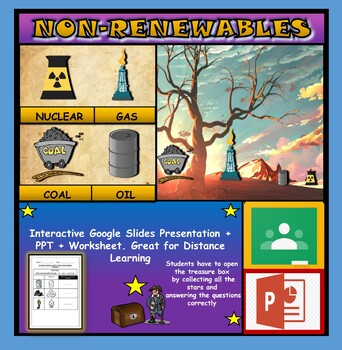
Non-Renewable Energy Sources: Interactive Google Slides + PPT + Worksheet
Non-Renewable Energy Sources: Interactive Google Slides + PPT + Worksheet (Distance Learning)Interactive presentation & quiz on non-renewable energy sources. Please view the powerpoint previewINTERACTIVE GOOGLE SLIDES/POWER POINT PRESENTATION on non-renewable energy resources. It can be used for distance learning and google classroom or within the classroom.Once downloaded: Please view the GOOGLE SLIDES/POWERPOINT IN 'PRESENT ▶️' modeWorksheet also included in ZIP file 'Non-renewable energy
Subjects:
Grades:
1st - 7th
Types:
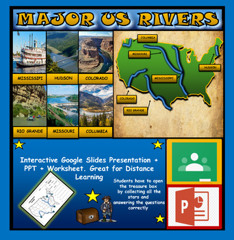
The US Major Rivers : Google Slides. Mississippi. Colorado. Hudson + Worksheets
The US Major Rivers : Google Slides, Distance Learning + Powerpoint Version + Worksheets. Interactive presentation & quiz on US major rivers. Please view the video previewINTERACTIVE GOOGLE SLIDES/POWER POINT PRESENTATION on The US major rivers. It can be used for distance learning and google classroom or on a interactive smartboard in the classroom.Once downloaded: Please view the GOOGLE SLIDES/POWERPOINT IN 'PRESENT ▶️' modeWorksheet also included in ZIP file 'Label the US rivers'. This is
Subjects:
Grades:
2nd - 7th
Also included in: U.S.A Geography Bundle: Google Slides Presentations + PPT's + Worksheets
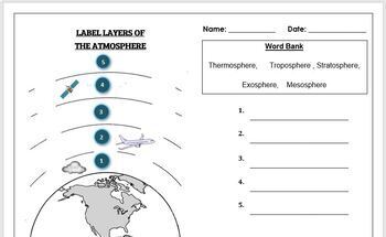
Earth Science Worksheet: Label the layers of the Atmosphere
Earth Science Worksheet: Label the layers of the atmosphereStudents have to label the layers of the atmosphere by looking at the numbers Students can color in the worksheet once they are doneWorksheet aimed at primary level/ high school levelAnswer key included on page 2
Subjects:
Grades:
K - 8th
Types:
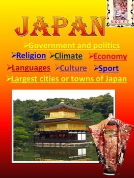
Japan Power Point Presentation | distance learning
Japan Power Point Presentation Climate Religion Economy Culture SportJAPAN POWERPOINT This is a beautiful and informative 44 slide PowerPoint presentation.Japan PowerPoint - Japan Activity - Quiz - Climate - Religion - Economy - Culture. This is a super fun slide show. I've given you 8 pages to look at in the Download Preview.The zip file contains: 2 products - PowerPoint presentation (44 slides)- PDF (42 pages )Iconic Japan, Japanese, Photos, Images, Culture, Society, Japanese cherry blossoms,
Subjects:
Grades:
1st - 10th
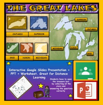
The Great Lakes: Interactive Google Slides, Distance Learning + PPT + Worksheet
The Great Lakes: Interactive Google Slides + PPT + Worksheet (DL)Interactive presentation & quiz on The Great Lakes of Northern America. Please view the powerpoint previewINTERACTIVE GOOGLE SLIDES/POWER POINT PRESENTATION on the five great lakes . It can be used for distance learning and google classroom or within the classroom.Once downloaded: Please view the GOOGLE SLIDES/POWERPOINT IN 'PRESENT ▶️' modeWorksheet also included in ZIP file 'Label the great lakes' .This is a word files.docx a
Grades:
2nd - 8th
Also included in: U.S.A Geography Bundle: Google Slides Presentations + PPT's + Worksheets
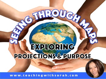
Seeing Through Maps: Understanding Projections and Purpose
This is an introductory lesson that will have students critically explore the concepts of map projections and its' purposes. Students will come to see how there are multiple ways from which to view the Earth. Students will delve further into analyzing two maps: Mercator & Peters. Video clips are embedded within the PPT that will further help students grasp & understand important concepts. A fun & context based assessment is included which will have students analyze a variety of maps
Subjects:
Grades:
5th - 7th
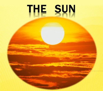
Sun Solar eclipse Science PowerPoint presentation Astronomy distance learning
Sun Solar eclipse Science PowerPoint presentation AstronomyThis is a beautiful and informative 20 slide PowerPoint presentation.-The Sun is the star at the center of the Solar System-The structure of the Sun-Life cycle of the sun-Solar eclipseI've given you 3 slides to look at in the Download Preview – take a look!*********************************************************** -Solar System- / 3 в 1 / ***********************************************************Check out some of my other science po
Subjects:
Grades:
K - 10th
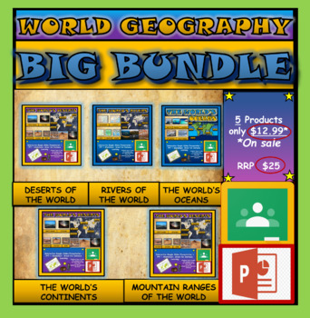
World Geography Bundle: Google Slides Presentations + PPT's + Worksheets
World Geography Bundle: Google Slides Presentations + PPT's + Worksheets5 Products included in this bundle covering several main topics regarding World GeographyPlease watch the preview video of 'The World's Oceans' before purchasing this bundle - to understand the depth of content, the quality and interactivity of these presentations. All presentation follow the same layout and have good quality design.Google Slides/PPT Presentations included in this bundle:Mountain Ranges Of The WorldRivers Of
Subjects:
Grades:
3rd - 8th
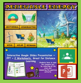
Renewable Energy Sources: Interactive Google Slides + PPT + 2 Worksheets
Renewable Energy Sources: Interactive Google Slides + PPT + 2 Worksheets (DL)Interactive presentation & quiz on Renewable Energy sources. Please view the powerpoint previewINTERACTIVE GOOGLE SLIDES/POWER POINT PRESENTATION on renewable energy resources. It can be used for distance learning and google classroom or within the classroom.Once downloaded: Please view the GOOGLE SLIDES/POWERPOINT IN 'PRESENT ▶️' mode2 Worksheets also included in ZIP file 'Renewable energy sources' and 'Renewable e
Subjects:
Grades:
1st - 6th
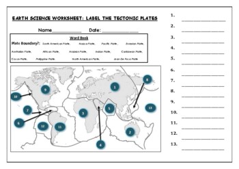
Earth Science worksheets: Label the tectonic plates
Earth Science worksheets: Label the tectonic platesStudents have to identify and label the major tectonic plates Word bank providedWorksheet aimed at higher elementary science lebel
Subjects:
Grades:
3rd - 8th
Types:
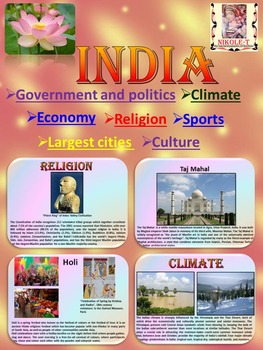
India Geography and History PowerPoint Presentation distance learning
INDIA GEOGRAPHY AND HISTORY POWERPOINT PRESENTATIONThis 37 slide presentation provides an overview of India's geography, history, government, economy and culture.The zip file contains: 2 products - PowerPoint Presentation (37 slides)- PDF (36 pages )This is a beautiful and informative 37 slide PowerPoint presentation.This is a super fun slide show. I've given you 9 pages to look at in the Download Preview.* Government and politics* Administrative divisions* Largest cities - Mumbai - New Delhi -
Grades:
1st - 9th
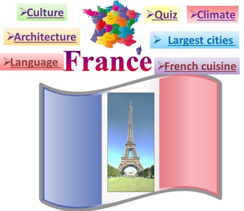
France PowerPoint presentation Quiz distance learning
This is a beautiful and informative 42 slide PowerPoint presentation.This is a super fun slide show. I've given you 4 slides to look at in the Download Preview.Includes:* Geography * Quiz* Flag* Climate* Language * Economy* Architecture Louvre Eiffel Tower Arc de Triomphe Palace of Versailles Disneyland Paris* Largest cities Paris Marseille Lyon Toulouse Nice French Riviera Grenoble* Culture* French cuisine***********************************************************Check out some of
Grades:
PreK - 10th
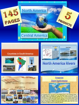
North America South America United States Canada Mexico distance learning
North America South America BUNDLE: 145 pages - Interactive slide showThe zip file contains: 5 products- PPT1.North America- Central AmericaGeography- political map of North AmericaThis is a beautiful and informative 51 slide PowerPoint presentation.*North America- United States- Canada- Greenland- Mexico*Central America- Belize- Costa Rica- El Salvador- Guatemala- Honduras- Nicaragua- Panama*** North America- PowerPoint presentation*************************************************2. North Ameri
Subjects:
Grades:
K - 10th
Showing 1-24 of 651 results


