1,747 results
Geography resources for staff under $5
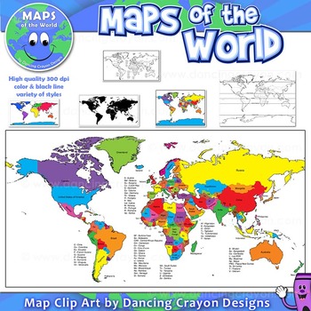
Maps of the World: Clip Art World Maps
Maps of the World: Clip Art World Maps
High quality color and black and white maps of the world.
This clipart map set contains the following commercial use graphics:
- Color maps of the world
- Black and white line art maps of the world
- Maps of the world with lines of latitude and without lines of latitude
- Maps of the world with larger countries labelled (color and black and white)
- Silhouette maps of the world
- A map of the world showing seven continents in color and black and white:
Grades:
3rd - 12th, Higher Education, Adult Education, Staff
Also included in: Maps of the World Clip Art - MEGA-BUNDLE
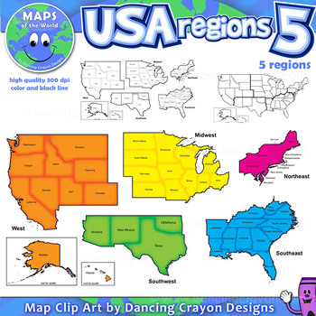
Regions of the USA: Five Regions - Map Clip Art
Regions of the USA: Five Regions - Map Clip Art
.............................................................................................
Please check the regions in this set before purchase. We offer a choice of THREE different US Region Map Sets:
USA divided into FOUR regions / NINE divisions (as set out by the United States Census Bureau)
USA divided into FOUR regions / TEN divisions (as taught in some states)
Please read on for more information about THIS region set:
............
Grades:
3rd - 12th, Staff
Also included in: Maps of the World Clip Art - MEGA-BUNDLE
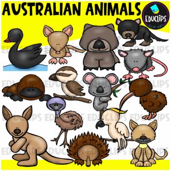
Australian Animals Clip Art Set {Educlips Clipart}
This set contains all of the images shown: animals found in Australia - bandicoot, black swan, cockatoo, dingo, echidna, emu, kangaroo, kiwi, koala, kookaburra, platypus, possum, tasmanian devil, wombat.14 images in color and the same 14 images in B&W.Images saved at 300dpi in PNG files.For personal or commercial use.CLICK HERE for TERMS OF USEThis is a zip file. Before purchasing, please check that you are able to open zip files and ensure that your zip opening software is updated.©Educlips
Subjects:
Grades:
PreK - 6th, Staff
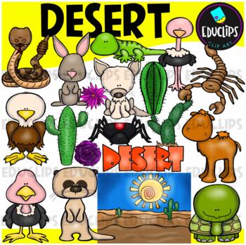
Desert Clip Art Set {Educlips Clipart}
A collection of desert and desert animal images. The graphics in this pack are: black widow spider, cactus plants, camel, desert background, desert rose, eagle, tortoise, fennec fox, gekko, jackrabbit, meerkat, ostrich, rattlesnake, scorpion, vulture, word art.38 images (19 in color and the same 19 in B&W)Images saved at 300dpi in PNG files.For personal and commercial use..Download preview for TOU.©Educlips LLC 2014Follow Educlips on FacebookFollow Educlips on InstagramKeywords: desert, biom
Grades:
PreK - 12th, Staff
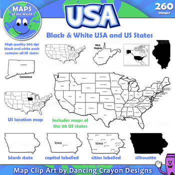
Maps of the USA and US States: Black and White Bundle
A practical set containing our black and white USA maps and US States maps.
260 images of the USA and individual US states in black and white line art. Perfect for creating worksheets and printables.
If you are looking for both color and black and white please see our USA maps bundle:
Click here for USA Map Bundle.
This clipart map set contains the following commercial use graphics:
- Black and white line art maps of all 50 US states in the following styles:
- Blank
- capi
Grades:
3rd - 12th, Staff
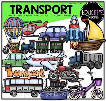
Transport Clip Art Bundle {Educlips Clipart}
This is a set of transport graphics. The images in this set are: hot air balloon, helicopter, minivan, rocket, sailboat, scooter, train, car, plane, truck, bus, ship, motorcycle, bicycle and word art sign.
This set contains all of the images shown.
30 images. (15 color images and the same 15 in B&W).
Images saved at 300dpi in PNG files.
For personal or commercial use.
Download Preview for TOU.
This is a ZIP file. Before purchasing, please check that you are able to open zip files and ens
Subjects:
Grades:
PreK - 6th, Staff
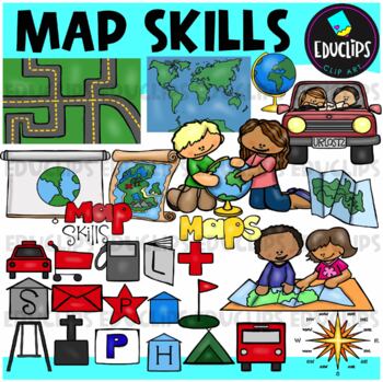
Map Skills Clip Art Set {Educlips Clipart}
This set contains all of the images shown: children looking at maps, globe, different types of maps, map symbols (these files are all labeled) - parking, bus stop, playground, camping area, police station, golf course, post office, hospital, hotel, house, school, gas station, shopping area, library, taxi stand, place of worship.28 images in color and the same 28 images in B&W.Images saved at 300dpi in PNG files.For personal or commercial use.Download preview to see images in more detail and
Subjects:
Grades:
PreK - 6th, Staff
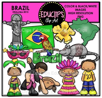
Brazil Clip Art Bundle {Educlips Clipart}
This collection contains all of the images shown: Brazil map, Christ The Redeemer statue, flag, ipe amerelo flower, armadillo, parrot, samba dancing, carnival boy and girl, mask and Brazilian soccer player.
24 images (12 color images and the same 12 in B&W)
Images saved at 300dpi in PNG files.
For personal or commercial use.
Download preview for TOU.
This is a zip file. Before purchasing, please check that you are able to open zip files and ensure that your zip opening software is update
Subjects:
Grades:
PreK - 6th, Staff
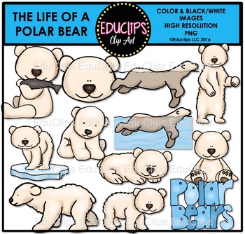
The Life Of A Polar Bear Clip Art Bundle {Educlips Clipart}
This is a set of images connected with The Life Of A Polar Bear
The images included in this set are: polar bears, eating fish, swimming, standing, on ice, sleeping, sitting, walking, standing, cub, polar bear head and polar bear sign.
This set contains all of the images shown.
The collection includes both color and black & white images.
Images saved at 300dpi in PNG files.
For personal and commercial use..
CLICK HERE for TERMS OF USE
©Educlips LLC 2014
Follow Educlips on Facebook
Follow
Subjects:
Grades:
PreK - 5th, Staff
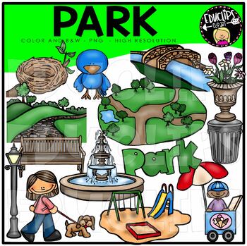
Park Clip Art Bundle {Educlips Clipart}
This is a set of images connected with items found in a Park The images included in this set are: bird nest, bridge, cobblestone path, flowers,fountain, garbage can, ice cream seller, park bench, park background, park sign, play area, street lamp, walking dagThis set contains all of the images shown: 28 images. (14 images in color and the same 14 in B&W.)Images saved at 300dpi in PNG files.For personal or commercial use.CLICK HERE for TERMS OF USEThis is a zip file. Before purchasing, please
Subjects:
Grades:
PreK - 6th, Staff
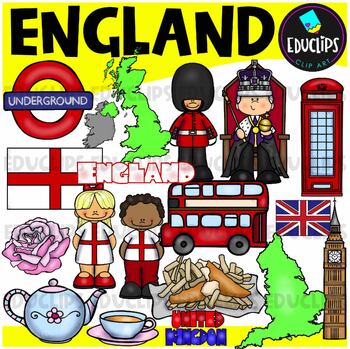
England Clip Art Set {Educlips Clipart}
This is a collection of images connected with England. Images are: England flag, map, boy & girl, Big Ben, telephone box, double decker bus, Queen’s guard, underground icon, English rose, teacup and teapot, fish and chips, word art.This set also contains the UK flag and United Kingdom word art.28 images (14 in color and the same 14 in B&W)**This set is available to purchase as part of the ‘UK & Ireland Mega Bundle’. Do not purchase this if you already purchased the ‘UK & Ireland
Grades:
PreK - 6th, Staff
Also included in: UK & Ireland Clip Art Bundle {Educlips Clipart}
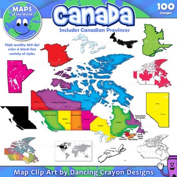
Canada: Clip Art Maps of Canada
Canada: Clip Art Maps
Map Collection: Canada
This is a large clip art set containing maps of Canada along with individual map clip art of each individual Canadian province.
This clipart map set contains the following commercial use graphics:
- Color maps of Canada and each Canadian province
- Labelled maps and blank maps (Provinces labelled with capital cities.)
- Black and white line art maps of Canada and each Canadian province
- Silhouette of the country of Canada and each Can
Grades:
3rd - 12th, Staff
Also included in: Maps of the World Clip Art - MEGA-BUNDLE
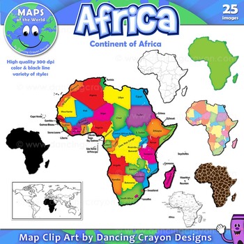
Maps of Africa: Clip Art Map Set
Maps of Africa: Clip Art Map Set
Map Collection: Africa
A colorful clip art set of maps of the African continent.
This clipart map set contains the following commercial use graphics:
- Color maps of Africa (continent)
- Black and white line art maps of Africa (continent)
- Labelled maps and blank maps
- Silhouette of the continent of Africa
- Map of the world with Africa highlighted
- Africa shapes in a variety of styles including giraffe, zebra, and tiger prints.
See pre
Grades:
3rd - 12th, Staff
Also included in: Maps of the World Clip Art - MEGA-BUNDLE
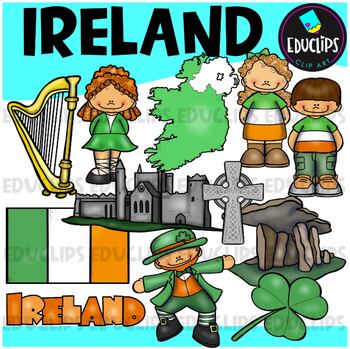
Ireland Clip Art Set {Educlips Clipart}
This is a collection of images connected with Ireland. Images are: Irish boy & girl, shamrock, flag, map (shows northern Ireland in white, which is part of the UK, and Ireland in green), Irish castle, Celtic cross, Irish dancer, leprechaun, Poulnabrone Dolmen monument, harp & word art.24 images (12 in color and the same 12 in B&W)**This set is available to purchase as part of the ‘UK & Ireland Mega Bundle’. Do not purchase this if you already purchased the ‘UK & Ireland Mega
Grades:
PreK - 6th, Staff
Also included in: UK & Ireland Clip Art Bundle {Educlips Clipart}
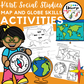
Compass Rose Map and Globe Skills Activity Worksheets
Kindergarten and 1st First Grade Social Studies Worksheets- Map and Globe skillsI have recently updated this product to include more worksheets as well as a colored version of the easel activity. Each activity can be printed in black and white or can be seen in color on Easel. This product currently includes 11 activities:1. Color and label the land and water on a picture of a map and globe.2. Map and Globe Sort- Cut and Paste Flap book Activity (Contains 3 sheets) Sort pictures of maps and glob
Subjects:
Grades:
K - 1st, Staff
Types:
Also included in: 1st Grade GA Social Studies MEGA BUNDLE
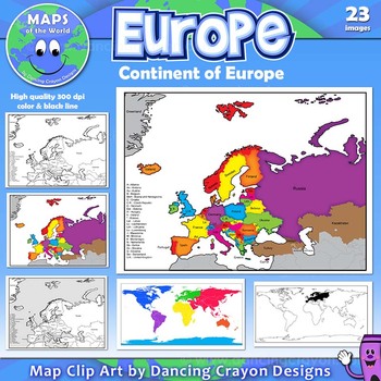
Maps of Europe: Clip Art Map Set
Maps of Europe: Clip Art Map Set
Map Collection: Europe
A colorful map clip art set of the region / continent of Europe.
This clipart map set contains the following commercial use graphics:
- Color maps of Europe in 3 different color styles: bright, pastel, and old style colors
- Black and white line art maps of Europe
- Maps of Europe with countries labelled and without (blank)
- Map of the world with Europe highlighted
Please download the preview to view the complete contents.
H
Grades:
3rd - 12th, Staff
Also included in: Maps of the World Clip Art - MEGA-BUNDLE
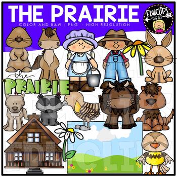
The Prairie Clip Art Bundle {Educlips Clipart}
This is a set of images connected with The Prairie* This set has been completely updated. The older version is also included in this bundle.The images included in this set are: This bundle contains both COLOR AND BLACK & WHITE versions of each image shown: house, boy/farmer, dog, girl, coyote, meadowlark, badger, horse, jackrabbit, prairie chicken, prairie dog, buffalo and prairie sign. background.This set contains all of the images shown.26 images saved at 300dpi in PNG files.For personal a
Grades:
PreK - 5th, Staff
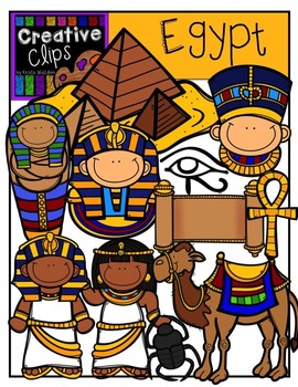
Egypt {Creative Clips Digital Clipart}
This 31-image set is full of Egyptian-themed kids, artifacts, and more! Included are 17 vibrant colored versions and 14 black and white versions.
Images include:
- Egyptian kids
- pyramid
- ankh cross
- camel
- Egyptian eye
- mask
- Nefertiti
- scarab beetle
- scroll
- mummy case
- Egypt country image (not shown in preview)
- Egyptian flag (not shown in preview)
**This set is included in my WORLD GRAPHICS TRIP bundle. If you are interested in 10 different country-themed sets, please check out
Subjects:
Grades:
PreK - 12th, Staff
Map Print Bulletin Board Letters
There's so much you can do with this 70 piece Map Letter Clip Art Set - both digitally and in print form! They are perfect for bulletin board letters! Perfect for social studies and history classes! They're also great to liven up any resources you might create!Included in the download are:* 26 capital letter images* 26 lower case letter images* 10 number images* 8 symbol imagesAll 70 images are 300 dpi / on transparent background so you can resize them any way you'd like without losing clarity!T
Grades:
Staff, Not Grade Specific
Also included in: Bulletin Board Letters Growing Bundle
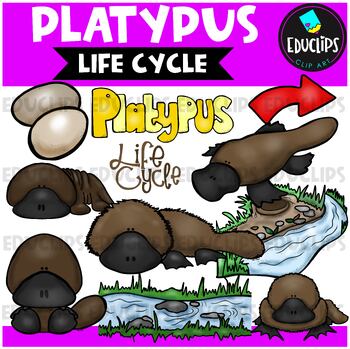
Platypus Life Cycle Clip Art Set {Educlips Clipart}
This is a set of images connected with Platypus Life CycleThe images included in this set are: Eggs, Platypus baby 2, Platypus baby 1, Life cycle sign, Platypus swimming, Platypus, Platypus 1, Platypus 2, River, Burrow, Arrow.This collection contains 22 images. 11 color images (as shown) and the same 11 in B&W. Images saved at 300dpi in PNG files.For personal or commercial use.CLICK HERE for TERMS OF USE©Educlips LLC 2014Follow Educlips on FacebookFollow Educlips on InstagramKeywords: clipar
Subjects:
Grades:
PreK - 6th, Staff
Also included in: Life Cycles Clip Art Ultra Bundle {Educlips Clipart}
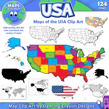
Maps of the USA: Clip Art Map Set
A large collection of clip art maps of the USA! 124 images!
The set includes a variety of styles from bright and colorful to black and white line art. Both labelled and blank. Perfect for creating projects and worksheets.
This clipart map set contains the following commercial use graphics:
- Black and white line art maps of the United States of America
- Colorful clip art maps of the USA
- Blank and labelled maps
- Silhouettes of the USA
- Maps of the world showing the
Grades:
3rd - 12th, Staff
Also included in: Maps of the World Clip Art - MEGA-BUNDLE
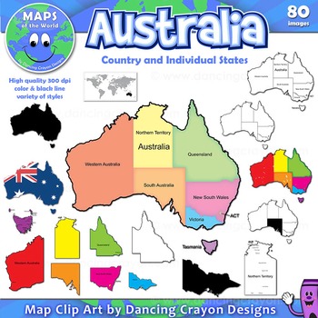
Maps of Australia and Australian States
A colorful collection of clip art maps of Australia, including individual Australian states.
The set includes both color and black and white line art. Both labelled and blank. Perfect for creating projects and worksheets.
This clipart map set contains the following commercial use graphics:
- Color maps of Australia in a variety of colors and styles - labelled and blank
- Color maps of Australian states - labelled and blank
- Black and white line art maps of Australia and Aust
Grades:
3rd - 12th, Staff
Also included in: Maps of the World Clip Art - MEGA-BUNDLE
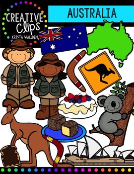
Australia {Creative Clips Digital Clipart}
This 28-image set if full of iconic foods and landmarks of Australia! Included are 16 vibrant colored versions and 12 black and white versions.
Images include:
- boy
- girl
- Australia country
- flag
- boomerang
- kangaroo
- kangaroo crossing sign
- koala
- lamingtons
- pavlova
- Sydney Opera House
- vegemite toast
**This set is included in my WORLD GRAPHICS TRIP bundle. If you are interested in 10 different country-themed sets, please check out that listing before purchasing this!**
https://
Grades:
PreK - 12th, Staff
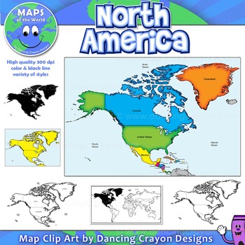
North America Continent Maps: Clip Art Map Set
North America Continent Maps: Clip Art Map Set
Map Collection: North American Continent
A set of clip art maps of North America. Note: These maps show the entire region of North America and do not contain individual country maps.
This clipart map set contains the following commercial use graphics:
- Color maps of North America
- Labelled maps and blank maps
- Black and white line art maps of North America
- Silhouette of the North American continent
- Map of the world hig
Grades:
PreK - 12th, Higher Education, Adult Education, Staff
Also included in: Maps of the World Clip Art - MEGA-BUNDLE
Showing 1-24 of 1,747 results


