81 results
Geography resources for Microsoft PowerPoint and by TpT sellers for TpT sellers

Canadian Government Powerpoint Presentation 94 Slides Social Studies Unit
Canadian Government Powerpoint Presentation 58 Slides.Are you teaching Canadian Government? This powerpoint includes:1) What is Canadian Government?2) Prime Minister Trudeau3) Governor General4) Three Levels of Government Municipal, Provincial, Federal5) Identify the three levels of government.6) Identify the Provincial Flags and Provincial Premiers.7) Canadian Government System - Judicial Process, Senate, etc.8) Ontario Legislative Building9) Parliament Buildings.10) List of Canadian Prime Min
Subjects:
Grades:
4th - 7th

Ocean World Under the Water Sea Lesson PowerPoint Slides for 1st 2nd 3rd
Ocean World Under the Water Sea Lesson PowerPoint Slides for 1st 2nd 3rdThis pack contains:Lesson about All about ;What ‘s the Ocean?Fun Facts About the OceanTypes of OceanLayer of OceanOcean Animals10 Quiz Game with Answer keyTotal 62 slide pagesIf you have any problems with these resources , please contact me .Please kindly to give a feedback and you earn credit❤️Log in to your Teachers Pay Teachers account. ❤️Click on the drop down menu “My TpT”.❤️Select “My Purchases”. ❤️Choose ratings an
Subjects:
Grades:
1st - 3rd, Staff
Maps and the Earth - Social Studies - An Interactive PowerPoint presentation
This powerpoint begins as a review of the differences between globes and maps, identifies the hemispheres, and shows the locations of continents on a world map. The second part of the powerpoint is a "pop quiz" with questions about the material reviewed as well as a "guess the continent shape" section. As with most of my powerpoints, it is filled with colorful slides and vivid graphics.
There is an abbreviated version of the PowerPoint available for free download so that you can get a better i
Subjects:
Grades:
2nd - 3rd
Animals of Africa and Fun Facts
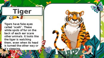
Animals of Africa and Fun Facts - colorful, bright, and interesting slides that share animal images and animal fun facts. *See video preview.You can make it part of a lesson or use it as a fun distraction any time.
Subjects:
Grades:
PreK - 2nd
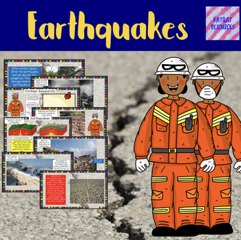
Earthquakes - No Prep Lesson
Product DescriptionNeed to teach an important lesson on earthquakes? This is for you! Lesson objective: To be able to understand what an earthquake is.What are the effects of an earthquake?Aftershocks.Further research.What is an earthquake?Seismometers and the Richter scale.Knowledge harvest.Divergent and convergent boundaries (brief overview).Effects of earthquakes on a town.Earthquakes and the rock cycle.Tsunamis.Recent earthquake effects on land.Lots of opportunities for discussion.No prep -
Subjects:
Grades:
2nd - 7th
The Great Quiz of China
Why not complete a study with your class on all things China?Look at the history, geography, language, culture, food, traditions, clothes, inventions, famous peopleEach student could complete a project of their own or work in a group or paired settingThen to finish the month off your class could complete this quiz in teams or on their own Check out my Chinese New Year powerpoint and bookmarks to learn all about the zodiac, animals which represent the 12 months, etcThe pack contains everything yo
Subjects:
Grades:
4th - 8th

Holidays Around the World Interactive PowerPoint
Take Flight in this Airplane Simulated PPT that takes students "Around the World" during the month of December. The PPT includes animated airplanes that make it seem like they are actually "flying," equipped with airplane sound effects. This 28-slide slideshow consists of 8 countries: Australia, Mexico, Israel, Thailand, France, Mozambique, Suriname, and the United States (bonus slide about Kwanzaa. Countries were selected to cover the most celebrated holidays in the month of December. Each coun
Grades:
K - 5th
Also included in: December Around the World Bundle
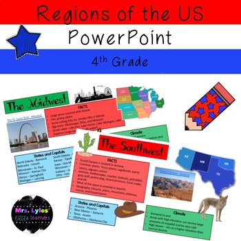
5 Regions of the United States PowerPoint
PowerPoint presentation with hyperlinks on the 5 Regions of the United States.
Follow us on IG: @mrslyleslittlelearners
Grades:
4th - 5th
The Mama Mia Quiz of Italy
Why not complete a study with your class on all things Italy?Look at the history, geography, language, food, famous people and moreEach student could complete a project of their own or work in a group or paired settingThen to finish the month off your class could complete this quiz in teams or on their own Or this quiz could be used as part of a Multicultural themeCheck out my other country packs too, China, Australia and FranceThe pack contains everything you need to host your very own 'Italy'
Subjects:
Grades:
4th - 8th
The Cracking Quiz of Australia
Why not complete a study with your class on all things Australia?Look at the history, geography, native animals, indigenous people, famous people and moreEach student could complete a project of their own or work in a group or paired settingThen to finish the month off your class could complete this quiz in teams or on their own Or this quiz could be used as part of the theme of festivals and celebrations focussing on Australia Day 26th JanuaryCheck out my China Project pack too!The pack contain
Grades:
4th - 8th
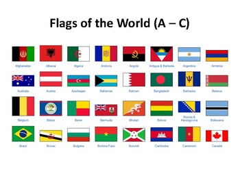
Flags of All The Countries In the World: Printable File
Get a printable copy of all the flags in the world.
Subjects:
Grades:
PreK - 3rd
Geography Basics: Maps and Globes
Students will learn the similarities and differences between maps and globes. Students will be able to explain and label the part of a map. Students will understand how to locate places in the world and how distortion can affect maps and globes.
Great intro powerpoint.
Grades:
4th - 7th
The Ooh-la-la Quiz of France
Why not complete a study with your class on all things France?Look at the history, geography, language, food, inventions, famous peopleEach student could complete a project of their own or work in a group or paired settingThen to finish the month off your class could complete this quiz in teams or on their own Or this quiz could be used as part of the theme of festivals and celebrations focussing on La BastilleThe pack contains everything you need to host your very own 'France' themed Quiz:6 The
Grades:
4th - 8th
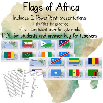
Flags of Africa
Quiz your students on the flags of Africa! Includes: 2 PowerPoint presentations -1 shuffles automatically for student practice -1 is a consistent order intended for quizzesStudent and teacher copies, each with all countries listed.The 54 countries currently recognized in Africa are:AlgeriaAngolaBeninBotswanaBurkina FasoBurundiCameroonCape VerdeCentral African Republic (CAR)ChadComorosCote d’IvoireDemocratic Republic of the CongoDjiboutiEgyptEquatorial GuineaEritreaEswatiniEthiopiaGabonGh
Grades:
Not Grade Specific
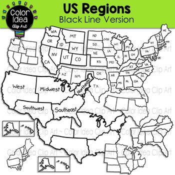
US Regions - Black Line Version
This set contains 24 images. BLACK LINE VERSION ONLY. Images saved at 300 dpi in png files.PLEASE NOTE: These are not exact maps, are graphical representation only.Check out these related clipart sets:Map Skills Clip ArtMap PointersNeighborhood Map SkillsI also have quite a complete selection of clipart in the following bundle:US Regions BundleLandforms BundleEarth Science - Geology Mega BundleEarth Science - Geology Mega Bundle 2☆ Click to follow me to get freebies and updates on new products!
Grades:
PreK - 12th, Adult Education, Staff
Also included in: US Regions Bundle
Solar Eclipse; Cultural Beliefs
This is an excellent lesson for the upcoming Solar Eclipse! A wonderful way to learn about the different myths and folklore regarding the solar eclipse. The cultures/countries viewed are Ancient Egypt, Mesopotamia, West Africa, China, Japan, Korea, Vietnam and India. This is perfect for a middle school world geography class! A spanish version is available for free OR get the entire bundle; including a graphic organizer for students to complete (in English and Spanish)!
Grades:
5th - 8th
Also included in: Solar Eclipse; Cultural Beliefs (English AND SPANISH)
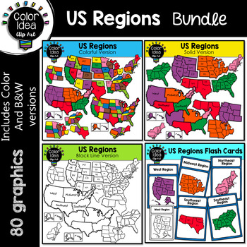
US Regions Bundle
This is a collection of 4 sets. 80 images, colored and black line version. Images saved at 300 dpi in png files.PLEASE NOTE: These are not exact maps, are graphical representation only.** Do not purchase this bundle if you already purchase my USA Maps - BUNDLE **Check out these related clipart sets:Map Skills Clip ArtMap PointersNeighborhood Map SkillsI also have quite a complete selection of clipart in the following bundle:Landforms BundleEarth Science - Geology Mega BundleEarth Science - Geolo
Grades:
3rd - 10th
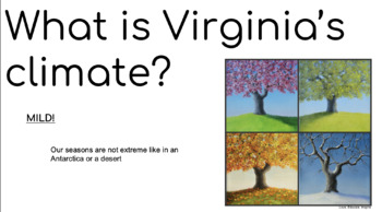
Climate, Seasons, and Landforms (for Virginia, but EDITABLE) PPTX
These slides can be used to facilitate instruction or be used as a review. These google slides cover important climate, seasons, and landforms content for first grade.Content: (visual examples for each)Climate: The kinds of weather an area has over a long period of timeSeasons: clothing (what would you wear during each season)Landforms: the different characteristics of each landform (mountains-pointy, hills- round slopes, valley-slopes surrounded by hills, coastal plain- flat land)
Subjects:
Grades:
K - 2nd
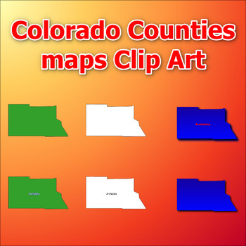
Maps of Colorado Counties Clip Art map Color, Black and White Commercial Use
Click Here>>> click here to subscribe to our storeMaps of Colorado Counties Clip Art map Color, Black and White Commercial UseThis comprehensive collection of clip art gives you the opportunity to discover and add engaging and informative visual elements to your projects. With a total of 384 clip arts, you'll receive 6 choices for each of the all counties in the state of Colorado. Each clip art is in PNG format with a transparent background, giving you the flexibility to easily integrat
Subjects:
Grades:
Not Grade Specific
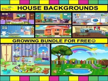
StarBrights - House Room Backgrounds Clipart Bundle 20 different in total
Developing learning material and designing is our passion so we only want the delivery the highest quality but at affordable prices. All files PNG 300dpi so you do not loose resolution when you resize the picture.Creative and colourful house backgrounds include the following: 1.Front of the house2.Dining room3.Garage4.Utility room5.Lounge6.Garden7.Bedroom8.Bathroom9.Kitchen This is a growing bundle to have at least 20 colour rooms very soon. There is more to be added next week . Please check mo
Grades:
Not Grade Specific
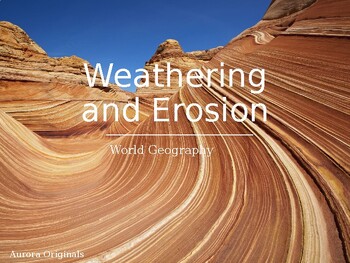
Weathering and Erosion PPT World Geography
Description: Dive into the captivating world of weathering and erosion with this engaging and informative PowerPoint presentation. Designed for educators, students, and anyone curious about the forces that shape our Earth's surface, this comprehensive presentation provides a deep understanding of these natural processes.Presentation Highlights:Weathering Unveiled: Discover how rocks and landforms transform over time due to weathering. Explore mechanical and chemical weathering and their effects
Subjects:
Grades:
8th - 12th
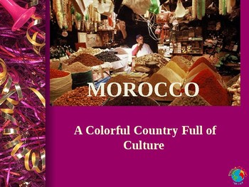
Flying Carpet to Morocco
A colorful country and culture.
Powerpoint includes intro to Morocco, foods/snacks, games, music, dance, clothing, the people, architecture, environment, etiquette, language, cultural short story books, festivals and celebrations.
Subjects:
Grades:
Not Grade Specific

Me on the Map - Accordion Fold Activity
This fun supplement to the story "Me on the Map" by Joan Sweeney can be used to help children understand where they live on our earth. This project can span over a few days or can be done in an afternoon; however it works for your class! This activity can be used with the story, but can also be used without to introduce or close your map unit. This project presents tons of information in an organized, accordion fold keepsake!
Subjects:
Grades:
1st - 2nd

Adaptations & Modifications PowerPoint
I searched and searched and could never find a great resource to use with my 5th graders, so I created just that. This PowerPoint is a great way to introduce students to Adaptations and Modifications to the Environment. You can have students take notes in their notebooks, or simply create fill-in-the-blank notes to go with it! You can even have your students who struggle to write, draw pictures in their notebooks. It's an overall great resource!
Subjects:
Grades:
4th - 6th
Showing 1-24 of 81 results


