446 results
Not grade specific geography internet activities
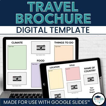
Travel Brochure Digital Research & Vacation Writing Template - Google Slides™
Design eye-catching digital travel brochures with your students to showcase country, city or location research! This editable, two-sided template for Google Slides™ makes it easy to add informational text and photographs. Heading ideas are included to guide student research. Simply share the template through Google Drive or Google Classroom, complete and print double-sided. Looking for more? Check out the bundle! ⭐ Travel Writing Digital Templates: Brochure, Planner, Journal - Google Slides™What
Grades:
Not Grade Specific
Types:
Seven Natural Wonders of the the World Virtual Field Trip Bundle (Google Earth)
This virtual field trip bundle is a great way to infuse technology, spark curiosity, as students learn about the Seven Natural Wonders of the World. These virtual field trips combine Google Earth™ 360-degree views, informational text, video, visuals, and response questions to present information in a meaningful and interactive way.This bundle includes two versions. Both are set up with Google Slides access. The upper elementary version includes a one-page reading passage for each destination and
Subjects:
Grades:
Not Grade Specific
Types:
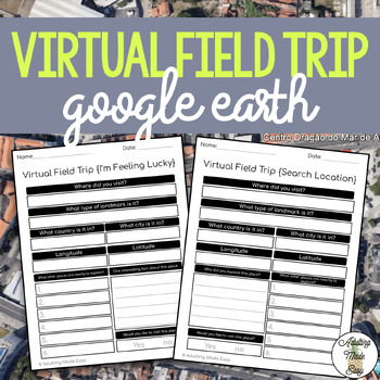
Virtual Field Trip {Google Earth} Extension Worksheets
TAKE A FIELD TRIP AROUND THE WORLD WITHOUT LEAVING THE CLASSROOMThese extension worksheets were made for use with Google Earth™. This resource is not affiliated to Google, intended for adapted classroom use! Great for elearning opportunity! Also comes with editable Google Forms™ versions for distance learning!This comes with:{SEARCH LOCATION} WORKSHEET: This is a perfect extension activity for many different types of lessons such as a history or geography lessons where you have a specific locat
Grades:
Not Grade Specific
Types:
Also included in: Life Skills Spring Bundle
5 Regions of the United States Capitals Tests | DISTANCE LEARNING | Bundle
If you teach the United States states, capitals or abbreviations and want to eliminate correcting time, these differentiated and self-correcting digital assessments for Google Drive and Classroom are going to save you hours of work in distance learning! The resulting data you'll get is easy to organize and download, making it simple to share with colleagues, administration, and parents.⭐⭐⭐⭐⭐⭐⭐⭐⭐⭐⭐⭐⭐⭐⭐⭐⭐⭐⭐⭐⭐⭐⭐⭐⭐⭐⭐⭐⭐⭐⭐⭐⭐⭐People who have purchased these tests have said,❤️"These are a lifesaver!! My
Grades:
Not Grade Specific
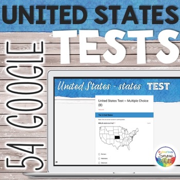
5 Regions of the United States Capitals Tests | DISTANCE LEARNING | 50 states
If you teach the United States states, capitals or abbreviations and want to eliminate correcting time, these differentiated and self-correcting digital assessments for Google Drive and Classroom are going to save you hours of work in distance learning! The resulting data you'll get is easy to organize and download, making it simple to share with colleagues, administration, and parents.⭐⭐⭐⭐⭐⭐⭐⭐⭐⭐⭐⭐⭐⭐⭐⭐⭐⭐⭐⭐⭐⭐⭐⭐⭐⭐⭐⭐⭐⭐⭐⭐⭐⭐People who have purchased these tests have said,❤️"These are a lifesaver!! My
Grades:
Not Grade Specific

Proyecto de país #1 - investigación (cultural project series)
Happy Hispanic Heritage Month!...(or whatever month it is when you’re looking at this). This project series grew out of my desire for my students to dig a little deeper in their cultural understanding of other (Spanish-speaking) countries. Especially in my IB and AP Spanish classes – many tasks require the students to have cultural knowledge, not just linguistic capabilities. I found that my students were sorely lacking in authentic cultural understanding. They often resorted to stereotypes, ove
Subjects:
Grades:
Not Grade Specific
Types:
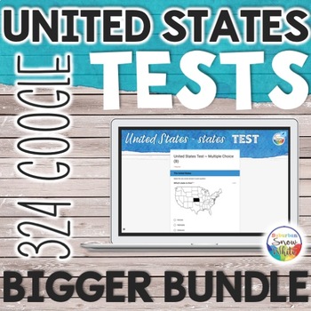
5 Regions of the United States Capitals Tests | DISTANCE LEARNING | Bundle
If you teach the United States states, capitals or abbreviations and want to eliminate correcting time, these differentiated and self-correcting digital assessments for Google Drive and Classroom are going to save you hours of work in distance learning! The resulting data you'll get is easy to organize and download, making it simple to share with colleagues, administration, and parents.⭐⭐⭐⭐⭐⭐⭐⭐⭐⭐⭐⭐⭐⭐⭐⭐⭐⭐⭐⭐⭐⭐⭐⭐⭐⭐⭐⭐⭐⭐⭐⭐⭐⭐⭐⭐⭐People who have purchased these tests have said,❤️"These are a lifesaver!!
Grades:
Not Grade Specific
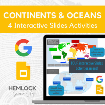
Continents and Oceans - drag-and-drop, labeling in Google Slides
This interactive Slides activity focuses on the Earth's continents and oceans. The post actually contains four assignments all-in-one. Slide #1 is a drag-and-drop for continents, slide #2 involves labeling the continents (clickable text boxes but no word bank), slide #4 is a drag-and-drop for oceans, and slide #5 is labeling the oceans (clickable text boxes but no word bank). Please feel free to use all of the assignments or pick and choose what best serves your students and standards. You can
Subjects:
Grades:
Not Grade Specific
Types:
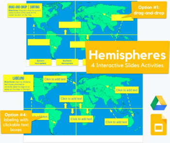
Hemispheres - drag-and-drop, labeling map activity in Slides
This Slides activity challenges students to label the hemispheres. The post actually contains FOUR assignments all-in-one.Slide #1 is a drag-and-drop with 4 draggable options, slide #2 includes clickable text boxes, slide #3 is a drag-and-drop but it also includes the equator and Prime Meridian, and slide #4 includes clickable text boxes. Please feel free to use any of the assignments or pick and choose what best serves your students and standards. The variations are a great way to provide diffe
Grades:
Not Grade Specific
Types:
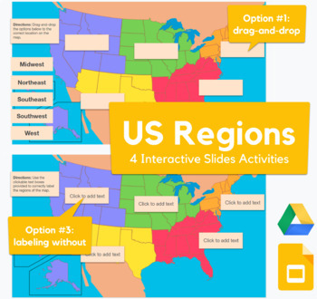
USA Regions Map - drag-and-drop, labeling activity in Slides
This Slides activity challenges students to label the 5 common USA regions. The post actually contains FOUR assignments all-in-one.Slide #1 and 2 are drag-and-drop with draggable options (variations include south vs. southeast, etc.), slide #3 includes clickable text boxes with a word bank, and slide #4 includes clickable text boxes (without the word bank). Please feel free to use any of the assignments or pick and choose what best serves your students and standards. The variations are a great w
Grades:
Not Grade Specific
Types:
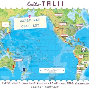
WORLD MAP CLIP ART MEGABUNDLE: 1 map + 98 clip art elements
WORLD MAP CLIP ART MEGABUNDLESet of Mercator Map, high resolution JPG file + 98 clip art files, PNG graphic elements: flags, signs, location icons, dots, pins, push pins. Colors are bright to stand out in the map: red, fuchsia, pink, blue, green, yellow, white and black.These graphics are mostly handdrawn, so they are not perfectly simetrical or perfectly round.You can use this map in your geography or history classes, make teams with different colors, ask your pupils to point out capital citi
Grades:
Not Grade Specific
Types:

New Year's Eve and Day Virtual Field Trip: Interactive and Goal Setting
Embark on an immersive educational journey with my Virtual New Year's Eve and New Year's Day Field Trip – an engaging and comprehensive resource designed for teachers who want to bring the excitement of global celebrations into their classrooms. This virtual field trip is not just an exploration of traditions but a dynamic learning experience that encourages critical thinking, cultural understanding, and creative expression.Why Teachers Should Buy:Ease of Use:The product comes with clear instruc
Grades:
1st - 12th, Not Grade Specific
Types:
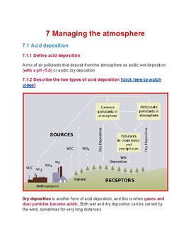
7 Managing the atmosphere
Chapter 7 of the As Environmental management syllabus. Strictly following all the areas required by CIE examination and syllabus. Great source to compensate for the lack of printed material by Cambridge. Contains quality pictures and relevant Youtube links. This unit contains the following informationAcid depositionTypes of acid depositionFormation of acid depositionImpacts of acid depositionPhotochemical smog and its impactsManaging air pollutionOzone depletionOZone holeOzone depletion over Ant
Subjects:
Grades:
Not Grade Specific
Types:
Historical Illinois / Grades 6 and Up
Historical Illinois-- The ultimate supplement to the study of the history of the great state of Illinois! This guide 40+ page guide for grades 5-8 will help your students: Reinforce names and dates from Illinois historyHave an understanding of facts about the state of Illinois.Be familiar with and research notable Illinoisans.Have an understanding of how over time, Illinois changed from one culture to anotherUnderstand how the needs and priorities of Illinoisans made it necessary to change the l
Grades:
Not Grade Specific
Types:
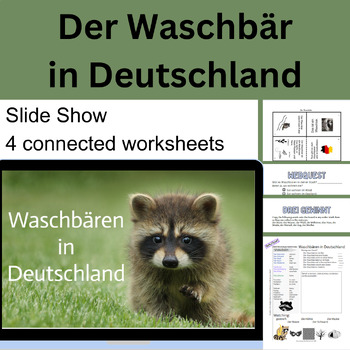
Der Waschbär in Deutschland
In this communicative lesson, students are introduced to the raccoon as an invasive species in Germany. It focuses on speaking and listening, but includes reading exercises and some simple writing exercises.Most US students are very familiar with the raccoon, its natural habitat and its intelligent, adaptable nature. This lesson draws on this background knowledge to help develop vocabulary and practice listening and reading skills. Students first review what they know about raccoons and their ha
Subjects:
Grades:
Not Grade Specific
Types:
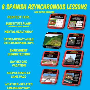
SPANISH SUBSTITUTE LESSONS, MENTAL HEALTH BREAK, VIRTUAL SNOW DAY
Perfect Spanish Substitute Plan for subs who do not speak Spanish. Nine high-interest icons about the culture of each country come with video links and questions. When completed, students search for them in a custom-made hidden picture of a famous landmark in that country.Perfect for:synchronous substitute planalternative enrichment for standardized testing daysday before breakmental health daysvirtual snow dayscatch up day - while others do makeupsAlso useful for those times a holiday or school
Subjects:
Grades:
Not Grade Specific
Types:
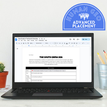
Territory Dispute Case Studies | AP Human Geo | 4.5 Full Digital Lesson
Allow your students to engage with six different case studies highlighting territory disputes around the globe. Students will quickly document the types of disputes, and then spend time independently researching one of six case studies. Each case study comes with 5-7 FRQ questions, and a long list of relevant sources for students to use in their research. Areas of Focus South China Sea Haiti & The Dominican Republic The Arctic North & South Korea Kashmir The Strait of Hormuz
Grades:
Not Grade Specific
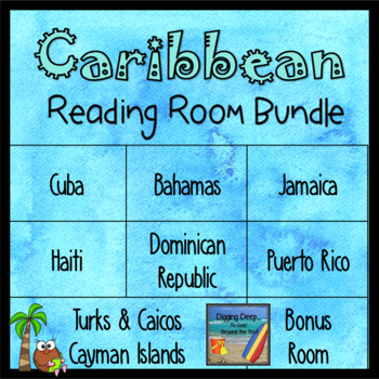
Caribbean Islands Bundle 1: Greater Antilles
This bundle includes the Caribbean Islands known as the Greater Antilles which include the Bahamas, Cuba, Turks and Caicos, Jamaica, Haiti, Dominican Republic, Puerto Rico and the Cayman Islands.The major goal of each Reading Room is to get kids reading about a variety of topics which will expand their knowledge of the world in which they live, while fostering a love for learning. Each eBook library contains 15-30 books to promote student choice in each topic with varying levels of text. Books a
Subjects:
Grades:
Not Grade Specific
Types:
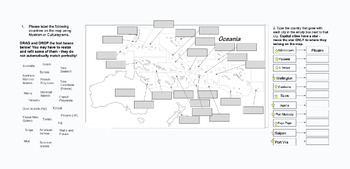
Editable Digital Maps of Oceania - Political and Physical Mapping Activity!
Have your students practice their mapping skills using a combination of an atlas and these digital maps of Oceania. They are completely editable and can be edited to fit your students needs. Feel free to delete or add in cities, features, etc. as you see fit. Slides include both a political and physical map of the area.These go great with the other digital maps in my set (Asia, Middle East, etc) and are paired nicely with Nystrom Atlas (or any other physical or digital atlas).
Grades:
Not Grade Specific
Types:
Ultimate Fall Web Quest Bundle: NO Prep, Classroom ready!
Title: Ultimate Fall Web Quest Bundle: September, October, November, Fall Celebrations, Halloween, ThanksgivingGrade Levels: 6-8, 9-12Subject: History, Geography, Social StudiesResource Type: Webquests, Projects, BundleProduct Description:Unleash your students' curiosity and research skills with our Ultimate Fall Web Quest Bundle! These comprehensive web quests guide students through various reputable websites to uncover fascinating facts and answer engaging questions about popular fall holidays
Grades:
Not Grade Specific
Types:
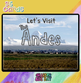
The Andes | Los Andes | Social Studies BOOM Deck |
ʕ•́ᴥ•̀ʔっ Greetings! ♡ ♥Objective♡ ♥Students will learn about the Andes."Let's Visit the Andes. What will you find? How do people live there? What are some natural resources does the Andes offer? Let's find out!" ♡ ♥Download Includes♡ ♥ ✅1 Deck Access ♡♥Features♡ ♥ ✅Multiple Choice ♡♥How to view after purchase♡ ♥ You must have a PDF reader. if you do not have one, or if it's outdated in your system, download it here for FREE. It will also help you in viewing any future PDF files. ♡ ♥How to Ass
Subjects:
Grades:
Not Grade Specific
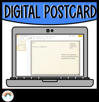
Digital Postcard Template
✏️ Student's may collaborate or work independently to create a digital postcard using this template for Google Slides. Suitable for distance learning or printable. What's included? Postcard front and back cover Google Slides page.You may also be interested in:Are We There Yet? Alison Lester Activities | Book Companion | Teacher ResourceMagic Beach Book Companion | Worksheets & ActivitiesA Letter To Your Teacher On The First & Last Day Of School BundleI hope you enjoy this great bundle in
Grades:
Not Grade Specific
Types:

Berlin Blitz 1943 Assignment | Virtual Reality | Student Activity | Trivia | Map
Make one students Virtual Reality experience an entire class activity with this assignment that follows the STEAM VR 1943 Berlin Blitz experience. While two students are launched into an immersive flight experience with the Royal Air Force, have the rest of your class compete to participate with curriculum appropriate trivia and a flight mapping challenge.
Grades:
Not Grade Specific
Types:
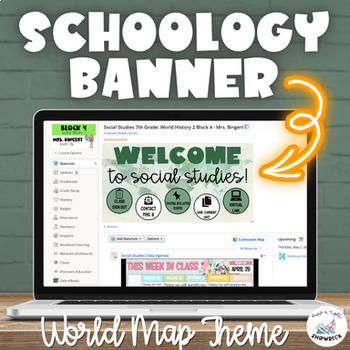
Social Studies World Map Schoology Banner Header in Green
Enhance your Schoology page with this eye-catching World Map Social Studies themed banner with customizable buttons. Perfect for teaching any Social Studies or Geography course! The editable buttons allow for personalized navigation on your page to better suit your classroom needs. Additionally, tutorials are included to guide you through the customization process. Upgrade your Schoology game and engage your students with this visually appealing banners!This resource includes:- Link to make a co
Grades:
Not Grade Specific
Types:
Showing 1-24 of 446 results


