12,824 results
Not grade specific geography worksheets
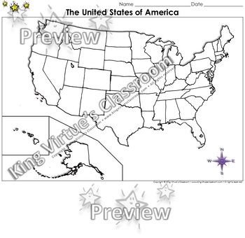
The United States of America Map - Blank - Full Page - King Virtue's Classroom
The United States of America Map - State Lines - Blank - Full Page - King Virtue's ClassroomWorking on your unit on Map Skills? This map is the perfect resource for you! Use it to review The United States of America with your students.This set includes:1 map sheetEnjoy!:)Copyright © King Virtue’s Classroom • www.kingvirtuesclassroom.com • All rights reserved.
Grades:
Not Grade Specific
Types:
Also included in: Social Studies MegaBundle - King Virtue's Classroom
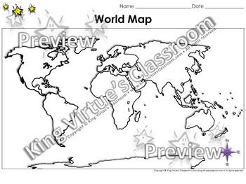
World Map: Continents and Oceans - Blank - Full Page - King Virtue's Classroom
World Map: Continents and Oceans - Blank - Full Page - King Virtue's ClassroomWorking on your unit on Map Skills? This map is the perfect resource for you! Use it to review the 7 continents and 5 oceans with your students.This set includes:1 map sheetEnjoy!:)Copyright © King Virtue’s Classroom • www.kingvirtuesclassroom.com • All rights reserved.
Grades:
Not Grade Specific
Types:
Also included in: Social Studies MegaBundle - King Virtue's Classroom
Political and Physical Map of Canada for Students to Label and Colour (10 Maps)
This resource contains 10 worksheets of maps of Canada to support students as they learn to identify and locate all of the provinces, territories, physical regions, and capitals of Canada. This resource is made for 8.5"x11" paper, but could be resized using printer settings to accommodate larger paper. This product contains an ANSWER KEY.Map Worksheets Included:Political map of Canada (Provinces/Territories) with no title and blank legend template.Political map of Canada (Provinces/Territories)
Grades:
Not Grade Specific
Types:
Also included in: Grade 4 Ontario Social Studies Workbook Bundle
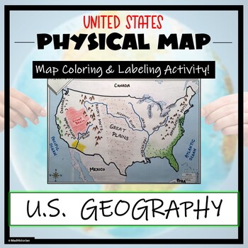
US Physical Map Activity- Label and Color US Physical Features!
This US Geography Map Activity is a MUST for students who are learning about the physical features of the United States! Students will identify, label, and color important geographic elements throughout the country. Directions for labeling and coloring is provided. A completed and colored map is provided for reference, but this map can be completed using a textbook or online resource as well. This is a creative and engaging way of supplementing lessons on geography, topography, and the history
Grades:
Not Grade Specific
Types:
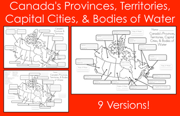
Mapping Canada's Provinces, Territories, Capital Cities, & Bodies of Water
This product includes nine map versions! There are three different types of maps, and each type has three different levels of difficulty designed to meet the needs of all your students!Map #1 - Students must label all of the provinces and territories of Canada.Version 1 - Fill in the blanksVersion 2 - First letter clue givenVersion 3 - Trace over the lettersMap #2 - Students must label all of the provinces, territories, and five bodies of water of Canada. *Word bank provided*Version 1 - Fill in
Subjects:
Grades:
Not Grade Specific
Types:
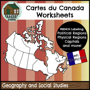
FRENCH Cartes du Canada | Maps of Canada to Label and Colour (10 Maps)
This resource contains 10 worksheets of maps of Canada in FRENCH to support students as they learn to identify and locate all of the provinces, territories, physical regions, and capitals of Canada in French.This resource is made for 8.5"x11" paper, but could be resized using printer settings to accommodate larger paper. This product contains an ANSWER KEY.Map Worksheets Included:Carte politique du Canada (Political map of Canada) (Provinces/Territories) with no title and blank legend template.C
Subjects:
Grades:
Not Grade Specific
Types:
Also included in: MEGA BUNDLE: Grade 4 Ontario FRENCH Social Studies Full Units
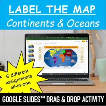
Label the Map - Continents and Oceans | Google Slides™ Drag & Drop Activity
Let your students have fun labeling Earth’s 7 continents and 5 oceans with this interactive mapping Google Slides™ Drag & Drop Activity. The digital resource comes with 6 different assignments all-in-one, as well as two different color schemes. The activity is designed for Google Classroom users, but can ALSO be downloaded, printed and used as a handout in the classroom. Pick and choose what best serves your classroom. Click HERE if you want a cut and paste version of the same activity with
Subjects:
Grades:
Not Grade Specific
Types:
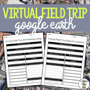
Virtual Field Trip {Google Earth} Extension Worksheets
TAKE A FIELD TRIP AROUND THE WORLD WITHOUT LEAVING THE CLASSROOMThese extension worksheets were made for use with Google Earth™. This resource is not affiliated to Google, intended for adapted classroom use! Great for elearning opportunity! Also comes with editable Google Forms™ versions for distance learning!This comes with:{SEARCH LOCATION} WORKSHEET: This is a perfect extension activity for many different types of lessons such as a history or geography lessons where you have a specific locat
Grades:
Not Grade Specific
Types:
Also included in: Life Skills Spring Bundle
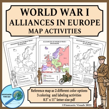
Alliances of World War I in Europe Map Activities
These Alliances of World War I in Europe Map Coloring and Labeling Activities are designed to give the students an overview of the participating countries and alliances of the First World War in Europe. The product includes 3 US letter size map activities for different ability levels and learning targets and a reference map as two differently colored versions. This product includes the following worksheets and reference maps:- blank map of Europe with instructions for labeling the countries and
Grades:
Not Grade Specific
Types:
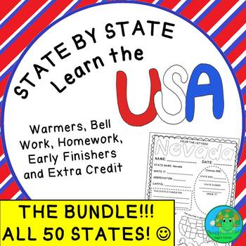
State by State Learn the USA THE BUNDLE Worksheets
Are you a history, social studies, geography or even ESL teacher? If so, this bundle is for you! It is perfect to teach both native English speakers and ESL students about all 50 states. Containing a one-page profile for each state, the possible uses are endless . . . a list of ideas is included in the resource :)If you teach history, social studies, or geography to native English-speaking students:•This bundle is a wonderful compliment to any unit on the United States. If you teach ESL student
Subjects:
Grades:
Not Grade Specific
Types:
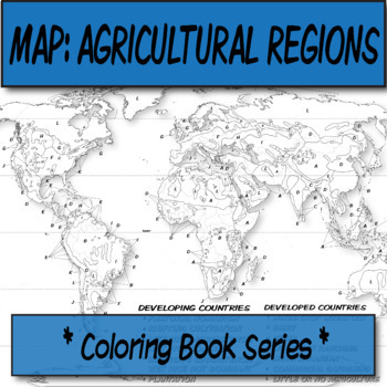
Agricultural Regions Map **Coloring Book Series**
*Geography Coloring Book Series**This blank, agricultural regions map covers the agricultural regions of the world, and is one of the major topics discussed in AP Human Geography. Compare this to Koppen's climate map for correlations.Köppen-Geiger Climate-Blank Map **Coloring Book Series**You can print this on a poster printer for a small group activity, or have these available for cathartic purposes once students are waiting for the bell to ring.This item was created using open-source maps, Ado
Grades:
Not Grade Specific
Types:
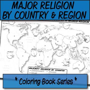
Major Religion by Country & Region Map/Charts **Coloring Book Series**
**Geography Coloring Book Series**Guide your lecture notes with these printable coloring book pages of the majority of practiced world religions by country and region. These are great for printing multiples and cutting for student interactive notebooks as minis. These are particularly great for AP Human Geography, any geography course, religion, cultural studies, or anthropology course.The format is .PNG to allow for you to paste and stretch in Word. I've found that .3'' margins (all sides) is t
Grades:
Not Grade Specific
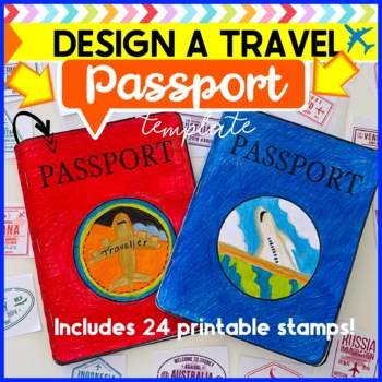
Design a Travel Passport Blank Template paper craft with 24 stamps
Explore different countries from your classroom with these paper travel passports!Included in this download are blank templates to make the passport included in the preview. This is a project for your students to get really creative with and design their own passport logo and front cover! An exciting and engaging paper craft that your students will love to be a part of!After designing and making your passport take your students on a journey investigating and exploring different countries around
Grades:
Not Grade Specific
Types:
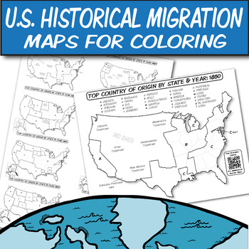
Historical U.S. Immigration Charts for Coloring-An Interactive Map Lesson
**Geography Coloring Book Series****History Coloring Book Series**U.S. Historical Migration Patterns & Processes: Explore the historical immigration patterns of the United States through MAPS with the help of QR codes. These are perfect for your Human Geography, US History, or other humanities course that discusses U.S. immigration and its policies.These blank U.S. Historical Immigration maps are ready for students to color. Students can see how the U.S. demographics changed over time. Maps
Grades:
Not Grade Specific
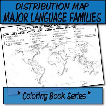
Major Language Families Distribution Map **Coloring Book Series**
**Geography Coloring Book Series**Guide your lecture notes with these printable coloring book pages of the distribution of the major language families. These are great for printing multiples and cutting for student interactive notebooks as minis. These are particularly great for AP Human Geography, any geography course, linguistics, cultural studies, or anthropology course.The format is .PNG to allow for you to paste and stretch in Word. I've found that .3'' margins (all sides) is the farthest m
Grades:
Not Grade Specific
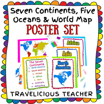
Seven Continents, Five Oceans & World Maps Poster Set
This colorful printable poster set is a great resource for introducing and referring to the world, the seven continents and the five oceans throughout the school year! The resource includes:A poster for each continentA list of the seven continents A list of the five oceansFive world maps (3 versions)World maps without labelsWorld maps with labels (continents only)World maps with labels (continents & oceans)If you love this resource, a review is greatly appreciated! Follow my store for more r
Grades:
Not Grade Specific
Types:
Also included in: Culture Classroom Decor Bundle
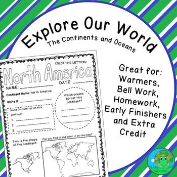
Explore Our World The Continents and Oceans Worksheets
Are you a geography, social studies, or history teacher? If so, this resource is for you! It is a perfect compliment to any unit on world geography or history. Containing a one-page profile for each continent and ocean, the possible uses are endless . . . a list of ideas is included in the resource :)These worksheets will be beneficial in helping your students learn and practice the following:•Continent and ocean names•Continent and ocean locations (both on the world map and in relation to each
Grades:
Not Grade Specific
Types:
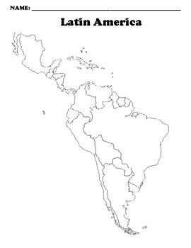
Latin America Map (Blank)
Blank map *Digitally Edits for use with Google Classroom
Subjects:
Grades:
Not Grade Specific
Types:

Wisconsin Activity
Wisconsin Flip Book
⚬Cover Page
⚬Capital City
⚬State Flower
⚬State Bird
⚬State Flag
⚬On the Map
⚬What I Know (Review Page)
2 options are included. A tracing option and an option for fill in the blank.
Check out the thumbnails or the preview to see what's on each page.
★Click Here to Purchase the Full Set of all 50 States!
★Click Here if you are looking for a different state
Related Products
• State and Capitals and Locating States
┅┅┅┅┅┅┅┅┅┅┅┅┅┅┅┅┅┅┅┅┅┅┅┅┅┅┅┅┅┅┅┅┅┅┅┅┅┅┅┅┅┅┅┅┅┅┅┅┅┅┅┅┅┅┅┅┅┅
Subjects:
Grades:
Not Grade Specific
Types:
AP Human Geography-UNIT 6 Bundle-CITIES AND URBAN LAND USE PATTERNS AND PRO
You asked for it, and I made it!This is a growing bundle of all of my UNIT 6 materials for AP Human Geography that covers CITIES AND URBAN LAND USE PATTERNS AND PROCESSES. I'm constantly making new materials so you will need to check back for new content once in awhile to update your download. **Please take note that this is not ordered in any particular manner and does not give you pacing guides or instruct you on what is best practice in YOUR classroom. This is just collections of my resources
Grades:
Not Grade Specific
Types:
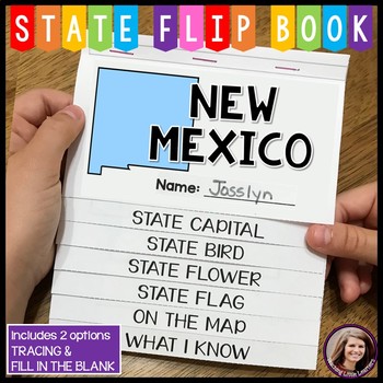
New Mexico Activity
New Mexico Flip Book
⚬Cover Page
⚬Capital City
⚬State Flower
⚬State Bird
⚬State Flag
⚬On the Map
⚬What I Know (Review Page)
2 options are included. A tracing option and an option for fill in the blank.
Check out the thumbnails or the preview to see what's on each page.
★Click Here to Purchase the Full Set of all 50 States!
★Click Here if you are looking for a different state
Related Products
• State and Capitals and Locating States
┅┅┅┅┅┅┅┅┅┅┅┅┅┅┅┅┅┅┅┅┅┅┅┅┅┅┅┅┅┅┅┅┅┅┅┅┅┅┅┅┅┅┅┅┅┅┅┅┅┅┅┅┅┅┅┅┅
Subjects:
Grades:
Not Grade Specific
Types:
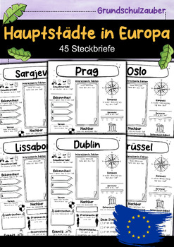
Hauptstädte in Europa - 45 Steckbriefe Materialpaket
45 Hauptstädte in Europa Die Haupstädte:Amsterdam, Andorra la Vella, Athen, Belgrad, Berlin, Bern, Bratislava, Brüssel, Bukarest, Budapest, Chisinau, Dublin, Helsinki, Kiew, Kopenhagen, Lissabon, Ljubljana, London, Luxemburg, Madrid, Minsk, Monaco, Moskau, Nikosia, Oslo, Paris, Podgorica, Prag, Pristina, Reykjavik, Riga, Rom, San Marino, Sarajevo, Skopje, Sofia, Stockholm, Tallinn, Tirana, Vaduz, Valletta, Vilnius, Warschau, Wien, Zagreb.
Subjects:
Grades:
Not Grade Specific
Types:
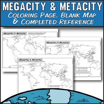
Megacity & Metacity **Coloring Map Series** AP Human Geography
Key Terms: AP Human Geography, Urbanization, Megacity, Megacities, Metacities, Metacity, 6.2Guide your urbanization lecture with these printable coloring book pages and lecture image of 2020's world urban MEGACITIES & METACITIES. Students can discover which world cities identify as having more than 10 million residents (megacity) and 20 million residents (metacity). Statistics are gathered from multiple sources that include city proper, urban area, greater metropolitan, and U.N. estimates as
Grades:
Not Grade Specific
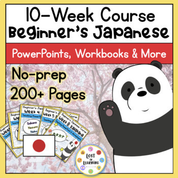
Beginner's Japanese Course || 10-Weeks || Nihongo || No-Prep 300+ Pages
A 10-week, no-prep beginner's Japanese course that teaches the basics of introductions, numbers, colors, animals, days of the week, hiragana, katakana, school and family life!*This bundle is now complete :3*An example of what each week includes:Week 1Making and exchanging Meishi (business cards)Finding Japan on a world mapResearching Japan's key factsIdentifying Japanese vocabulary in the English languageSpeaking activitiesAn 18-slide Teaching PowerPoint'How to use this product' explanation with
Subjects:
Grades:
Not Grade Specific
Types:
Showing 1-24 of 12,824 results


