16,327 results
10th grade geography worksheets
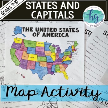
50 States and Capitals Map Activity with printable worksheets & digital map game
Do your students need to know the state capitals and the location of each state on a map? This engaging map set for the 50 states and their capitals will guide your students through labeling a blank map and learning the capitals. Print and digital options plus access to online self-checking map and flashcards let you easily customize the lesson to best fit the needs of your students. Students will label a blank map of the United States with the names of the 50 states and then record the capital
Subjects:
Grades:
4th - 10th
Types:
Also included in: American History Map Activities Bundle for U.S. History Units & Lessons
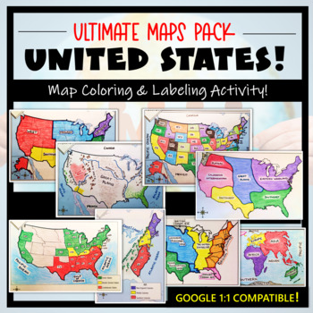
U.S. Maps & Geography- The Ultimate Label & Color Maps Pack! (American History)
This United States Ultimate Maps & Geography Pack includes eight different maps for your American History student explorers- Political Map, Physical Map, Native American Cultural Regions, 13 Colonies, Westward Expansion, 5 Regions, Civil War, and a World Map. These labeling and coloring activities are interactive, engaging, and ready to use- just print and copy! A Teacher’s Guide is provided, as well as options for use to fit your curriculum/lesson. You will also receive a completed, col
Grades:
3rd - 10th
Types:
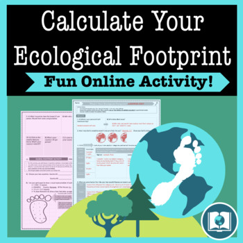
My Ecological Footprint: Fun Online Activity and Worksheet about Climate Change
Take your class to the computer lab for a fun and engaging activity! Students will use an interactive website to find out how their lifestyle determines their ecological footprint and impacts our planet. This activity is the first step in a fun lesson that spans two classes and gets your students learning about the environmental impact of the choices we make every day. This lesson fits perfectly into a unit or course about climate change, environmentalism, geography or world issues. There is lit
Subjects:
Grades:
9th - 12th
Types:
Also included in: Climate Change and Environmental Sustainability Bundle for High School
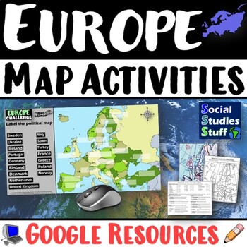
Geography of Europe Map Practice Activities | Print and Digital | Google
End the cycle of bored students copying from books to label maps! Your classes think critically with these digital, interactive, geography activities. First, students answer questions about Europe by analyzing various physical & political maps of the region. Then, a drag & drop challenge assesses their learning of the locations. This resource also includes a printable worksheet that takes labeling maps to the next level! They create a map using only absolute & relative location clues
Subjects:
Grades:
5th - 12th
CCSS:
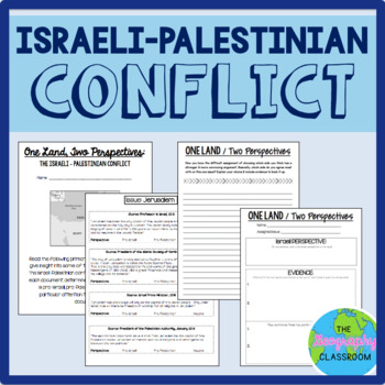
Israel Palestine Conflict History Set
This set includes several resources and activities to use when teaching the complicated Israeli-Palestinian conflict. This set includes:- A short reading on the "two-state solution"- Several primary source documents that help students understand the major issues preventing a two-state solution. As students read the documents, they have to decide whether each document has a pro-Israeli perspective, a pro-Palestinian perspective, or a neutral perspective. - 12 page PowerPoint slides for teachers t
Grades:
6th - 12th
Types:
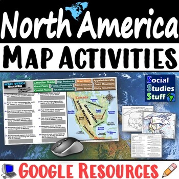
Geography of North America Map Practice Activities | USA Canada Mexico | Google
End the cycle of bored students copying from books to label maps! Your classes think critically with these digital, interactive, geography activities. First, students answer questions about North America by analyzing various physical & political maps of the region. Then, a drag & drop challenge assesses their learning of the locations. This resource also includes a printable worksheet that takes labeling maps to the next level! They create a map of the United States, Canada, and Mexico u
Subjects:
Grades:
5th - 12th
CCSS:
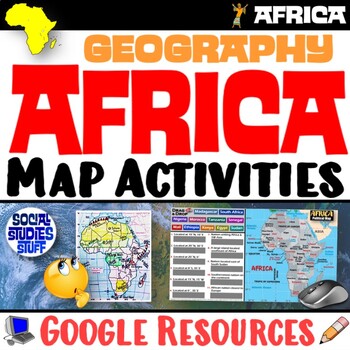
Geography of Africa Map Practice Activities | Print and Digital | Google
End the cycle of bored students copying from books to label maps! Your classes think critically with these digital, interactive, geography activities. First, students answer questions about Africa by analyzing various physical & political maps of the region. Then, a drag & drop challenge assesses their learning of the locations. This resource also includes a printable worksheet that takes labeling maps to the next level! They create a map using only absolute & relative location clues
Subjects:
Grades:
5th - 12th
CCSS:
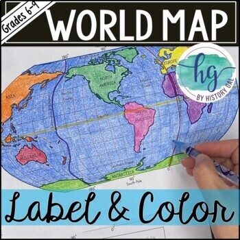
World Map Activity (Print and Digital)
Students will label 17 items on the world map including the continents, oceans, equator, prime meridian, international date line, North Pole and South Pole. Alternatively, students can just color on the coloring page version. What's included with the Printed Versions:*Blank World Map for students to label and color (1 page, uneditable pdf)*World Map Coloring Page (1 page, uneditable pdf)*Map Key (1 page, uneditable pdf)*Animated PowerPoint and Google Slides shows each location and is perfect fo
Subjects:
Grades:
6th - 10th
Types:
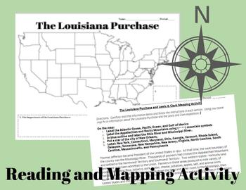
The Louisiana Purchase and Lewis & Clark Mapping Activity
This one day lesson will introduce students to the Louisiana Purchase while incorporating mapping and geography skills.Included in your purchase:1. Summary of Louisiana Purchase and Lewis & Clark expedition.2. Blank Map of the United States3. Directions for coloring and labeling map of the United States using current and historical place names related to the Lousiana Purchase and the Lewis & Clark Expedition.Note Some Additional Supplies Needed:--Colored Pencils--Map resources to help st
Grades:
6th - 10th
Types:
Also included in: Thomas Jefferson, The Louisiana Purchase and Lewis & Clark Lesson Bundle
Cultural Diffusion and Globalization 5-E Lesson | McDonalds in India | Google
This student-favorite lesson explores cultural diffusion and its effects on our world. The activities are engaging for students & the guided, 5-E format is easy for you to use! Begin with a fun “Name It” warm-up activity. Explore how culture is shared and adapted globally, then introduce key vocabulary. Fill-in notes accompany the lesson. A photo analysis activity challenges your class to compare McDonalds in India to the United States. Finally, a reading comprehension activity investigates
Grades:
6th - 12th
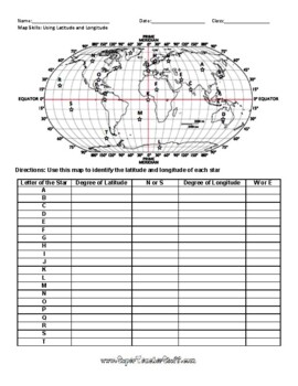
Latitude and Longitude Worksheet & Answer Key
This worksheet is an awesome way to teach Latitude and Longitude. The way that it is structured reinforces that Latitude measures North and South of the Equator, and that Longitude measures East and West of the Prime Meridian. This worksheet features a World Map with an Answer Key.
Subjects:
Grades:
3rd - 12th, Higher Education, Adult Education
Types:
Interactive Notebook - World Cultures and Geography
VIEW COMPANION WORKBOOK FOR THIS RESOURCE AT: http://www.teacherspayteachers.com/Product/COMPANION-WORKBOOK-for-Interactive-Notebook-World-Cultures-and-Geography-990245
This interactive notebook was created to comply with the TEKS (Texas Essential Knowledge and Skills) for 6th grade social studies. It can be used, in whole or in part, in any class where geography and world culture is taught.
This 123 page product will give you an easy to use and follow and FLEXIBLE resource to add to your le
Grades:
3rd - 12th
Types:
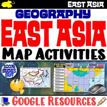
Geography of East Asia Map Practice Activities | Print and Digital | Google
End the cycle of bored students copying from books to label maps! Your classes think critically with these digital, interactive, geography activities. First, students answer questions about East Asia by analyzing various physical & political maps of the region. Then, a drag & drop challenge assesses their learning of the locations. This resource also includes a printable worksheet that takes labeling maps to the next level! They create a map using only absolute & relative location cl
Subjects:
Grades:
5th - 12th
CCSS:
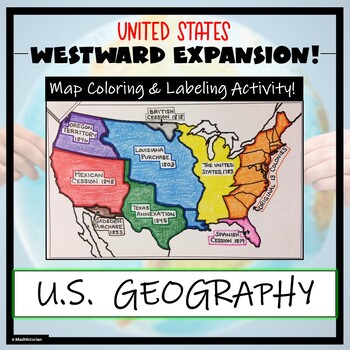
Westward Expansion Map Activity (Label and Color the Map!)
This US Geography Map Activity is a MUST for students who are learning about Westward Expansion! Students will identify, label, and color the various territories that were acquired by the United States to complete the borders that it has today. Directions for labeling and coloring are provided. A completed and colored map is provided for reference, but this map can be completed using a textbook or online resource as well. This is a creative and engaging way of supplementing lessons on geograph
Grades:
3rd - 11th
Types:
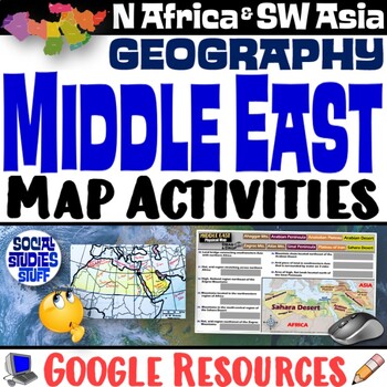
Middle East Map Practice Activities | SW Asia & North Africa Geography | Google
End the cycle of bored students copying from books to label maps! Your classes think critically with these digital, interactive, geography activities. First, students answer questions about the Middle East by analyzing various physical & political maps of the region. Then, a drag & drop challenge assesses their learning of the locations. This resource also includes a printable worksheet that takes labeling maps to the next level! They create a map of Southwest Asia & North Africa usi
Subjects:
Grades:
5th - 12th
CCSS:
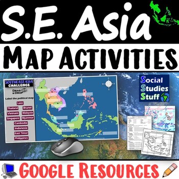
Geography of Southeast Asia Map Practice Activities | SE Asia Region | Google
End the cycle of bored students copying from books to label maps! Your classes think critically with these digital, interactive, geography activities. First, students answer questions about Southeast Asia by analyzing various physical & political maps of the region. Then, a drag & drop challenge assesses their learning of the locations. This resource also includes a printable worksheet that takes labeling maps to the next level! They create a map using only absolute & relative locati
Subjects:
Grades:
5th - 12th
CCSS:
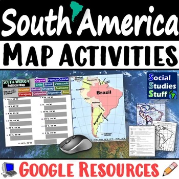
Geography of South America Map Practice Activities | Print and Digital | Google
End the cycle of bored students copying from books to label maps! Your classes think critically with these digital, interactive, geography activities. First, students answer questions about South America by analyzing various physical & political maps of the region. Then, a drag & drop challenge assesses their learning of the locations. This resource also includes a printable worksheet that takes labeling maps to the next level! They create a map using only absolute & relative locatio
Subjects:
Grades:
5th - 12th
CCSS:
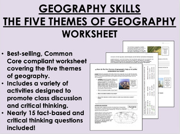
Geography Skills - The Five Themes of Geography worksheet
Geography Skills - The Five Themes of Geography worksheetBEST SELLER!AIM: How do the five themes of geography help us to better understand our world?Common core compliant worksheet that introduces students to the five themes of geography as a tool for understanding our world. Includes a variety of student-centered activities designed to promote critical thinking and class discussion. Topics covered in this worksheet include:The five themes of geography – location, place, human-environment intera
Grades:
7th - 12th
Types:
Also included in: 9th Grade Global/World History MEGA Bundle
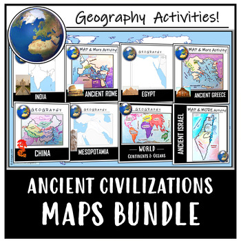
Ancient Civilizations / World Maps BUNDLE- Color & Label Activities!
This maps bundle offers a creative way to learn about the geography of the Ancient World! Each student will make their own, personalized maps of different global civilizations, and enhance their knowledge of each region. They will label and color their blank maps, and answer follow-up questions related to the geography of each civilization, and create fun travel brochures. This includes a world map of continents and oceans. These activities are completely student-centered, and no direction in
Grades:
4th - 12th
Types:
CCSS:
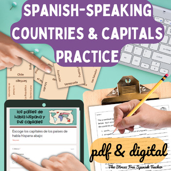
Spanish Speaking Countries Practice Activities Puzzles pdf and digital Worksheet
Help your Spanish students review the Spanish Speaking Countries and Capitals with 11 pdf practice activities, 11 digital practice activities, PLUS 13 quizzes / assessments / activities to choose from (including Google Forms™ quizzes!)No Prep! ⭐️ 1:1 classroom friendly, digital learning friendly. Google Forms™ self grading assessments included.OR⭐️Just print and go!Perfect for Spanish back to school, and to help your Spanish students practice the Spanish-speaking countries all year!✅ What's inc
Subjects:
Grades:
4th - 12th
Types:
Also included in: Build Your Own Bundle of Spanish Resources | Special order for Sydney
Map Sets and Blank World Maps for Student Review Activities
In this blank map and student map review set, students spend time labeling, learning, and reviewing maps and countries from around the world. This activity is great for your students to improve map skills, learn about locations around the world, and develop an understanding for the world around them. Included in this purchase are 16 easy to label maps from around the world (the United States, Canada, Central America, South America, Europe, Africa, Asia, and Australia/Pacific). 8 of these are u
Grades:
3rd - 12th
Types:
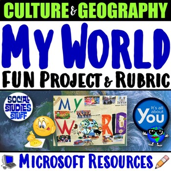
My World Culture and Geography Project | FUN Cultural PBL Activity | Microsoft
Students showcase their own unique cultures and geography with this fun “My World” project. First, a brainstorm activity challenges them to consider how cultural influences and geographical factors have shaped their lives. Then, they design creative and informative posters all about their WORLDS! Guided slides help you explain the project and a fill-in rubric makes grading easy. This project-based learning activity promotes cross-cultural understanding and students love decorating their globes w
Grades:
4th - 10th
CCSS:
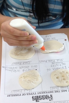
Types of Fossils Activity
Different types of fossils. True form, cast, mold, and trace fossils. Students will replicate each type of fossil and glue it to the handout.
Subjects:
Grades:
1st - 10th
Types:
*English Bundle* - Issues in Canadian Geography, Grade 9 CGC1D (Ontario)
** DISCLAIMER: PLEASE READ ALL THE WAY TO THE BOTTOM TO ENSURE YOU UNDERSTAND EXACTLY WHAT YOU ARE PURCHASING. IF YOU ARE STILL UNSURE, KINDLY POST A QUESTION / SEND US AN EMAIL WE CAN HAPPILY ANSWER BEFORE YOU PURCHASE! **** PLEASE NOTE UPDATES TO THIS COURSE TO MEET THE NEW DESTREAMED GEOGRAPHY GRADE 9 CURRICULUM WILL BE STARTED ONCE THE CURRICULUM DOCUMENT IS RELEASED**Digital Unit: CGC1D - Issues in Canadian Geography Grade 9 (Ontario)From the Ontario Ministry Curriculum Document Canadian an
Subjects:
Grades:
7th - 10th
Types:
Showing 1-24 of 16,327 results


