1,031 results
Geography posters $5-10
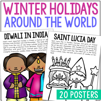
WINTER HOLIDAYS AROUND THE WORLD Posters | Christmas Culture Study Activity
This set of Christmas around the World posters is super versatile! You'll receive the pages in black/white AND full color. Shrink them down for interactive notebook inserts, mini books, bulletin board decor, hall displays, or as a quick coloring page to accompany your read-aloud. Students love these note pages because they provide just enough new vocabulary and ideas to engage but aren’t overwhelming.CLICK HERE to save 25% on this resource in the Christmas Posters Bundle!WINTER HOLIDAY THEMES IN
Grades:
PreK - 5th
Types:
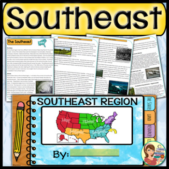
US Regions: Southeast Region (Print and Digital)
This is a comprehensive resource that explores the twelve states in the Southeastern region. A non-fiction informational text packet covers the region’s history, climate, land, economy, natural resources and landmarks. Several other items are included in this resource as well. Please see below for more details. UPDATE: Mississippi's new flag has been added to the poster.★ ★ ★ BUNDLE ALERT! DO NOT MISS THE SAVINGS! ★ ★ ★SAVE 20% OFF individual unit prices when you purchase the Five Regions of
Grades:
4th - 6th
Types:
Also included in: 5 Regions of the United States BUNDLE (Print and Digital)
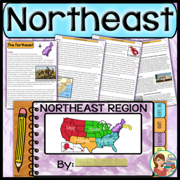
US Regions: Northeast Region (Print and Digital)
This comprehensive resource explores the eleven states in the Northeastern region. A non-fiction informational text packet covers the region’s history, climate, land, economy, natural resources and landmarks. Several other items are included in this resource as well. Please see below for more details.UPDATE: This resource now includes GOOGLE SLIDE versions for the student worksheets, booklet and the PowerPoint presentation.★ ★ ★ BUNDLE ALERT! DO NOT MISS THE SAVINGS! ★ ★ ★SAVE 20% OFF individ
Grades:
4th - 6th
Types:
Also included in: 5 Regions of the United States BUNDLE (Print and Digital)
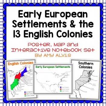
Early European Settlements & 13 English Colonies Poster and INB
This poster, map and interactive notebook INB set covers covers the early American settlements of Santa Fe, St. Augustine, Roanoke Island, Jamestown, Plymouth and Quebec as well as the original 13 colonies.You will get the following:pg. 3: Poster of Early European Settlements (Santa Fe, St. Augustine, Roanoke Island, Jamestown, Plymouth, and Quebec)pg. 4: Map of Early European Settlements where students can map where each settlement was.pg. 5-12: Posters of 13 Coloniespg. 13: Map page for stud
Grades:
5th - 9th
Map Skills & Landforms Unit
Do your students need practice with map skills? Do they need engaging activities to help them learn key vocabulary and directions? If so, this unit is perfect for them!What's Included?Map Skills Practice:Zoo - Using a Map Key to Place Objects on a MapIn the Neighborhood - Answering Questions about the MapPlacing Objects using North, South, East, WestTreasure! - Finding objects that are North, South, East, WestClassroom Map - Answering Questions about a Classroom MapOur Classroom - Make your Own
Grades:
PreK - 2nd
Types:
Landforms: For Young Globetrotters
Get your little globetrotters excited about landforms with this engaging bundle!
Use the posters to introduce landforms to your students, and have them make their own Globetrotter's Guide to Landforms. Don't feel limited by the clipart, blank templates allow you add your own!
What's Included:
Cover
Directions
Landforms Poster
Mountain Poster
Canyon Poster
Volcano Poster
Plain Poster
Valley Poster
Hill Poster
River Poster
Desert Poster
Island Poster
Ocean Poster
Lake Poster
Student Book: A Glo
Grades:
1st - 4th
Types:
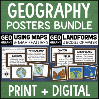
Geography Landforms & Bodies of Water Types of Maps Map Elements Posters
This maps and landforms bundle includes two sets of visual aids for teaching geography along with worksheets and topic assessments.INCLUDES:MAPS AND MAP FEATURESThis resource helps students learn about the different types of maps and common map features. It includes 17 visuals/posters plus a worksheet/assessment.POSTERS - These can be kept together as a single page or cut apart into separate cards for display or a matching activity. The top of each card has the title and definition, and the bott
Grades:
4th - 7th
Types:
Flags and Languages of the World Bundle - Clipart, Posters and Printable Banner!
Contains five of our best products! Savings of 50%!Languages of the World - Hello in Every Language - Printable PostersThis is a set of 162 color, printable posters that showcase the word "HELLO" in all of the languages of the world. Each has its own unique flag in the background along with the name of the language itself.Flags of the World Banner / Bunting / PennantThis 203 flag collection is an excellent resource for creatively displaying world flags in your classroom.You will receive a zip f
Grades:
Not Grade Specific
Types:
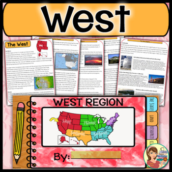
US Regions: West Region (Print and Digital)
This is a comprehensive resource that explores the eleven states in the Western region. A non-fiction informational text packet covers the region’s history, climate, land, economy, natural resources and landmarks. Several other items are included in this resource as well. Please see below for more details. UPDATE: This resource now includes GOOGLE SLIDE versions for the student worksheets, booklet and the PowerPoint presentation.★ ★ ★ BUNDLE ALERT! DO NOT MISS THE SAVINGS! ★ ★ ★SAVE 20% OFF in
Grades:
4th - 6th
Types:
Also included in: 5 Regions of the United States BUNDLE (Print and Digital)
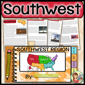
US Regions: Southwest Region (Print and Digital)
This is a comprehensive resource that explores the four states in the Southwestern region. A non-fiction informational text packet covers the region’s history, climate, land, economy, natural resources and landmarks. Several other items are included in this resource as well. Please see below for more details. UPDATE: This resource now includes GOOGLE SLIDE versions for the worksheets, booklet and presentation.★ ★ ★ BUNDLE ALERT! DO NOT MISS THE SAVINGS! ★ ★ ★SAVE 20% OFF individual unit price
Grades:
4th - 6th
Types:
Also included in: 5 Regions of the United States BUNDLE (Print and Digital)
Exploring Maps: Pirate Style! {The Basics}
Looking for supplemental materials?!
Explore maps... PIRATE STYLE!
This 69 page supplemental resource packs in a lot of foundational, BASIC map skills in fun, interactive, developmentally friendly ways! Use a hula hoop, Silly Bands, and rumpled up paper bags to navigate through your mapping unit! :) It's best used as a review of basic elements of maps, and it is intended to be a supplement to your existing unit.
What's Included:
Cover
Introduction: Map Treasures
Teaching About Maps
Pirate
Grades:
1st - 2nd
Types:
Create Your Own Island Geography Project
This Create Your Own Island Project is a great geography project for all of your students. There is a little something for every type of interest! The Island Project will incorporate map skills and knowledge of geography with writing, art, and a whole lot of creativity. I love using this project to get to know my students better and see some of their skills outside of typical educational experience. In this Island Project, your students will be challenged to design their own “recently discovered
Subjects:
Grades:
6th - 9th
Types:
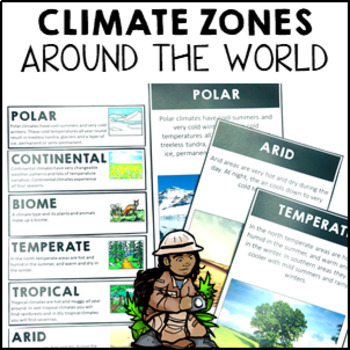
Climate Zones Maps Vocabulary Cards and Posters
These climate vocabulary cards and posters will help your students to understand what the major climate zones in the world are. They came with 4 options: vocabulary cards for your word wall (with image and definition), large poster with image, large poster with real photograph and large poster you can turn into either a student workbook piece or colour and decorate for the classroom wall.Note: if you are looking for the simplified Australian climate zones please look at this resource Climate Zon
Subjects:
Grades:
2nd - 4th
Types:
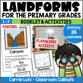
Landforms 2nd Grade | Booklet & Activities for Social Studies
Kids will have a blast learning about landforms with this engaging resource! In this packet, the information is given in the form of posters, assessed with a booklet and practiced with fun magic flashlight cards. The name of the landform magically appears when they shine the flashlight behind the card.About This Resource:Information Posters – Print these on card stock and laminate. Hang them up as you teach them, or all at once. Use only what you need, print only what you need. Students will use
Grades:
1st - 3rd
Types:
Also included in: Landforms 2nd Grade | Booklet, Posters, and Bingo Activities
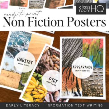
Information Text Writing Word Wall Cards + Posters - BUNDLE
Grab all three sets of our beautiful animal non-fiction word wall cards! Perfect for creating a word wall for learning to write information or informative texts. This set of over 110 different word wall cards focuses on where animals live, what they look like and what they eat. Real life photos have been used throughout to creating this gorgeous resource.Download also includes our three Information Text Posters - Habitat/Appearance/Diet, to help tie the concept together.Use our animal posters to
Subjects:
Grades:
Not Grade Specific
Types:
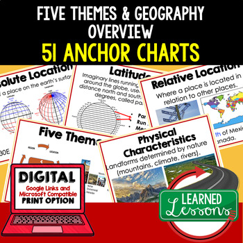
Five Themes of Geography Anchor Charts (World Geography Anchor Charts), Posters
Five Themes and Geography Anchor Charts (Great as Bellringers, Word Walls, and Concept Boards), Five Themes Posters, Geography Review Pages, Google Classroom, Print & Digital Distance Learning This bundle will take your through the entire Geography curriculum. It will include all components of Geography. This is perfect for traveling around the world in style. THIS IS ALSO PART OF World Geography MEGA BUNDLE, Five Themes BUNDLE, Geography ANCHOR CHART BUNDLE Anchor charts are great for
Grades:
6th - 12th
Types:
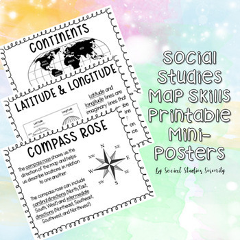
Social Studies Map Skills Posters Printable Bulletin Board Display
These posters (can print on regular 8.5"x11" paper) are great for a social studies bulletin board. These cute mini posters include important map skills such as countries vs. continents, latitude and longitude, map key, map scale, compass rose, and more! Print the mini posters on colorful paper, laminate, add a world map, and you will have a beautiful and informative social studies bulletin board!
Grades:
PreK - 9th
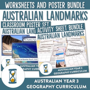
Australian Landmarks Worksheet and Poster Bundle
Engage your students in Australia's unique geographical features with these ready-to-print worksheets and posters. Designed to compliment the Year 3 Australian HASS curriculum your students will have the opportunity to explore where Australia is in the world, identify the different States and Territories of Australia and identify various landmarks and their locations throughout Australia. Students will also be able to sort these landmarks between natural and manmade and then explore the signific
Grades:
3rd - 6th
Types:
Map Skills Project - Landforms Activity Project Based Learning - PBL
Review maps and landforms with this culminating project based learning geography activity. Make map skills fun ! Students will create an ”Initial Island” with their first name initial and add a variety of landforms, bodies of water, human made features, a compass rose and a map key. A scoring rubric is provided. In addition an optional writing activity is included. Students will write a persuasive commercial advertising their island as an ideal vacation spot.You might also like:Grade the Teache
Subjects:
Grades:
3rd - 6th
Types:
Also included in: Landforms Geography Bundle- Earth's Land Formations and Map Skills- PBL
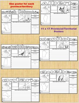
Canada - Provinces and Territories Research Posters/Graphic Organizers
This download is series of 13 posters (one poster for each of the 10 provinces and 3 territories of Canada). In order to complete the posters the students must:-colour in the province/territory on a map of Canada-locate and place the provincial/territorial capital and the largest provincial/territorial city on a map of the province/territory-draw and colour the provincial/territorial flag (or cut and paste the flag)-identify the bird and flower of the province/territory-find out the population-n
Subjects:
Grades:
2nd - 5th
Types:
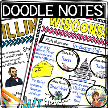
US Regions: Midwest Region Doodle Notes, Posters, Powerpoint & Passages
This comprehensive resource explores the twelve states in the Midwest region. A non-fiction informational text packet covers the region’s history, climate, land, economy, natural resources and landmarks. Fun Doodle Notes, vibrant posters and a PowerPoint are included too! Please see below for more details.This resource includes:★ An Introductory PowerPoint Presentation – Introduce this region to your students using this colorful yet cleanly designed PowerPoint. Great way to preview for
Grades:
4th - 6th
Types:
Also included in: US Regions Doodle Notes Bundle - Social Studies
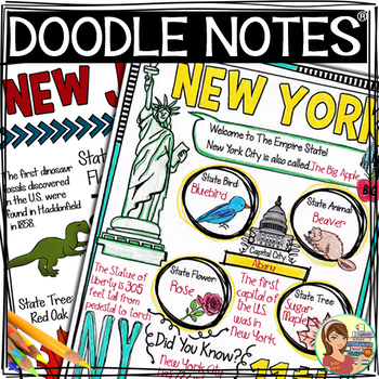
US Regions: Northeast Region Doodle Notes, Posters, Powerpoint & Passages
This comprehensive resource explores the eleven states in the Northeast region. A non-fiction informational text packet covers the region’s history, climate, land, economy, natural resources and landmarks. Fun Doodle Notes, vibrant posters and a PowerPoint are included too! Please see below for more details.This resource includes:★ An Introductory PowerPoint Presentation – Introduce this region to your students using this colorful yet cleanly designed PowerPoint. Great way to preview fo
Grades:
4th - 6th
Types:
Also included in: US Regions Doodle Notes Bundle - Social Studies
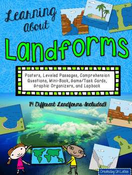
Landforms Lapbook and Close Reading Passages
This packet contains several resources for teaching your students about 14 different landforms: oceans, lakes, islands, mountains, hills, plateaus, isthmuses, peninsulas, bays, volcanoes, rivers, canyons, valleys, and glaciers
*Color posters with a clear illustration and definition for each landform. These can be printed or projected.
*Lapbook or interactive notebook foldables
*Close reading passages for each landform, Lexile-leveled, appropriate for grades 3-5.
*Accompanying comprehension q
Subjects:
Grades:
2nd - 5th
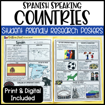
Country Research Project Posters: Spanish Speaking - Printable & Digital
Country Research Project Posters are a fun and simple way for your students to research countries around the world. These project posters are student friendly and help guide your students in what exactly to research. These posters are perfect for students to display their research! And they look fabulous on a bulletin board or hallway display!This set is a special request, with Spanish speaking countries only. I also have COUNTRY RESEARCH PROJECT POSTERS GROWING BUNDLE.This is part of my HUGE GR
Grades:
3rd - 6th
Types:
Showing 1-24 of 1,031 results


