756 results
Higher education geography resources $5-10
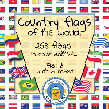
Country flags of the world: 263 Country flags - clip art bundle (1052 clips!)
Country flags of the world: 263 Country flags. HUGE clip art BUNDLE!
This clip art contains 263 flags, in 2 forms (flat and with mast) in color and black & white line art.
Contains all the flags of the countries of the world : 195 Countries.
Look at the complete list of flags by downloading the preview
A total of 1052 clips!
Included:
263 color flag (flat) clip art flag set- PNG format
263 B&W flag (flat) clip art set- PNG format
263 color flag (with mast) clip art set- PNG format
Grades:
PreK - 12th, Higher Education, Adult Education
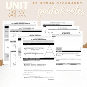
Unit 6: Student Guided Notes - AP Human Geography
Notes pages for each CED topic for Unit Six.Use the guided notes to scaffold your Human Geography lectures with my accompanying lecture slideshows! You can find slideshow lectures that correlate directly with EACH CED Topic for AP Human Geography Unit 6 here.Students can use as a study guide, you can assign for homework, or use with a self-guided or in-person lecture! You can assign this to be completed digitally for distance learning or print and have students complete hardcopy.So many uses!
Grades:
9th - 12th, Higher Education
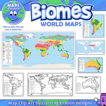
Biomes - Maps of the World and Continents Clip Art
Biomes World MapsHigh quality color and black and white maps of biome regions of the world. This clipart map set contains the following commercial use graphics:- Color maps of the world biome areas- Black and white line art maps of the world biome areas to color (with blank legend / key to also color)- Maps with and without the equator and geographic lines- Maps of continents showing biome regions- Maps of the world showing individual biome regions (for example: maps showing where the worlds tem
Grades:
3rd - 12th, Higher Education, Adult Education, Staff
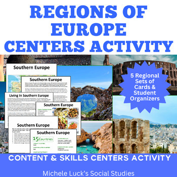
Regions of Europe Centers Activity for European Geography or Culture Study
Introduce your students to the regions of Europe with this easy to prep Centers or Stations Activity. At each regional center, students will read geographic information on the region, view maps and discover physical features and statistics, view data from the region on cultural and human characteristics, and read current articles on the regions of Europe (using internet links provided in teacher directions). Included:Reading Cards on each RegionImage Cards on each RegionMap Cards on each Regi
Subjects:
Grades:
6th - 10th, Higher Education
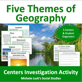
Five Themes of Geography Centers Investigation Activity
Investigate the Five Themes of Geography with this interactive centers activity. Each center invites students to further investigate one of the themes (Location, Place, Movement, Regions, Human-Environment Interaction) through mapping, reading, and skills practice. All materials (except atlases) are provided (print on card stock and laminate for repeated use!). Resources include recent articles on various world events, maps, charts and other content-filled sources and require students to use
Grades:
6th - 10th, Higher Education
Types:
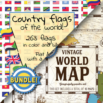
Country flags of the world & World map and continent - School Clip Art - BUNDLE
BUNDLE! Country flags of the world & World map and continent Product #1: Link to the productCountry flags of the world: 263 Country flags. HUGE clip art BUNDLE!This clip art contains 263 flags, in 2 forms (flat and with mast) in color and black & white line art.Contains all the flags of the countries of the world : 195 Countries.Look at the complete list of flags by downloading the previewA total of 1052 clips!Included:263 color flag (flat) clip art flag set- PNG format263 B&W flag
Grades:
PreK - 12th, Higher Education, Adult Education, Staff
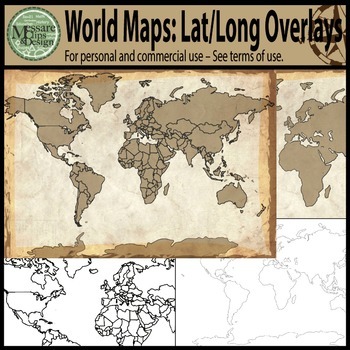
Maps: The World w/ Longitude & Latitude Overlays {Messare Clips & Design}
Sharpen your map skills!
This hugely diverse set of World Maps with Longitude and Latitude Overlays contains 25 individual high resolution graphics. All maps are shown in the thumbnail. There are 10 individual Latitude and Longitude Overlays that will provide you a wide range of uses.
There are two Latitude & Longitude scale variations used in the 10 overlays. One scale uses 30 degree intervals and the other uses 15 degree Latitude and 20 Degree Longitude intervals.
(Not all overlays de
Grades:
PreK - 12th, Higher Education, Adult Education
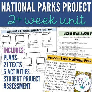
National Parks Spanish Speaking World Project Unit Readings + PBL Activities
Are you looking for an engaging Project Based Learning Unit for Spanish? This 13+ Day unit includes 21 readings about National Parks in Central and South America along with pre reading, during reading, and post reading activities to prep your students for a Spanish PBL project of planning a trip to a National Park. This Spanish Unit is designed around the National Parks of the Spanish Speaking World! This unit covers 1 National Park in each Spanish speaking country in Central, South America, the
Subjects:
Grades:
7th - 12th, Higher Education, Adult Education
Types:
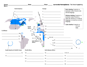
Monde Francophone World Map French-Speaking Countries
Overview: Printable map to label French-speaking countries. Includes answer key. Thirty-seven countries and/or territories listed. Objective: Identify French-speaking countries and territories by labeling a world map.Estimated Time: 10 to 30 minutes (depending on how the teacher would like to enrich it)Suggested/Possible Sequence:1. Students brainstorm or make a list of countries they already know. Teacher verifies student lists.2. Students then use textbooks or maps to identify the countries sh
Subjects:
Grades:
5th - 12th, Higher Education, Adult Education
Types:
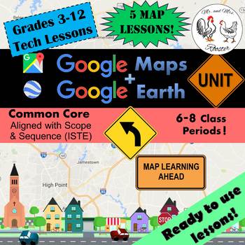
Google Maps Unit Lesson Plan Bundle - STEM Technology Lessons
Google Maps and Google Earth Unit will have your students using Google Maps and Google Earth to the maximum potential! Student and Teacher tutorials are included! (Grades 3-12)Made for use with:PCMacChromebookAll resources are organized for assigning through Google Classroom!In this unit, you and your students will explore the earth using Google Maps, Google Earth, Google My Maps, Street View, Ocean View, Sky and Space View, Time-Travel, Historical Timeline, Sunlight Model, Flight Mode, and go o
Grades:
3rd - 12th, Higher Education, Adult Education, Staff
Types:
Also included in: Middle and High School STEM and Technology Curriculum
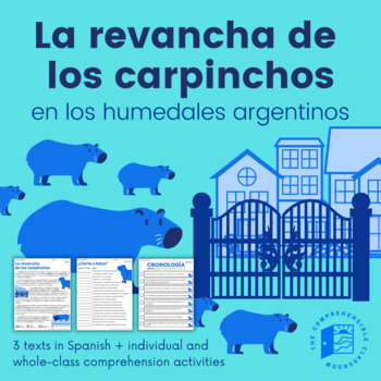
Capybaras' Revenge (Current Events) - 3 versions + activities in Spanish
La revancha de los carpinchos is a current event from 2021 in the suburbs of Buenos Aires, Argentina. Due to habitat loss, capybaras have invaded private, gated communities in search of food. But, who are the real invaders?This resource features three versions of La revancha de los carpinchos, all written in Spanish: Básico, Intermedio, and Avanzado. The Básico text will be a good fit for students that are nearing the end of their first year of Spanish, particularly students that have completed
Subjects:
Grades:
7th - 12th, Higher Education
Geography Pre-assessment/Post-assessment Beginning of Year (Easel Act. Included)
This 80+ question assessment is a great way to evaluate what your students know going into the school year, what they have learned during the first semester as well as what knowledge and skills they have gained by the end of the school year. Why waste precious time creating a thorough and effective test when it has already been done for you? Use this clean and well-put-together assessment over and over again throughout the school year to assess your students.Comes with questions, a student answe
Grades:
6th - 12th, Higher Education, Adult Education
Types:
Also included in: Build A Bundle for Georgianne B
Latin American Independence: A Trip Through Movements
Latin American Independence: A Trip Through Movements can be used as a Centers Activity or as a Response Group Activity in which students gather information from the provided information cards to examine the different movements of the early 19th Century that brought independence to Central and South America. Student handouts and wrap-up questions are provided. Includes many images as well as significant dates, facts, and people of the events. Independence Movements CoveredHaitiMexicoGran Colo
Grades:
7th - 12th, Higher Education
Types:
Also included in: Modern World History Interactive Lessons Bundle Walking Tours & More

The United Nations - PowerPoint and Keynote Presentation
The United Nations - PowerPoint and Keynote PresentationThis presentation is available in both PowerPoint and Keynote.This presentation explores:What is the United Nations?Who finances the UN?What are the main UN bodies?General AssemblySecurity CouncilSecretary GeneralThe SecretariatEconomic and Social Council (ECOSOC)International Court of Justice (ICJ)Other international organizationsThese presentations are suitable for older students, upper elementary, high school, and above.For a PowerPoint
Grades:
8th - 12th, Higher Education, Adult Education, Staff
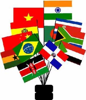
Developing Countries- Text and Exercise Sheets
Developing countries are the poor countries of our world. While most of them are located in many parts of Africa and Asia, some countries in South and Central America are also referred to as developing countries. About 70% of the world’s 7 billion people live in underdeveloped countries.
Contents : 9 pages
-Introduction
-GDP of selected countries
-Characteristics of developing countries
-Exercises
-Key
The sample contains a complete non-printable preview of the whole module (text- and works
Subjects:
Grades:
6th - 12th, Higher Education, Adult Education
Types:
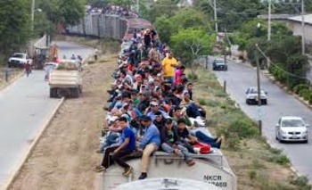
Immigration from Central America, and DACA
This was updated in January 2021 to include info about President Biden's policy towards Central America. 162 teachers have purchased this "Central America" product. This power point serves as an introduction to the border crisis whereby massive amounts of migrants / refugees from Central America have been streaming across the southern border of the USA. This issue sparks significant controversy, and much debate as to why these migrants are coming here, and what we should do about it. DACA is r
Subjects:
Grades:
9th - 12th, Higher Education, Adult Education
CCSS:
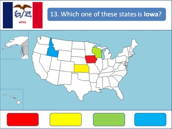
Powerpoint Game: United States Geography
A 50-question, interactive quiz to test your students' knowledge on the fifty states of the United States of America. Simply click on the corresponding color to make your guess! Each of the state's respective flags are shown for additional learning about the USA.This product is designed specifically to be engaging for your students. Your students will love the fun sound effects and the opportunity to get up and walk around in order to tap the on-screen buttons.This product is best used with a Pr
Grades:
4th - 12th, Higher Education
Five Themes of Geography: Movement - The Classroom Edition
This lesson is designed to expand on the Five Themes of Geography lesson by focusing on the concept of movement. Student activities and discussion questions are spaced throughout the slide deck. At the end of this lesson, students will be able to identify:Reasons people move such as push and pull factorsHow goods move and the importance of transportation networksThe challenges faced with the movement of ideasAn exit ticket is also included. As well as a number of free resources found in the Spea
Grades:
5th - 12th, Higher Education, Adult Education
Types:
Also included in: Five Themes of Geography: 4 Lesson Classroom Bundle
Hispanic Heritage Month PowerPoint
Interactive PowerPoint about the Hispanic Heritage Month.Includes historical facts about Latin America and the origin of the celebration, HW assignments, games and group activities.Click HERE for my curriculum resource guideCan be broken down to introduce different facts, as a warm up or closing throughout the Hispanic Heritage month52 slides totalMore details in previewAppropriate for Middle and High School StudentsCan be used in Social Studies and World Language classYOU MAY ALSO LIKELa Musi
Grades:
7th - 12th, Higher Education, Adult Education
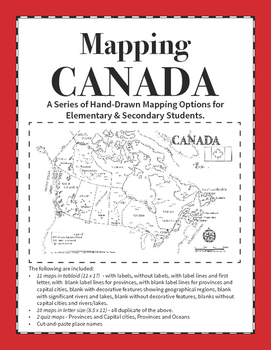
Mapping Canada Series
This is a resource that includes 12 different versions of the map of Canada in both letter and tabloid format and is designed for differentiated learning. These maps can be used for primary grades to learn place names, for intermediate and upper grades as a base map for mapping trade routes, resources, or illustrating concepts that require mapping. The maps are hand drawn and designed so that oceans are easy to identify.
There is also two choices for mapping assignments, depending on the grade,
Grades:
3rd - 12th, Higher Education
Types:
Also included in: Mapping Canada Bundle

World History PowerPoint #1: World Geography
Visually-Stunning PowerPoint with Rock-Solid World History!
I teach AP World History but my PowerPoints are used by all the World History teachers in my school. It’s perfect for whatever level you teach.
This 90 slide PowerPoint carefully explores world geography. The PowerPoint includes class notes, high resolution photographs, and maps. This PowerPoint would be perfect for grades 6 through 12.
Topics covered in this PowerPoint include:
I. Big Geography
II. Map Projections
III. The Americas
Grades:
5th - 12th, Higher Education
Types:

Japanese Country Study Japan History And Culture Japan Study Unit Packet
Social Studies Geography Pack to study Japan and its culture, history, SAMURAI, NINJA, GEISHA, ORIGAMI, SAKURA (cherry blossom), Japanese tea, language, Japanese ancient toys and clothes, Japanese emigration to Brazil, customs, their contribution to the world, and the facts with all the main information gathered.Great for Cultural / Social Studies Centers, doing it as a special workgroup, a Japan Exhibition/ Exposition, or an introduction to this topic! - it can be done individually, in pairs, o
Subjects:
Grades:
3rd - 12th, Higher Education, Adult Education, Staff
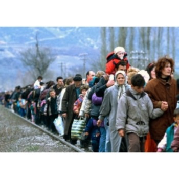
Refugees- Text and Exercise Sheets
Refugees are people who have fled from their country because of wars, political or religious conflicts, or because they fear persecution from governments. Displaced people have lost their home but they remain in their own country.
Contents : 8 pages
-Introduction
-Who is a refugee
-Major refugee movements in history
-Exercises
-Key
The sample contains a complete non-printable preview of the whole module (text- and worksheets)
Subjects:
Grades:
6th - 12th, Higher Education, Adult Education
Types:
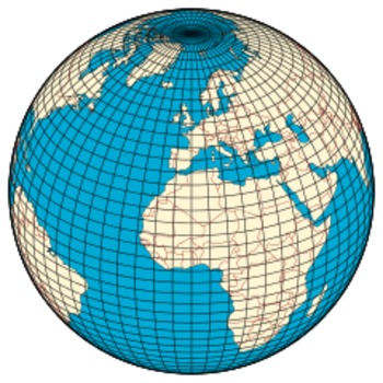
Latitude, Longitude and Time Zones - Text and Exercise Sheets
Longitude and latitude are imaginary lines that circle the Earth. They are used to exactly pinpoint where a person or object is located. These lines are on maps and measured in degrees. Each degree is divided into 60 minutes and each minute has 60 seconds.
Contents : 9 pages
-Text
-Exercises
-Key
The sample contains a complete non-printable preview of the whole module (text- and worksheets)
Subjects:
Grades:
6th - 12th, Higher Education, Adult Education
Types:
Showing 1-24 of 756 results


