332 results
Preschool geography assessments
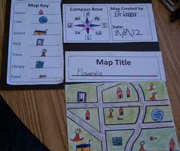
Map Skills for Kids
This six-page document contains blank copies of a town map, a compass rose, map title, and map key. Students will demonstrate their understanding of cardinal and intermediate directions when filling out the compass rose. Students can show their creativity when coming up with a map title and map key symbols. The map key includes symbol words and then the students can draw their own symbols. Then students place their symbols on the map. An example of a students finished map can be seen in the
Subjects:
Grades:
PreK - 6th
Types:
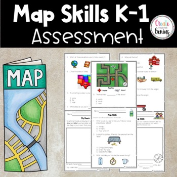
Map Skills Assessment| Beginners
⭐️✅✏️This NO PREP resource is perfect for little learners to show what they know about Map Skills ❤️ TEKS & Common Core standards for Kindergarten and First grade Students. Bonus worksheets and Answer Keys included!➡️ Key spatial terms, including over, under, near, far, to describe relative location➡️ Locate places on the school campus and describe their relative locations ➡️ Identify and use geographic tools that aid in determining location, including maps and globes.➡️ Create and use simp
Grades:
PreK - 2nd
Types:
Location Words Practice Pages
Standards based Kindergarten practice pages.
Use for morning work, bell work, independent practice, homework, centers, or small groups!
K.SS.G.01 Identifies and correctly uses terms related to location, direction, and distance.
These practice pages allow students to use the words up, down, left, right, near, and far to describe location, direction and distance. Another page allows practice with the cardinal directions: North, South, East, and West.
NO PREP! Simply print and use.
(C) Never Era
Subjects:
Grades:
PreK - 3rd
Types:
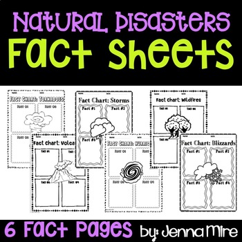
Natural Disasters Fact Sheets
This document is a simple and quick way for your students to take notes on 6 well know natural disasters.Includes:Fact sheets for- Tornadoes, Volcanoes, Storms, Hurricanes, Wildfires, and BlizzardsEach sheet calls for the student to write 4 facts on a natural disaster
Subjects:
Grades:
PreK - 9th
Types:
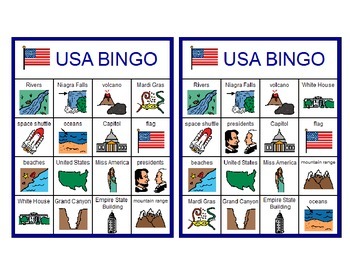
USA Bingo!
Looking for a fun way to close that patriotic unit? Look no further! This is a fun way to go over vocabulary related to a unit on the United States. My students love Bingo games and it is a fun and easy way to differentiate learning in my Special Education classroom. Set includes 8 Bingo boards (all different) and one set of calling cards. Great for Memorial Day, Fourth of July and Veteran's Day.Vocabulary includes landmarks, geography of US and holidays:United StatesNiagra Fallsflagriversm
Subjects:
Grades:
PreK - 7th
Types:
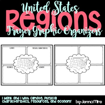
United States Regions Frayer Graphic Organizer
The Frayer Model graphic organizer is a chart with four sections, which can hold facts about each region's climate, physical characteristics, resources, and economy.
In the middle there is a blank line, I had the students write the region we were working with on that line. Then the students colored the region we were working with on the small United States map in the middle.
This document also comes with a blank Frayer model graphic organizer that you can use incase you are covering different
Grades:
PreK - 5th
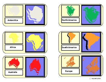
"Continents Map Match"/Flashcards for Autism
Have students use the variety of map boards to sort/match continents. Students will create a completed map of continents after completion of task. Prompts of color matching, identical matching, shadow matching, and blank map template boards are included. Flahcards with labeled picture of each continent are also provided to supplement for total learning and memorization of all 7 continents.
*Updated with a color your own continents map set!
"Continent Map Match" for Autism by Inspired by Evan is
Grades:
PreK - 5th
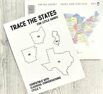
Trace the States For Little Hands Easy Tracing Classical Conversations Cycle 3
Finally! A simple way to introduce geography and map tracing to littles! This was a resource that I needed for my Classical Conversations class of ABC's but also for my littles at home. This 10 page digital printable set features the 50 US states divided into groups of 5 per the CC Cycle 3 curriculum. Please Note: -This is a digital file- no physical product will be delivered. -The purchase of this certificate is good for unlimited copies for one (1) family. I ask that in purchasing you do not
Subjects:
Grades:
PreK - 6th
Types:
Destrezas cartográficas con Google Earth™: Haz un mapa del mundo Gr. PK-2
Completa tus destrezas cartográficas haciendo un mapa del mundo con este atractivo recurso. Aprende sobre los globos terráqueos, las coordenadas geográficas, y las líneas de latitud y longitud. Explora el ecuador y el Primer Meridiano, y después todos los 7 continentes y 4 océanos que componen el Mundo. Este recurso, escrito para los grados de Pre-Kindergarten a Segundo grado, está dividido en tres secciones: Un pasaje de lectura donde se aprende todo el contenido basado en el currículo, seguid
Subjects:
Grades:
PreK - 2nd
Types:
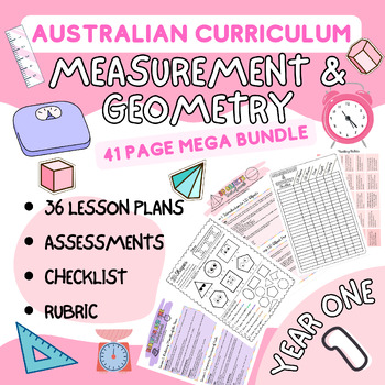
Year 1 Math Shape, Time, Location, Length & Capacity Unit plans and Tests
"Engage your Year 1 students with this comprehensive teaching and assessment bundle, designed to cover multiple key concepts aligned with the Australian Curriculum Mathematics Standards. With 41 pages of engaging lessons and assessments, this bundle is your one-stop solution for addressing ACMMG022, ACMMG020, ACMMG021, ACMMG023, and ACMMG019 standards.""Our bundle includes:- **Recognise and Classify Shapes:** Dive into the world of 2D shapes and 3D objects with lessons and assessments focused on
Subjects:
Grades:
PreK - 2nd
Types:
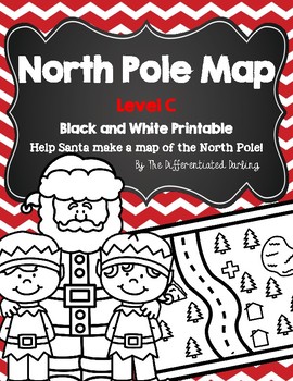
North Pole Map Black and White Level C
"North Pole Black and White Map Level C" is a fun, educational holiday activity. Students will engage in social studies concepts. This version allows students to color the pictures. To complete this activity, each student will need a copy of the packet, crayons or markers, pencil, scissors, glue, and a large poster size piece of paper. I have used both poster board and butcher paper.
Students at this level should be able to:
- directional words: right and left; above and below
Have fun!
Grades:
PreK - 2nd
Types:
Destrezas cartográficas con Google Earth™: Cómo leer un mapa Gr. PK-2
Descubre cómo leer un mapa con este atractivo recurso. Aprende sobre los símbolos y direcciones y cómo se usan para la lectura de mapas. Este recurso, escrito para los grados de Pre-Kindergarten a Segundo grado, está dividido en tres secciones: Un pasaje de lectura donde se aprende todo el contenido basado en el currículo, seguido de una prueba de comprensión, y finalmente un crucigrama y búsqueda de palabras. Se incluye una clave de respuestas. Los conceptos científicos se presentan en una form
Subjects:
Grades:
PreK - 2nd
Types:
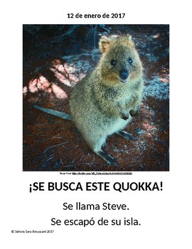
Comprehensible Input Spanish Unit: "Se busca un quokka" for beginner level
This is a Spanish unit is over an endangered species called quokkas. It takes a true story of an escaped quokka and makes it into a very memorable Spanish story. The story is delivered in the approach of Comprehensible Input, meaning it is very easy to understand and teach. I used these ideas with my 1st though 5th graders but it can be adopted to high school or even adults.
Included:
-Powerpoint with ¿Qué son los quokkas? and ¡Se busca un quokka! stories and activities
-Wanted poster for cl
Subjects:
Grades:
PreK - 12th, Adult Education
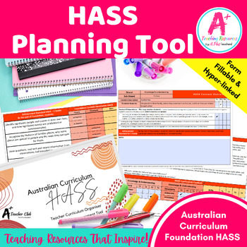
Australian Curriculum Organiser HASS Foundation
Introducing our Fantastic Teacher Curriculum Planning Tool and Student Checklists Kit, designed to streamline your preparation and organisation for the upcoming academic year. Facilitate seamless planning, teaching, assessing, and reporting with our Australian Curriculum Organiser HASS Foundation.Now updated to version 9 of the Australian Curriculum.The Australian Curriculum Organiser HASS Foundation serves as a user-friendly tool for teachers seeking efficient planning, teaching, and assessment
Subjects:
Grades:
PreK - K, Staff
Also included in: Foundation Australian Curriculum Planning Bundle
Label the Globe - FREEBIE
Standards based Kindergarten practice page.
K.SS.G.03 Locates North Pole, South Pole, and Equator.
Get your students familiar with global basics--north pole, south pole, and equator. This worksheet could be used as a launching point for a polar bear/penguin research project, or a discussion of global temperature patterns. Where is the earth warmest? Coldest? Why?
Use for morning work, bell work, independent practice, homework, centers, small groups, or assessment!
NO PREP! Simply print and us
Subjects:
Grades:
PreK - 3rd
Types:
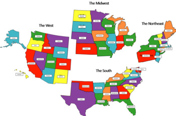
Regions of the USA Geography Activities (Preschool and Special Education)
Print and laminate all the pages.Cut out the labeled states so they are individually cut-out.Have your students match those individual cut-out states to their unlabeled state on the map.Cut out the state capitals and have your students match the capitals to the correct state.
Grades:
PreK - 6th
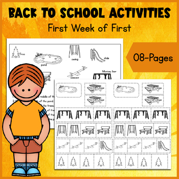
Map Skills Mastery: Engaging Performance Tasks for First Grade
Take your first-grade students on an exciting journey into the world of maps with our "Map Skills - Performance Tasks" pack. Designed to reinforce map skills and foster creativity, this pack includes two performance tasks that will challenge and engage young learners.Through hands-on activities and interactive tasks, students will develop essential map-reading skills such as understanding symbols, interpreting legends, and following directions. Each performance task provides a real-world context
Subjects:
Grades:
PreK - 5th
Types:
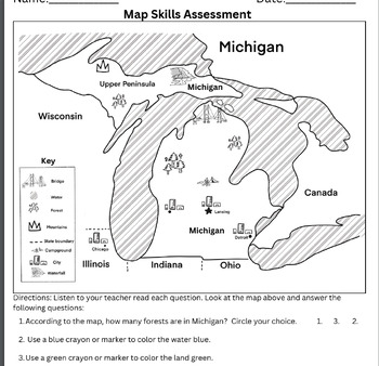
A Map Skill Assessment/Resource for Lower Elementary, GSRP, K-2 Michigan State
This assessment is designed to evaluate students' skills in reading maps and identifying simple geographical features, with a focus on Michigan and its surrounding states and lakes. Through this assessment, students will demonstrate their ability to locate and identify bodies of water and land.The assessment can be used to assess the following key components:1. Map Reading Skills: Students will be presented with a map depicting Michigan and its surrounding states. They will be required to demons
Subjects:
Grades:
PreK - 2nd
Types:
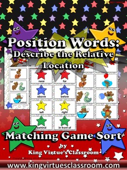
Position Words: Describe the Relative Location Matching Game Sort
Position Words: Describe the Relative Location Matching Game Sort - Near, Far, Above, Below, Left, Right, Behind, and In Front Of - King Virtue's Classroom
Students will love applying what you've taught them during your Map Skills unit with this matching game sort. It's a great tool to use to review position words (near, far, above, below, left, right, behind, and in front of). Fun and engaging!
This set includes:
8 header cards
8 sorting cards
1 page answer key
Enjoy!
:)
Copyright © King Vi
Grades:
PreK - 1st
Types:
Also included in: Social Studies MegaBundle - King Virtue's Classroom
Nicky and the Rainy Day Comprehension, and Vocabulary
This center includes 4 different activities based on the book; Nicky and the Rainy Day (from the Journeys Kindergarten reading series).
The first section are 8 vocabulary cards for words found in the book.
The second section of this packet is a set of 20 vocabulary word wall cards. There are pictures and words included on these pages. One page is a set of 4 words from the book and the the other 16 cards are biomes and landforms (some of which are found in the book.)
The third activity is
Subjects:
Grades:
PreK - 1st
Types:
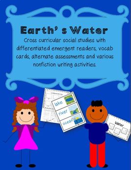
Bodies of Water (Landforms)
This unit is a great addition to the Landforms Unit - 50 pages
https://www.teacherspayteachers.com/Product/Landforms-3075919
Students will identify different places that hold water on Earth. There are vocab cards, alternate assessments, and nonfiction writing activities that will be a great follow up to the emergent reader. There are 3 different levels of the emergent reader to choose from. Each booklet comes with 11 pages.
Subjects:
Grades:
PreK - 2nd
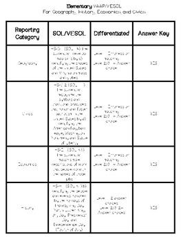
VESOL/VAAP History Elementary Worksheets* ASOL, Adaptive, Special Needs
This product includes worksheets for ELEMENTARY school VAAP. It covers the following four standards (see below). Each standard comes with 1 or more worksheets. You may differentiate it how you'd like (cut and paste, circle, dot, match the correct answer) depending on your students' abilities. Worksheets come in errorless (one answer option) up to 3 answer choices. Answer key is included. GeographyHS-G 1 (SOL 1.4) The student will develop map skills by c) identifying the shapes of the United St
Subjects:
Grades:
PreK - 4th
Types:
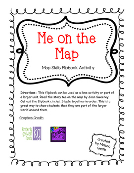
Me on the Map - Map Skills Activity
This flipbook can be used as a lone activity or part of a larger unit.
I usually begin this lesson by reading the story Me on the Map by Joan Sweeney. Then the students complete their own Me on the Map book to show that they are part of the larger world.
Grades:
PreK - 4th
Types:
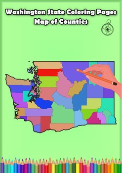
Washington State Coloring Pages Map of Counties Highlighting Rivers Lakes Cities
Click Here>>> for more interactive resourcesWashington State Coloring Pages Map of Counties Highlighting Rivers Lakes CitiesOpen your mind to Washington colorful adventure with these exciting coloring pages! Explore and bring each Washington county to life with these detailed and engaging illustrations. Each page offers a unique opportunity to explore Alabama's geography, highlighting its rivers, lakes, and key towns.These coloring pages are ideal for anyone interested in discovering th
Grades:
PreK - 12th, Higher Education
Types:
Showing 1-24 of 332 results


