96,000+ results
Earth Day geography pdfs
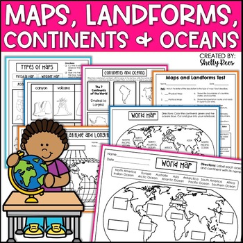
Maps & Globes Continents Oceans Map Skills Worksheet World Map Activity Landform
Interactive Notebooks are a wonderful tool for providing hands-on experiences for learners. This Maps, Continents, and Landforms Interactive Notebook is no exception! The packet is easy to use for both student and teacher. ✅ Click HERE to SAVE 20% on this resource with the Maps, Continents, and Landforms unit and poster bundle!✅ Click HERE to SAVE even more by buying ALL 15 Social Studies Interactive Notebooks and Mini Units in one Year-Long Bundle.Click on the PREVIEW button above to see all t
Grades:
3rd - 5th
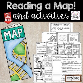
Map Skills- Reading a Map and Activities
✅⭐️Are you studying maps in your primary classroom? If so, then you will love this all inclusive NO PREP set! Not only does it go over cardinal directions and how to read a map, it also reviews parts of a map such as the map key, title, and compass rose. It is a perfect lesson to include in your social studies geography unit!⭐Please know that this resource is a PDF. It is great for distance learning if you are sending home packets or are able to transfer it to Google Slides™ to use in Google Cla
Subjects:
Grades:
K - 5th
Types:
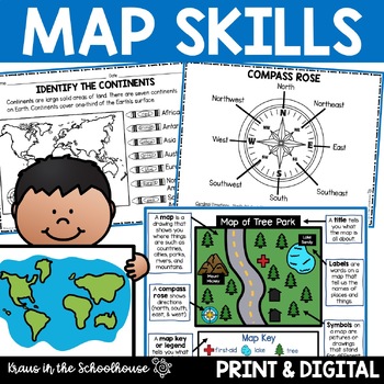
Map Skills Activities and Worksheets Maps Globes Landforms Continents & Oceans
Make learning fun for your students when teaching map skills. Map skills topics include maps, globes, continents, oceans, landforms, water forms, suburban, urban, rural, directions, and more. This resource is perfect for second, third, and fourth grade students. Digital activity included using Easel by TpT.These activities can be used during whole group instruction, independent work, and center time. Easy-to-use activity sheets with clear directions and answer keys are provided.HERE'S WHAT YOU'L
Grades:
2nd - 4th
Types:
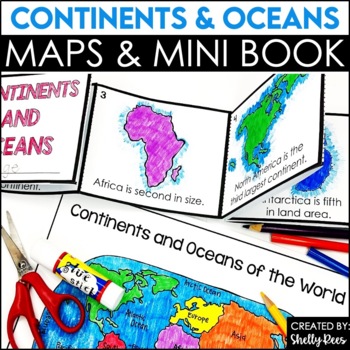
Label Continents and Oceans Activities | Blank World Map Printable 7 Continents
Students LOVE learning about the Continents and Oceans of the World with these fun hands-on activities, including a 7 continents mini-book, blank world map, coloring pages, and even a label continents and oceans quiz. This NO PREP packet is easy for teachers and engaging and hands-on for students!Please click on the preview button above to take a look at everything included.This resource includes:7 Continents Mini-BookColoring Pages/Posters of Each ContinentBlank World MapLabeled World MapPost-U
Subjects:
Grades:
2nd - 5th
Types:
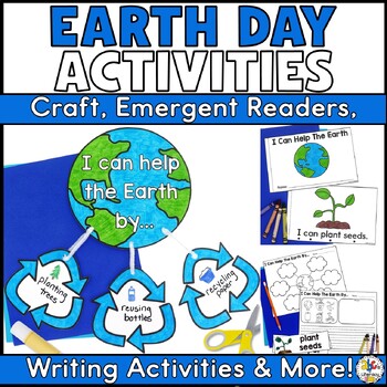
Earth Day Activities - Craft, Emergent Reader, Writing Prompts, Vocabulary Cards
Get your students to think, read, and write about how they can help the Earth with this bundle of fun, low-prep Earth Day Activities! In this packet, you will receive an Earth Day craftivity, writing prompt with a brainstorming web and vocabulary cards, two emergent readers for different levels, and an Earth Day crown that your students can make.What's Included:I Can Help The Earth Emergent ReadersYour students will read about some of the many ways that they can help the Earth in these printabl
Subjects:
Grades:
K - 2nd
Types:
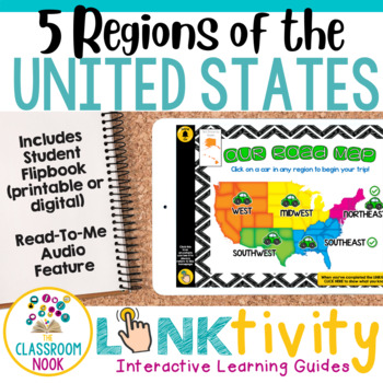
5 Regions of the United States LINKtivity® (Geography, Climate, Landforms, MORE)
Take your students on an exciting virtual road trip through the five regions of the United States with our digital LINKtivity® Interactive Learning guide! Our interactive guide offers a fun and engaging way for students to explore each region's climate, landforms, bodies of water, and popular tourist destinations.Designed for upper elementary classrooms, our easy-to-navigate digital guide requires minimal teacher prep and is entirely student-controlled, allowing for self-paced learning. With a v
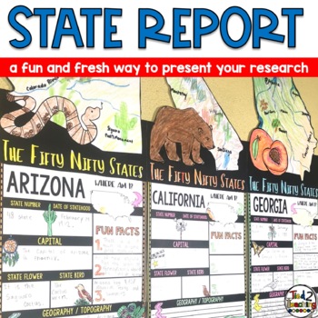
State Reports Research Project Template | Informational Report Writing | Report
These State Report Information Report Pennant Banners come with 50 amazing pennants for displaying your research project on one of the fifty nifty United States. Perfect for any time of the year, these pennants are a great way to supplement your social studies instruction as well as help your students organize their research. Save time by integrating your social studies and ELA instruction! In addition to being excellent informational organizers for your students, these state pennant banners a
Subjects:
Grades:
3rd - 5th
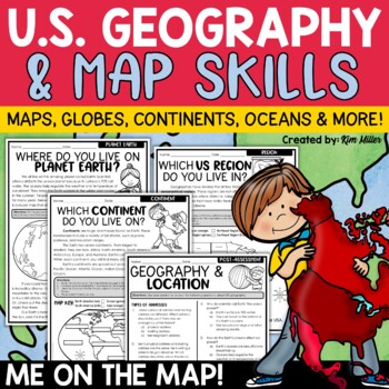
US Geography Map Skills | Maps and Globes, Continents, Oceans, Me on the Map
Do your students struggle with general map skills, their location on a map or globe, or naming our continents and oceans? This popular U.S. geography and map skills packet will help your students master these mapping skills and more with ease. Fun for students and super helpful for teachers!This United States geography and map skills resource provides an easy and fun way for students to develop a better understanding of where they live in the world, as well as key geography skills and concepts.
Subjects:
Grades:
3rd - 5th
Types:
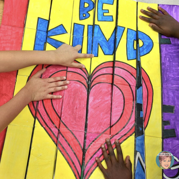
"Be Kind" 3D Collaborative Poster | Fun End of the Year Kindness Craft Activity!
Promote kindness among your students and let them work together to create this one-of-a-kind 3D collaboration poster! Great activity for Kindness Day, Valentine's Day, Harmony Day, or every day!!Art with Jenny K.'s Be Kind 3D Collaboration Poster is easy for teachers and fun for kids and makes the perfect kindness activity for your class! This project is a "3-way" agamograph (3 images spliced together) and a collaboration poster mixed into one. An agama what?? An agamograph is a picture that mor
Subjects:
Grades:
1st - 8th
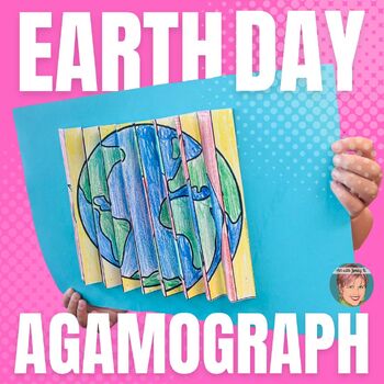
Earth Day Agamographs | Makes a Great Summer Craft Activity!
What's an Agamograph? A picture that changes from one to another when you look at it from a different angle. It's hard to say but easy to do! They are super fun, unique activities to easily integrate art into your classroom this Earth Day. They are engaging for students, easy for teachers, and have a high 'Wow!' factor. So, this year, try it out and add a new "twist" to your Earth Day activities!This resource was created for Earth Day, but Earth Day is really every day...so this is a useful reso
Subjects:
Grades:
3rd - 9th
Types:
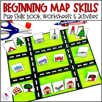
Map Skills Worksheets Book Lapbook - Reading a Map, Cardinal Directions, Compass
Are you looking for an engaging first grade map skills resource to add to your social studies curriculum? This engaging resource is what you need to teach mapping skills like cardinal directions, compass rose, and map skills. Students will love the map skills books and the hands-on build a town map. Finally, students can demonstrate their learning with the final map skills lapbook. Use this resource for:first gradesecond gradewhole class instructionsmall group instructionpartner workStudents wi
Subjects:
Grades:
K - 2nd
Types:
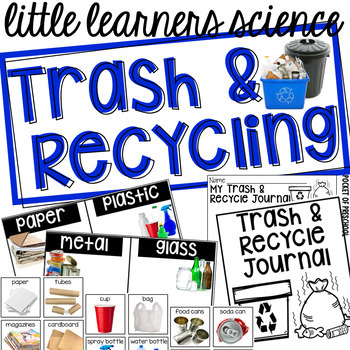
Trash and Recycling - Science for Little Learners (preschool, pre-k, & kinder)
Investigate trash and recycling through hands on explorations in your classroom! Use a small table or a small bookshelf to create an engaging science center full of hands on materials for students to explore and investigate using the included printables, vocabulary cards, book, anchor charts, and discovery pages (science journal pages)! Included is a read aloud book, Reuse It! Recycle It! for circle time, anchor charts, and a suggested book list. There is even a half page note you can send home
Subjects:
Grades:
PreK - K
Types:
Also included in: Preschool, Pre-K, and Kindergarten Complete Curriculum BUNDLE
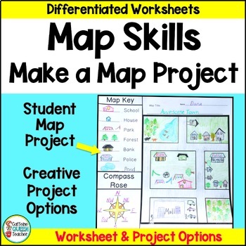
Map Skills Make Your Own Map Project with Map Worksheets and Map Activity
Create your own map using this fun, creative activity to learn about reading maps. Students love designing maps with towns, cities, parks, and islands. They complete practice worksheets and create their maps. This project based learning activity is a hands-on way to interact with maps.You receive:4 map worksheets - becoming progressively more difficult2 compass rose pages for students to complete (choose the level you need)6 different "Make Your Own Map" project pages to choose from3 differentia
Grades:
2nd - 4th
Types:
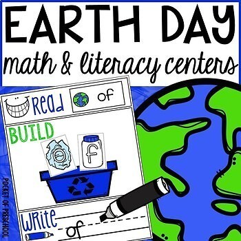
Earth Day Math and Literacy Centers for Preschool, Pre-K, and Kindergarten
Earth Day centers are loaded with fun, engaging, hands-on activities to help your students build math and literacy concepts! Now includes two fine motor activities, one writing center, six literacy activities, and eight math activities.Literacy skills covered are letter identification, letter formation, beginning sounds, sight words, vocabulary words, syllables, and writing/journaling. Math skills covered are one-to-one correspondence, counting, 2D shapes, 3D shapes, counting to 100, measureme
Subjects:
Grades:
PreK - K
Types:
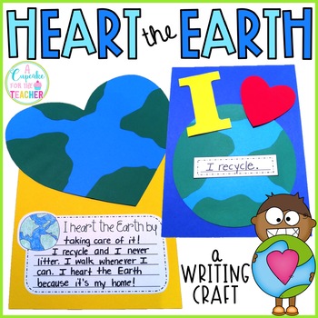
Earth Day Crafts | Earth Day Activities
Earth Day is in April! Celebrate all month long with your littles by creating three Earthy craftivities and completing a writing prompt or two! ;)Included:*Heart the Earth -patterns & pics*I Love Earth -patterns & pics*Mosaic Earth -patterns & pics*7 writing prompts*create-a-word*word searchDownload the preview for a pic of what's included!I hope you love it! Enjoy!! :)
Subjects:
Grades:
K - 3rd
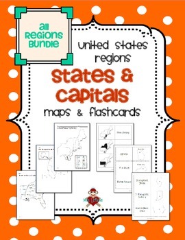
All US Regions States & Capitals Maps
Save $3 if you buy all the regions at once in this packet! Note that this product includes both MAPS and FLASHCARDS for the states & capitals of the five regions of the US.
This product contains 3 maps of each of the five regions of the United States (15 maps in all). Check out the FREE Northeast region set of maps.
• Study guide map labeled with the states and capitals (which can also be used as an answer key)
• Blank map with a word bank of the states and capitals
• Blank map without wor
Subjects:
Grades:
3rd - 5th
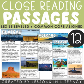
Landforms Close Reading
***For a Goggle Classroom version of this product, click here!Close Reading: Landforms- This 66 page product contains 12 landform-themed nonfiction close reading passages with evidence-based questioning sheets to go with each. Each landform has a cover page with a definition, close reading article in color + black/white, and comprehension sheet. Great to use as a whole group lesson or in small group reading. The articles are about the following topics:-plateau-plains-mountain-coast-canyon-valley
Subjects:
Grades:
1st - 4th
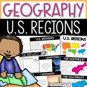
US Geography Worksheets | 5 Regions of the United States Lessons and Activities
Your students will love learning about the 5 regions of the United States with this jammed pack US Geography resource! This resource is filled with everything you need to teach your upper elementary students about the regions of the United States in a fun and meaningful way. Your students will learn that each of the US regions have similar characteristics like climate, landforms, culture, history, and landmarks. This unit includes easy to follow lesson plans, hands-on foldable to use on their o
Subjects:
Grades:
2nd - 4th
Types:
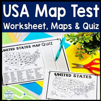
United States Map Quiz & Worksheet, USA Map Test w/ Practice Sheet, US Map Quiz
United States Map Test: Easy-to-read US Map Quiz and Practice Sheet will help students learn to correctly identify and locate all 50 states. This product also includes a labeled USA Map in full & half-page design and blank USA map for practice. Learning how to correctly identify all 50 states on a map of the United States is a critical skill for students of all ages.US Map Quiz (US Map Test) is ready to print-and-go to test knowledge of the USA Map and 50 states. This map of the United State
Grades:
2nd - 8th
Types:
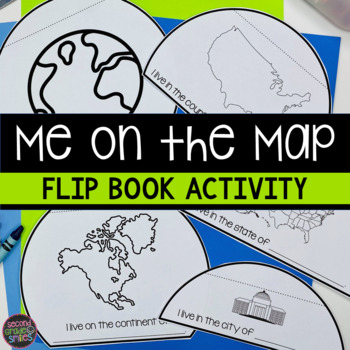
Me on the Map Flip Book - Map Skills Geography Activity
This Me on the Map flip book is the perfect easy-prep project to accompany the book Me on the Map by Joan Sweeney or any beginner map study. Students will identify the planet, continent, country, state, and city or town they live in and begin to understand the relative sizes of each.Prep is simple! Copy a set of the included booklet pages for each student. Students write in the missing words, cut out each semi-circles, and stack them from smallest to largest. Staple the top to complete the fl
Subjects:
Grades:
1st - 3rd
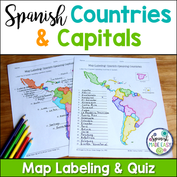
Spanish-Speaking Countries and Capitals Maps and Quiz
This is a map labeling activity and matching quiz over the 21 Spanish-speaking countries and capitals. Students will label and identify the 21 Spanish-speaking countries and capitals in Spanish. This is a great activity when reviewing Spanish-speaking countries and capitals or Spanish geography. Makes a great coloring page. Answer keys are included.
Countries included:
España, México, Costa Rica, El Salvador, Guatemala, Honduras, Nicaragua, Panamá, Cuba, La República Dominicana, Puerto Rico, Ar
Subjects:
Grades:
6th - 12th
Also included in: Spanish Countries and Capitals Geography Bundle
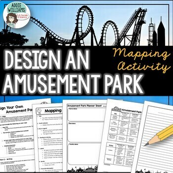
Map Skills Mapping - Design Your Own Amusement Park
Review the basics of mapping with this fun and engaging activity! Using map skills learned in class, students must design a map of their own amusement park and include mapping elements such as scale, a legend, symbols, and more! They must also write about and explain their "best" or most amazing ride. This activity has always been one of my students' favorite projects! It's a fun and unique way to wrap up a mapping unit or a fun project for social studies!I encourage the students to pick a them
Subjects:
Grades:
6th - 9th
Types:
One Plastic Bag Upcycled Bracelet Read Aloud STEM Challenge Earth Day STEM/STEAM
Integrate STEAM in your classroom and teach students about recycling! Learn about recycling, reducing, and reusing! Students design and build their very own Upcycled Plastic Bag Bracelet! After making their bracelets, students use the STEAM process to think of another way plastic bags can be repurposed. Finally, students write about ways they can recycle, reduce, and reuse in their own school and community.Excellent activity for Earth Day!Connect to a Read Aloud: One Plastic BagThis STEAM Projec
Subjects:
Grades:
2nd - 5th
Types:
NGSS:
K-2-ETS1-2
, K-2-ETS1-3
, K-2-ETS1-1
, 3-5-ETS1-3
, 3-5-ETS1-1
...
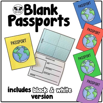
Blank Passport Template
Your students can travel around the world (or the classroom!) with these blank passports. Each passport template prints on one page and is folded to create a booklet with a cover, information page, visa / stamp page, and backing.
♢ Generic, non-country specific
♢ 5 cover colors: yellow, blue, rust, green, purple
♢ Black & white version included
♢ PDF format
You might also like:
Classroom Passport Stamps
Case File Stamps
Thank you for stopping by my store! I appreciate all comments and
Subjects:
Grades:
Not Grade Specific
Types:
Showing 1-24 of 96,000+ results


