282 results
Geography pdfs by TpT sellers for TpT sellers
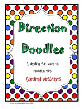
Cardinal Directions / Compass Rose
Your kids will enjoy practicing the cardinal directions using these doodles.
*Cover page
*Doodle sheet #1
*Direction sheet #1
*Doodle sheet #2
*Direction sheet #2
*You try it! doodle sheet
*You try it! direction sheet
*Credits
Subjects:
Grades:
2nd - 3rd
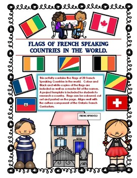
Les Pays Francophones du Monde Flag Project of French Speaking Countries
This activity contains the Flags of 28 French Speaking Countries in the world. Colour and Black and white copies of the flags are included as well as a master list of the names. A project template is included for students to research a country. Flags can be coloured, cut out and pasted on the page. Aligns well with the culture component of the Ontario French Curriculum. *Note this file was originally an Olympic Activity. If you already purchased it you can re-download the new file for free.
Subjects:
Grades:
3rd - 8th
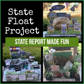
State Float Project
Get rid of your traditional (and boring) state report ideas and have your students think outside the box! This bundle includes: - Get to Know A State worksheet (where students can gather all the necessary information, - State Float Project sheet (that explains the project in detail, Scoring Rubric- Student samples. Please email me at FancyNancyin5th@gmail.com if you need the editable version.
Subjects:
Grades:
Not Grade Specific
Also included in: 5th Grade Social Studies Bundle
Me on the Map: A Communities Flip Book
This is a flip book targeted at second graders to help them understand the scope of the different communities that they belong to and the world around them!
Pages included in this easy-to-assemble flip book are:
+ Cover
+ What's A Community?
+ Home
+ School
+ Town/City
+ State (all 50 states included)
+ Country
+ World
There are different options for the Country and World pages, for those schools that can touch on religion and those that can't. (Ex: "He's got the whole world in His hands" and
Grades:
1st - 3rd
Learning the Continents - Facts, Puzzles, & Maps For All 7 Continents
**Newly Updated**
If you have previously purchased, please re-download this item!
Teach your students about the seven continents of the world in style! I created this huge packet to teach my second graders all about the continents in a fun, educational, and interesting way.
You Get... Seven 4-page packets for each continent. Each packet contains:
A cover page with map for students to color.
A short reading passage.
A "fun facts" section.
4 Comprehension questions to "test their knowledge".
And
Subjects:
Grades:
1st - 3rd
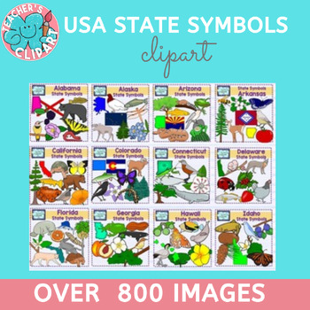
USA state symbols clipart BUNDLE Social Studies Clip art more than 800 images
Introducing our extraordinary USA State Symbols Clipart Bundle, a treasure trove of approximately 800 line art and colored graphics representing the unique symbols of all 50 states in the United States. Each graphic boasts a remarkable 300 dpi resolution, ensuring exceptional quality and detail.This comprehensive bundle is a valuable resource for educators, designers, and anyone with a passion for exploring the diverse cultural and natural heritage of the United States. Whether you're creating e
Subjects:
Grades:
Not Grade Specific
Social Studies Interactive Journals
*If you donate to my donors choose project I will match the amount with any products from my store! Follow the link HERE and send me an e-mail at tennisluvr4lyf@hotmail.com with your name and the products you choose from my store and I will send them to you!*
There are journal pages with corresponding standards listed. You will find activities to go with good citizens, rights and responsibilities, rules and laws, government and symbols, needs and wants, goods and services, buying, selling, savi
Grades:
K - 2nd
Urban, Suburban, & Rural Communities Activities - Grades 2,3 &4
Here are a few of the things that I do each year to teach my students about the 3 main types of communities people live in and some of their characteristics. This isn't a whole unit, but it has always been a student favorite in my class. If the engagement is high and they're begging for more, you know that you're doing it right!
In this fun activity bundle, you have:
-Full colored Center sign (if you choose to use any part of this as a center)
-Teacher Directions
-Community Characteristics
-Int
Grades:
2nd - 4th
The Amazing Race Template & Resources
Bring elements of The Amazing Race into your classroom and let your students compete on their own global journey! This resource includes a template with a guide on how I have implemented The Amazing Race activities in my classroom as well as more information on the show and ideas for puzzles/activities. A few examples and activity suggestions are included for inspiration. This activity can last one class period, a week, throughout a grading period, or even a semester!While these are in a Google
Grades:
Not Grade Specific
Native American Shelters (Aligned to Common Core)
This 36 page resource will help your students explore diverse Native American cultures. While focusing on Native American shelters, the different tribes and areas are introduced. Your students will learn about the Northwest Coast, Southwest, California-Intermountain, Great Plains, and Eastern Woodlands.
Grades:
2nd - 6th
Nonfiction Continents Book
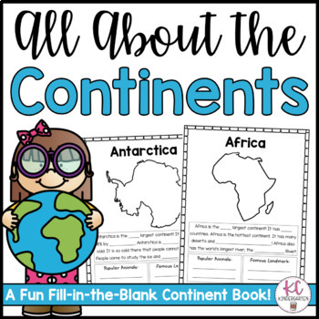
Your elementary students will love learning about the continents with this fun and simple nonfiction fill-in-the-blank continents book! Students can read independently and complete sentences or copy the answers from the board after learning!These nonfiction informational books include:1 Introduction Page: Lists all of the continents in order from largest to smallest.7 Continent Pages: Each continent includes a few quick facts as well as a space to write about a famous landmark and popular animal
Grades:
K - 2nd
USA States & Regions Assessments / quizzes (25 assessments)
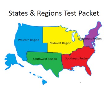
25 separate quizzes included. Maps showing each region in black and white & in color included. Outlines for each state included. Flags, nicknames, state capitals & state nicknames for each state are listed. Global perspective of the states shown with Alaska, Hawaii & the Lower 48 States shown in color and in their correct locations.Quizzes include: matching states with state flags & nicknames, listing regions, listing states, matching numbered states & regions, a crossword
Subjects:
Grades:
4th - 7th
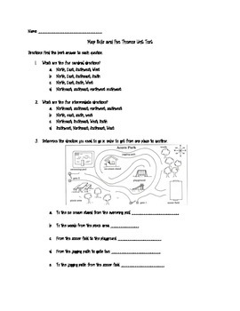
Map Skills and Five Themes of Geography Unit Test
This product is a comprehensive unit test covering map skills and five themes of geography. The map skills include using a compass rose to tell relative location, cardinal and intermediate directions, absolute location, types of maps, map scale, and map key. This product could work as a pretest or post-test!
Please feel free to leave feedback and thank you for visiting my shop!
Grades:
4th - 9th
FLIPBOOK LA REPRESENTACIÓN DE LA TIERRA
FLIPBOOK para trabajar en Ciencias Sociales la representación de la Tierra.Incluye los siguientes apartados: ¿Cómo se representa la Tierra?Paralelos y meridianos.Localización en la superficie de la Tierra.Tipos de mapas.Elementos de un mapa.Escala gráfica y numérica. Incluye dibujos en blanco y negro para ser coloreados. Archivo PDF no editable.
Subjects:
Grades:
5th - 8th
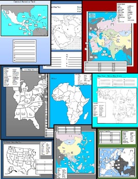
World Map Tests
12 World Map Tests included in this packet covering United States, Central America, South America, Western Europe, Central Europe, Middle East, and the Pacific Rim. This packet includes blank study maps, Tests, and Keys.
Grades:
5th - 12th, Higher Education, Adult Education
Continent Map - Review, Tear Art Map Project, and Assessment
Continent Map - Review, Tear Art Map Project, and Assessment
Learn about our awesome planet with a fun review, art project and assessment in this continent bundle!
- Lesson plans for continent map review including continents, major oceans, latitude, longitude, hemispheres, prime meridian and equator
- Tear art project to create your own continent map
- Review pages and map to discuss continents, major oceans, latitude, longitude, hemispheres, prime meridian and equator
- Assessment map to chec
Subjects:
Grades:
2nd - 5th
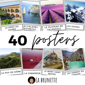
40 posters de décoration sur la France - 40 posters for display about France
40 incredible French sites to display in your classroom !Bring some cultural and colourful elements to your French classroom or MFL corridor with these 40 beautiful pictures of France. This resource includes :This resource includes 40 pictures (PDF format) of the best and most incredible cities, regions and landscapes to visit in France. Each PDF page has a picture in a frame and its name in a separate frame, below. Check the VIDEO PREVIEW to view ALL pictures ! These French touristic sites are
Subjects:
Grades:
PreK - 12th, Staff
Also included in: POSTERS MEGA BUNDLE - 280 PRINTABLE PAGES - France and Francophonie
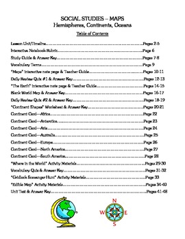
Social Studies - Maps, Continents, & Oceans - Complete Lesson Unit
Are you looking for a Social Studies unit on Maps, Continents, and Oceans that has differentiated and cooperative learning activities along with all the materials you need to teach the entire unit? Are you tired of just teaching from the textbook and want something different to do with your class? If so, this packet of materials is literally all that you need – an overall unit outline for 10 days of activities, interactive notes, quizzes, suggested homework assignments, class activities (both
Grades:
3rd - 4th
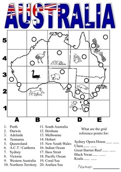
Australia - Grid References
Are you learning about Grid Reference Points?
In this activity students need to locate different parts of Australia using grid reference points.
Subjects:
Grades:
2nd - 5th
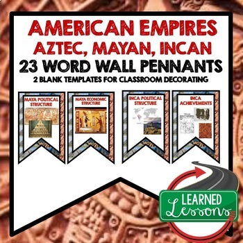
American Empires Aztec, Mayan, Incan Word Wall World History Word Wall Posters
American Empires Aztec, Mayan, Incan Word Wall Pennants (23 Words)Also Included In:World History MEGA BUNDLE Part 1World History Word Wall BUNDLE Part 1Aztec, Mayan, Incan BUNDLEIncluded:Includes 2 to a page banner pennant word wall. Print two or four to a page, cut, and decorate your room! 2 blanks for each unit have been included so you can decorate and label your board with the same background theme. Words Included: Maya Political StructureMaya Economic StructureMaya Religious StructureMaya S
Grades:
6th - 12th
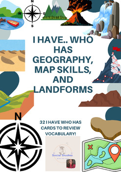
I Have.. Who Has Game- 5 Themes of Geography, Map Skills, Landforms
I Have.. Who Has games are a great way to begin a unit and end the unit! This is a wonderful activity to practice vocabulary in a Social Studies Setting. This set includes 32 cards, so at least 1 per student! Some of the cards contain graphics, while others are just definitions. The words students will practice are:North, South, East and WestPrime Meridian and EquatorCartographer, Geography, Map, Globe, Hemisphere, Scale, Lines of Longitude and LatitudeRelative and Actual Location, Place, Human
Subjects:
Grades:
Not Grade Specific
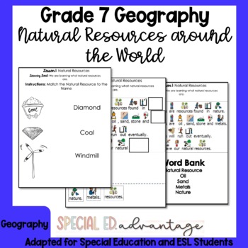
Ontario Grade 7 Geography Natural Resources Around The World for Special Ed ESL
Do you need Grade 7 Geography Natural Resoures Around the World (Use and Sustainability)- Geography Strand B content that is modified and differentiated for Special Education and ESL students with IEPs? This unit has minimal reading and heavy writing tasks and a lot of visuals and drawing tasks to support all your learners!This product is a great addition to your program that will support your English Language Learners & Special Education students.Included In This Package:Lesson 1: Natural R
Subjects:
Grades:
7th
Also included in: Full Year Bundle Grade 7 Ontario Geography for Special Education and ESL
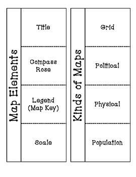
Map Elements and Types
This is a cut and paste foldable about maps.
Includes one foldable about map elements (title, map key, compass rose, map scale).
Includes one foldable about map types (grid, political, physical, population) *Updated September 2018 to include elevation maps*
Subjects:
Grades:
2nd - 4th
Globe vs. Map
Use this fun cut and paste activity to see what your students are learning
Grades:
1st - 3rd
Showing 1-24 of 282 results


