9,732 results
Earth Day geography posters
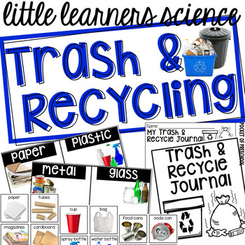
Trash and Recycling - Science for Little Learners (preschool, pre-k, & kinder)
Investigate trash and recycling through hands on explorations in your classroom! Use a small table or a small bookshelf to create an engaging science center full of hands on materials for students to explore and investigate using the included printables, vocabulary cards, book, anchor charts, and discovery pages (science journal pages)! Included is a read aloud book, Reuse It! Recycle It! for circle time, anchor charts, and a suggested book list. There is even a half page note you can send home
Subjects:
Grades:
PreK - K
Types:
Also included in: Preschool, Pre-K, and Kindergarten Complete Curriculum BUNDLE
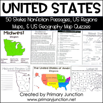
United States 50 States Reading Comprehension Passages Region Geography Map
Are you teaching a unit on United States geography or the 50 states and capitals, or would you like to incorporate some non-fiction informational texts into your instruction? These United States 50 States Reading Comprehension Passages and Region and Geography Maps will help you engage and teach your students interesting and important facts about each of the 50 states and their capitals, as well as assess students’ knowledge of each state’s location on a map. Each of the 50 state reading passag
Subjects:
Grades:
2nd - 5th
Types:
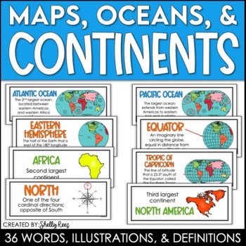
Continents and Oceans Maps and Posters | Geography and Maps Word Wall
Continents and Oceans and Map Skills can be fun to teach, especially when you have this great set of word wall cards. Each card includes the word, definition, and a clear, colorful illustration. Make a great bulletin board in just minutes!Click HERE to save 20% with the Continents, Oceans, and Map Skills BUNDLE!Please click on the PREVIEW above to get a clear picture of everything included.PERFECT for visually reinforcing landform vocabulary!This helpful continents, oceans, and maps word wall se
Grades:
2nd - 8th
Also included in: Maps, Continents and Oceans, Landforms, and Map Skills Bundle
Map Skills - Me on the Map
Map Skills: Me on the map - Hi teachers! Are you beginning to teach your kiddos map skills? Well this unit might be just what you need. There are tons of activities included just take a look below:Vocabulary PostersMaps of the World: Identify ContinentsMaps of the Word: Identify OceansMaps of the World: Identify the Continent you live onDescribe a MapGlobe: Identify Poles, Equator, Continents, OceansDescribe a GlobeCompare and Contrast Globes and MapsSort Maps and GlobesIdentify Neighboring C
Subjects:
Grades:
K - 2nd
Types:
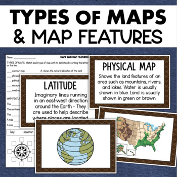
Types of Maps Map Features Skills Geography Posters Social Studies Assessment
Students will learn about different types of maps and common map features with this social studies resource. It includes 17 visuals/posters plus a worksheet/assessment.MAPS POSTERSThese can be kept together as a single page or cut apart into separate cards for display or a matching activity. The top of each card has the title and definition, and the bottom has a full-color illustration. WORKSHEETThis activity requires students to match the types of maps to their purpose, know the function of var
Subjects:
Grades:
3rd - 6th
Types:
Also included in: Geography Landforms & Bodies of Water Types of Maps Map Elements Posters
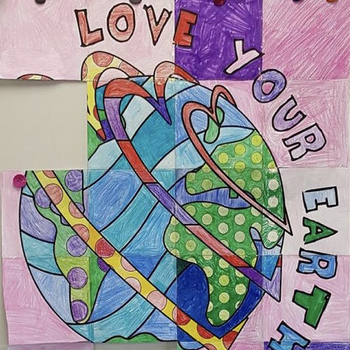
Collaborative Poster Activity to Celebrate Earth Day! Great for Bulletin Boards!
Earth Day Activities: Group Poster Project. Not only is there ONE cool Earth Day group poster in this lesson, but there are TWO cool designs. Let the kids vote on their favorite design OR just make both! I have now included the option for your poster to say "Every Day" or "April 22nd" - this makes it great, so you can use this poster during Earth Day or any day of the year!This project is so much fun because, in the end, you will have a very large (approx. 29"x36") Earth Day poster that you can
Subjects:
Grades:
2nd - 8th
Types:
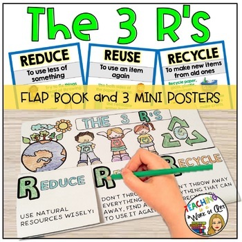
The 3 R's Posters and Flap Book REDUCE REUSE RECYCLE
This set focuses on "The R's" (Reduce,Reuse,Recycle).It includes:- 3 mini posters with visual examples for you to post in class.- A flap book activity where students sort pictures and classify them under the corresponding R and add some sentences of what the picture represents. (Instructions and photos of the final product included)If you are interested in Earth Day activities you may find this other product interesting RECYCLING SORTING ACTIVITY**************************************************
Subjects:
Grades:
1st - 4th
Types:
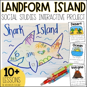
Landforms Project - Landform Island and Landforms and Body of Water Research
Engage your students in learning about landforms and bodies of water by having them apply their knowledge of these landforms and bodies of water to create a project... LANDFORM ISLAND! This creative social studies project is a hands-on geography activity perfect for your learners.What is the Landforms Project:Students will work alone or in groups to research 24 different landforms and bodies of water, draft a plan for their landform island, write all about their landform island and publish a pos
Subjects:
Grades:
1st - 3rd
Types:
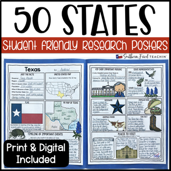
State (United States) Research Project Posters - Printable & Digital
States Research Project Posters are a fun and simple way for your students to research the states. These project posters are student friendly and help guide your students in what exactly to research. These posters are perfect for students to display their state research! And they look fabulous on a bulletin board or hallway display!This is part of my HUGE GROWING BUNDLE OF RESEARCH PROJECT POSTERS. This is includes ALL of my research project posters. Your students could become research experts a
Grades:
3rd - 8th
Types:
Also included in: GROWING BUNDLE Research Project Posters
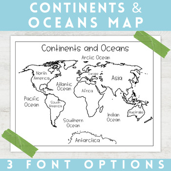
World Map Continents and Oceans | Black and White | Coloring Sheet
Enhance your minimalist classroom with these Black and White World Map with labeled Continents and Oceans!These black and white world map features each of the 7 continents and 5 oceans accurately labeled. These maps are great to print out, laminate, and hang up in a minimalist or neutral classroom. These maps are also great to print out and make copies for students to color! Please feel free to make copies of this resource for your students, or for your own kiddos.Updated 5/29/2024: There are no
Grades:
PreK - 9th
Types:
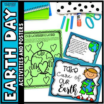
Earth Day Activities 4th 5th and Grade 3 Writing Posters & Earth Day Worksheets
Your students will love these fun Earth Day Activities for 3rd, 4th, and 5th grade. This bundle contains fun Earth Day worksheets, writing activities, posters, and coloring pages. You'll also get 7 colorful Earth Day posters to print and hang in your classroom.What You Will Find: ✔️Fun puzzles ✔️ABC order ✔️Adjectives ✔️Fact and Opinion ✔️Word Scramble ✔️Simple and Compound Sentences ✔️Writing Center Cards ✔️Writing Paper ✔️Recycling Checklist ✔️Synonyms
Subjects:
Grades:
3rd - 5th
Types:
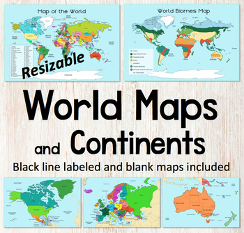
World Map and Continents Maps - World Biomes Map - USA Map - Color and Blank
This is a set of clear colored and black-line maps to use in your lesson preparation and teaching resources. Each of the twelve maps is provided in three versions1. Labeled color2. Labeled black -line3. Blank black-line The maps are orientated as rectangular landscape pages in easy to use PNG files. They feature the land on a blue water background. The images can be inserted into your documents and resized or clipped to focus on certain areas. The maps will remain clear when pulled out to 40
Subjects:
Grades:
Not Grade Specific
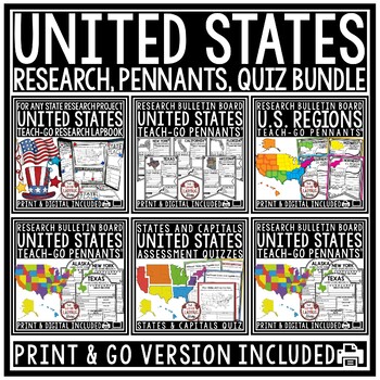
US Regions of the United States Geography States and Capitals Research Project
You will love having all your tools for teaching about the 50 United States with this Research Bundle. It includes State Research Pennants, Regions of the United States Pennants, 50 State Quizzes and more! I have bundled all my research templates into one easy money saving bundle. You will love having all these options for your students as you study throughout the year the 50 States of the United States. It is a great way to differentiate for your classroom. Kindly Note: Actual research is not i
Grades:
3rd - 5th
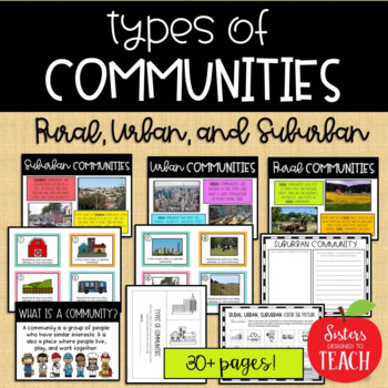
Types of Communities │Rural, Urban, & Suburban
This is the perfect bundle to use when teaching your students about the different types of communities (rural, suburban, and urban)! Your students will enjoy these hands on activities and task cards, which are great to use in centers. Posters are also provided for your students to refer to. Included in this bundle:-"What is a Community" Poster-Rural Communities Poster-Urban Communities Poster-Suburban Communities Poster-Rural, Urban, and Suburban Picture Cards (1 page each, 4 images to a page)-R
Subjects:
Grades:
K - 6th
Types:
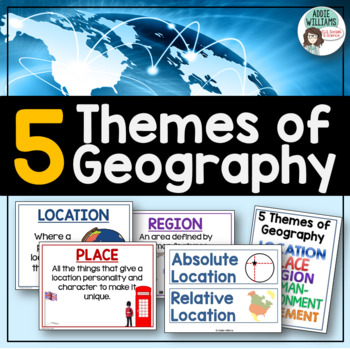
Five Themes of Geography Posters and Word Wall
Five Themes of Geography Poster and Word Wall Set - includes 16 posters and 16 word wall strips! One poster and word wall strip for each of the five themes and their sub-topics! Great way to help students remember and learn to apply the Five Themes!Location - Absolute and RelativePlace - Human and PhysicalRegion - Formal, Functional, and VernacularHuman Environment Interaction - Adapt, Depend, and InteractMovement Also, check out FREE Five Themes of Geography ProjectAddie Williams
Subjects:
Grades:
6th - 10th
Types:
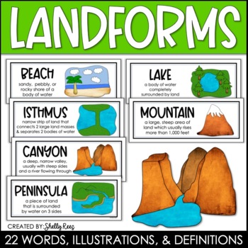
Landforms and Bodies of Water Posters and Word Wall
Landforms and bodies of water can be fun and easy to teach, especially when you have this beautiful set of word wall cards. Each card includes the word, definition, and a clear, colorful illustration. EASILY make an amazing landforms wall display in minutes!Click HERE to save 20% with the Continents, Oceans, Maps, and Landforms BUNDLE!Please click on the PREVIEW above to get a clear picture of everything included.This complete landform word wall set includes 22 vocabulary posters:basinbaybeachca
Grades:
3rd - 6th
Also included in: Maps, Continents and Oceans, Landforms, and Map Skills Bundle
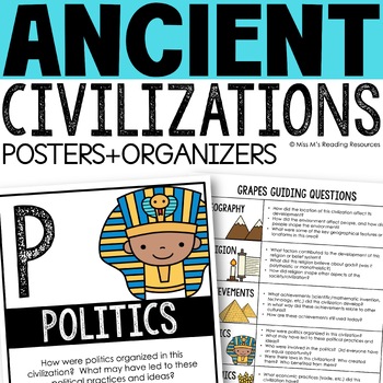
Ancient Civilizations GRAPES Posters Ancient Greece Ancient Rome Ancient China
Help your students learn and organize info about ancient civilizations with these G.R.A.P.E.S. posters, guiding questions, and graphic organizers! The GRAPES Ancient Civilizations Poster and Graphic Organizer Set is an easy acronym to organize information for the basic traits of ancient civilizations. G.R.A.P.E.S. is an acronym for:G- GeographyR- ReligionA- AchievementsP- PoliticsE- EconomicsS- Social StructureGRAPES is an effective way to learn and organize information about different civilizat
Grades:
6th - 8th
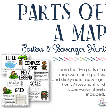
Parts of a Map: Posters & Sticky Note Scavenger Hunt
If you study maps, be sure to check out this resource for additional fun in your classroom!
This will help your students recognize and understand the five parts of a map:
- title
- compass rose
- key/ legend
- scale
- grid
Have students bring in maps from home, spread them around the room, give each child a set of printed sticky notes and have them label the different parts of the map they see.
Included in this set are:
- full-size posters of the five parts of a map
- sticky-note templates f
Subjects:
Grades:
2nd - 5th
Types:
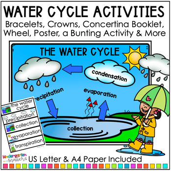
Water Cycle Activities - Posters, Word Bank & Definitions Kindergarten 1st Grade
This pack of Water Cycle Activities includes fun and engaging tasks for exploring the water cycle with students. It includes everything you need to create an informative classroom display with posters, word banks and definition cards. These simple activities and Water Cycle crafts are perfect for Kindergarten and 1st Grade. Save and buy Weather and Seasons and The Water Cycle, Science Unit BundleWhat's included in this Water Cycle Activities resource:A display title, wall words and word bank pe
Subjects:
Grades:
K - 2nd
Types:
NGSS:
K-ESS3-3
Also included in: Weather and Seasons & The Water Cycle - Science Unit Bundle
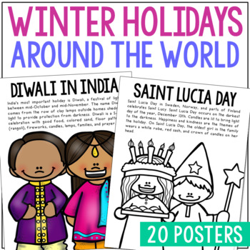
WINTER HOLIDAYS AROUND THE WORLD Posters | Christmas Culture Study Activity
This set of Christmas around the World posters is super versatile! You'll receive the pages in black/white AND full color. Shrink them down for interactive notebook inserts, mini books, bulletin board decor, hall displays, or as a quick coloring page to accompany your read-aloud. Students love these note pages because they provide just enough new vocabulary and ideas to engage but aren’t overwhelming.CLICK HERE to save 25% on this resource in the Christmas Posters Bundle!WINTER HOLIDAY THEMES IN
Grades:
PreK - 5th
Types:
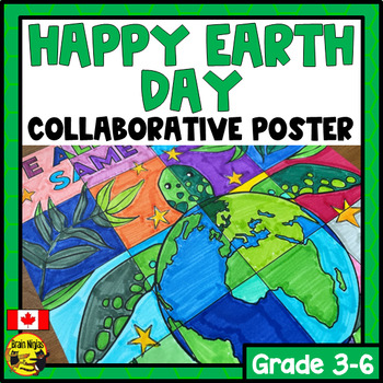
Earth Day Collaborative Poster | Elementary Art Activity | Colouring Activity
Use this collaborative poster with your class to celebrate Earth Day while working together to achieve a common goal. This colouring activity takes your students 10-30 minutes and just requires printing for you to use right away. It's a great activity to use to calm the mood or leave with a substitute teacher.This resource is part of our Holiday Collaborative Poster Bundle. It is also part of our Big Collaborative Poster Bundle.This seasonal activity includes:a collaborative poster you can use a
Subjects:
Grades:
3rd - 6th
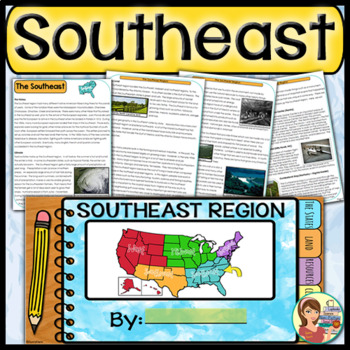
US Regions: Southeast Region (Print and Digital)
This is a comprehensive resource that explores the twelve states in the Southeastern region. A non-fiction informational text packet covers the region’s history, climate, land, economy, natural resources and landmarks. Several other items are included in this resource as well. Please see below for more details. UPDATE: Mississippi's new flag has been added to the poster.★ ★ ★ BUNDLE ALERT! DO NOT MISS THE SAVINGS! ★ ★ ★SAVE 20% OFF individual unit prices when you purchase the Five Regions of
Grades:
4th - 6th
Types:
Also included in: 5 Regions of the United States BUNDLE (Print and Digital)
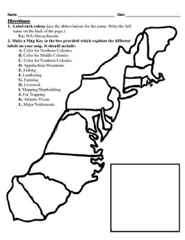
13 Colonies Map Project (8.5x11)
This project has three different differentiated levels for different levels of students, or to have them work up to... This project is set-up to print on 8.5x11 sheets of paper. In the first tier (the easiest), the students are given a map of the thirteen colonies and have to label each colony and then color the Northern/North Eastern Colonies, the Middle Colonies and the Southern Colonies different colors in a map key they create. In the second tier (medium difficulty), the students have to la
Subjects:
Grades:
3rd - 12th
Types:
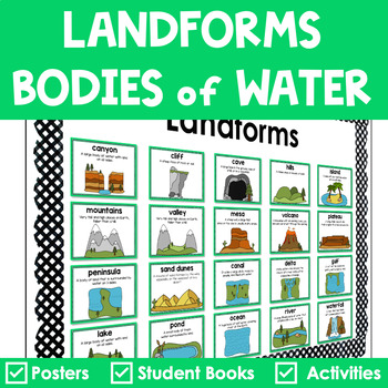
Landforms and Bodies of Water Posters Interactive Books Games and Worksheets
Do your students have a hard time recognizing landforms and bodies of water? Get everything you need to teach landforms and bodies of water in one pack. It includes anchor posters, sorting cards, riddle books, and more to scaffold learning for all students. The little books are in a riddle format, so your students must use critical thinking to solve. ✅ What’s Included:⭐️ Teacher Tips⭐️ 20 Large Landforms & Bodies of Water Posters⭐️ 20 Small Landforms & Bodies of Water Posters⭐️ 60 Lan
Subjects:
Grades:
K - 4th
Types:
Also included in: Landforms Bundle
Showing 1-24 of 9,732 results


