8 results
1st grade geography resources for Microsoft OneDrive
Maps, Continents, and Communities Digital Unit | Google Slides
Do you need exciting and engaging social studies materials to teach maps, communities, and continents? This digital unit has tons of activities, reading informational text passages, and digital interactive notebook options that your students can do! It covers locating on places on maps and globes their local community and the USA, the seven continents, and the four oceans. They also practice constructing/reading a simple map, using cardinal directions and map symbols. Lastly, they'll compare and
Grades:
1st - 3rd
Types:
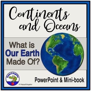
Continents and Oceans Geography Interactive PowerPoint and Mini Book with Easel
Continents and Oceans PowerPoint. Useful for studying the seven continents of the Earth and the five oceans in your geography or Social Studies classes. Includes examples of some major features of each continent of the world and some animals that are unique to each. Students will also see a visual about the equator and the hemispheres of the planet. Great supplemental activity for Earth Day, too. Has l interactive review slides and a printable for students to follow along. There are two Easel As
Subjects:
Grades:
1st - 4th
CCSS:
Also included in: Earth Day Activities Bundle
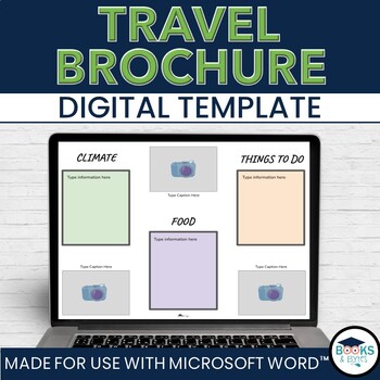
Travel Brochure Digital Writing Template Activity - No-Prep for Microsoft Word
Engage students' curiosity about the world with the Travel Brochure template. They can easily add their research and information to this template, print, and share their information in brochure form! Great addition for a Ontario Grade 2 Social Studies - Global Communities unit.What is included:Microsoft Word editable templateCategory boxes: Climate, Food, Things To Do, LocationAdditional space to include pictures, maps and additional textGet both Microsoft WORD AND Google SLIDES version in this
Grades:
1st - 5th
Types:
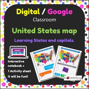
United States map. Learning States and Capital. Google classroom. Digital.
United States map. Learning States and Capital. Google classroom. Digital classroom for paperless activities.
Did you start transitioning to a paperless classroom? I have this product that can be fun and perfect for your student to learn states and capitals from the United States.
You will receive:
- PDF with instructions. (for both Google Drive and OneDrive users)
Your student will have so much fun learning states and capitals, while taking advantages of a paperless digital classroom.
Te
Subjects:
Grades:
K - 2nd
Types:
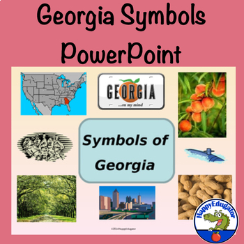
Georgia Symbols PowerPoint
Georgia - Symbols of Georgia Interactive PowerPoint. Fun interactive slides ask Georgia students to choose the state flower, state flag, state seal, state bird, etc. If they get it right, It will say, "Yes! Good Job! You're a true Georgian..." and then hit NEXT to move on to the next slide. If they get it wrong it will say, Oops, try again." Then hit BACK to do over. Students will learn about Georgia state symbols and have fun, too! Great for Georgia Studies. Includes a link to video of Ray Char
Grades:
1st - 4th

Italy research
This presentation discusses Italy and the following sub topics:-Location (map, capital)-Population-Geography-Flag-Currency-Food-Sports-Leaning Tower of Pisa-History of architecture -Langauge-Important people
Grades:
1st - 6th
Types:
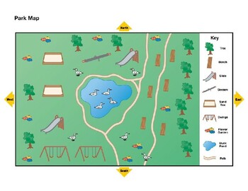
Map it Out
Use this simple, editable map to teach a lesson! Could be used for many different Social Studies standards!
Subjects:
Grades:
PreK - 1st
Types:
Data-Collecting and Language Arts Lesson
Creating graphs with the items in our homes (or classrooms), while furthering our learning with mapping.
Subjects:
Grades:
K - 2nd
Types:
Showing 1-8 of 8 results


