10,438 results
Kindergarten geography pdfs
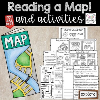
Map Skills- Reading a Map and Activities
✅⭐️Are you studying maps in your primary classroom? If so, then you will love this all inclusive NO PREP set! Not only does it go over cardinal directions and how to read a map, it also reviews parts of a map such as the map key, title, and compass rose. It is a perfect lesson to include in your social studies geography unit!⭐Please know that this resource is a PDF. It is great for distance learning if you are sending home packets or are able to transfer it to Google Slides™ to use in Google Cla
Subjects:
Grades:
K - 5th
Types:
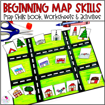
Map Skills Worksheets Book Lapbook - Reading a Map, Cardinal Directions, Compass
Are you looking for an engaging first grade map skills resource to add to your social studies curriculum? This engaging resource is what you need to teach mapping skills like cardinal directions, compass rose, and map skills. Students will love the map skills books and the hands-on build a town map. Finally, students can demonstrate their learning with the final map skills lapbook. Use this resource for:first gradesecond gradewhole class instructionsmall group instructionpartner workStudents wi
Subjects:
Grades:
K - 2nd
Types:
Geography: Map Skill Cardinal Directions Worksheets:
Geography: Map Skill Cardinal Directions Worksheets:Following worksheets are included:1 directions worksheet.2 compass rose worksheets.3 worksheets..... My bedroom.3 worksheets..... My Neighborhood.3 worksheets...... My Classroom.2 worksheets....... My City.1 worksheet.....Grandma's FarmAssessment worksheets and answer keys are also included.Note: Kindly give me positive 5 stars rating. Thankyou!Kindly check my other Geography products :<a herf=”https://www.teacherspayteachers.com/Product/Geo
Subjects:
Grades:
K - 5th
Types:
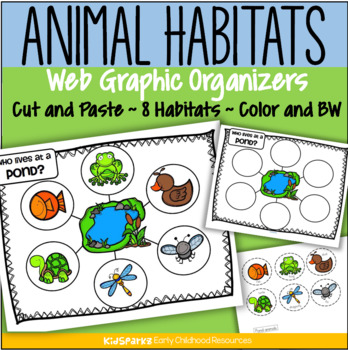
Animal Habitats Cut and Paste 8 Biomes Web Graphic Organizer Low Prep
Children create 8 animal habitat web graphic organizers by cutting and pasting 6 typical animals onto a habitat mat background.There are 8 habitats/environments represented: ForestRainforestFarmOcean PondDesert ArcticAfrican SavannaClick on the PREVIEW link to see most pages.Each habitat activity includes 4 pages:a web graphic organizer page, in color and b/w a page with 6 labeled animals to cut and paste, in colorand a page with 6 labeled animals to cut and paste, in b/wChoose either the pages
Subjects:
Grades:
PreK - 2nd
Types:
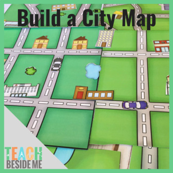
Build a City Map
This fun printable set is 15 pages long and includes 5 different map pages (each in color and black and white). It also includes 2 pages of buildings, cars, trees, and ponds to use to build and customize your maps. These are also included in color and black and white.
Subjects:
Grades:
PreK - 3rd
Types:
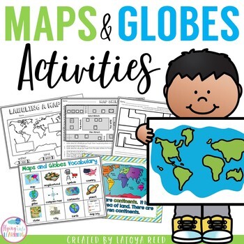
Maps and Globes
Maps and GlobesThis is the perfect unit for your teaching on Maps, Globes, and Where We Live. I have packed some great resources in this unit!!!You will get a 2 PAGE FREEBIE when you download the preview!!!Download the preview to see every page in the unit!!!!Table of ContentsPg. 2-13 Posters for teaching and vocabularyPg. 14 Vocabulary ChartPg. 15-18 word wall cards, write the room cards, etcPg 19 write the room recording sheetPg 20 What is a Globe? Mini bookPg 21 What is a map? Mini bookPg 2
Grades:
K - 2nd
Types:
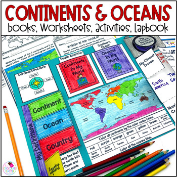
Continents and Oceans 1st & 2nd Grade Social Studies 3D Map, Lapbook, Worksheets
Do you need an engaging social studies resource to teach your students about the seven continents and five oceans? This easy-to-use resource includes everything you need to help your students learn about the world's continents and oceans.A variety of activities will keep your students engaged. These include vocabulary cards, books, worksheets, a 3D student map, a mapping lapbook, and a writing activity.This resource is part of a money-saving BUNDLE. Click to save 20% by purchasing the BUNDLE.Use
Subjects:
Grades:
K - 2nd
Types:
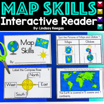
Map Skills Interactive Reader for Maps, Globes, Directions and more
These map skills worksheets are so much fun for young learners. Use this interactive mini-reader to help reinforce your student's understanding of maps, globes, cardinal directions, land, water and more!This map skills book can be used across several lessons and is perfect for whole group, small group or center activities.Each page has information about map skills and tasks for students to complete to help them show their understanding of the topic.Map Skills included in this interactive reader
Grades:
K - 2nd
Types:
Also included in: Interactive Books Bundle Readers for Math, Science and Social Studies
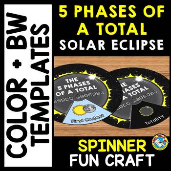
5 PHASES OF A TOTAL SOLAR ECLIPSE 2024 ACTIVITY CRAFT SPINNER SCIENCE PRINTABLE
TOTAL SOLAR ECLIPSE 2024 CRAFTS WHEEL PRINTABLE ACTIVITY (THE 5 PHASES OF A TOTAL SOLAR ECLIPSE SPINNER CRAFTIVITY)Are you looking for fun Total Eclipse activities? Kids will love making and spinning this eclipse crafts wheel/ spinner. This craft wheel is a fun way for kids to learn about the 5 phases of a total solar eclipse: First Contact, Second Contact, Totality, Third Contact and Fourth Contact. I have provided 2 versions of the wheel: color and black and white version. Each wheel con
Subjects:
Grades:
PreK - 6th
Types:
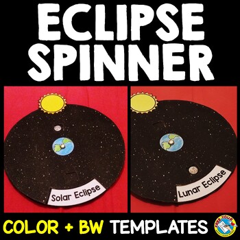
SOLAR AND LUNAR ECLIPSE CRAFTS WHEEL ACTIVITY SPINNER PRINTABLE SCIENCE
SOLAR AND LUNAR ECLIPSE CRAFT ACTIVITY SPINNER SCIENCE PRINTABLE (Perfect for the upcoming annular eclipse on October 14 and the following lunar eclipse)Are you looking for fun solar and lunar eclipse activities? Kids will love making and spinning this eclipse crafts wheel/ spinner. This eclipse wheel is a fun way for kids to visualize the position of the moon in relation to the sun and Earth during solar and lunar eclipses.I have provided 3 versions of the eclipse wheel: color, black and white
Subjects:
Grades:
PreK - 6th
Types:
Map Skills - Me on the Map
Map Skills: Me on the map - Hi teachers! Are you beginning to teach your kiddos map skills? Well this unit might be just what you need. There are tons of activities included just take a look below:Vocabulary PostersMaps of the World: Identify ContinentsMaps of the Word: Identify OceansMaps of the World: Identify the Continent you live onDescribe a MapGlobe: Identify Poles, Equator, Continents, OceansDescribe a GlobeCompare and Contrast Globes and MapsSort Maps and GlobesIdentify Neighboring C
Subjects:
Grades:
K - 2nd
Types:
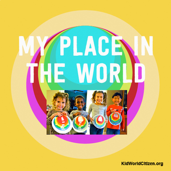
My Place in the World Project: "Me on the Map" Geography for Kids
This hands-on geography project "My Place in the World" has kids create a visual representation of how we fit into the world. Teachers often use it with the kids' geography book "Me on the Map," by Joan Sweeney. Ideal for integrated Social Studies, ELA, Geography, Literacy, and Map Skills.Using a series of nesting circles to show the relative sizes of different geographic places, this simple but effective geography lesson helps kids sort out their relation to one another. This activity includes
Grades:
K - 5th
Also included in: Geography for Kids Bundle: Three Essential Hands-on Activities
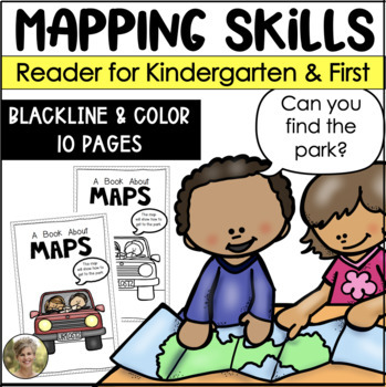
Mapping Skills Reader for Kindergarten and First Grade Social Studies
Teaching mapping skills to your students? Need to help them understand key vocabulary: map, symbols, key, cardinal directions and compass rose? Grab this reader perfect to generate talks and discussions about what maps are and how they help provide information!Includes both a blacking version for your students to color and take home! Plus a color version to project and read whole group!Information included in the reader:maps are flatmaps tell information compass rose tells north, south, east and
Subjects:
Grades:
K - 1st
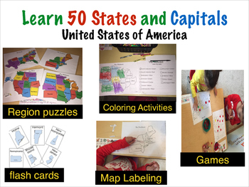
Teach U.S 50 States and Capitals Pack
This 53 page geography activity pack helps children prek- 3rd grade and higher to learn all fifty states and capitals by region though fun hands on activities which include:- Region Puzzles- Coloring activities- Color by state and Color by Capitals- State and Capital Bingo- Labeling maps by state and capitals- Fifty U.S state Flash CardsPlus more games!I hope your class and students enjoy the activities. Be sure to follow me to receive updates and notices about sales and new products. And don't
Grades:
PreK - 3rd
Types:
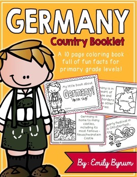
Germany Booklet (a country study!)
This "All About Germany" booklet can be used for a very basic country study in lower elementary grades! Each page contains a basic fact and related illustration. All graphics are in an outline format so that it's ready to be colored like a mini-coloring book.
This coloring booklet gives all the general/basic information about Germany, including:
-geography (in Europe and borders nine other countries)
-German flag
-capital city of Berlin
-popular German foods
-most famous German castle (Neusch
Subjects:
Grades:
K - 3rd
Types:
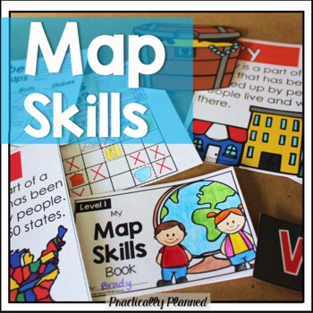
Geography & Map Skills - Reading a Map & Globe Activities & Worksheets
Make teaching mapping skills fun with this map skills mini unit! It covers geography and map navigation basics, including foundational vocabulary; using a compass rose, map key, and simple grid to navigate and read maps and globes; locating continents, oceans, poles, and the equator; and more.Here's what's included:Map Skills Anchor Charts and Vocabulary Cards (map, globe, equator, prime meridian, North Pole, South Pole, latitude, longitude, coordinate, compass rose, key, scale, physical feature
Grades:
K - 3rd
Types:
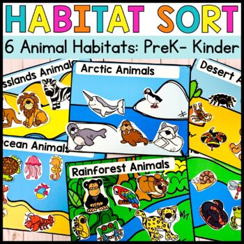
Animal Habitats Sorting Activities Preschool to Kindergarten
Animal Habitat Sorting: Arctic, Rainforest, Desert, Wetland, Grassland, and Ocean Animals. This Habitat set makes it easy to learn about where animals live! Create sorting centers by laminating each item or turn each habitat into a craft by coloring and gluing each animal to their home! This set will be geared towards preschool, PreK and Kindergarten kidsWhat is included in this resource:BW and Color to fit your printing needs 6 Habitats: Arctic, Rainforest, Desert, Wetland, Grassland, and Ocean
Subjects:
Grades:
PreK - K
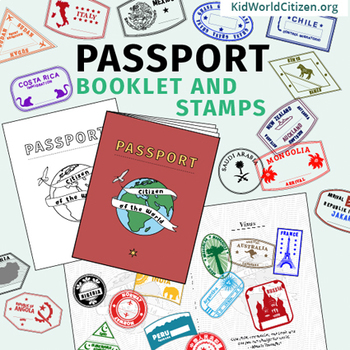
Passport Booklet & Stamps Growing Bundle: Around the World Unit, Geography Fair
These passport stamps and passport booklet are absolutely amazing!!! Perfect for an around the world unit, introduction to country studies, a Geography Fair, International Night, Social Studies Units, "Read Around the World" Passports, or Christmas Around the World (or Holidays Around the World). Save now by getting in early on this GROWING BUNDLE as we will be adding country stamps in the near future!The passport booklet is authentic, appropriate for students in any country ("Citizen of the Wor
Grades:
PreK - 12th
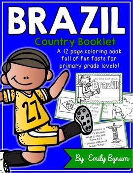
Brazil Booklet (A Country Study!)
This "All About Brazil" booklet can be used for a very basic country study in lower elementary grades! Each page contains a basic fact and related illustration. All graphics are in an outline format so that it's ready to be colored like a mini-coloring book.
This coloring booklet gives all the general/basic information about Brazil, including:
-geography
-Brazilian flag
-capital city of Brasilia (Cathedral of Brasilia)
-Brazilian foods
-Rio de Janeiro
-Carnival festival
-football (most popular
Grades:
K - 3rd
Types:
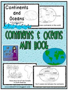
Continents and Oceans Mini Book
This is a first grade friendly emergent reader about the continents and ocean. Students will be able to read one fact about each of the continents and the oceans. Picture clues will help with text.There are 7 continents in the world.North America is made up of mostly 3 big countries.There are a lot of rain forests in South America.There are many small countries in Europe.Asia is the biggest continent.Africa is by Europe and Asia.Australia is called the "Land Down Under".Antarctica is at the So
Subjects:
Grades:
K - 3rd
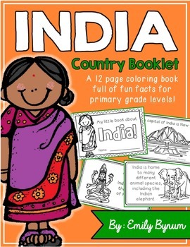
India Booklet (A Country Study!)
This "All About India" booklet can be used for a very basic country study in lower elementary grades! Each page contains a basic fact and related illustration. All graphics are in an outline format so that it's ready to be colored like a mini-coloring book.
This coloring booklet gives all the general/basic information about India, including:
-geography
-Indian flag
-capital city of New Delhi (Lotus Temple)
-Himalayas
-sacred animals (cows)
-monsoons
-cricket (popular sport)
-Taj Mahal
-common
Grades:
K - 3rd
Types:
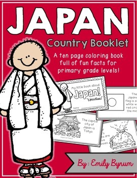
Japan Booklet (a country study!)
This "All About Japan" booklet can be used for a very basic country study in lower elementary grades! Each page contains a basic fact and related illustration. All graphics are in an outline format so that it's ready to be colored like a mini-coloring book.
This coloring booklet gives all the general/basic information about Japan, including:
-geography (islands in the Pacific Ocean)
-Japanese flag
-capital city of Tokyo
-popular Japanese foods
-traditional architecture
-volcanoes
-ancient war
Subjects:
Grades:
K - 3rd
Types:
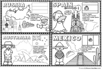
Countries Around the World
If your students are learning about countries around the world this is a handy resource. Kids will learn and commit facts to memory as they color famous landmarks, country shape, flags, traditional clothing, and more for 18 countries including:
- Greece
- Italy
- France
- United Kingdom
- Brazil
- Netherlands
- United States
- Egypt
- China
- Japan
- Peru
- Russia
- Australia
- India
- Kenya
- Spain
- Mexico
Subjects:
Grades:
PreK - 4th
Types:
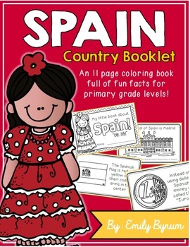
Spain Booklet (A Country Study!)
This "All About Spain" booklet can be used for a very basic country study in lower elementary grades! Each page contains a basic fact and related illustration. All graphics are in an outline format so that it's ready to be colored like a mini-coloring book.
This coloring booklet gives all the general/basic information about Spain, including:
-geography
-Spanish flag
-capital city of Madrid (Royal Palace of Madrid)
-Spanish foods
-flamenco dancing
-bullfighting
-football (popular sport)
-curren
Subjects:
Grades:
K - 3rd
Types:
Showing 1-24 of 10,438 results


