761 results
Kindergarten geography resources for Google Apps
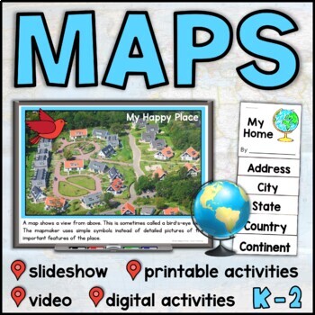
Map Skills Unit with Slideshow– Me on the Map – Maps and Globes - with Digital
This map skills unit for K-2 has all you need to teach your students about maps and globes. With an informational map skills PowerPoint slideshow (also included in video form), vocabulary resources, printable activities and books, and digital activities for Seesaw and Google Slides, this set will get your little geographers making, reading, and talking all about maps! Perfect to use alongside the read-aloud Me on the Map, this maps unit includes an easy-to-assemble “My Home” booklet with version
Subjects:
Grades:
K - 1st
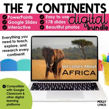
Continents Bundle - A PowerPoint/Google Trip to the 7 Continents
Learn about the Seven Continents! Take a journey around the world without ever leaving your classroom with these stunning PowerPoint and Google Slides presentations. This set of 8 PowerPoint/Google Slides presentations uses real photographs to give your students a peek into the amazing continents of the world.Each presentation has a map, weather, animals, homes, important cities, landmarks, and a short three-question quiz.This bundle includes {for PowerPoint and Google Slides}Let's Learn About A
Grades:
K - 2nd
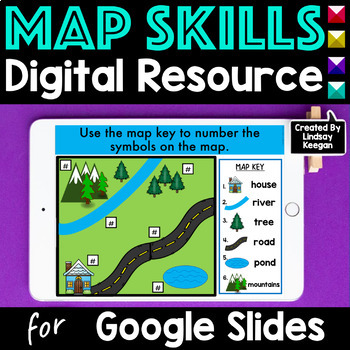
Map Skills Digital Activities for Google Slides
Learning about map skills is super fun when using Google Classroom and Google Slides. In this resource, students have fun identifying, sorting and labeling maps, globes, landforms, bodies of water, cardinal directions and more! These activities can easily be separated and assigned over several lessons.Activities included in these Map Skills Google Slides:- Four slides introducing, sorting, identifying and recognizing uses for maps and globes.- Four slides introducing, sorting, identifying and la
Grades:
K - 2nd
Types:
Also included in: Map Skills Printable and Digital Bundle of Activities
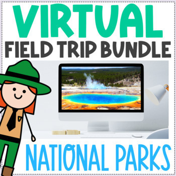
National Parks Virtual Field Trip BUNDLE - Fun Friday Brain Break Activity
Take your students on a virtual field trip to 10 national parks! This bundle includes ten virtual field trips, one for each of the featured national parks. ⭐Internet access is required to use this resource.Each virtual field trip includes:A brief PowerPoint/Google Slides presentation (23-25 slides, including title page, section dividers, and numerous brainstorming slides):Basic information about the national parkLinks to 360° photos of 6 points of interest in the parkLink to explore a place in t
Subjects:
Grades:
K - 4th
Types:
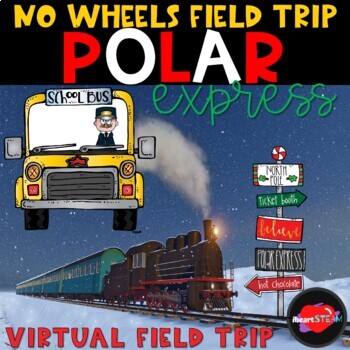
Polar Express Activities - Read Aloud - Virtual Field Trip Classroom Fun
Let's take a Christmas Virtual Field Trip to ride the POLAR EXPRESS! This No Wheels Field Trip is just what you need for the Christmas Magic to start when remote learning or in-person learning when field trips aren't possible!You don't need to worry about having the book! An online read-aloud by Liam Nelson is included!! Small snippets of the movie are included to supplement the essential parts of the book. Students will see a real-life Polar Express train, and staff will sing along!Find out if
Subjects:
Grades:
PreK - 3rd
Types:
Also included in: Christmas Bundle- Virtual Field Trips - Distance Learning
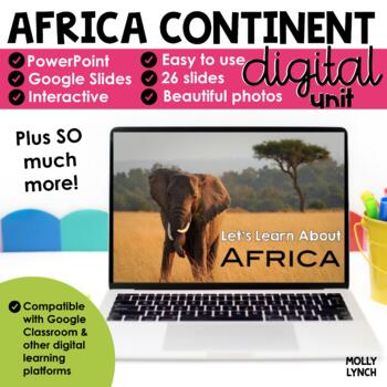
Africa Continents Study through PowerPoint/Google Slides
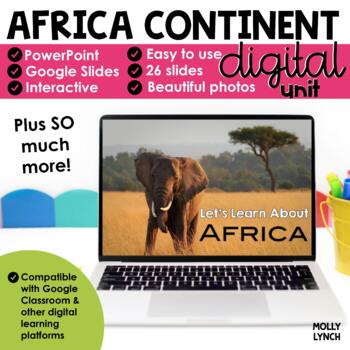
Learn about Africa! Take a journey around Africa without ever leaving your classroom with these stunning PowerPoint and Google Slides presentations.This PowerPoint/Google Slides presentation uses real photographs to give your students a peek into the amazing wonders of Africa!The Africa Continent Study includes maps, geographical information, animals, weather, cities, and important places to see! The final 3 slides quiz your students' knowledge! Looking for hands-on activities for your Continen
Grades:
K - 2nd
Also included in: Continents Bundle - A PowerPoint/Google Trip to the 7 Continents
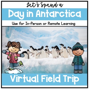
Virtual Field Trip to Antarctica, Penguins, Polar Regions, Google Slides
This virtual field trip picks up where the Arctic field trip leaves off. You are enjoying the Northern Lights, when you spot a mama penguin, who has lost her way. After learning a bit about penguins, you soon realize that penguins live in Antarctica, at the opposite end of the Earth. As you help her find her way back to Antarctica, you learn about its geography, climate, landscape, animals, and shelter through educational videos, STEM activities, science experiments, games, and movement activit
Subjects:
Grades:
PreK - 1st
Types:
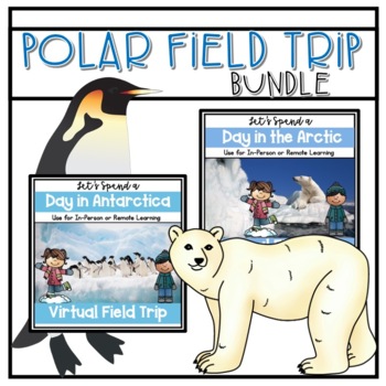
Virtual Field Trips to Polar Regions, Arctic Circle and Antarctica
This first field trip begins soon after you spot a polar bear in YOUR neighborhood. After taking a Polar Bear 101 class, you soon realize that polar bears live in the Arctic. As you help him find his way back to the North Pole, you learn about its geography, climate, landscape, animals, and shelter through educational videos, STEM activities, science experiments, crafts, and songs. Where the first field trip ends, the next one begins. You are enjoying the Northern Lights, when you spot a mama
Subjects:
Grades:
K - 2nd
Types:
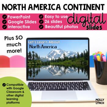
North America Continents Study through PowerPoint Google Slides Seesaw
Learn about North America! Take a journey around North America without ever leaving your classroom with these stunning PowerPoint and Google Slides presentations.This PowerPoint/Google Slides presentation uses real photographs to give your students a peek into the amazing wonders of North America!The North America Continent Study includes maps, geographical information, animals, weather, cities, and important places to see! The final 3 slides quiz your students' knowledge!Looking for hands-on ac
Grades:
K - 2nd
Also included in: Continents Bundle - A PowerPoint/Google Trip to the 7 Continents
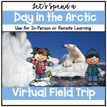
Virtual Field Trip to the Arctic, Polar Bears, Polar Regions, Google Slides
This virtual field trip begins soon after you spot a polar bear in YOUR neighborhood. After taking a Polar Bear 101 class, you soon realize that polar bears live in the Arctic. As you help him find his way back to the North Pole, you learn about its geography, climate, landscape, animals, and shelter through educational videos, STEM activities, science experiments, crafts, and songs. See the preview for more information and to see the Google Slides.Check out the follow-up field trip, A Day in A
Subjects:
Grades:
PreK - 1st
Types:
Also included in: Virtual Field Trips to Polar Regions, Arctic Circle and Antarctica
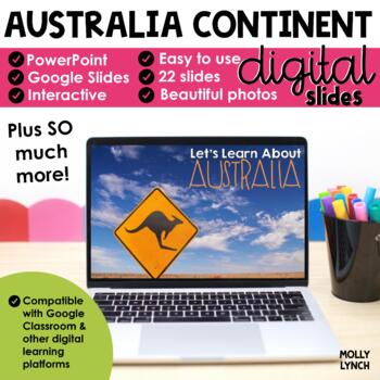
Australia Continent Study through PowerPoint Google Slides Seesaw
Learn about Australia! Take a journey around Australia without ever leaving your classroom with these stunning PowerPoint and Google Slides presentations.This PowerPoint/Google Slides presentation uses real photographs to give your students a peek into the amazing wonders of Australia!The Australia Continent Study includes maps, geographical information, animals, weather, cities, and important places to see! The final 3 slides quiz your students' knowledge! Looking for hands-on activities for y
Grades:
K - 2nd
Also included in: Continents Bundle - A PowerPoint/Google Trip to the 7 Continents
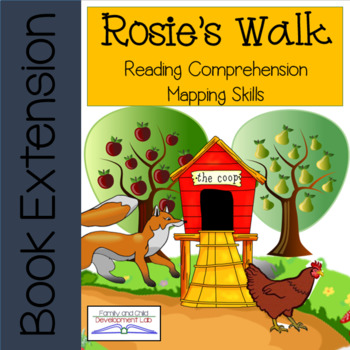
Rosie's Walk Comprehension and Mapping Activities DIGITAL DISTANCE LEARNING
Use the book, "Rosie's Walk" by Pat Hutchins to practice comprehension and learn mapping skills using these printable activities as well as digital format in google slides. In these book extension activities students will use position words to help them follow a map and draw a map. Using position words with mapping skills increases students ability to read and use a map. This book with simple language helps students create their own map and visualize locations. The pictures on each page also he
Subjects:
Grades:
K - 2nd
Types:
Also included in: Classic Book Bundle with Digital Google Slides- DISTANCE LEARNING
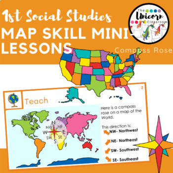
Compass Rose Map and Globe Skills Google Slides Lessons
5 days of compass rose skillsEach day contains 1 or more slides for the mini-lesson and task (activate, connect / teaching point, teach, active engagement, link, and independent task)Skills include, reading a compass rose, naming cardinal and intermediate directions (north, south, east, west, northeast, northwest, southeast, southwest) telling which direction something is, giving directions by looking at a mapWords and arrows are editableMaps included in slides:Park, town, united states, world,
Grades:
K - 2nd
Types:
Also included in: 1st Grade GA Social Studies MEGA BUNDLE
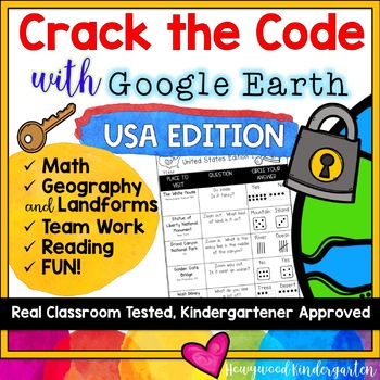
Crack the Code: USA Edition : Google Earth Virtual Field Trip & Teamwork FUN!
Welcome to an amazing interactive virtual field trip / team challenge that will send your students on a mission to explore landforms and famous destinations from coast to coast across the United States!
For each of the 5 questions, students will:
➊ Find the destination on Google Earth using a tablet or computer.
➋ Use the map to solve the question and circle the correct answer from the 2 multiple choices given… each answer comes with a visual number (either on dice, fingers, ten frame, or tally
Grades:
K - 4th
Types:
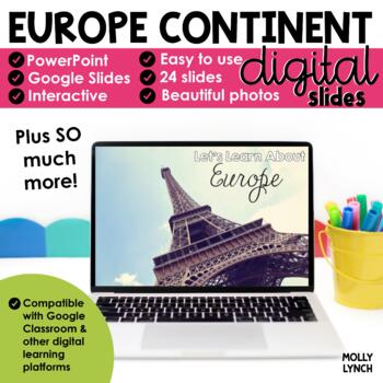
Europe Continent Study through PowerPoint Google Slides Seesaw
Learn about Europe! Take a journey around Europe without ever leaving your classroom with these stunning PowerPoint and Google Slides presentations.This PowerPoint/Google Slides presentation uses real photographs to give your students a peek into the amazing wonders of Europe!The Europe Continent Study includes maps, geographical information, animals, weather, cities, and important places to see! The final 3 slides quiz your students' knowledge!Looking for hands-on activities for your Continent
Grades:
K - 2nd
Also included in: Continents Bundle - A PowerPoint/Google Trip to the 7 Continents
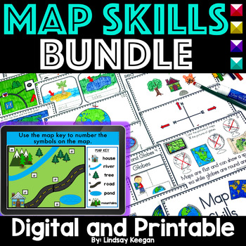
Map Skills Printable and Digital Bundle of Activities
Make planning your map skills lessons a breeze with this fun bundle of hands-on activities. Your students will love learning about maps, globes, cardinal directions, land, water, and more with these engaging resources.Included in this bundle:Map Skills Interactive Reader: This map skills book can be used across several lessons and is perfect for whole group, small group, or center activities.Each page has information about map skills and tasks for students to complete to help them show their und
Grades:
K - 3rd
Types:
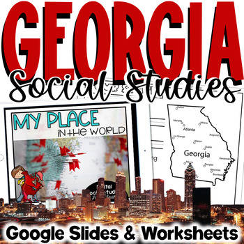
Georgia Social Studies | Me on the Map | City, County, State, Country, Continent
My Place on the Map - lessons for identifying and locating city, county, state, country, and continent - This geography unit is an interactive Google Slides Presentation (76 slides) with 18 accompanying B&W printable worksheet activities.This product is ideal for the early grades. This product includes an interactive Google Slides file that requires no extra materials for students to complete, though I have included black & white printable worksheets to go along with the slides. I plan t
Subjects:
Grades:
K - 3rd
Landforms | Mountains Valleys Deserts Coasts Activities, Slides & Worksheets
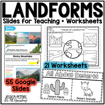
Landforms Activities including Flip Books, Google Slides lessons, and worksheets to learn Mountains, Valleys, Deserts, and Coasts - This is an interactive Google Slides Lesson (55 slides) with 21 accompanying B&W printable worksheet activities. Google Slides include the following:14 slides to teach Mountains8 slides to teach Valleys13 slides to teach Deserts15 slides to teach CoastsGraphic Organizer to Show All LandformsThis product includes a Google Slides file that can be used for teaching
Subjects:
Grades:
K - 2nd
Map Skills First Grade Me On The Map Activities Google Slides Kindergarten 2nd
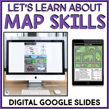
Me On The Map is a great book to use when teaching your students about map skillsand geography. This resource includes interactive google slides activities for K-2 map skills. Students will learn about reading a map, the map key, compass rose and more! Includes activities with draggable pictures and students can type into the text box. Included in this resource:Teaching slides for pictures and symbols on a map Map Matching Worksheet - students match the picture to the symbol on a map. Using A M
Subjects:
Grades:
K - 2nd
Types:
Also included in: Map Skills Worksheet Me On The Map Activities First Grade Kindergarten

Holidays Around the World Unit - Interactive Googles Slides
Students will back their bags as they get ready to travel around the world with the click of their computers! This resource can be used for teaching live Google Meets, or as and individual student assignment. You will get the opportunity to travel to 10 different countries to learn how these countries celebrate their winter (some summer) holidays. In each country, there are fun facts, a video showing the country, holiday read aloud, and fun craft.This product includes:-Interactive suitcase packi
Subjects:
Grades:
K - 5th
Maps Google Slides (Distance Learning)
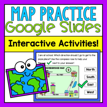
This product includes a Google Slides presentation all about Maps! You can do this with your whole class, or assign it to individual students in Google Classroom! Just make sure that when you assign to your students in Google Classroom, you "make a copy for each student!"What's Included?-2 informational slides to teach about maps & elements of maps-Lots of map practice! 3 slides for students to circle the different map elements (movable circles already provided on each slide)-3 slides for st
Subjects:
Grades:
K - 2nd
Antarctica Continents Study through PowerPoint Google Slides Seesaw
Learn about Antarctica! Take a journey around Antarctica without ever leaving your classroom with these stunning PowerPoint and Google Slides presentations.This PowerPoint/Google Slides presentation uses real photographs to give your students a peek into the amazing wonders of Antarctica!The Antarctica Continent Study includes maps, geographical information, animals, weather, cities, and important places to see! The final 3 slides quiz your students' knowledge! Looking for hands-on activities f
Grades:
K - 2nd
Also included in: Continents Bundle - A PowerPoint/Google Trip to the 7 Continents
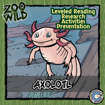
Axolotl Activities - Leveled Reading, Printables, Slides & Digital INB
Zoo Wild resources are complete suites of teaching materials to help your class get wild! The content is written at three different reading levels for enrichment or remediation. From social media profiles to coloring activities this is an all-in-one solution to bring students face-to-face with our wildlife friends and learn about conservation. And any new creations for this animal will be added to the listingIn a Zoo Wild resource you will receive:◈Wildlife Fact Sheet◈Habitat Coloring Page◈Resea
Subjects:
Grades:
K - 8th
Types:
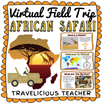
African Safari Virtual Field Trip - The Savanna
Take your students on an engaging African Safari adventure with this virtual field trip for primary students! It can be used to learn about Africa, the Savanna and six of the animals that live there including lions, leopards, cape buffalo, rhinoceros, elephants and giraffes. It's also a great way to provide a travel experience in the classroom!THIS RESOURCE INCLUDES:Google Slides Virtual Field Trip Presentation + 6 YouTube VideosPlease ensure you have internet and YouTube access before purchasin
Subjects:
Grades:
K - 3rd
Types:
Showing 1-24 of 761 results

