92 results
Preschool geography activboard activities
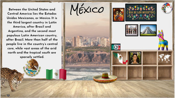
Hispanic Heritage Month~ Virtual Field Trip to Spanish Speaking Countries
I have collected a comprehensive collection of resources, activities, and read alouds intended to celebrate Hispanic Heritage through virtual field trip to each country. These animated Google Slides are great for online, in-person class learning and/or communication. This is an awesome way to keep your audience engaged and allows students of all levels to access. Also a great resource to share with parents to encourage/engage students in reading at home. Currently there are over 50+ resources li
Grades:
PreK - 5th
Types:
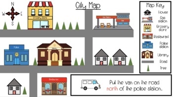
Map Skills & Cardinal Directions Google Slides
These slide are packed full of interactive map activities. It includes the following slides.1 Definitions page1 Fill in the compass rose4 Holiday follow the cardinal directions4 use cardinal directions on a map4 map key questions3 map questions3 Fairytale use the arrows to find the wayThese slides meet many of the geography standards for elementary students.
Subjects:
Grades:
PreK - 2nd
Types:
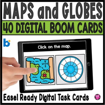
Maps and Globes Kindergarten and 1st Grade Digital Social Studies Centers
Add exciting DIGITAL activities to your map skills units with these maps and globes task cards and Boom Cards! This is a set of 40 map skills and globes task cards to give kindergarten, 1st grade, and SPED students practice with different types of maps, land, water, map symbols, globes, map keys, compass rose, buildings and more. These NO PREP map and globe digital activities will go with ANY geography/social studies units and are perfect for beginning primary grade students!You will be able to
Grades:
PreK - 1st
CCSS:
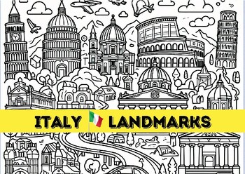
Discover Italy with this engaging coloring page Includes famous Italian landmark
Ciao Bella! Embark on an Italian Adventure with These Captivating Coloring Pages! Calling all wanderlust-stricken souls and coloring enthusiasts! Get ready to brushstroke your way through the breathtaking beauty of Italy with this enchanting collection of coloring pages.Unleash your inner Michelangelo as you bring to life iconic landmarks that have whispered stories through the ages:The Colosseum, where gladiatorial battles once roared, now stands as a monument to ancient might. (Insert image of
Subjects:
Grades:
PreK - 3rd
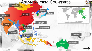
Asian Pacific Heritage Month~ Virtual Field Trip
I have collected a comprehensive collection of resources, activities, and read alouds intended to celebrate Asian Pacific Heritage through virtual field trip to each country. Each country has links to videos, online research resources (Britannica, National Geographic, ect) and cultural activities. These animated Google Slides are highly engaging and great for online, in-person class learning and/or communication. This is an awesome way to keep your audience engaged and allows students of all lev
Grades:
PreK - 5th
Types:
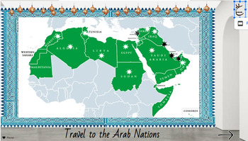
Arab Heritage Month~ Virtual Field Trip
I have collected a comprehensive collection of resources, activities, and read alouds intended to celebrate Arab Heritage through virtual field trip to each country. These animated Google Slides are great for online, in-person class learning and/or communication. This is an awesome way to keep your audience engaged and allows students of all levels to access. Also a great resource to share with parents to encourage/engage students in reading at home. Currently there are over 50+ resources linked
Subjects:
Grades:
PreK - 5th
Types:
Discover Italy with this engaging coloring page Includes famous Italian landmark
Ciao Bella! Embark on an Italian Adventure with These Captivating Coloring Pages! Calling all wanderlust-stricken souls and coloring enthusiasts! Get ready to brushstroke your way through the breathtaking beauty of Italy with this enchanting collection of coloring pages.Unleash your inner Michelangelo as you bring to life iconic landmarks that have whispered stories through the ages:The Colosseum, where gladiatorial battles once roared, now stands as a monument to ancient might. (Insert image of
Subjects:
Grades:
PreK - 3rd

Girls Countries Costume and Flags Clipart (30 Countries )
Girls Countries Costume and Flags Clipart (30 Countries )This clipart set features cute and adorable girls wearing costumes from different countries. It comes in both color and BW versions and includes flags in color and BW. In total 120 PNG image files with transparent backgrounds.30 Countries United States (USA) Canada United Kingdom ( England) Australia FranceGermany Italy Spain Japan China India Brazil Mexico South Africa Russia16. Egypt 17. Argentina 18. Greece 19. South Korea 20. New Zeal
Grades:
PreK - 6th, Staff
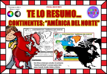
FICHA RESUMEN - Te lo Resumo... "América del Norte" (IMPRIMIBLES) |GEOGRAFÍA|
A sus estudiantes les encantará esta ficha resumen sobre "Los Continentes: América del Norte". Esta hoja incluye pequeños datos del hombre de: Canadá, Estados Unidos y México. Esta hoja resumen es perfecta para revisión, una actividad rápida, un proyecto de investigación, un organizador gráfico, centros, proyectos de toda la clase o proyectos de equipo. Los estudiantes pueden divertirse mientras aprenden todo sobre el continente de América del Norte. ¡Esta hoja resumen es perfecta para presentar
Grades:
PreK - 11th, Higher Education, Adult Education
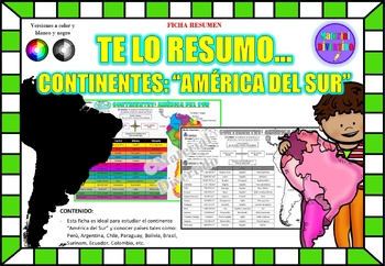
FICHA RESUMEN - Te lo Resumo... "América del Sur" (IMPRIMIBLES) |GEOGRAFÍA|
A sus estudiantes les encantará esta ficha resumen sobre "Los Continentes: América del Sur". Esta hoja incluye pequeños datos del hombre de: Perú, Chile, Argentina, Brasil, Paraguay, Venezuela, etc. Esta hoja resumen es perfecta para revisión, una actividad rápida, un proyecto de investigación, un organizador gráfico, centros, proyectos de toda la clase o proyectos de equipo. Los estudiantes pueden divertirse mientras aprenden todo sobre el continente de América del Sur. ¡Esta hoja resumen es pe
Grades:
PreK - 12th, Higher Education, Adult Education
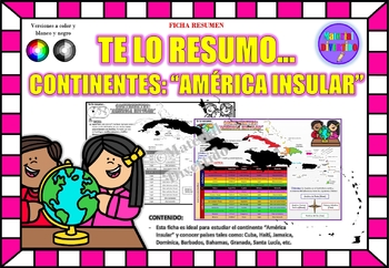
FICHA RESUMEN - Te lo Resumo... "América Insular" (IMPRIMIBLES) |GEOGRAFÍA|
A sus estudiantes les encantará esta ficha resumen sobre "Los Continentes: América Insular (Antillas)". Esta hoja incluye pequeños datos del hombre de: Cuba, Haití, Jamaica, Dominica, Barbados, Bahamas, Granada, Santa Lucía, etc. Esta hoja resumen es perfecta para revisión, una actividad rápida, un proyecto de investigación, un organizador gráfico, centros, proyectos de toda la clase o proyectos de equipo. Los estudiantes pueden divertirse mientras aprenden todo sobre el continente de América In
Grades:
PreK - 12th, Higher Education, Adult Education
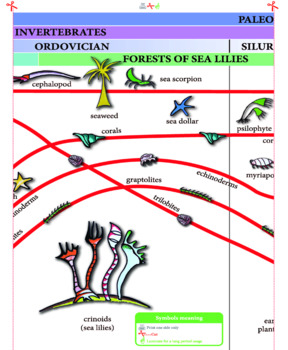
Timeline of Life - 1,3 meters long
This timeline is a very valuable resource to use at home, to study geological eras and the evolution of species. Children can analyze evolutionary patterns, from the Cambrian Period to modern times. Each line is clearly marked and contains beautifully illustrated images. Also highlighted are the significant events in the evolutionary history of the planet: the disappearance of trilobites, glacial periods, the appearance of dinosaurs. This information allows children to understand the events that
Subjects:
Grades:
PreK - 2nd
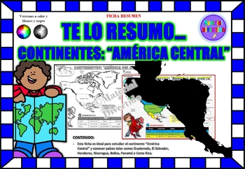
FICHA RESUMEN - Te lo Resumo... "América Central" (IMPRIMIBLES) |GEOGRAFÍA|
A sus estudiantes les encantará esta ficha resumen sobre "Los Continentes: América Central". Esta hoja incluye pequeños datos del hombre de: Guatemala, El Salvador, Honduras, Nicaragua, Belice, Panamá y Costa Rica. Esta hoja resumen es perfecta para revisión, una actividad rápida, un proyecto de investigación, un organizador gráfico, centros, proyectos de toda la clase o proyectos de equipo. Los estudiantes pueden divertirse mientras aprenden todo sobre el continente de América Central. ¡Esta ho
Grades:
PreK - 12th, Higher Education, Adult Education
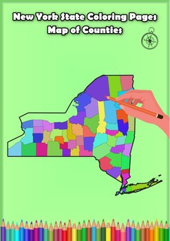
New York State Coloring Pages Map of Counties Highlighting Rivers Lakes Cities
Click Here>>> for more interactive resourcesNew York State Coloring Pages Map of Counties Highlighting Rivers Lakes CitiesOpen your mind to New York colorful adventure with these exciting coloring pages! Explore and bring each New York county to life with these detailed and engaging illustrations. Each page offers a unique opportunity to explore Alabama's geography, highlighting its rivers, lakes, and key towns.These coloring pages are ideal for anyone interested in discovering the beau
Grades:
PreK - 12th, Higher Education
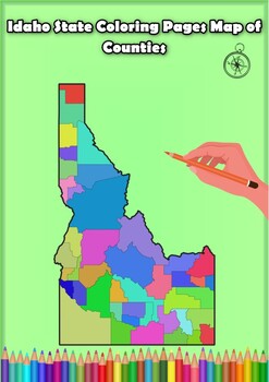
Idaho State Coloring Pages Map of Counties Highlighting Rivers Lakes Cities
Click Here>>> for more interactive resourcesIdaho State Coloring Pages Map of Counties Highlighting Rivers Lakes CitiesOpen your mind to Idaho colorful adventure with these exciting coloring pages! Explore and bring each Idaho county to life with these detailed and engaging illustrations. Each page offers a unique opportunity to explore Alabama's geography, highlighting its rivers, lakes, and key towns.These coloring pages are ideal for anyone interested in discovering the beauty and ge
Grades:
PreK - 12th, Higher Education
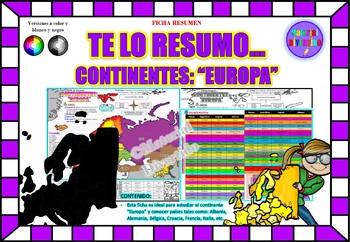
FICHA RESUMEN - Te lo Resumo... "Europa" (IMPRIMIBLES) |GEOGRAFÍA|
A sus estudiantes les encantará esta ficha resumen sobre "Los Continentes: Europa". Esta hoja incluye pequeños datos del hombre de: Albania, Alemania, Bélgica, Croacia, Francia, Italia, etc. Esta hoja resumen es perfecta para revisión, una actividad rápida, un proyecto de investigación, un organizador gráfico, centros, proyectos de toda la clase o proyectos de equipo. Los estudiantes pueden divertirse mientras aprenden todo sobre el continente de Europa. ¡Esta hoja resumen es perfecta para prese
Grades:
PreK - 12th, Higher Education, Adult Education
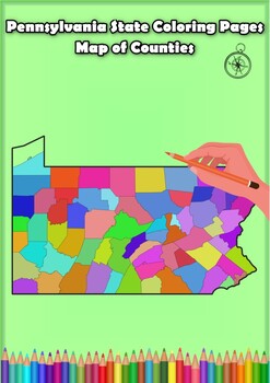
Pennsylvania State Coloring Pages Map of Counties Highlighting Rivers Lakes City
Click Here>>> for more interactive resourcesPennsylvania State Coloring Pages Map of Counties Highlighting Rivers Lakes CitiesOpen your mind to Pennsylvania colorful adventure with these exciting coloring pages! Explore and bring each Pennsylvania county to life with these detailed and engaging illustrations. Each page offers a unique opportunity to explore Alabama's geography, highlighting its rivers, lakes, and key towns.These coloring pages are ideal for anyone interested in discover
Grades:
PreK - 12th, Higher Education
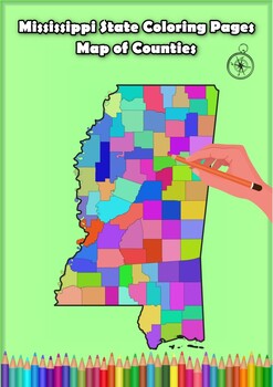
Mississippi State Coloring Pages Map of Counties Highlighting Rivers Lakes Citie
Click Here>>> for more interactive resourcesMississippi State Coloring Pages Map of Counties Highlighting Rivers Lakes CitiesOpen your mind to Mississippi colorful adventure with these exciting coloring pages! Explore and bring each Mississippi county to life with these detailed and engaging illustrations. Each page offers a unique opportunity to explore Alabama's geography, highlighting its rivers, lakes, and key towns.These coloring pages are ideal for anyone interested in discovering
Grades:
PreK - 12th, Higher Education
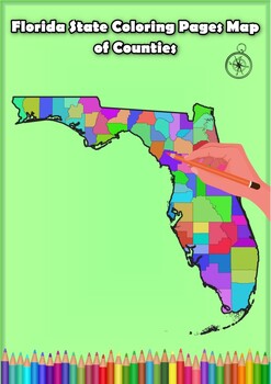
Florida State Coloring Pages Map of Counties Highlighting Rivers Lakes Cities
Click Here>>> for more interactive resourcesFlorida State Coloring Pages Map of Counties Highlighting Rivers Lakes CitiesOpen your mind to Florida colorful adventure with these exciting coloring pages! Explore and bring each Florida county to life with these detailed and engaging illustrations. Each page offers a unique opportunity to explore Alabama's geography, highlighting its rivers, lakes, and key towns.These coloring pages are ideal for anyone interested in discovering the beauty
Grades:
PreK - 12th, Higher Education
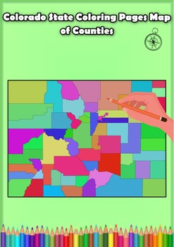
Colorado State Coloring Pages Map of Counties Highlighting Rivers Lakes Cities
Click Here>>> for more interactive resourcesColorado State Coloring Pages Map of Counties Highlighting Rivers Lakes CitiesOpen your mind to Colorado colorful adventure with these exciting coloring pages! Explore and bring each Colorado county to life with these detailed and engaging illustrations. Each page offers a unique opportunity to explore Alabama's geography, highlighting its rivers, lakes, and key towns.These coloring pages are ideal for anyone interested in discovering the beau
Grades:
PreK - 12th, Higher Education
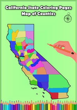
California State Coloring Pages Map of Counties Highlighting Rivers Lakes Cities
Click Here>>> for more interactive resourcesCalifornia State Coloring Pages Map of Counties Highlighting Rivers Lakes CitiesOpen your mind to California colorful adventure with these exciting coloring pages! Explore and bring each California county to life with these detailed and engaging illustrations. Each page offers a unique opportunity to explore Alabama's geography, highlighting its rivers, lakes, and key towns.These coloring pages are ideal for anyone interested in discovering th
Grades:
PreK - 12th, Higher Education
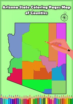
Arizona State Coloring Pages Map of Counties Highlighting Rivers Lakes Cities
Click Here>>> for more interactive resourcesArizona State Coloring Pages Map of Counties Highlighting Rivers Lakes CitiesOpen your mind to Arizona colorful adventure with these exciting coloring pages! Explore and bring each Arizona county to life with these detailed and engaging illustrations. Each page offers a unique opportunity to explore Alabama's geography, highlighting its rivers, lakes, and key towns.These coloring pages are ideal for anyone interested in discovering the beauty
Grades:
PreK - 12th, Higher Education
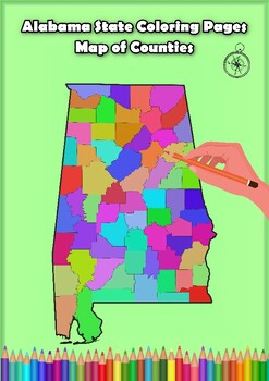
Alabama State Coloring Pages Map of Counties Highlighting Rivers Lakes Cities
Click Here>>> for more interactive resourcesAlabama State Coloring Pages Map of Counties Highlighting Rivers Lakes CitiesOpen your mind to Alabama colorful adventure with these exciting coloring pages! Explore and bring each Alabama county to life with these detailed and engaging illustrations. Each page offers a unique opportunity to explore Alabama's geography, highlighting its rivers, lakes, and key towns.These coloring pages are ideal for anyone interested in discovering the beauty
Grades:
PreK - 12th, Higher Education
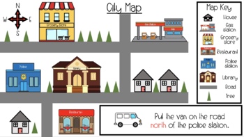
Map Skills & Cardinal Directions Seesaw Slides
These slide are packed full of interactive map activities. It includes the following slides.1 Definitions page1 Fill in the compass rose4 Holiday follow the cardinal directions4 use cardinal directions on a map4 map key questions3 map questions3 Fairytale use the arrows to find the wayThese slides meet many of the geography standards for elementary students.
Subjects:
Grades:
PreK - 2nd
Types:
Showing 1-24 of 92 results

