2,767 results
Geography graphic organizer pdfs
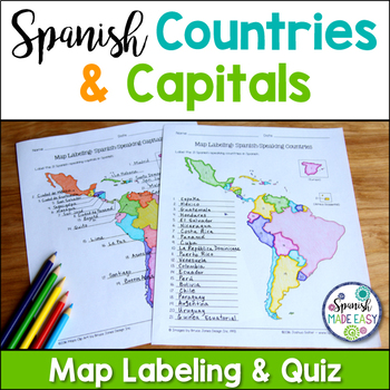
Spanish-Speaking Countries and Capitals Maps and Quiz
This is a map labeling activity and matching quiz over the 21 Spanish-speaking countries and capitals. Students will label and identify the 21 Spanish-speaking countries and capitals in Spanish. This is a great activity when reviewing Spanish-speaking countries and capitals or Spanish geography. Makes a great coloring page. Answer keys are included.
Countries included:
España, México, Costa Rica, El Salvador, Guatemala, Honduras, Nicaragua, Panamá, Cuba, La República Dominicana, Puerto Rico, Ar
Subjects:
Grades:
6th - 12th
Also included in: Spanish Countries and Capitals Geography Bundle
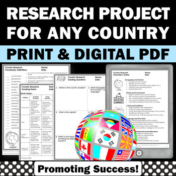
Country Research Projects Study Report Countries Around the World Research
Country Research Projects: This newly revised (July 2023) country study worksheet packet will help your 4th grade, 5th grade, and 6th grade social studies students conduct a country study research project for countries around the world. It not only includes country research graphic organizers and templates and for gathering information and conducting country research, but also guidance and skills for country report writing and giving a presentation. Grading rubrics, answer keys, differentiated a
Subjects:
Grades:
4th - 7th
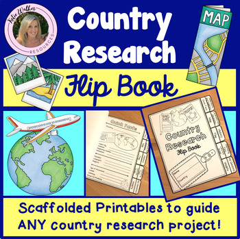
Country Research Project
Scaffolded printable flip book that can be used for ANY country research project!This resource is now available as a bundle with the matching Google Slides version! Click here to view and save $$$. Perfect for distance learning and hybrid teaching. This resource is also available in a bundle that includes 5 of my best-selling flip book resources! Click here to view and save $$$!Click here to view the digital Google Slides version. This ready-to-print flip book template can be used to scaffol
Grades:
3rd - 6th
Also included in: Country Research Project Bundle
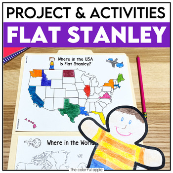
Flat Stanley Project
This Flat Stanley project is an engaging integrated unit for your students! This unit has everything you need to mail your own Flat Stanley projects around the world. Your students will love getting mail (and won't even know they are learning)!This Common Core aligned resource also includes Flat Stanley comprehension questions, vocabulary words and graphic organizers to help students understand the novel.This makes for a great activity for students! Students will create their own Flat Stanley p
Subjects:
Grades:
2nd - 4th
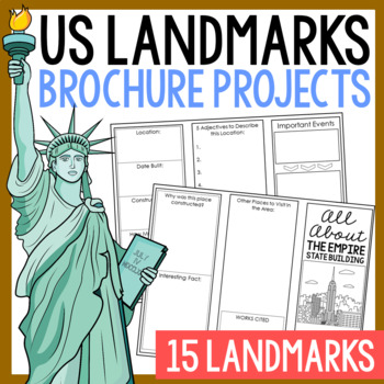
USA LANDMARKS Research Projects | United States Geography Report Activity
This bundle of (15) two-sided tri-fold research brochure templates allows students to dig deeper into facts about famous landmarks in the United States. You'll also find a BLANK template to use with ANY landmark that is not included with this resource. Makes a great addition to your American history and geography unit studies throughout the year. Keep these in your early finisher folder or your sub-folder for no-prep fun.CLICK HERE to save 30% on this resource in the American Landmarks activity
Subjects:
Grades:
3rd - 7th
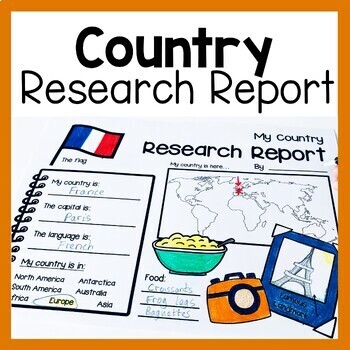
Country Research Report Worksheets and Graphic Organizers Google Slides
Are you looking for engaging activities for writing a country research project? These country research graphic organizer worksheets are perfect for your literacy and social studies lessons about countries. They are ideal for research projects and report writing. They are also great for reading lessons with informational texts.These informational essay graphic organizers are offered as no prep printables, as well as in digital formats (TPT Easel and Google Slides). Here's the thing. You want your
Subjects:
Grades:
1st - 3rd
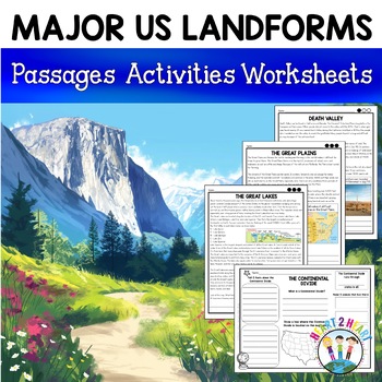
Major US Landforms Yellowstone National Park Yosemite National Park Grand Canyon
Our Major US Landforms unit includes reading passages and activities about the Great Lakes, Yellowstone, Grand Canyon, Arches National Park, Yosemite, Great Plains, Death Valley & more! Reading passages come in 3 levels of difficulty.These geographical features are included:The Great BasinThe Gulf of MexicoThe Great LakesDeath ValleyThe Atlantic Coastal PlainThe Continental DivideThe Great PlainsArches National ParkGrand CanyonYellowstone National ParkYosemite National ParkA Digital Version
Grades:
3rd - 5th
Geography Mapping Skills BUNDLE (World Geography Bundle), Mapping Activities
This Mapping Skills BUNDLE, Google Classroom, Print & Digital Distance Learning covers important foundational mapping skills topics such as Geography Overview, Types of Maps, Map Elements, Key Places on Maps, Latitude, Longitude, Time Zones, Climate Zones, Five Themes of Geography, & Biomes. It also includes historical thinking skills topics such as primary and secondary sources, artifacts, timelines, political cartoons, debates, push/pull factors, charts & graphs, comparing, contras
Grades:
6th - 12th
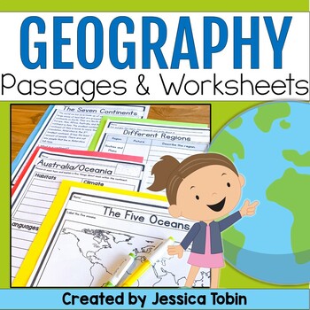
Geography Unit, US & World Geography Worksheets and Passages, Social Studies
This no-prep world geography social studies resource is a perfect supplement to use for your lessons. It offers an introduction to geography and large geographical designations and then focuses on each of the seven continents. There are reading comprehension passages, graphic organizers, cut and glue activities, and answer keys. There is also a digital conversion of this resource available in Google Slides. They have been digitally converted so that you can use the paper version or digital conve
Subjects:
Grades:
2nd - 3rd
Geography Activities Major Landforms and Bodies of Water Reading Passages Unit
This fun unit is perfect for the back to school season to introduce 12 major landforms and reinforce geography skills! It includes 12 major landforms with reading passages, organizers, vocabulary posters, flip book, and a unit test.This activity pack is perfect for introducing and reviewing geography skills through creative hands-on activities. Students will love creating this geography flip book in centers or social studies stations. All the activities in this pack will reinforce and expand the
Grades:
2nd - 5th
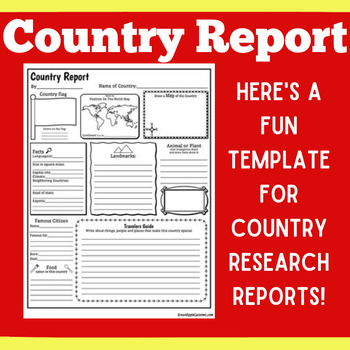
COUNTRY RESEARCH REPORT Template Project Projects | 1st 2nd 3rd 4th 5th Grade
COUNTRY RESEARCH REPORT Template Project Projects | 1st 2nd 3rd 4th 5th GradeYour students will love this country research report template! Perfect for your students to use as they research and write about a different country. This country research graphic organizer template helps them to organize their facts and information in a clear and concise way!❤ CLICK HERE TO FOLLOW GREEN APPLE LESSONS!
Subjects:
Grades:
1st - 5th
Also included in: Graphic Organizer Organizers Report Project Template BUNDLE
Travel Brochure
Students will love creating their own travel brochure! Students can research, create, and present information about any country! Great for culture studies and country presentations. This format can also be made into a travel style pamphlet/booklet with multiple pages. Choose from 8 different cover layouts and 6 different inside layouts. Includes sections for:*pictures*map*Interesting Facts*Bubble Map for vocabulary words*blank picture/writing lines for any additional information *culture*econom
Grades:
1st - 5th
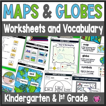
Maps and Globes Worksheets - 1st Grade Map Skills - Kindergarten Mapping Skills
Introduce and teach kindergarten and first grade students all about Maps and Globes, Cardinal Directions, Landforms, and Bodies of Water using this fun and engaging geography unit! These map skills worksheets cover landforms, oceans, relative directions, maps, globes, map keys and symbols, compass rose, Venn Diagrams, 24 geography words, and let your students design their own maps. These maps and globes activities are designed to use with ANY social studies curriculum!Students will practice, cre
Grades:
K - 1st
CCSS:
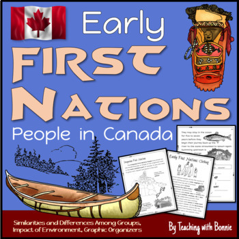
First Nations People in Early Canada, Six People Groups: Gr. 3 NEW BC Curriculum
Learn about the 6 different groups of early First Nations People in Canada according to their geographic location. Learn how the environment influenced food, home, community, travel, trade, government, traditions and celebrations. Graphic organizers help students to sort information visually and compare similarities and differences. A wide range of thinking activities are include throughout.Created for Grade 3 BC's NEW Curriculum.Contents Curricular and Content Competencies AddressedIntroduction
Grades:
2nd - 4th
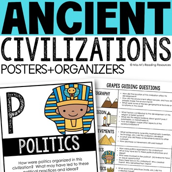
Ancient Civilizations GRAPES Posters Ancient Greece Ancient Rome Ancient China
Help your students learn and organize info about ancient civilizations with these G.R.A.P.E.S. posters, guiding questions, and graphic organizers! The GRAPES Ancient Civilizations Poster and Graphic Organizer Set is an easy acronym to organize information for the basic traits of ancient civilizations. G.R.A.P.E.S. is an acronym for:G- GeographyR- ReligionA- AchievementsP- PoliticsE- EconomicsS- Social StructureGRAPES is an effective way to learn and organize information about different civilizat
Grades:
6th - 8th
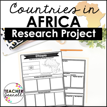
Country Research Project Posters - Africa
The Africa Research Project is the perfect tool for teachers looking for an engaging way to help their students learn about African countries. With this unique project, teachers can allow students to explore an African country of their choice in-depth, gaining a greater understanding and appreciation of its geography, population, government type, current leaders, currency, and much more.The research process has been simplified with comprehensive graphic organizers that provide structure for each
Grades:
3rd - 8th
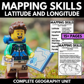
Mapping Skills And Activities - Latitude Longitude Maps and Globes - Geography
Mapping Skills and Activities for Geography featuring Latitude and Longitude! For these geography activities, students practice mapping skills while learning about latitude and longitude in a fun and engaging way. A variety of fun mapping activities are included - use these latitude and longitude activities for your upcoming geography unit or mapping unit! The included activities would make a great addition to a geography interactive notebook!This activity includes the following latitude and lon
Grades:
1st - 4th
Five Themes of Geography Activity BUNDLE (World Geography Curriculum Bundle)
Five Themes of Geography BUNDLE, Google Classroom, Print & Digital Distance Learning ALSO PART OF A WORLD GEOGRAPHY MEGA BUNDLE, covers Five Themes, Spheres, Inside the Earth, Landforms and Waterways, Earth & Sun Relationships, Weather and ClimateThis bundle includes links to engaging resource in Dropbox and Google Format as well as direct PDF downloads. Sign up for email updates and follow me on TPT for updates.INCLUDES:Five Themes Unit Lesson Plan Guide for World Geography, Back To Sc
Grades:
7th - 12th
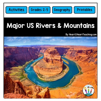
U.S. Major Rivers & Mountains - Major Rivers of the United States Activity Pack
In this comprehensive unit, students will learn about 7 major rivers and 3 major mountain chains that played an incredibly important role in the history of the United States. Students will love the reading passages and activities about these major rivers and mountain chains. What's Inside:Landforms: Rivers and MountainsMississippi RiverMissouri RiverColorado RiverOhio RiverHudson RiverSt. Lawrence RiverRio Grande RiverThe Rocky MountainsThe Appalachian MountainsThe Sierra Nevada MountainsTeacher
Subjects:
Grades:
2nd - 4th
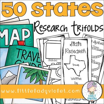
50 States Research Project Report Trifold Brochures
Looking for a fun way to research the Fifty States? This packet includes double sided brochures for each of the United States! Students will use these templates to record their research project. Also included is an early finisher map. Students can either use it to label or color the states.
The brochures include:
State Symbols (state bird, state flower, state animal, state flag)
Map Outline
Businesses and Natural Resources
Interesting Facts
Where on the Map
Population
Capital
Current Govern
Subjects:
Grades:
3rd - 5th
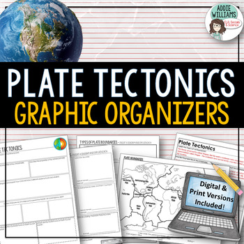
Plate Tectonics / Boundaries Graphic Organizers - PRINT & DIGITAL
Teaching about plate boundaries and plate tectonics? -These graphic organizers are a great way for students to review different plate boundaries, learn about the Theory of Plate tectonics and organize their notes /ideas. Excellent for review or for group work. Includes 3 graphic organizers to mix and match, a Review/Challenge Activity Summary Activity, Mapping Worksheet, and Extension / Lesson Ideas. Includes answer keys for the graphic organizers.This resource also includes a link to a digita
Subjects:
Grades:
7th - 10th, Adult Education
Types:
Also included in: Plate Tectonics / Earthquakes / Volcanoes Organizers | PRINT & DIGITAL
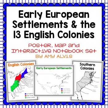
Early European Settlements & 13 English Colonies Poster and INB
This poster, map and interactive notebook INB set covers covers the early American settlements of Santa Fe, St. Augustine, Roanoke Island, Jamestown, Plymouth and Quebec as well as the original 13 colonies.You will get the following:pg. 3: Poster of Early European Settlements (Santa Fe, St. Augustine, Roanoke Island, Jamestown, Plymouth, and Quebec)pg. 4: Map of Early European Settlements where students can map where each settlement was.pg. 5-12: Posters of 13 Coloniespg. 13: Map page for stud
Grades:
5th - 9th
Little Red Riding Hood Retelling Activities, Story Maps, Fairy Tale Sequencing
Kids will love using the Little Red Riding Hood retell printables to create story maps to practice retelling stories, fairy tale sequencing, and map skills that build oral language, vocabulary, and language comprehension skills. This resource was also designed to help you integrate social studies and teaches kindergarten and first grade children about map skills such as using a compass rose and following cardinal directions.✅How Can I Use This Little Red Riding Hood Story Map?As a retelling and
Subjects:
Grades:
PreK - 2nd
Three Little Pigs Retelling Activities, Story Retell Maps, Fairy Tale Sequencing
Kids will love using The Three Little Pigs retell printables to create story maps to practice retelling stories, fairy tale sequencing, and map skills that build oral language, vocabulary, and language comprehension skills. This resource was also designed to help you integrate social studies and teaches kindergarten and first grade children about map skills such as using a compass rose and following cardinal directions.✅How Can I Use This Three Little Pigs Story Map?As a retelling and sequencin
Subjects:
Grades:
PreK - 2nd
Showing 1-24 of 2,767 results


