182 results
3rd grade geography scaffolded notes
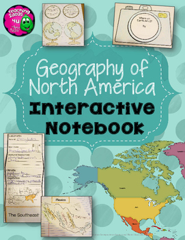
North America & United States Geography Interactive Notebook 3rd Grade
North America & United States Geography Interactive Notebook UnitThis is a complete interactive notebook unit with assessments for North American Geography, including the United States, Canada, Mexico, and the Caribbean. There are 95 pages, including activities, vocabulary, and photos of the completed activities. There are maps of North America, the United States regions, Canada, Mexico, and the Caribbean. There is a Venn diagram that can be used for comparison activities. A final test is
Subjects:
Grades:
3rd - 4th
Also included in: North America Social Studies Interactive Notebook Year-long BUNDLE
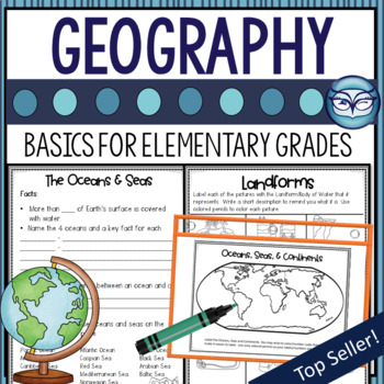
Geography Map Skills Lessons, Activities, and Assessment for Grades 2-5
Begin your Geography unit with this engaging Geography Basics unit! Simple to follow directions and student journal pages are included. Learn about continents, oceans, hemispheres and more. Great for back to school, a social studies unit on geography, or as a review. Many teachers have used it for sub plans, too!To keep it simple, I have included student journal pages to use instead of interactive notebook pages. This keeps your time for your lessons, not for cutting and gluing. We made paper b
Subjects:
Grades:
3rd - 5th
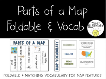
#SpringDeals24 Parts of a Map Foldable and Vocabulary Activity
NEWLY UPDATED with fresh fonts and a vocabulary key! This foldable is easy for students to use and contains definitions for map vocabulary such as: map titlemap legendcompass rosecardinal directions (intermediate directions)coordinate gridYou can use the provided fill in notes and key, or use just the front page and display the key or fill in notes for students to follow along- whatever works best for your students!Also included is a vocabulary match that can be used to continue the notes or as
Subjects:
Grades:
2nd - 6th
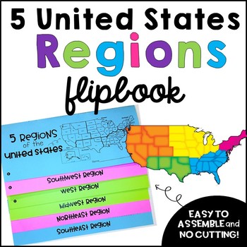
United States Regions Flipbook
The U.S. Regions Flipbook is a fun way to learn about each region of the United States!
The flipbook can easily be used with your current social studies curriculum, as a note taking tool, with group projects, to learn states and capitals, or as an assessment. Each region has a map where students will label the state and the capital for each region. The best part... no cutting with assembly! Click on the preview to see more!
The 5 US Regions included in the flipbook:
o Northeast Region
o Southe
Grades:
3rd - 6th
French Core Immersion Notebook/Cahier Interactif Géographie /Social studies
Cahier interactif de géographie. French GeographyLa rose des vents*La ligne du temps*Les océans*La carte géographique* La légende* Latitude longitude*MéridiensInspiré de la Progression des Apprentissages1. Le Guide de l'enseignant comprend les détails, les notions et les suggestions de mise en page (avec photos). - Connaissances liées à l'organisation d'une société sur son territoire- Techniques particulières à la géographie et à l'histoire2. Le cahier de l'élève comprend plus de 50 activités pr
Subjects:
Grades:
1st - 6th
Types:
Also included in: 8 cahiers interactifs en Géographie et Histoire Bundle
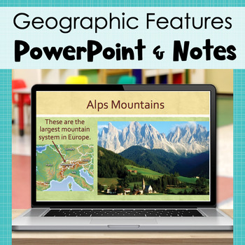
3rd Grade Geography - PowerPoint and Student Notes (SOL 3.6)
Whew, this SOL is a doozy! There's a lot of information to cover, and many of our students don't have a lot of background knowledge about the concepts. Considering these factors, I created a Powerpoint with lots of visuals (both real world pictures and maps) as well as notes to accompany the powerpoint. The no-prep, printable notes have spaces for students to fill in vocabulary words as you go through the PowerPoint. It also includes bonus facts, questions, and short answer prompts to extend stu
Grades:
3rd
Also included in: Geographic Features BUNDLE - 3rd Grade Geography Unit - VA SOL 3.6
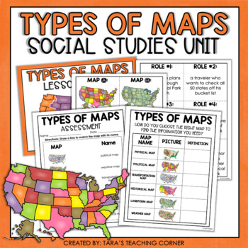
Types of Maps | Social Studies Mini Unit
Engage your students like never before with this Types of Maps Social Studies Unit! See the preview above to get a sneak peak at all the great components of this resource! This Resource Includes: •Teacher Guide•Identifying Types of Maps Task Cards•Types of Maps Worksheet/INB Activity (differentiated)•Types of Maps Assessment•Answer Keys•PowerPoint:This PowerPoint was designed to be an introduction to the skill. It is short enough to be used as a mini lesson. The slides can also be printed out to
Grades:
2nd - 5th
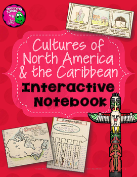
Celebrating Cultures of North America & Caribbean Interactive Notebook 3rd Grade
Cultures of North America & Caribbean Interactive Notebook UnitThis is a complete interactive notebook unit with assessments for the cultures of North America, including the United States, Canada, Mexico, and the Caribbean. There are 72 pages, including activities, vocabulary, and photos of the completed activities. There are maps of North America, the United States regions, Canada, Mexico, and the Caribbean. There are many different activities for students. A final test is included. Thes
Subjects:
Grades:
3rd - 4th
Also included in: North America Social Studies Interactive Notebook Year-long BUNDLE
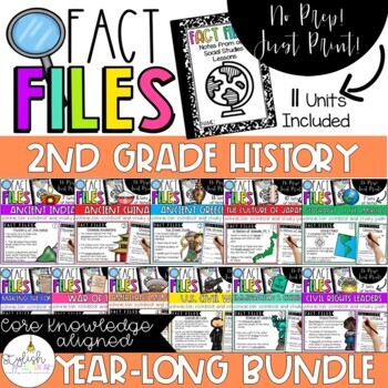
2nd Grade Core Knowledge Fact Files - Year Long History BUNDLE
**SAVE 30% with this Fact File BUNDLE!!These Fact Files are the perfect accompaniment to the 2nd Grade Core Knowledge Sequence and CKLA (Core Knowledge Language Arts), but will also work for any elementary class that studies the history units outlined below. They are a wonderful way to introduce elementary-aged students to note taking from which they may study for their upcoming unit tests. Each note page includes approx. 3 important facts from the corresponding lesson on a slide to project f
Subjects:
Grades:
2nd - 4th
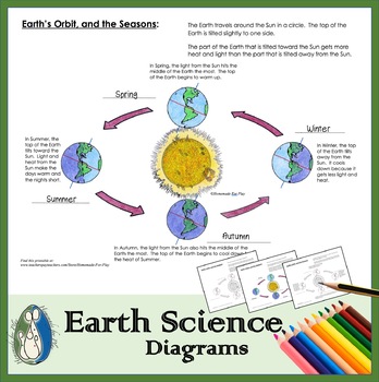
Earth's Orbit and the Seasons Diagram for Coloring and Labeling
A great visual for children to color and label, following your seasons lesson. This diagram shows and describes how the tilt of the Earth's poles contribute to warm and cold seasons in the Northern hemisphere. Children fill in blanks to label the Earth's season during each part of its orbit - Spring, Summer, Autumn, and Winter, and colour the pictures of Earth, to show where the Sun's light hits the Earth the most. Dotted lines on the Earth pictures help show where the light boundary is. We'
Subjects:
Grades:
K - 3rd
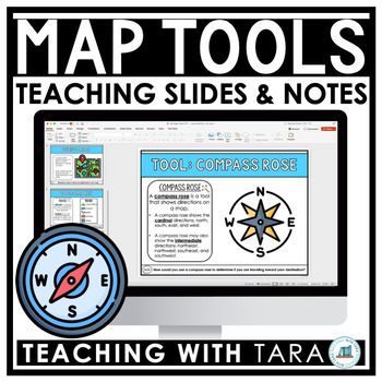
Map Tools | Map Key, Compass Rose, Map Scale | Geography | Slides and Notes
These interactive slides and differentiated student notes are the perfect way to introduce your students to the common map tools including the map key, compass rose, and map scale.Learning Objectives:★ Understand how to use a map key to find places on a map.★ Understand how to determine direction on a map using a compass rose. ★ Understand how to find distances on a map using a map scale. Vocabulary:map, map key, symbol, compass rose, direction, cardinal directions, intermediate directions, map
Subjects:
Grades:
3rd - 4th
Nigeria Country Study PowerPoint and Guided Notes
This is an introduction to the African country of Nigeria, and is perfect for an upper elementary social studies unit in 3rd grade, 4th grade or 5th grade! Guided notes formatted to fit in a social studies notebook are included. Perfect for practicing those note-taking skills! To ensure proper formatting, this file includes the same presentation formatted as a PowerPoint, Keynote, and PDF.The presentation includes a brief overview of the following:Map/CapitalFlagGovernmentCurrencyAnimalsPlaces t
Grades:
3rd - 5th
Map & Globe Skills Lap Book
*Updated to include the Southern Ocean!*
Teach your students about map skills using this interactive foldable lap book! Give your students everything they need in one place! Includes everything you need to teach about:
Continents & Oceans
Hemispheres
Latitude & Longitude
Parts of a Map
Includes accurate, up to date maps and 9 flaps to add all of the notes you need to teach this unit.
Subjects:
Grades:
3rd - 8th
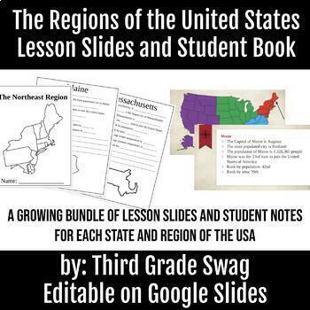
The Regions of the United States | Editable Teacher Slides and Student Notes
A growing bundle! This product is meant to teach your students about each region of the United States, and the states included in that region. Each region will have 4-5 slides for each state that students will take notes on. The notes are fill in the blank style.This product is editable. You can add, change, or delete information to meet your needs. All five regions are finished with teacher slides and student note pages.
Subjects:
Grades:
3rd - 6th
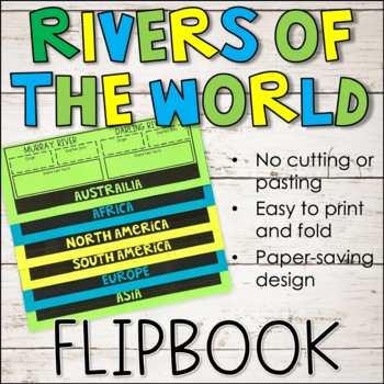
Major Rivers of the World - World Geography Flipbook
If you are teaching the major rivers of the world in your world geography unit, try incorporating a flipbook foldable for your students to use while recording essential information throughout the unit, such as where each river originates, empties, and other important facts!Check out the PREVIEW to see all the rivers included!Major rivers from six continents are covered, including but not limited to:North America: Mississippi, YukonSouth America: AmazonAfrica: Nile, NigerEurope: DanubeAsia: Gange
Subjects:
Grades:
3rd - 5th
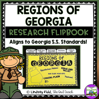
Regions of Georgia
This Regions of Georgia Research Flipbook includes everything you need to help your students create a "tab style" flip book of the Geographic Regions of Georgia. This packet includes teacher directions, a regions flip book cover, individual tab style pages for: the Appalachian Plateau, Ridge and Valley, Blue Ridge Mountains, Piedmont, and Coastal Plains. This set also includes a summarizing 3-2-1 activity for the back cover and full teacher resources/answer key! This is easy to print, cut, an
Grades:
2nd - 3rd
Also included in: Georgia Social Studies BUNDLE
Geographic Terms Interactive Notebook Pages
These interactive notebook pages designed to review key geographic terms and vocabulary. These notes can be used with any social studies textbook or resource. Notes are flipbooks and flapbooks that allow for interactive studying and review. Keys are provided when needed.
Interactive Notes Included:
- Continents and Oceans Map (2 versions + key)
- Latitude Stacking Booklet (+key)
- Longitude Stacking Booklet (+key)
- Vocabulary Mini-Flipbook Notes (No key)
- Absolute Location Flip Notes
- Relat
Subjects:
Grades:
3rd - 6th
Also included in: North America Lapbook Bundle
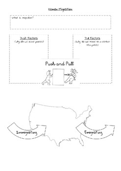
Human Migration and Push and Pull Factors
Introduce human migration, push and pull factors, and emigration vs immigration to your students with this quick guided notes sheet! Teacher notes are not included but the note sheet is self explanatory! Define migration, give examples of push and pull factors, and a map to show the difference between emigration and immigration.Also included is a worksheet with 9 different scenarios for students to practice identifying push and pull factors. Students will also write their own push or pull factor
Grades:
3rd - 10th
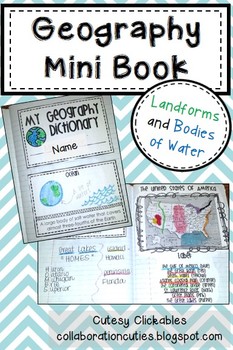
Geography Mini Book
This Geography Mini Book is perfect for teaching students about important land forms and bodies of water! Each vocabulary term has its own page with definitions. Students draw or paste in an illustration. Blank pages are also included so that you can add your own words.
These printables can be stapled together to create a mini book or pasted in to an interactive notebook!
Vocabulary terms included:
river
strait
lake
bay
tributary
Great Lakes
continent
peninsula
plain
plateau
island
coast
Deat
Subjects:
Grades:
1st - 5th
Continents Jigsaw Activity
Continents Jigsaw ActivityThis jigsaw activity is a great way to make learning about the seven continents really stick! The jigsaw method of teaching allows students to be the experts and teach one another the content that they need to know by breaking the information down into chunks. Included in this resource:-Directions for the jigsaw method-Research based rationale for the jigsaw method-A set of research passages broken down into jigsaw chunks-A list of ideas for how students can share their
Subjects:
Grades:
3rd - 6th
Types:
BrainPop: Map Skills Doodle Notes
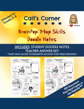
Make note taking and learning geography fun! Use these doodle / sketch notes to engage students while watching BrainPop's video* on Map Skills.Students will take notes (written or drawn) on the maps skills such as different types of maps, and how to read a map's symbols, legends, labels, scale, compass rose, and latitude and longitude lines. *You must have your own BrainPop account to access the video.Includes both the student doodle notes and teacher answer key.**For students to take doodle no
Subjects:
Grades:
3rd - 8th
5 Regions of the United States | Geography Lesson | PowerPoint and Notes
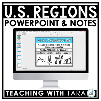
This 5 Regions of the United States lesson contains an editable PowerPoint presentation and guided student notes to help you teach your students about the regions of the US.PLEASE CLICK ON THE PREVIEW TO SEE WHAT IS INCLUDED!This resource is great for a teacher-led lesson about the regions in geography. As you teach, your students will record key words and drawings on their guided notes sheet to improve understanding and keep them engaged throughout the lesson.This resource includes:PowerPointSt
Subjects:
Grades:
3rd - 4th
Maps and Globes | Geography Lessons | Editable PowerPoint Slides and Notes
This Geography PowerPoint and Scaffolded Notes Bundle contains 8 editable PowerPoint presentations and guided student notes to help you teach your students about maps and globes, reading a map/ parts of a map, types of maps, the 7 continents, the 5 oceans, the 5 regions of the United States, landforms, and types of communities! PLEASE CLICK ON THE PREVIEW TO SEE WHAT IS INCLUDED!This resource is great for teacher-led geography social studies lessons. As you teach, your students will record key w
Grades:
3rd - 4th
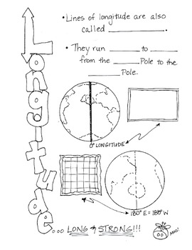
Cartoon Notes for Map Skills-Longitude
Visual notes for learning map skills...I call them 'Cartoon Notes!' These notes are a hit in my classroom, as they tie in visual learning with note-taking. I use these in my classroom to introduce, reinforce, and review with my students. Enjoy!
This is the page for teaching 'Longitude." Make sure you search for the page on 'Latitude' as well!
Subjects:
Grades:
3rd - 9th
Showing 1-24 of 182 results


