1,889 results
3rd grade geography graphic organizers
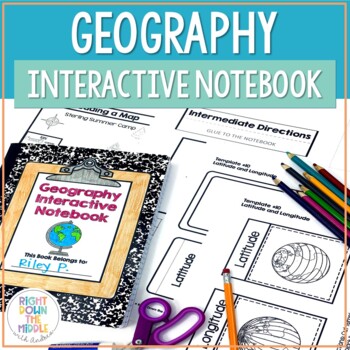
Geography and Map Skills Interactive Notebook | Print and Digital
Teaching geography and map skills doesn't have to be boring! This is a great way to teach geography and map skills. Students remain engaged through the hands-on portion of the interactive notebook. In addition to the hands-on activities, students produce a product that is useful to develop good study habits. This resource includes both the print and digital ready versions all in one. You have access to both in case you find yourself in need of one or the other throughout the school year. Templat
Grades:
3rd - 6th
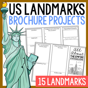
USA LANDMARKS Research Projects | United States Geography Report Activity
This bundle of (15) two-sided tri-fold research brochure templates allows students to dig deeper into facts about famous landmarks in the United States. You'll also find a BLANK template to use with ANY landmark that is not included with this resource. Makes a great addition to your American history and geography unit studies throughout the year. Keep these in your early finisher folder or your sub-folder for no-prep fun.CLICK HERE to save 30% on this resource in the American Landmarks activity
Subjects:
Grades:
3rd - 7th
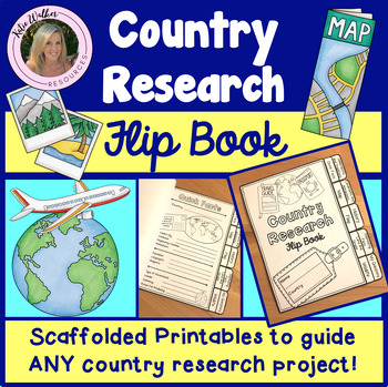
Country Research Project
Scaffolded printable flip book that can be used for ANY country research project!This resource is now available as a bundle with the matching Google Slides version! Click here to view and save $$$. Perfect for distance learning and hybrid teaching. This resource is also available in a bundle that includes 5 of my best-selling flip book resources! Click here to view and save $$$!Click here to view the digital Google Slides version. This ready-to-print flip book template can be used to scaffol
Grades:
3rd - 6th
Also included in: Country Research Project Bundle
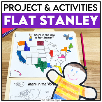
Flat Stanley Project
This Flat Stanley project is an engaging integrated unit for your students! This unit has everything you need to mail your own Flat Stanley projects around the world. Your students will love getting mail (and won't even know they are learning)!This Common Core aligned resource also includes Flat Stanley comprehension questions, vocabulary words and graphic organizers to help students understand the novel.This makes for a great activity for students! Students will create their own Flat Stanley p
Subjects:
Grades:
2nd - 4th
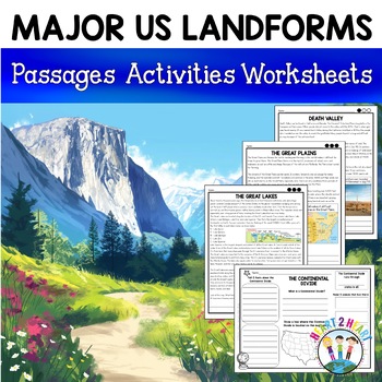
Major US Landforms Yellowstone National Park Yosemite National Park Grand Canyon
Our Major US Landforms unit includes reading passages and activities about the Great Lakes, Yellowstone, Grand Canyon, Arches National Park, Yosemite, Great Plains, Death Valley & more! Reading passages come in 3 levels of difficulty.These geographical features are included:The Great BasinThe Gulf of MexicoThe Great LakesDeath ValleyThe Atlantic Coastal PlainThe Continental DivideThe Great PlainsArches National ParkGrand CanyonYellowstone National ParkYosemite National ParkA Digital Version
Grades:
3rd - 5th
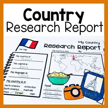
Country Research Report Worksheets and Graphic Organizers Google Slides
Are you looking for engaging activities for writing a country research project? These country research graphic organizer worksheets are perfect for your literacy and social studies lessons about countries. They are ideal for research projects and report writing. They are also great for reading lessons with informational texts.These informational essay graphic organizers are offered as no prep printables, as well as in digital formats (TPT Easel and Google Slides). Here's the thing. You want your
Subjects:
Grades:
1st - 3rd
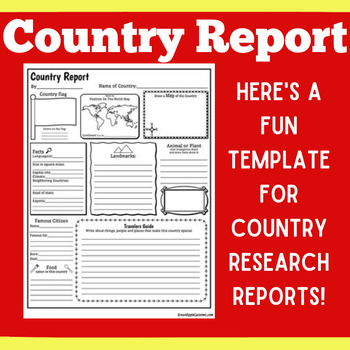
COUNTRY RESEARCH REPORT Template Project Projects | 1st 2nd 3rd 4th 5th Grade
COUNTRY RESEARCH REPORT Template Project Projects | 1st 2nd 3rd 4th 5th GradeYour students will love this country research report template! Perfect for your students to use as they research and write about a different country. This country research graphic organizer template helps them to organize their facts and information in a clear and concise way!❤ CLICK HERE TO FOLLOW GREEN APPLE LESSONS!
Subjects:
Grades:
1st - 5th
Also included in: GRAPHIC ORGANIZER ORGANIZERS Report Project Template BUNDLE
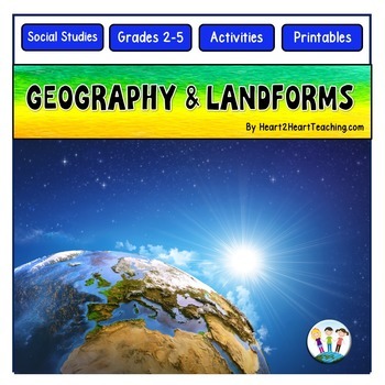
Geography Activities Major Landforms and Bodies of Water Reading Passages Unit
This fun unit is perfect for the back to school season to introduce 12 major landforms and reinforce geography skills! It includes 12 major landforms with reading passages, organizers, vocabulary posters, flip book, and a unit test.This activity pack is perfect for introducing and reviewing geography skills through creative hands-on activities. Students will love creating this geography flip book in centers or social studies stations. All the activities in this pack will reinforce and expand the
Grades:
2nd - 5th
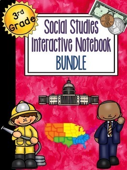
3rd Grade Social Studies Interactive Notebook BUNDLE
This is the bundled version of my Social Studies Interactive Notebooks. The bundled version comes at a discounted price.
The sets included in this bundle are:
Geography & Regions Interactive NotebookCulture & Human Systems Interactive NotebookEconomics Interactive NotebookGovernment & Civics Interactive Notebook
If you have purchased all of the sets individually, please do not purchase again.
These sets are aligned to Florida's social studies standards. They would also be appr
Subjects:
Grades:
2nd - 4th
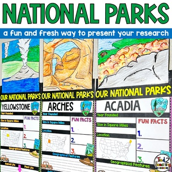
National Parks Research Report Project Informational Report Writing Reports
These National Parks Informational Writing Research Report Template Pennant Banners come with over 60 amazing pennants for displaying your National Park research project on any America's Beautiful National Parks. Perfect for any time of the year, these pennants are a great way to supplement your instruction as well as help your students organize their research!In addition to being excellent informational organizers for your students, these National Park pennant banners are great to use for bull
Subjects:
Grades:
3rd - 6th
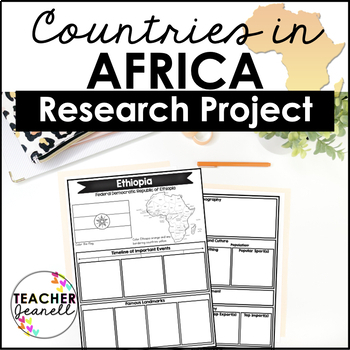
Country Research Project Posters - Africa
The Africa Research Project is the perfect tool for teachers looking for an engaging way to help their students learn about African countries. With this unique project, teachers can allow students to explore an African country of their choice in-depth, gaining a greater understanding and appreciation of its geography, population, government type, current leaders, currency, and much more.The research process has been simplified with comprehensive graphic organizers that provide structure for each
Grades:
3rd - 8th
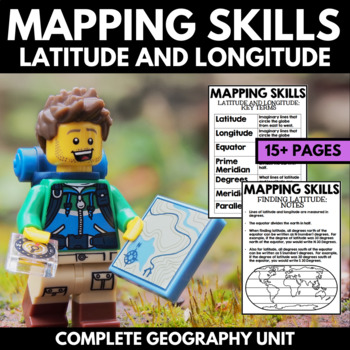
Mapping Skills And Activities - Latitude Longitude Maps and Globes - Geography
Mapping Skills and Activities for Geography featuring Latitude and Longitude! For these geography activities, students practice mapping skills while learning about latitude and longitude in a fun and engaging way. A variety of fun mapping activities are included - use these latitude and longitude activities for your upcoming geography unit or mapping unit! The included activities would make a great addition to a geography interactive notebook!This activity includes the following latitude and lon
Grades:
1st - 4th
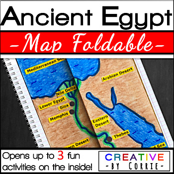
Ancient Egypt Map Foldable for Interactive Notebooks
Spice up your Ancient Egypt geography lesson with this fun map foldable activity! This foldable folds on two lines so that the sides meet in the middle to form a map of Ancient Egypt. The foldable then opens up to 3 activities which will sharpen your students’ knowledge about the geography of Ancient Egypt. The activities on the inside are focused on three topics:Natural barriers that protected Ancient EgyptWays the people of Ancient Egypt used the Nile RiverFacts about the Nile River What’s i
Subjects:
Grades:
3rd - 9th
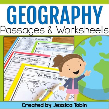
Geography Unit, US & World Geography Worksheets and Passages, Social Studies
This no-prep world geography social studies resource is a perfect supplement to use for your lessons. It offers an introduction to geography and large geographical designations and then focuses on each of the seven continents. There are reading comprehension passages, graphic organizers, cut and glue activities, and answer keys. There is also a digital conversion of this resource available in Google Slides. They have been digitally converted so that you can use the paper version or digital conve
Subjects:
Grades:
2nd - 3rd
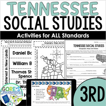
Tennessee Social Studies 3rd Grade PowerPoint,Guided Notes,Interactive Notebook
This resource includes time-saving activities aligned to all of the Tennessee 3rd Grade Social Studies Standards.New to 3rd grade?New to Tennessee?New to teaching Social Studies?Does your school have outdated textbooks or a curriculum that is difficult to use?Do you have a bunch of random activities that aren't exactly aligned to the standards?The last thing you have time to do is spend hours each week creating resources from scratch. Whether you don't have any resources and need help getting st
Grades:
3rd
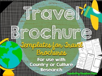
Travel Brochure
Students will love creating their own travel brochure! Students can research, create, and present information about any country! Great for culture studies and country presentations. This format can also be made into a travel style pamphlet/booklet with multiple pages. Choose from 8 different cover layouts and 6 different inside layouts. Includes sections for:*pictures*map*Interesting Facts*Bubble Map for vocabulary words*blank picture/writing lines for any additional information *culture*econom
Grades:
1st - 5th
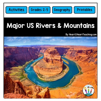
U.S. Major Rivers & Mountains - Major Rivers of the United States Activity Pack
In this comprehensive unit, students will learn about 7 major rivers and 3 major mountain chains that played an incredibly important role in the history of the United States. Students will love the reading passages and activities about these major rivers and mountain chains. What's Inside:Landforms: Rivers and MountainsMississippi RiverMissouri RiverColorado RiverOhio RiverHudson RiverSt. Lawrence RiverRio Grande RiverThe Rocky MountainsThe Appalachian MountainsThe Sierra Nevada MountainsTeacher
Subjects:
Grades:
2nd - 4th
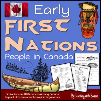
First Nations People in Early Canada, Six People Groups: Gr. 3 NEW BC Curriculum
Learn about the 6 different groups of early First Nations People in Canada according to their geographic location. Learn how the environment influenced food, home, community, travel, trade, government, traditions and celebrations. Graphic organizers help students to sort information visually and compare similarities and differences. A wide range of thinking activities are include throughout.Created for Grade 3 BC's NEW Curriculum.Contents Curricular and Content Competencies AddressedIntroduction
Grades:
2nd - 4th
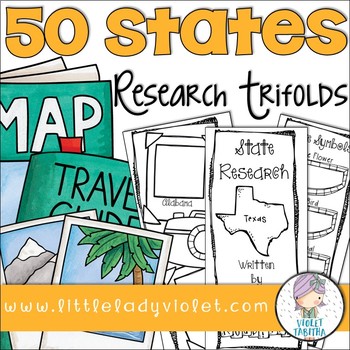
50 States Research Project Report Trifold Brochures
Looking for a fun way to research the Fifty States? This packet includes double sided brochures for each of the United States! Students will use these templates to record their research project. Also included is an early finisher map. Students can either use it to label or color the states.
The brochures include:
State Symbols (state bird, state flower, state animal, state flag)
Map Outline
Businesses and Natural Resources
Interesting Facts
Where on the Map
Population
Capital
Current Govern
Subjects:
Grades:
3rd - 5th
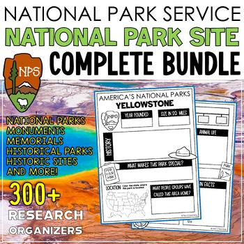
National Parks Research Graphic Organizers Monuments Memorials Historic Sites
These National Park Site research organizers are the perfect tool to help your students organize their research for our AMAZING National Parks, Monuments, Memorials, Historic Sites, or National Historical Park project or report. Research organizers on MORE THAN 300 WONDROUS SITES THAT ARE SERVICED BY OUR NATIONAL PARK SYSTEM will help students organize a variety of information about their park/monument/memorial/historic place including history, plants, animals found in the area, geographical f
Subjects:
Grades:
3rd - 6th
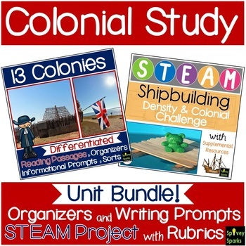
13 Colonies Unit Bundle
Studying Colonial America is made easier with this BUNDLE! Students will use graphic organizers (New England, Middle, and Southern Colonies), while learning about Colonial life. Includes 13 colonies map, informational leveled passages with questions, sorts and informational writing prompts. These can be an assessment or skills practice. As apprentice shipbuilders, a STEAM and STEM challenges them to create a boat that floats. ⭐ This BUNDLE is priced 15% less than if resources were purchased sep
Subjects:
Grades:
3rd - 5th
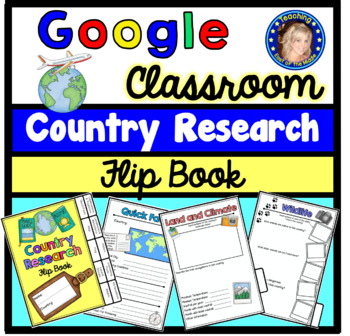
Country Research Project - Google Slides - Distance Learning
Best selling resource now available for Distance Learning! Google Slides scaffolded printable flip book that can be used for ANY country research project! This resource is now available as a bundle with the matching printable version! Click here to view and save $$$. Perfect for hybrid teaching.This digital flip book template can be used to scaffold the research process for any country research project! This comprehensive flip book is divided into sections to support your students as they cond
Grades:
3rd - 6th
Types:
Also included in: Country Research Project Bundle
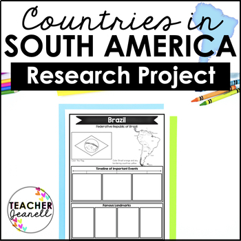
Country Research Project Posters - South America
The South America Research Project is the perfect tool for teachers looking for an engaging way to help their students learn about countries and territories in South America. With this unique project, teachers can allow students to explore a South American country or territory of their choice in-depth, gaining a greater understanding and appreciation of its geography, population, government type, current leaders, currency, and much more.The research process has been simplified with comprehensive
Grades:
3rd - 8th
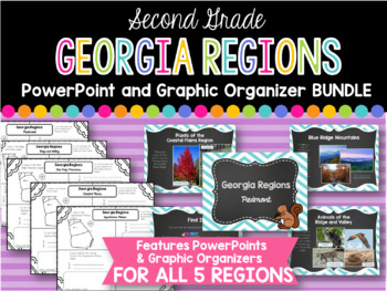
2nd Grade Georgia Regions BUNDLE
This is a bundle of all five of my Georgia Regions PowerPoints and Graphic Organizers.
The set is perfect for teaching all five of the Georgia regions covered in second grade! Students will locate each region on a map, list plants and animals found in the region, and two interesting facts. Each of these categories are covered in the corresponding PowerPoints.
Regions covered:
Appalachian Plateau
Ridge and Valley
Blue Ridge Mountains
Piedmont
Coastal Plains
*I always greatly appreciate your
Subjects:
Grades:
1st - 3rd
Showing 1-24 of 1,889 results


