1,183 results
2nd grade geography graphic organizers
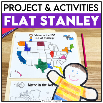
Flat Stanley Project
This Flat Stanley project is an engaging integrated unit for your students! This unit has everything you need to mail your own Flat Stanley projects around the world. Your students will love getting mail (and won't even know they are learning)!This Common Core aligned resource also includes Flat Stanley comprehension questions, vocabulary words and graphic organizers to help students understand the novel.This makes for a great activity for students! Students will create their own Flat Stanley p
Subjects:
Grades:
2nd - 4th
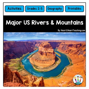
U.S. Major Rivers & Mountains - Major Rivers of the United States Activity Pack
In this comprehensive unit, students will learn about 7 major rivers and 3 major mountain chains that played an incredibly important role in the history of the United States. Students will love the reading passages and activities about these major rivers and mountain chains. What's Inside:Landforms: Rivers and MountainsMississippi RiverMissouri RiverColorado RiverOhio RiverHudson RiverSt. Lawrence RiverRio Grande RiverThe Rocky MountainsThe Appalachian MountainsThe Sierra Nevada MountainsTeacher
Subjects:
Grades:
2nd - 4th
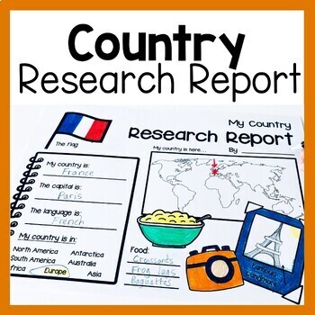
Country Research Report Worksheets and Graphic Organizers Google Slides
Are you looking for engaging activities for writing a country research project? These country research graphic organizer worksheets are perfect for your literacy and social studies lessons about countries. They are ideal for research projects and report writing. They are also great for reading lessons with informational texts.These informational essay graphic organizers are offered as no prep printables, as well as in digital formats (TPT Easel and Google Slides). Here's the thing. You want your
Subjects:
Grades:
1st - 3rd
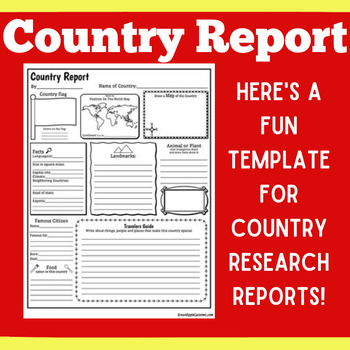
COUNTRY RESEARCH REPORT Template Project Projects | 1st 2nd 3rd 4th 5th Grade
COUNTRY RESEARCH REPORT Template Project Projects | 1st 2nd 3rd 4th 5th GradeYour students will love this country research report template! Perfect for your students to use as they research and write about a different country. This country research graphic organizer template helps them to organize their facts and information in a clear and concise way!❤ CLICK HERE TO FOLLOW GREEN APPLE LESSONS!
Subjects:
Grades:
1st - 5th
Also included in: GRAPHIC ORGANIZER ORGANIZERS Report Project Template BUNDLE
Geography Activities Major Landforms and Bodies of Water Reading Passages Unit
This fun unit is perfect for the back to school season to introduce 12 major landforms and reinforce geography skills! It includes 12 major landforms with reading passages, organizers, vocabulary posters, flip book, and a unit test.This activity pack is perfect for introducing and reviewing geography skills through creative hands-on activities. Students will love creating this geography flip book in centers or social studies stations. All the activities in this pack will reinforce and expand the
Grades:
2nd - 5th
3rd Grade Social Studies Interactive Notebook BUNDLE
This is the bundled version of my Social Studies Interactive Notebooks. The bundled version comes at a discounted price.
The sets included in this bundle are:
Geography & Regions Interactive NotebookCulture & Human Systems Interactive NotebookEconomics Interactive NotebookGovernment & Civics Interactive Notebook
If you have purchased all of the sets individually, please do not purchase again.
These sets are aligned to Florida's social studies standards. They would also be appr
Subjects:
Grades:
2nd - 4th
Travel Brochure
Students will love creating their own travel brochure! Students can research, create, and present information about any country! Great for culture studies and country presentations. This format can also be made into a travel style pamphlet/booklet with multiple pages. Choose from 8 different cover layouts and 6 different inside layouts. Includes sections for:*pictures*map*Interesting Facts*Bubble Map for vocabulary words*blank picture/writing lines for any additional information *culture*econom
Grades:
1st - 5th
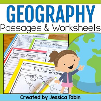
Geography Unit, US & World Geography Worksheets and Passages, Social Studies
This no-prep world geography social studies resource is a perfect supplement to use for your lessons. It offers an introduction to geography and large geographical designations and then focuses on each of the seven continents. There are reading comprehension passages, graphic organizers, cut and glue activities, and answer keys. There is also a digital conversion of this resource available in Google Slides. They have been digitally converted so that you can use the paper version or digital conve
Subjects:
Grades:
2nd - 3rd
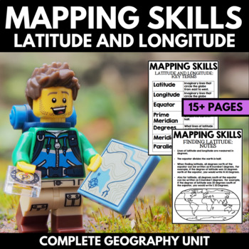
Mapping Skills And Activities - Latitude Longitude Maps and Globes - Geography
Mapping Skills and Activities for Geography featuring Latitude and Longitude! For these geography activities, students practice mapping skills while learning about latitude and longitude in a fun and engaging way. A variety of fun mapping activities are included - use these latitude and longitude activities for your upcoming geography unit or mapping unit! The included activities would make a great addition to a geography interactive notebook!This activity includes the following latitude and lon
Grades:
1st - 4th
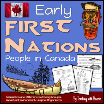
First Nations People in Early Canada, Six People Groups: Gr. 3 NEW BC Curriculum
Learn about the 6 different groups of early First Nations People in Canada according to their geographic location. Learn how the environment influenced food, home, community, travel, trade, government, traditions and celebrations. Graphic organizers help students to sort information visually and compare similarities and differences. A wide range of thinking activities are include throughout.Created for Grade 3 BC's NEW Curriculum.Contents Curricular and Content Competencies AddressedIntroduction
Grades:
2nd - 4th
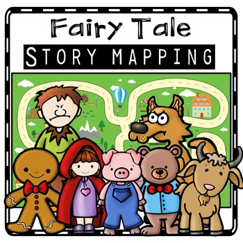
Fairy Tale Story Maps, Retelling Activities, Fairy Tale Sequencing, Map Skills
Kids will love using these fairy tale story map retell printables to create story maps to practice retelling stories, sequencing, and map skills to build oral language, vocabulary, and comprehension skills. This resource was also designed to help you integrate social studies and teaches kindergarten and first grade children about map skills such as using a compass rose and following cardinal directions.Story Retell Maps Include: Story Mapping with Little Red Riding HoodStory Mapping with The Gi
Subjects:
Grades:
PreK - 2nd
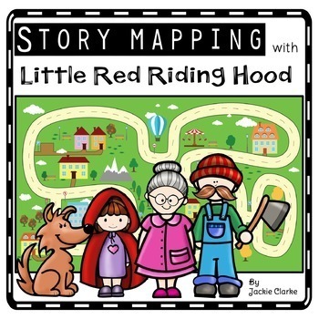
Little Red Riding Hood Retelling Activities, Story Maps, Fairy Tale Sequencing
Kids will love using the Little Red Riding Hood retell printables to create story maps to practice retelling stories, fairy tale sequencing, and map skills that build oral language, vocabulary, and language comprehension skills. This resource was also designed to help you integrate social studies and teaches kindergarten and first grade children about map skills such as using a compass rose and following cardinal directions.✅How Can I Use This Little Red Riding Hood Story Map?As a retelling and
Subjects:
Grades:
PreK - 2nd
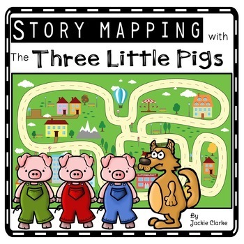
Three Little Pigs Retelling Activities, Story Retell Maps, Fairy Tale Sequencing
Kids will love using The Three Little Pigs retell printables to create story maps to practice retelling stories, fairy tale sequencing, and map skills that build oral language, vocabulary, and language comprehension skills. This resource was also designed to help you integrate social studies and teaches kindergarten and first grade children about map skills such as using a compass rose and following cardinal directions.✅How Can I Use This Three Little Pigs Story Map?As a retelling and sequencin
Subjects:
Grades:
PreK - 2nd
Los Mapas "Yo en el Mapa " Habilidades usando mapas Where We Life
Los Mapas " Yo en el Mapa " Habilidades usando mapas
(Map Skills - Me on the Map / Where We Life - Donde vivimos)
Mini Unit
Por favor asegurece de leer la descripcion y ver el documento previo para asegurar que este producto cubre sus necesidades.
Con este producto los estudiantes aprendedran sobre la historia de los, los elementos basicos y podran hacer mapas.
Contenido de este documento:
Lecturita de la historia de los mapas.
Librito sobre los mapas.
KWL
9 Gráficos de datos
Cuestionario
Subjects:
Grades:
PreK - 2nd
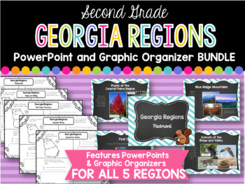
2nd Grade Georgia Regions BUNDLE
This is a bundle of all five of my Georgia Regions PowerPoints and Graphic Organizers.
The set is perfect for teaching all five of the Georgia regions covered in second grade! Students will locate each region on a map, list plants and animals found in the region, and two interesting facts. Each of these categories are covered in the corresponding PowerPoints.
Regions covered:
Appalachian Plateau
Ridge and Valley
Blue Ridge Mountains
Piedmont
Coastal Plains
*I always greatly appreciate your
Subjects:
Grades:
1st - 3rd
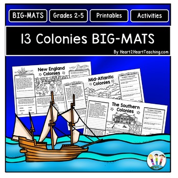
13 Colonies Fun Activities: BIG-MATS are FUN in a BIG Way! {Placemat 11x17}
13 Colonies BIG-MATS Activities are perfect to reinforce learning in a unique way. They are an excellent activity to use at the end of the lesson, as a culminating group activity, or to review for an upcoming test. BIG-MATS are FUN in a BIG way! Answers keys are included. This resource includes SIX---11 x 17 BIG-MATS---with TWO for each region--New England, Mid-Atlantic, and the Southern Colonies in a PDF. Answer keys are included in this pack. Simply print and copy these back-to-back in black a
Grades:
2nd - 5th
![Preview of Discovering the 7 Continents [MEGA] Bundle Unit!](https://ecdn.teacherspayteachers.com/thumbitem/7-Continents-MEGA-Unit--2366611-1635084318/original-2366611-1.jpg)
Discovering the 7 Continents [MEGA] Bundle Unit!
*Discovering the 7 Continents* {North America, South America, Europe, Asia, Africa, Australia and Antarctica!}***SAVE OVER 20% OFF BY PURCHASING THE BUNDLE***This comprehensive continents mega unit on the 7 continents provides students with multiple opportunities to demonstrate their knowledge of each of the continents. It provides all the materials students will need for a systematic, organized method to produce an interactive pocket book on the continents. Students will thrive on the predicta
Subjects:
Grades:
1st - 2nd
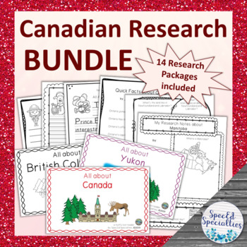
Canadian Provinces & Territories Research Packages BUNDLE
This is a series of 14 differentiated research package containing all of the materials needed to complete research projects on each province & territory of Canada, as well as the the country of Canada. Each research package includes emergent readers, graphic organizers, and writing paper. With simple and accessible materials, these projects are perfect for the special education and regular classroom, early learners, and more!This bundle includes one research package for each province and t
Subjects:
Grades:
2nd - 4th
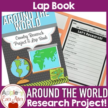
Countries Around the World Research Lapbook Project
This Countries of the World Research Project has many topics for your students to discover about the world around us! This research project is one of my favorite ways to encourage students to use and grow their researching skills and demonstrate their understanding through a fun and creative project that includes researching, drawing and coloring. Product updated January 2022Materials needed:- The Included printed pages- Books or Research Technology (Chrome Book, Tablet, Computer, etc.)- Large p
Grades:
2nd - 6th
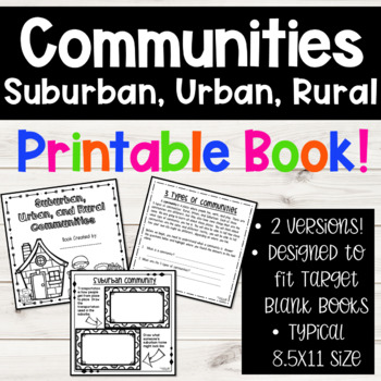
Suburban, Urban, Rural Communities Social Studies 2nd Grade Book
Stop hunting for social studies community materials, and take a look at this resource! I have been teaching the types of communities for several years, and spent TONS of time researching and creating different materials. I want to save your valuable teaching time, and provide you with this fun set of materials!!**THESE PAGES ARE MADE TO FIT THE BLANK BOOKS FROM THE TARGET DOLLAR SPOT!** Why? Because my students just love to create their own books of learning. By adding these pages to the blank b
Subjects:
Grades:
1st - 3rd
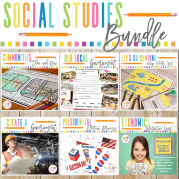
3rd Grade Social Studies Bundle | Government | Map Skills | Communities Change
This year long 3rd grade Social Studies bundle includes everything you need to teach Local Government, Communities Change Over Time, Geography Map Skills, and more! The activities in each unit are designed to be interactive and engaging for students. See the descriptions of each of the units below:Local Government Flip Flap Book, Interactive Notes, and Game Looking for a way to make learning about your local government interactive and fun? This resource has everything your students need to make
Subjects:
Grades:
2nd - 3rd
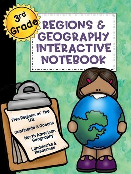
3rd Grade Social Studies Notebook: Geography and Regions
These interactive notebook pages are aligned to the following Florida 3rd Grade standards: SS.3.G.1.3 Label the continents and oceans on a world map. SS.3.G.1.4 Name and identify the purpose of maps (physical, political, elevation, population). SS.3.G.2.2 Identify the five regions of the United States. SS.3.G.2.3 Label the states in each of the five regions of the United States. SS.3.G.2.4 Describe the physical features of the United States, Canada, Mexico, and the Caribbean.SS.3.G.2.5 Identify
Subjects:
Grades:
2nd - 4th
Also included in: 3rd Grade Social Studies Interactive Notebook BUNDLE
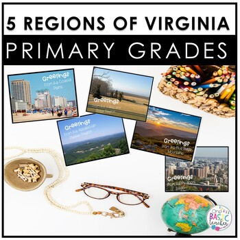
5 Regions of Virginia for Primary Grades
Make teaching 5 Regions of Virginia easy with these quick activities! This set includes a book for each region, with real pictures great for non-fiction lessons! These are quick and easy to use making them perfect for a center or a substitute day too!Students can easily use this in the classroom or take them home to do with their families. These are appropriate for younger grades 1 to 2.Here's what you'll get:•2 versions of the Virginia map•2 cardinal sizes•Where has our cardinal been worksheet•
Grades:
1st - 2nd
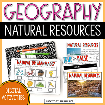
Natural Resources Digital Activities - 2nd Grade Geography Lessons
Teach your 2nd grade students all about Natural Resources with these fun and engaging digital activities! This 2nd grade Geography unit is the perfect addition to your social studies lessons. These Google Slides make a perfect addition to a distance learning situation, independent student classroom activities, or for any classroom looking to add technology to their curriculum This Geography unit will help you teach your students about Earth's different natural resources and the difference betwee
Grades:
2nd - 3rd
Showing 1-24 of 1,183 results


