980 results
11th grade geography graphic organizers
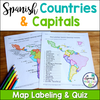
Spanish-Speaking Countries and Capitals Maps and Quiz
This is a map labeling activity and matching quiz over the 21 Spanish-speaking countries and capitals. Students will label and identify the 21 Spanish-speaking countries and capitals in Spanish. This is a great activity when reviewing Spanish-speaking countries and capitals or Spanish geography. Makes a great coloring page. Answer keys are included.
Countries included:
España, México, Costa Rica, El Salvador, Guatemala, Honduras, Nicaragua, Panamá, Cuba, La República Dominicana, Puerto Rico, Ar
Subjects:
Grades:
6th - 12th
Also included in: Spanish Countries and Capitals Geography Bundle
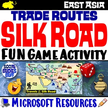
Silk Road Trade Routes FUN Game Activity | Cultural Diffusion and Geography
Play a FUN “Travels on the Silk Road” game that students LOVE! They must identify goods & ideas spread on the trade routes while competing to amass the greatest fortune along the way! Print & interactive, digital versions of the materials are included. Made for traditional in-class learning or digital 1:1 classrooms. Everything you need is included!Includes:Explain Slides: Game DirectionsFill-in Scorecard & ChartGame Task CardsGame BoardAnswer KeyTeacher Reference GuideVocabulary:Sil
Grades:
5th - 12th
CCSS:
Geography Mapping Skills BUNDLE (World Geography Bundle), Mapping Activities
This Mapping Skills BUNDLE, Google Classroom, Print & Digital Distance Learning covers important foundational mapping skills topics such as Geography Overview, Types of Maps, Map Elements, Key Places on Maps, Latitude, Longitude, Time Zones, Climate Zones, Five Themes of Geography, & Biomes. It also includes historical thinking skills topics such as primary and secondary sources, artifacts, timelines, political cartoons, debates, push/pull factors, charts & graphs, comparing, contras
Grades:
6th - 12th
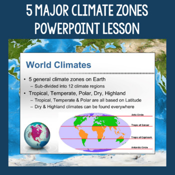
5 Major Climate Zones PowerPoint Slides | Chart and Mapping Activity
This Climate Zones Lesson and Activity includes a full PowerPoint presentation that address the characteristics, general locations, plants, animals, and specific location examples of the 5 major climate zones (polar, temperate, tropical, dry, highland). Students can fill out the included chart as you go over the presentation and a follow-up mapping activity puts their new knowledge of the climate zones to use. A filled out version of the chart, a blank version of the chart, and a blank map are a
Subjects:
Grades:
5th - 12th
Also included in: Geography Skills PowerPoint Lessons Bundle
Five Themes of Geography Activity BUNDLE (World Geography Curriculum Bundle)
Five Themes of Geography BUNDLE, Google Classroom, Print & Digital Distance Learning ALSO PART OF A WORLD GEOGRAPHY MEGA BUNDLE, covers Five Themes, Spheres, Inside the Earth, Landforms and Waterways, Earth & Sun Relationships, Weather and ClimateThis bundle includes links to engaging resource in Dropbox and Google Format as well as direct PDF downloads. Sign up for email updates and follow me on TPT for updates.INCLUDES:Five Themes Unit Lesson Plan Guide for World Geography, Back To Sc
Grades:
7th - 12th
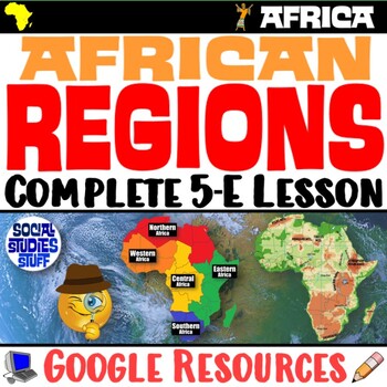
The Five Regions of Africa 5-E Lesson | African Geography and Culture | Google
This lesson examines the five regions of Africa by exploring the continent’s diverse cultures & geography. The activities are engaging for students & the guided, 5-E format is easy for you to use! Fill-in notes accompany the lesson. Begin with a fun “Rank It - Continents” warm-up. Then, a “Divide It” activity challenges your class to examine 4 thematic maps to determine how best to divide Africa into 5 regions. Next, students create labeled maps featuring the 5 regions of Africa. An “Inv
Grades:
6th - 12th
CCSS:

Mulan Movie Guide Questions with KEY
Allow your students to watch Disney's Mulan while experiencing culture and answering meaningful questions that all pertain to accurate cultural depictions. Through these questions, students are engaged in retaining factual information as well as opinion and critical thinking based questions. Students will be asked questions on topics such as: The nomadic group of conquers in the movie--the Huns (or Mongols) The Great Wall of ChinaConfucianism & filial piety (respect and honor to parents and
Subjects:
Grades:
5th - 11th
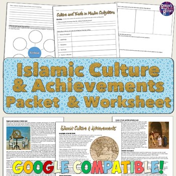
Islam Reading Packet: Achievements, Cities, and Culture
This reading packet on Islam is a thorough overview of the cultural achievements, trade routes, and cities of Islamic Civilizations!The packet includes a 5-page reading and 4-page reading guide worksheet for students to complete. All of the following topics are discussed in the reading: ⭐ Geography and the Old World⭐ The Silk Road and trade⭐ The Qur'an and 5 Pillars of Islam⭐ Achievements in astronomy, algebra, and mapping⭐ The voyages of Zheng He⭐ Baghdad, Timbuktu, and Muslim cities⭐ Caravans
Subjects:
Grades:
8th - 11th
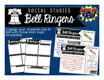
Bell Ringers for Social Studies
Engage your students bell to bell with these bell ringer templates specifically designed for your secondary social studies classroom!
Why use bell ringers?
• They provide a consistent routine as students
enter the classroom.
• They engage students in content from bell to bell.
• They allow students think time and opportunities to apply
new vocabulary and social studies skills.
• Non-Academic questions help build relationships and allow
students to share goals and their personal strengths.
• Allo
Grades:
5th - 12th
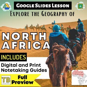
North Africa Google Slides World Geography Lesson
Updated:May 2023Google Slides33 Slides: Fully EditableNORTH Africa Geography Google Slides lesson is a great way to teach students about the physical geography, economy, culture, standard of living, and more of the following NORTH African countries: Morocco, Western Sahara, Mauritania, Algeria, Mali, Tunisia, Libya, Niger, Chad, Egypt, Sudan, South SudanNote Taking GuideThe Google Slides purchase also includes EDITABLE student note-taking guide/graphic organizers (for print and digital notetakin
Grades:
8th - 11th
Types:
Also included in: Middle East and North Africa Bundle
Before the Flood Movie Questions: Climate Change and Global Warming Documentary
Before the Flood is an important documentary on Climate Change presented by National Geographic and starring Leonardo DiCaprio. Climate Change is quickly becoming one of the most important issues of our time. It's our job as educators to make sure students are aware of the impact that climate change might have on their futures. Before the Flood is the perfect way to introduce the topic of climate change and environmentalism in your classroom!This resource contains four pages of questions about t
Subjects:
Grades:
9th - 12th
Also included in: Climate Change and Environmental Sustainability Bundle for High School
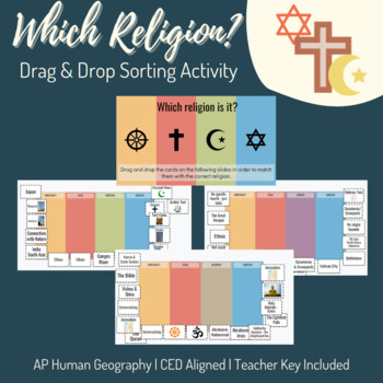
Unit 3: Religion Drag & Drop Sorting Activity - AP Human Geography
AP Human Geography Topics Covered:3.2 The Cultural Landscape3.3 Cultural Patterns 3.7 Diffusion of Religion and LanguageThis sorting activity is broken up over five slides. Each slide lists four religions and has sixteen "cards." Students sort the cards into the correct religion. I utilize this after students complete a lecture and webquest as a culminating activity and formative assessment. Teacher answer key and instructions included. Religions included: Christianity Islam Buddhism Shintoism H
Grades:
9th - 12th
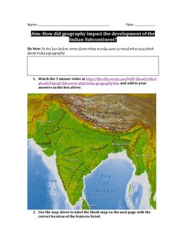
Impact of Geography on India and South Asia Worksheet
In this 5 page packet, students label a map of the Indian subcontinent, complete a guided reading with graphic organizer, watch a 3 minute Discovery video clip, analyze images, and answer analytical summative writing questions in order to determine the way geography has impacted the development of the Indian subcontinent.Students learn the locations of modern countries in the area as well as the placement and significance of physical features such as the Ganges and Indus Rivers, Himalayas and Hi
Subjects:
Grades:
7th - 12th
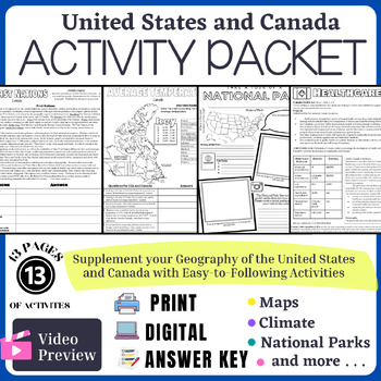
United States and Canada World Geography Activity Packet Print and Digital
The United States and Canada World Geography Packet is a bundle of activities to assess and check for understanding during the USA and Canada World Geography unit.⭐ There are 13 pages of Activities ⭐This purchase comes in 4 formats depending on your needs:Digital learningPrintEditableAnswer key The packet comes with the following DIGITAL and PRINT activities:Absolute LocationPhysical Map QuestionsPhysical Map Labeling ActivityEconomic Analysis: Charting pay gaps in the United StatesUS National P
Grades:
8th - 12th
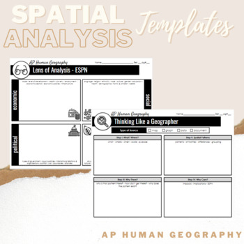
Spatial Analysis Templates - AP Human Geography - Thinking Like A Geographer
Use these spatial analysis templates when your students are analyzing case studies, maps, images or data in AP Human Geography. Template #1 - ESPN Lens of Analysis Template #2 - Thinking Like a Geographer Spatial Analysis
Subjects:
Grades:
9th - 12th
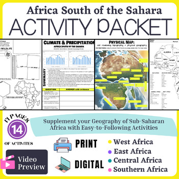
Africa South of the Sahara Activity Packet
UNIT: Sub-Saharan AfricaUPDATED: January 2024✅ East Africa: Burundi, Comoros, Djibouti, Eritrea, Ethiopia, Kenya, Madagascar, Rwanda, Seychelles, Somalia, Tanzania, Uganda✅West Africa: Benin, Burkina Faso, Cape Verde, Cote d'Ivoire, The Gambia, Ghana, Guinea, Guinea-Bissau, Liberia, Senegal, Sierra Leone, Togo✅ Central Africa: Cameroon, Central African Republic, Democratic Republic of Congo, Equatorial Guinea, Gabon, Nigeria, Republic of Congo, Sao Tome and Principe✅ Southern Africa: Angola, Bot
Grades:
7th - 11th
Also included in: Sub-Saharan Africa Unit Bundle
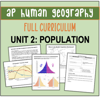
AP Human Geography Unit Plan: UNIT 2 POPULATION!
AP HUMAN GEOGRAPHY FULL CURRICULUMUnit 2 Population (Migration sold separately)This product is a complete no-prep teacher’s guide to Unit 2 Population: day-to-day activities, notes, graphic organizers, YouTube videos, vocabulary, current events, and other reading passages together with a corresponding PowerPoint. The bundle includes ALL of the following!9 FULL PERIOD Lesson Plans and suggested outline. Each lesson is its own packet (4-6 pages each) and corresponds chronologically with PowerPoint
Grades:
9th - 12th
Also included in: AP Human Geography Full Year Curriculum!
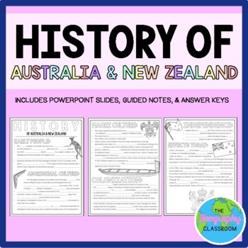
History of Australia & New Zealand Guided Notes (Aboriginal & Maori)
This set includes resources to teach about the history of Australia and New Zealand. It covers the early history of the countries, Aboriginal culture, Maori culture, British colonization, independence, and the effects that colonization has had on the native people today. This set includes:- 3 page guided notes handout- Teacher answer key- 14 page editable PowerPoint slides for teachers to use to teach the history of Australia and New Zealand to students as they fill out their guided notes.***If
Subjects:
Grades:
6th - 11th
Also included in: Australia & Oceania BUNDLE
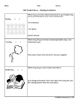
CNN Student News Worksheet - (CNN10) Weekly graphic organizer
A weekly, Monday-Friday, note catcher for CNN10 Student News. Each day, different questions prompt the students to capture information and think critically. This graphic organizer is student friendly and allows students to do their own research on current events happening around the world. There is a connection to geography as a few questions prompt for identification of locations.
Grades:
4th - 12th
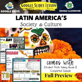
Society and Culture of Latin America Geography Google Slides & Note Taking Guide
The Latin America Society and Culture Google Slides lesson is a great way to teach students about Latin America. The Google Slides purchase also comes with a student note taking guide/graphic organizer (for print and digital learning) There is also a completed note-taking guide for teachers to use as a key, or to provide for their EL or IEP students. The following topics are covered:The IncaInca Ruin: Machu PicchuThe MayaMaya Ruin: TikalThe AztecsAztec Ruin: TeotihuacanPopulation AnalysisExam
Grades:
7th - 12th
Types:
AP Human Geography AMSCO Unit 1-7 Reading Guides
APHUG Unit 1-7 Reading Guides to go with 2nd Edition AMSCO BookAll Seven Units- Fully Editable- Student Friendly Format- Key Concept Graphic OrganizersAMSCO 1st Edition Reading GuideNeed a Single Unit?Unit 1Unit 2Unit 3Unit 4Unit 5Unit 6
Grades:
9th - 12th
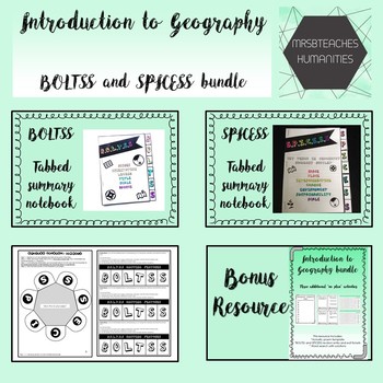
Australian Curriculum - Introduction to Geography - BOLTSS and SPICESS bundle
Included in this zip file are @MrsBTeachesHumanities BOLTSS and SPICESS tabbed booklets and interactive notebook foldables. Three bonus 'no plan' no 'computer required' resources have been included for previewing content, deepening knowledge and revision.
Australian Curriculum content descriptor:
Year 7:(ACHGS047)
Year 8:(ACHGS055)
Year 9:(ACHGS063)
Year 10:(ACHGS072)
- - - - - - - -
**Want to purchase these resources individually?**
BOLTSS mapping features tabbed booklet
BOLTSS Map f
Subjects:
Grades:
5th - 12th
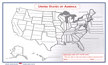
United States Map: Fill in the Blank
A map of the United States, with blanks for each of the 50 states to be filled in. Due to the size of the states and user friendly format, the print out should be on a legal sized paper (8.5 x 14)
A larger version is also available in store. (11 x 14)
Grades:
4th - 12th, Higher Education, Adult Education

Monotheistic Religions of the Middle East (Judaism, Christianity, & Islam)
This activity is designed to assist students in identifying & comparing the three major monotheistic religions which originated from the Middle East: Judaism, Christianity, & Islam.
This activity includes:
1. Graphic Organizer: This can be used for collaborative group research into different aspects of each religion, individual research, or note-taking.
2. Monotheistic Religions Map
3. Powerpoint which reviews all aspects of each religion as found in graphic organizer
**I have also in
Grades:
5th - 12th
Types:
Showing 1-24 of 980 results


