46 results
Preschool geography graphic organizers
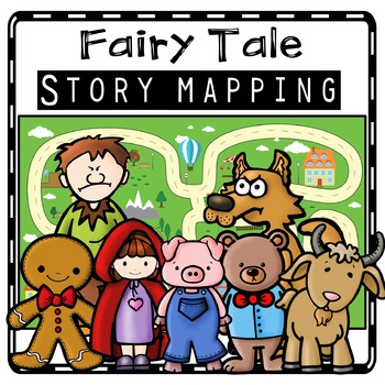
Fairy Tale Story Maps, Retelling Activities, Fairy Tale Sequencing, Map Skills
Kids will love using these fairy tale story map retell printables to create story maps to practice retelling stories, sequencing, and map skills to build oral language, vocabulary, and comprehension skills. This resource was also designed to help you integrate social studies and teaches kindergarten and first grade children about map skills such as using a compass rose and following cardinal directions.Story Retell Maps Include: Story Mapping with Little Red Riding HoodStory Mapping with The Gi
Subjects:
Grades:
PreK - 2nd
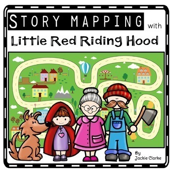
Little Red Riding Hood Retelling Activities, Story Maps, Fairy Tale Sequencing
Kids will love using the Little Red Riding Hood retell printables to create story maps to practice retelling stories, fairy tale sequencing, and map skills that build oral language, vocabulary, and language comprehension skills. This resource was also designed to help you integrate social studies and teaches kindergarten and first grade children about map skills such as using a compass rose and following cardinal directions.✅How Can I Use This Little Red Riding Hood Story Map?As a retelling and
Subjects:
Grades:
PreK - 2nd
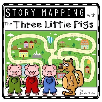
Three Little Pigs Retelling Activities, Story Retell Maps, Fairy Tale Sequencing
Kids will love using The Three Little Pigs retell printables to create story maps to practice retelling stories, fairy tale sequencing, and map skills that build oral language, vocabulary, and language comprehension skills. This resource was also designed to help you integrate social studies and teaches kindergarten and first grade children about map skills such as using a compass rose and following cardinal directions.✅How Can I Use This Three Little Pigs Story Map?As a retelling and sequencin
Subjects:
Grades:
PreK - 2nd
Los Mapas "Yo en el Mapa " Habilidades usando mapas Where We Life
Los Mapas " Yo en el Mapa " Habilidades usando mapas
(Map Skills - Me on the Map / Where We Life - Donde vivimos)
Mini Unit
Por favor asegurece de leer la descripcion y ver el documento previo para asegurar que este producto cubre sus necesidades.
Con este producto los estudiantes aprendedran sobre la historia de los, los elementos basicos y podran hacer mapas.
Contenido de este documento:
Lecturita de la historia de los mapas.
Librito sobre los mapas.
KWL
9 Gráficos de datos
Cuestionario
Subjects:
Grades:
PreK - 2nd
Jack & the Beanstalk Retelling Activity, Story Retell Map, Fairy Tale Sequencing
Kids will love using the Jack and the Beanstalk retell printables to create story maps to practice retelling stories, fairy tale sequencing, and map skills that build oral language, vocabulary, and language comprehension skills. This resource was also designed to help you integrate social studies and teaches kindergarten and first grade children about map skills such as using a compass rose and following cardinal directions.✅How Can I Use This Jack and the Beanstalk Story Map?As a retelling and
Subjects:
Grades:
PreK - 2nd
The Three Bears Retelling Activities, Story Retell Maps, Fairy Tale Sequencing
Kids will love using the Goldilocks and the Three Bears retell printables to create story maps to practice retelling stories, fairy tale sequencing, and map skills that build oral language, vocabulary, and language comprehension skills. This resource was also designed to help you integrate social studies and teaches kindergarten and first grade children about map skills such as using a compass rose and following cardinal directions.✅How Can I Use This Goldilocks and the Three Bears Story Map?As
Subjects:
Grades:
PreK - 2nd
Three Billy Goats Gruff Retell Activities, Story Maps, Fairy Tale Sequencing
Kids will love using The Three Billy Goats Gruff retell printables to create story maps to practice retelling stories, fairy tale sequencing, and map skills that build oral language, vocabulary, and language comprehension skills. This resource was also designed to help you integrate social studies and teaches kindergarten and first grade children about map skills such as using a compass rose and following cardinal directions.✅How Can I Use This Three Billy Goats Gruff Story Map?As a retelling a
Subjects:
Grades:
PreK - 2nd
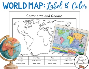
World Map: Continents and Oceans (Color and Label Blank Map)
Here is a simple blank map for students to label and color the 7 continents and 5 oceans of the world! *Idea: Have students use various shades of blues/purples for the oceans!There are 3 versions included. Please see the preview photos. Thank you!Laurin@TheRestfulHomeschool
Grades:
PreK - 6th
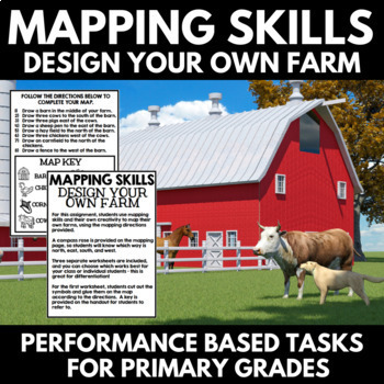
Mapping Skills and Activities - Geography - Map Design - Map Activity
Mapping Skills: Performance Based Tasks - Design Your Own Farm! For this fun geography activity, students use mapping skills and their own creativity to map their own farms, using the mapping directions provided. Perfect for your upcoming mapping unit or geography unit, these mapping activities would also make great additions to a geography interactive notebook.⭐A compass rose is provided on the mapping page, so students will know which way is north, east, south, and west.⭐Three separate workshe
Grades:
PreK - 1st
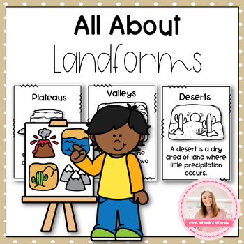
Landforms Worksheets and Activities Unit
Overview: This unit is an engaging and interactive unit designed to introduce elementary learners to various landforms found on our planet. This unit aims to develop students' geographical knowledge, observational skills, and vocabulary while fostering a sense of curiosity and wonder about the diverse landscapes that shape our world. Through hands-on activities, interactive worksheets, and students will embark on an exciting journey to identify, explore, and understand different types of landfo
Subjects:
Grades:
PreK - 3rd
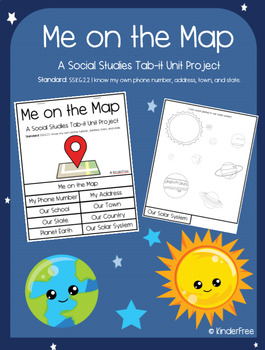
Me on the Map (Social Studies Tab-it Project) SS.K.G.2.2
This is a unit project on the standard: SS.K.G.2.2 I know my own phone number, address, town, and state.It covers knowing your phone number, address, school, town, state, country, planet, and solar system. It is a great tab-it project to slowly complete over time. Each page builds on the other until you put it all together to make a flip open tab. The titles of each page are listed and easily visible on each tab. The following pages are included in this project:The coverpage (that names the proj
Subjects:
Grades:
PreK - 5th
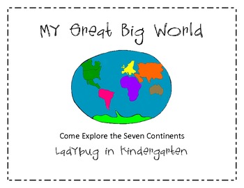
My Great Big World of Continents
Come explore the seven continents with My Great Big World packet that is aligned with Common Core Standards for Writing. Students will participate in shared research and writing projects with My Favorite Continent.
The packet contains:
Continent Picture Cards
Read and Write the Room with Continents
Animals Native to each Continent-Read Aloud
Animal Sort for each continent
Research Project Graphic Organizers (Bubble Map, Journal Pages)
Tic-Tac-Toe Board for choosing a 3 way pattern for completi
Subjects:
Grades:
PreK - 2nd
Types:
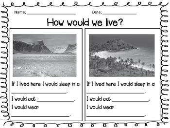
How Do We Live Unit - Compare Contrast Cultures - Social Studies
This unit is a Social Studies unit that I use with my Kindergarten class, however it can easily be used with first or second grade. Included are cross curricular activities to use with writing. Included are:
- venn diagram comparing and contrasting how we live here to other cultures
- writing prompt form for students to write about where they could live if they choose
- pictures of different parts of the world and prompts that allow students to write about how people would live there.
Subjects:
Grades:
PreK - 2nd
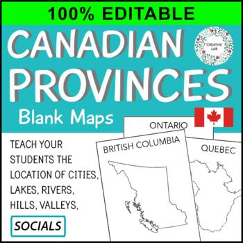
Canadian Province Maps & Canada Map - 100% Editable
This resource is 100% EDITABLE using Microsoft PowerPoint. You can add, subtract, or modify any of the content to suit the needs of your students. Great for differentiation!Make mapping engaging and memorable with these Canadian Provincial Maps.Provincial and Country maps can help students visualize the location of cities, lakes, rivers, hills, and valleys. Students also learn about the correct shape, size and location of the provinces. This resource packages includes all Canadian provinces and
Subjects:
Grades:
PreK - 7th
Texas Symbols & Jose Antonio Navarro, Houston, Austin - SMARTboard
It's Texas Y'all - SMARTboard Learning Made FUN!!!
Everything you need to teach your kids about Texas on the Smartboard!
This in depth 35 page package includes a variety of slides to suit your students' ability levels. With both highly educational AND fun activities included, you will have everything you need to complete your Texas unit - and best of all - you get to just store the file on your computer for next year rather than trying to keep up with all of the paperwork!
CHECK OUT THE PREVIE
Grades:
PreK - 5th
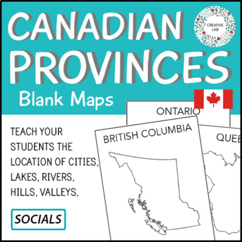
Canadian Province Maps & Canada Map
If you would like to purchase the 100% EDITABLE version of this product, click here! Great for differentiation!Make mapping engaging and memorable with these Canadian Provincial Maps.Provincial and Country maps can help students visualize the location of cities, lakes, rivers, hills, and valleys. Students also learn about the correct shape, size and location of the provinces. This resource packages includes all Canadian provinces and also a map of Canada.This Project Package Includes:- Cover Pag
Subjects:
Grades:
PreK - 7th
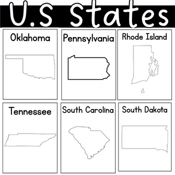
US state United States of America Outline Worksheets Posters Coloring Sheet
I had students illustrate the charateristics of each state. By the end of our unit, each student had their self-made posters. I also added some black pages with only the state's name.
Grades:
PreK - 12th, Higher Education, Adult Education
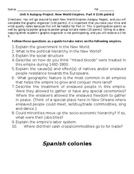
Autopsy: The New World, Part II.
Part II. The Gallery WalkThe students will go around to each New World Empires Autopsy Report, and complete the graphic organizer. It is important that take your time and write quality notes because this will be helpful for Part IV. Also, embedded is a student partner rater as well a reflection on the project itself.
Subjects:
Grades:
PreK - 12th, Higher Education, Adult Education
Also included in: Autopsy: The New World
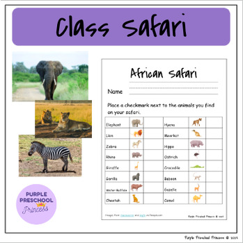
Class Safari Kit
You have everything you need for a class Safari in this product. Print off a checklist for kids to record which animals they find on their safari. Included are beautiful images (photo credit Wirestock from freepik.com) that you can "hide" around the school or classroom for students to discover. There are also questions provided with each species to begin conversations as you stop and discuss each animal. My students love this activity every year and I hope your students enjoy it as well. It's ve
Subjects:
Grades:
PreK - 1st
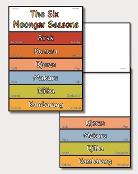
The Six Noongar Seasons Flip Book
This Australian Aboriginal Studies - Six Noongar Seasons flip book has been designed so that it can be adjusted for many different year levels and lesson activities in classrooms across Noongar Boodjar. Quick & Easy to Prep - Just print onto paper, cut out the flaps and staple/glue them together! A great teaching resource for those who are teaching HASS, Earth Science and/or Aboriginal studies.
Subjects:
Grades:
PreK - 8th
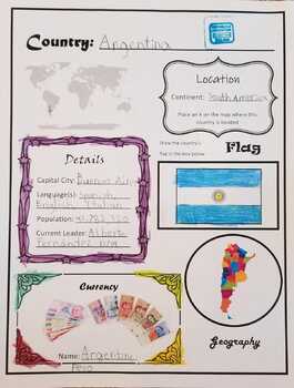
(FREE) My Trip Around the World - Countries Project
A scrapbook project for kids to learn about new countries. I kept the writing aspect to a minimum so this project can be adapted for younger ages as well. Simply choose a country and then research and glue pictures to the appropriate sections! You may print the country pages multiple times for each country you learn about
Subjects:
Grades:
PreK - 6th
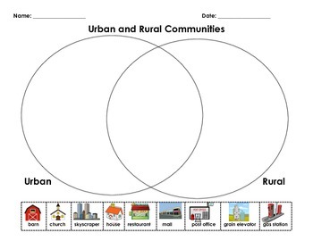
Urban vs. Rural Sort
This simple sort was used after teaching and discussion comparing and contrasting urban and rural settings.
**Images were found through Google Image search. I don't claim to have created or own any of the images.**
Grades:
PreK - 6th
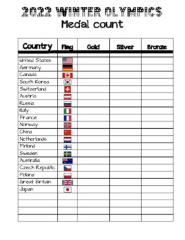
2022 Winter Olympics Medal Count Chart
Keep track of the medal count in your classroom with this handy chart. Print in color for the flags to "pop." Use tally marks to keep track of each country's total. Then put into a graph after the Olympics are finished.
Subjects:
Grades:
PreK - 8th
Mini Unit: Giving Thanks A Native American Good Morning Message
Giving Thanks: A Native American Good Morning MessageStudents of all ages can find meaning in the Thanksgiving address by Chief Jake Swamp. The lessons in this mini unit based on Giving Thanks: A Native American Good Morning Message feature graphic organizers and read aloud prompt questions. Students are encouraged to express themselves based on Chief Swamp's message of gratitude and thanks. Language Arts and Geography are the curriculum areas of focus as this mini lesson illustrates elements of
Grades:
PreK - 6th, Staff
Showing 1-24 of 46 results


