95,000+ results
World history independent works under $5
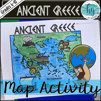
Ancient Greece Geography Map Activity (Print and Digital Resource)
This activity will help students better understand the geography of Greece and its impact on Ancient Greek civilizations. They will label and color the blank map version and then answer a few questions. Alternatively, students can just color on the coloring page version. It's a great way to incorporate geography in your lesson.What's included with the Printed Versions:*Ancient Greece map for students to label, color, and answer 10 questions (1 page map, 1 page directions/questions, uneditable pd
Grades:
6th - 10th
Types:
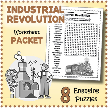
INDUSTRIAL REVOLUTION Worksheet Activity Packet - Word Search, Crossword & More!
Introduce and review vocabulary for teaching about the first Industrial Revolution in the United States with this puzzle worksheet packet. The puzzles will give students a chance to familiarize themselves with important terms while having fun. Puzzles make great no prep activities for early finishers, bell ringers, morning work, handouts, homework, reading comprehension and lesson plan supplements, themed classrooms, sponge activities, introductions to new topics, and sub files.The list of puzz
Subjects:
Grades:
4th - 7th
Types:
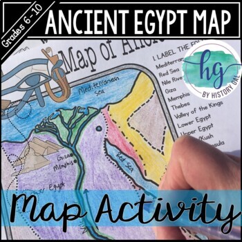
Ancient Egypt Map Activity (Print and Digital Resource)
Students will learn about important places in the Ancient Egypt civilization as they label and color a map. It's also a great way to incorporate geography in your lesson.What's included with the printed version:Blank Ancient Egypt map for students to label and color (1 page, uneditable pdf)Map Key (1 page, uneditable pdf)Ancient Egypt map for students to just color (1 page, uneditable pdf)Informational Reading (1 page, uneditable pdf) Animated PowerPoint shows each location and the key - perfect
Subjects:
Grades:
6th - 10th
Types:
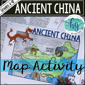
Ancient China Map Activity Lesson (Print and Digital Resource)
This activity will help students better understand the geography of Ancient China. They will label and color the blank map version and answer a few questions. Alternatively, students can just color on the coloring page version. It's a great way to incorporate geography in your lesson.What's included with the printed versions:*Blank Ancient China map for students to label, color, and answer questions (1 page map, 1 page directions, uneditable pdf)*Blank Ancient China map for students to label, co
Grades:
6th - 10th
Types:
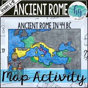
Ancient Rome to 44 BCE Map Activity (Print and Digital)
Students will label and color a map of Ancient Rome in 44 BC/BCE to better understand the expansion of Roman power. Students will also answer 6 questions about the map. What's Included with the print versions:*Blank map with 6 questions for students to answer (2 pages, BC and BCE versions included, uneditable pdf)*Blank map without questions (1 1/2 pages, BC and BCE versions included, uneditable pdf)*Map for students to just color (1 page, BC and BCE versions included, uneditable pdf)*Answer key
Subjects:
Grades:
6th - 9th
Types:
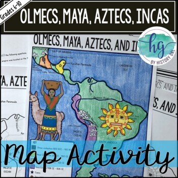
Mesoamerica (Olmecs, Maya, Aztecs) and Incas Map Activity - print & digital
Students will label and color a map to help them visualize and retain the location of the Olmecs, Maya, Aztecs, and Incas in Mesoamerica and South America. They will also label bodies of water and mountain ranges as well as use the map to answer 5 questions. What's Included with the Printed Map:*Blank map with 5 questions for students to answer (2 pages, uneditable pdf)*Blank map without questions (1 1/2 pages, uneditable pdf)*Map for students to just color (1 page, uneditable pdf)*Answer key fo
Subjects:
Grades:
6th - 9th
Types:
Histagories Trivia for Social Studies, US, and World History Activity
In this history review and conversation game, students are engaged with 8 short lists of information where they work with partners (or individually) to try to come up with answers based on the letter for the round. Included is a letter-choosing paper (students flip a coin and see where it lands!) plus 8 different lists geared toward History, Geography, Geology, and Social Studies themes! A condensed worksheet is also included to save space.Enjoy this fun way to spend the first few (or last few
Subjects:
Grades:
5th - 8th
Types:
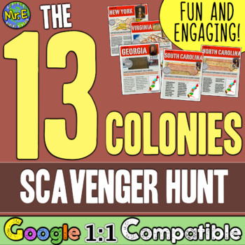
13 Colonies Map and Scavenger Hunt Activity
In this 13 Colonies activity and map scavenger hunt, students complete a gallery walk on the colonization of the 13 American Colonies. Students navigate around the room examining each colony's station to understand the reason behind its founding. Students can work individually or they can create groups and, before they are turned loose, divide up the responsibilities to research the founding of the 13 Colonies and detail the 13 Colonies map. This lesson is a great introduction to the 13 colo
Subjects:
Grades:
5th - 8th
Types:
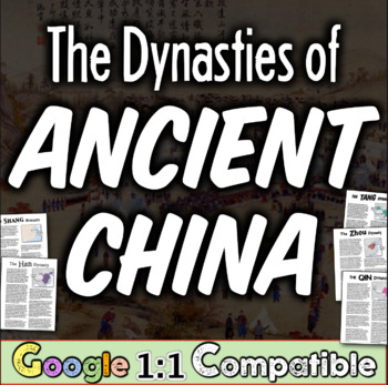
Ancient China Dynasties Activity | Han, Qin, Zhou, Shang, Tang in Ancient China
This engaging activity on Ancient China Dynasties teaches the major contributions of the Shang, Zhou, Qin, Shang, and Tang dynasties in an engaging and informative way. In this China resource, student groups work together to fill out a graphic organizer timeline that shows these major dynasties of Ancient China. This lesson includes student-friendly text for each of the dynasties and a large graphic organizer for their team to record their information! ☆ ☆ Get this engaging resource (and a hug
Grades:
5th - 9th
Types:
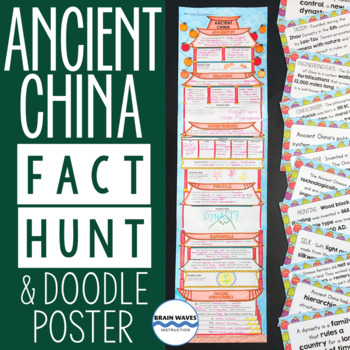
Ancient China Fact Hunt and Doodle Poster about ancient Chinese civilization
Students will learn about ancient China’s geography, religion, achievements, politics, economy, and social structures during this fun activity. First, they’ll rotate around the classroom to find fact cards about ancient China. They’ll transfer critical information from the cards to their poster worksheets. Finally, they’ll glue their work together to make a doodle poster shaped like an ancient Chinese temple. Oh, and they’ll fill their posters with doodles as they complete 5 different doodle tas
Grades:
4th - 7th
Types:
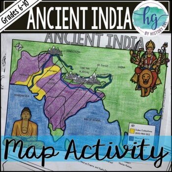
Ancient India Map Activity (Indus Civilizations, Maurya & Gupta Empire)
Students will label and color a map to help them visualize and retain the location of the Indus Civilizations, Maurya Empire, and Gupta Empire as well as key geographical features such as the Brahmaputra, Ganges, and Indus Rivers; Eastern and Western Ghats; Himalayas; Hindu Kush, and more. Students will also use the map to answer 5 questions. What's Included with the printed versions:*Blank map with 5 questions for students to answer (2 pages, uneditable pdf)*Blank map without questions (1 1/2 p
Subjects:
Grades:
6th - 9th
Types:
Also included in: Ancient India Bundle
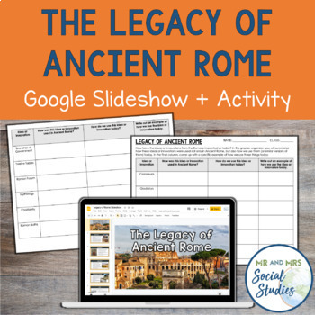
The Legacy of Ancient Rome Google Slideshow and Activity
Help your students understand the impact and legacy of Ancient Rome with this printable and digital activity! This no-prep resource includes a detailed Google Slideshow that teaches about 12 different innovations of the Romans and an analysis activity that helps students make connections between Ancient Rome and modern society.To use this resource, begin by presenting the slideshow or sharing it with your students. Then, students will work on the corresponding graphic organizer. On the graphic o
Grades:
6th - 9th
Also included in: Ancient Rome Unit Bundle | Activities, Simulation, Notes, Timeline, Test
Hammurabi's Code Activity and Doodle Notes
In this fun and engaging Hammurabi’s Code activity, students will use the Code of Hammurabi to decide the verdict for six fictional court cases they create. Make it more exciting by dressing up as a judge as you preside over the cases that students act out!This Hammurabi’s Code activity Includes:*Doodle Notes on Hammurabi’s Code (1 page; includes blank, fill in the blanks, coloring page, and color versions with BC and BCE dates; includes fillable PDF and Google Slides versions) *PowerPoint fo
Subjects:
Grades:
6th
Types:
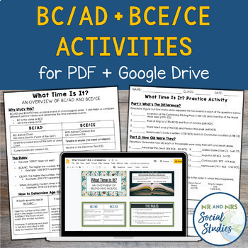
BC AD BCE CE Timeline Activity for Google Drive and PDF
If you are looking for a simple and effective way to teach BC AD and/or BCE CE to your students, you are in the right place! This no-prep resource for Google Drive + PDF not only teaches students about BC/AD + BCE/CE, but also gives them opportunity to practice!This resource includes:Teacher Guide (PDF)Student Handouts (Information Sheet + Worksheet, with answer keys)Editable Google SlideshowEditable Google Doc versions of the Student HandoutsSelf-Grading Google Forms (one version for BC/AD and
Grades:
6th - 9th
Types:
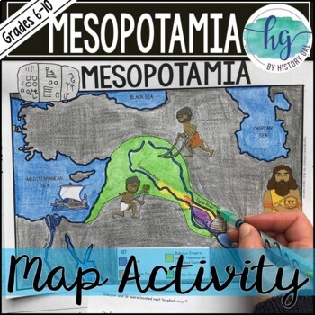
Mesopotamia Map Activity (Print and Digital)
Students will label and color a map to help them visualize the location of the Fertile Crescent and the early civilizations that emerged there (Sumer, Akkad, and Babylon under Hammurabi). Students will also use the map to answer 6 questions. Now, includes a digital version!What's included with the Printed Map:*Blank map with 6 questions for students to answer (2 pages, uneditable PDF)*Blank map without questions (1 1/2 pages, uneditable pdf,)*Map for students to just color (1 page, uneditable pd
Subjects:
Grades:
6th - 9th
Types:
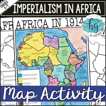
Imperialism in Africa Map Activity Lesson for World History (Print and Digital)
Students will learn about the scramble for Africa by labeling colonies and coloring the map to show which European nations controlled which colonies and which countries remained independent. Students will also answer 3 questions about the map.What's Included with the printed version:*Blank Africa in 1914 map with questions for students to answer (2 pages)*Blank Africa in 1914 map without questions (1 1/2 pages)*Coloring Page for Africa in 1914 map (1 page)*Answer key for map and questions (2 pa
Subjects:
Grades:
6th - 10th
Types:
River Valley Ancient Civilizations | Analyze Mesopotamia, Egypt, India, & China
River Valley Ancient Civilizations: Students analyze Mesopotamia, Egypt, India, & China In this highly-engaging River Valley Ancient Civilizations lesson, students work individually or in teams to analyze the four great river valley civilizations. Students investigate the Tigris-Euphrates river system at Mesopotamia, the Nile River Valley of Egypt, the Indus River Valley on the Indian Subcontinent, and the Yellow River (Huang He) of China!☆ ☆ Get this engaging resource (and a huge discount)
Grades:
5th - 8th
Types:
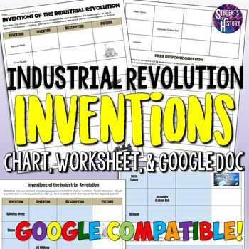
Industrial Revolution Inventions Worksheet Activity
This simple Industrial Revolution activity features a worksheet with 11 of the most significant inventions of the era. Students research to find the inventor, a picture, and a description for each. However, sometimes the invention is given, while other times students must start with the inventor or just a picture. After completing the chart, students complete a free-response question on which invention they feel has had the biggest impact on the world today.The inventions included on the chart a
Grades:
5th - 10th
Types:
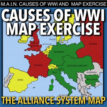
World War I Map Activity & MAIN Causes (WW1)
World War I Map Activity and MAIN Causes of WWI takes students to Europe 1914 to discuss the M.A.I.N. causes of World War 1(Militarism, Alliances, Imperialism and Nationalism). Then students learn about the alliance system through a map activity. No other maps from the book are needed, just thee colored pencils or crayons. This can be used in class or as homework as it’s a completely stand alone assignment. This is also perfect for substitute teacher plans. A key is included.*** A modified Goog
Subjects:
Grades:
7th - 12th
Types:
Native Americans Tribes and Regions | Student Matrix for Native American Regions
In this Native American tribes and regions lesson, students analyze the four major regions of Native Americans in North America. Students learn about Native Americans living in the Eastern Woodlands, the Plains, the Pacific Northwest, and the Desert Southwest! Students learn about the environment, the tribes who lived in each region, and their culture (housing, food, way of life, clothing, and religious beliefs). Finally, a graphic organizer is included for students to compile their learning o
Subjects:
Grades:
5th - 9th
Types:
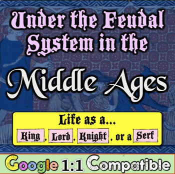
Middle Ages Feudalism | Detailing European Feudalism in First-Person Accounts!
In this highly-engaging Middle Ages Life in European Feudalism activity, students read first-person accounts from different classes in European Feudalism in an attempt to understand the feudal system, vassals, the structure of a fief, and the role of Kings, Lords, Knights, and Serfs!This Middle Ages lesson is included in the larger Middle Ages Unit Bundle located here!Each student reads a different first-person perspective, from either the perspective of a King, a Lord, a Knight, or a Serf. The
Grades:
5th - 8th
Types:
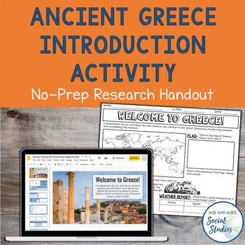
Ancient Greece Unit Introduction Research Activity | Worksheet + Digital Version
If you are looking for an easy way to start your unit about Ancient Greece, this is the resource for you! This two-sided activity sheet or editable Google Slideshow guides students through some country research about modern-day Greece and sparks their curiosity about things they will learn during your unit!This resource includes both a Google Slides version and a printable PDF version. An answer key is also provided.The topics included on this introductory handout are:geographyflagweatherlanguag
Grades:
5th - 8th
Types:
Also included in: Ancient Civilizations Unit Introduction Activities Bundle | Worksheets
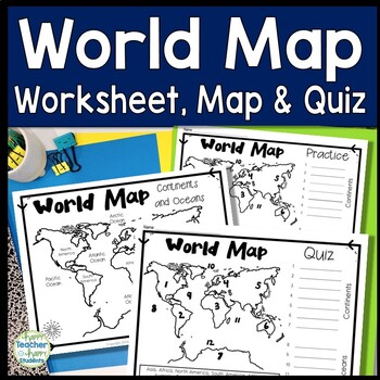
World Map: World Map Quiz (Test) and Map Worksheet | 7 Continents and 5 Oceans
Map of the World Test: Easy-to-read World Map Quiz requires students to locate 7 Continents and 5 Oceans. This resource also includes a world map printable for kids to practice learning the map of the world. Students must label continents and oceans: 7 Continents (Asia, Africa, North America, South America, Antarctica, Australia & Europe) and 5 Oceans (Atlantic, Pacific, Indian, Arctic & Southern). This is an ideal continents and oceans activities for 1st grade, 2nd grade, 3rd grade, 4th
Grades:
2nd - 6th
Types:
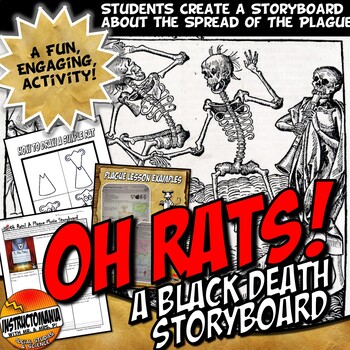
Oh Rats! Black Death Bubonic Plague Story Board Europe Middle Ages Activity Set
Created to align with students' supporting claims with evidence! In this activity, students create a 9-scene storyboard for an animated film. The film should be about a flea-ridden rat who helped to spread the Bubonic Plague into Europe during the 1300s. An example page and an easy step-by-step how to draw a basic cartoon rat printable are both included.This lesson can be used after the Plague/Black Death Powerpoint Slides also posted or in conjunction with our Plague that Rocked the World Lesso
Grades:
6th - 10th
Types:
CCSS:
Showing 1-24 of 95,000+ results

