22,238 results
World history printables under $5
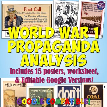
World War 1 Propaganda Analysis Activity
This lesson on WW1 Propaganda has students utilizing higher-level thinking skills to analyze 15 primary source propaganda posters. Everything you need is included for the lesson plan, including a worksheet, 15 full color propaganda posters, and an answer key.The worksheet explains the 5 main objectives of wartime propaganda and has students come up with their own personal definition of propaganda. They then determine the goal of each poster based on the objectives. This provides a framework for
Grades:
7th - 12th
Types:
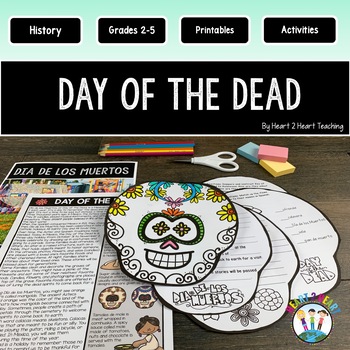
Day of the Dead Activities & Craft Reading Passages Flip Book Día de los Muertos
These fun activities were created to teach students about Dia de los Muertos, or Day of the Dead, a Mexican holiday celebrated in November each year. This is the perfect resource for teachers looking to engage their students in a fun and educational way. The Day of the Dead is a time to remember and celebrate the lives of loved ones who have passed away, while embracing the joy and beauty of life.What's Inside:Reading PassagesSymbols of the Day of the DeadComprehension QuestionsInformation about
Grades:
2nd - 4th
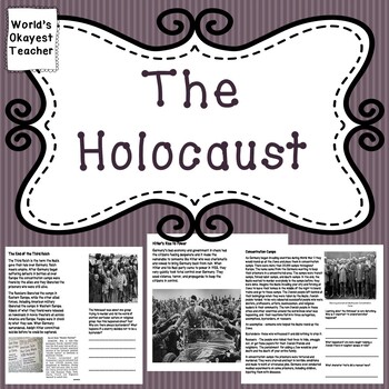
The Holocaust
Students will read and answer text dependent questions about the Holocaust, the rise of Hitler to power, concentration camps, and end of the Third Reich. There are critical thinking questions and some primary source photographs to analyze.
Grades:
4th - 8th
Types:
Also included in: World War II Bundle
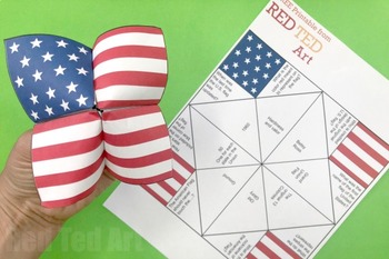
STEAM American Flag Cootie Catcher (4 Pages) - Memorial Day, 4th July, Flag Day
An easy patriotic STEAM Project for Memorial Day, 4th July or Flag Day. These American Flag Cootie Catcher printables are an easy patriotic project to print and distribute in the classroom. There are two flag cootie catchers available - the first contains a set of Flag Day facts. The second cootie catcher is blank so the children can practice writing and adding their own newly learnt facts for Memorial Day or 4th July (or make up their own questions!).This paper craft profits the opportunity to
Subjects:
Grades:
1st - 5th
Types:
Also included in: STEAM American Flag Activities x 5 - Memorial Day, 4th July, Flag Day
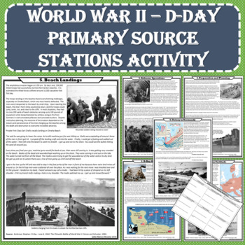
World War II (WWII) - D-Day Primary Source Stations Activity (PDF and Digital)
The intent of this lesson is to expose students to a variety of topics in a short amount of time using fun and engaging methods. Each station of this NO PREP activity contains enthralling primary source accounts. The activity is available in print and digital format. After completing this lesson, students will have a depth of understanding about the D-Day invasion, the sacrifices made during the attack, and the impact the invasion had on the overall outcome of World War II. Students will exa
Grades:
6th - 11th
Types:
CCSS:
Also included in: US History - 1877 to the Present - Station Activities GROWING BUNDLE
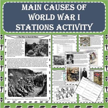
MAIN Causes of World War I (WWI) Stations Activity (PDF and Google Docs Formats)
This NO PREP stations activity presents descriptions of the causes of WWI with visually appealing photos, political cartoons, maps, graphs, etc. The resource is available in both PDF and Google Docs formats! This activity will help to increase student growth using an engaging and effective method!Each station of this NO PREP activity contains a description of one of the causes of WWI. After completing this lesson, students will understand how tensions in Europe led to widespread and rapid warf
Grades:
5th - 10th
Types:
Also included in: World War I (WWI) Stations Activity BUNDLE (PDF and Google Docs Formats)
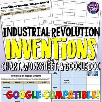
Industrial Revolution Inventions Worksheet Activity
This simple Industrial Revolution activity features a worksheet with 11 of the most significant inventions of the era. Students research to find the inventor, a picture, and a description for each. However, sometimes the invention is given, while other times students must start with the inventor or just a picture. After completing the chart, students complete a free-response question on which invention they feel has had the biggest impact on the world today.The inventions included on the chart a
Grades:
5th - 10th
Types:
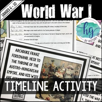
World War I (World War 1) Timeline Activity for U.S. & World History
This resource begins with the assassination of Archduke Ferdinand and ends with the Treaties of Versailles and Sevres. In this World War I activity, the teacher scatters and hides 32 event cards around the room. Students use QR readers to find the dates of the events and record the information on a handout. Then, students place the events in the correct chronological order on a timeline.No QR readers? No problem! A non-QR version is also included!Note: The QR codes were designed for students to
Subjects:
Grades:
6th - 10th
Types:
CCSS:
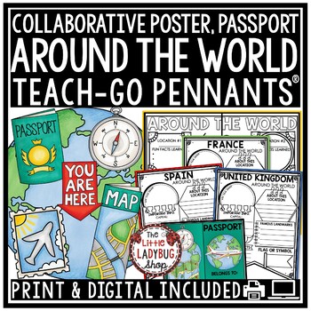
Countries Around The World Culture Country Research Project Templates Passport
Is your school doing Around The World Day? Engage and Grow your students with this packet including a Passport, Research Teach- Go Pennants® and a Collaborative Poster! Your students will love having these displayed after their research! INCLUDED:Print and digital bonus option includedGrading rubric45 Templates includedBlank Template for any extra countries you are studyingBack for extra information Passport in 2 sizes and cover in color and BWCollaborative Color Team Poster: examples provided!R
Grades:
3rd - 5th
Types:
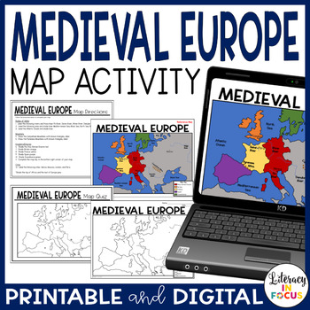
Medieval Europe Map Activity and Quiz | Google Version Included
A great intro lesson and assessment for your Medieval Europe unit! The included map lesson and quiz focus on the geography and empires of Europe in the Middle Ages. A digital version is included for use in your Google Classroom. **This resource is part of the World History Map Activities Bundle. TEN map lessons and assessments are included at a 20% discount price! Click here to see all the resources in the bundle and take advantage of the HUGE savings.INCLUDED WITH YOUR PURCHASE:Medieval Europe
Grades:
5th - 8th
Types:
CCSS:
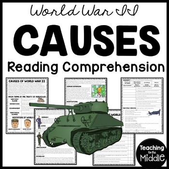
Causes of World War II (2) Informational Text Reading Comprehension Worksheet
This passage explains the major causes of World War II. 25 questions (true/false, identify, and multiple choice) assess students' learning. I've included a color and black and white version, as well as a key. INCLUDES:Article (1100-1200 Lexile) 25 questions- true/false, identify the term, multiple choiceColor and BW Versionkey includedPart of my WWII Reading Comprehension Bundle*If you don't already, Follow Me!
Grades:
6th - 8th
Types:
Also included in: World War II (2) Reading Comprehension Worksheet Bundle Holocaust
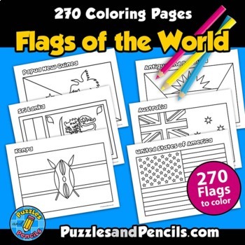
Flags of the World Coloring Pages | 270 World Flags to Make
Flags of the World Coloring Pages. No prep, printable pages. 270 world flags to color, cut out and decorate your classroom, home or bulletin board.Includes:- Coloring pages of 270 flags of the world. Black and white pages for printing. - Index of flags includedFlag document is sized for US letter paper (8.5 x 11) and can also be printed in other sizes using your printer settings.Reinforce learning and have fun making classroom decorations. Great for extending research projects and studies.__
Grades:
1st - 8th
Types:
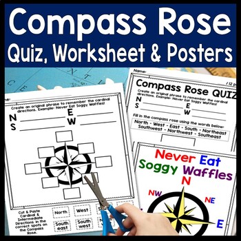
Compass Rose Worksheet, Quiz Test & Posters: Cardinal Intermediate Directions
Compass Rose Quiz, Posters & Practice Sheet Activities for Teaching Cardinal & Ordinal Directions. Students will enjoy practicing cardinal and intermediate directions with these Compass Rose Posters, Cut-and-Paste Compass Rose Worksheet printable and coordinating Compass Rose Quiz. Students must also create an original phrase to remember the directions, i.e. Never Eat Soggy Waffles! Teaching map skills? Need to review a compass rose for kids? Confused by north, east, south, & wes
Grades:
2nd - 6th
Types:
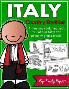
Italy Booklet (A Country Study!)
This "All About Italy" booklet can be used for a very basic country study in lower elementary grades! Each page contains a basic fact and related illustration! All graphics are in an outline format so that it's ready to be colored like a mini-coloring book.This coloring booklet gives all the general/basic information about Italy, including:-geography -Italian flag-capital city of Rome (famous sites)-popular Italian foods-most popular sport (football)-Ancient Romans (powerful military)-Leaning To
Grades:
K - 5th
Types:
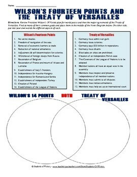
Treaty of Versailles and 14 Points Venn Diagram
This Treaty of Versailles and 14 Points comparison worksheet has students analyzing Woodrow Wilson's 14 Points with the final resolutions of the Treaty of Versailles and then completing a Venn Diagram. Both of the primary source documents are shortened/excerpted and simplified so that students can more easily understand their meaning. Students then make connections to see similarities and differences and place those into a Venn Diagram. This is an excellent activity for both World and American H
Grades:
7th - 12th
Types:

Industrial Revolution Child Labor - Photo Analysis Activity with Assignments
16 page Industrial Revolution resource is a photo analysis that uses a "centers" activity format with seven different photos related to child labor.
The students rotate through each of the seven centers in order to view a different image related to the Industrial Revolution and child labor and use an included photo analysis chart in order to record their observations and interpretations of each image. The included photo analysis chart requires students to consider the jobs, age and dangers that
Grades:
5th - 11th
Types:
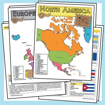
Countries of the World - Maps, Facts and Flags
Did you know that the Eiffel Tower was only built as a temporary structure, or that there is a hill that has been on fire for fifty years, or there is a country that rains fish? With over 200 hours of research, these worksheets are full of fun and interesting facts that will bring the countries of the world to life.
Grades:
1st - 12th
Types:
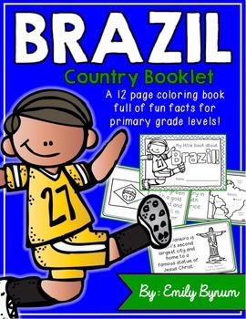
Brazil Booklet (A Country Study!)
This "All About Brazil" booklet can be used for a very basic country study in lower elementary grades! Each page contains a basic fact and related illustration. All graphics are in an outline format so that it's ready to be colored like a mini-coloring book.
This coloring booklet gives all the general/basic information about Brazil, including:
-geography
-Brazilian flag
-capital city of Brasilia (Cathedral of Brasilia)
-Brazilian foods
-Rio de Janeiro
-Carnival festival
-football (most popular
Grades:
K - 3rd
Types:
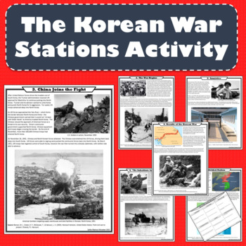
The Korean War Stations Activity (Print and Digital Formats)
The intent of this lesson is to expose students to a variety of topics in a short amount of time using fun and engaging methods. Each station of this NO PREP activity examines an aspect of the war. After completing this lesson, students will understand the major causes, events, and results of the Korean War. Students will examine each of the following topics: 1. A Divided Nation, 2. The War Begins, 3. China Joins the Fight, 4. “No Substitute for Victory”, 5. Armistice, 6. Results of the Korean W
Grades:
6th - 9th
Types:
Also included in: US History - 1877 to the Present - Station Activities GROWING BUNDLE
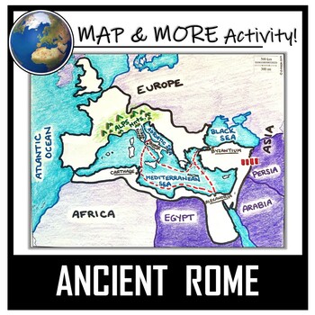
Ancient Rome Map Activity- Roman Empire (Label and Color!)
This Ancient Rome Map Coloring & Labeling Activity is a great resource to enhance your unit! Each student will make their own, personalized map of the Roman Empire, and learn about the geography and landmarks of the region. They will label and color their blank map, and answer follow-up questions related to the geography of Ancient Rome. A fun 'Make a Travel Brochure' project has also been added. It is a great way to connect this map activity to your lesson on Ancient Rome! A link to Goo
Grades:
4th - 11th
Types:
CCSS:
Also included in: Ancient Civilizations / World Maps BUNDLE- Color & Label Activities!
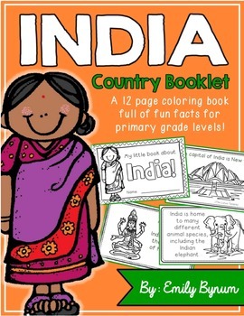
India Booklet (A Country Study!)
This "All About India" booklet can be used for a very basic country study in lower elementary grades! Each page contains a basic fact and related illustration. All graphics are in an outline format so that it's ready to be colored like a mini-coloring book.
This coloring booklet gives all the general/basic information about India, including:
-geography
-Indian flag
-capital city of New Delhi (Lotus Temple)
-Himalayas
-sacred animals (cows)
-monsoons
-cricket (popular sport)
-Taj Mahal
-common
Grades:
K - 3rd
Types:
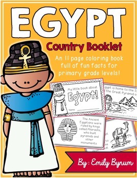
Egypt Booklet (A Country Study!)
This "All About Egypt" booklet can be used for a very basic country study in lower elementary grades! Each page contains a basic fact and related illustration. All graphics are in an outline format so that it's ready to be colored like a mini-coloring book.
This coloring booklet gives all the general/basic information about Egypt, including:
-geography
-Egyptian flag
-The Nile River
-ancient Pharaohs
-the Sphinx/Great Pyramid of Giza
-camels
-religion
-mummification
-hieroglyphics
-common Ara
Subjects:
Grades:
K - 4th
Types:
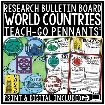
Around The World Country Research Project Templates Rubric Geography Countries
Around the World Countries Research Teach-Go Pennants™ Templates. These are great templates for your students to use to research these locations. Colored and BW Pennants included, perfect for bulletin board displays!Click Here to Check out over 200 Teach-Go Pennants™INCLUDED:All 40 Pennants come in color and bw optionsGrading RubricBack side of pennant for extra researchLocations included:Blank for studying any other location not included.Africa (blank for added country)South America (blank for
Grades:
3rd - 5th
Types:
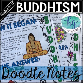
Buddhism Doodle Notes and Digital Guided Notes
Students will color and doodle as they take notes to learn about Buddhism. These graphic doodle notes cover Siddhartha Gautama and the founding of Buddhism, the 4 Noble Truths, the Eightfold Path, and important Buddhist symbols. What's included with the printed Doodle Notes:*Teacher directions and a list of the videos included the included PowerPoint (4 pages)*Blank doodle notes for students to fill in and color as you cover the information on the handouts (2 pages; uneditable PDF)*Fill-in-the-b
Subjects:
Grades:
6th - 10th
Types:
CCSS:
Also included in: Ancient India Doodle Notes Bundle (Ancient India, Hinduism & Buddhism)
Showing 1-24 of 22,238 results


