91 results
1st grade geography study guides
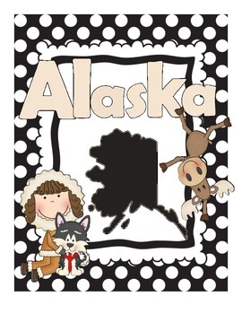
Alaska State Study Guide
Description:
Great resource for learning about Alaska! All the info you need is included about the state and a coloring book for the kiddos to enjoy and take home!
Grades:
K - 5th
Types:
All About Maps and Globes Activity Book w/ Assessment Included
This inclusive Map and Globe packet includes a Map & Globe Activity Booklet which covers a variety of skills associated with the understanding of the Globe and Map characteristics. Activity Booklet also contains a Review at the end.
Suggested Uses: Whole group, small group, center activity etc...
Activity Booklet can serve as study guide for Assessment
Also included : Assessment and Assessment Key
Various info. covered...
Map Key
Equator
Prime Meridian
Latitude
Longitude
United States
Grades:
1st - 4th
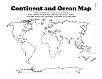
Continent and Ocean Map Worksheet Blank
Continent and Ocean Map worksheet can be used as a worksheet as well as a pretest and post test to assess students knowledge. Student can label and then color the different continents and oceans in order to learn this section of the AKS. Additional Maps - World Maps - Continent, Oceans, Climate Zones and Time Zone MapsUnited States Map Bundle - Political and Physical MapsSouth America Maps - South America Political and Physical MapsLouisiana Purchase MapBe the first to know about new products (a
Subjects:
Grades:
1st - 12th
Types:
Also included in: US History Bundle / Distance Learning
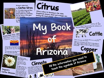
Arizona Information Guide
Need help teaching the symbols of Arizona? Here is all the information you need.Guide includes information on the state flag, tree, flower, bird and the 5 C's of Arizona (cattle, citrus, climate, copper and cotton).Don't forget to download the student booklet! Check out my store, Making Mountains Out of Molehills.
Subjects:
Grades:
K - 2nd
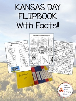
Kansas Day Symbol Flipbook W/ Facts!
http://educators15.blogspot.com/2015/01/kansas-day.html
We used Jayhawk colored construction paper.
How to make the flipbook:
1. Stagger Red, Yellow, and Blue Construction paper with 1/2 inch separation on the right side. Then fold, this should give you 6 tabs.
2. Staple and cut in half. On the upper right hand corner of the flipbook cut the corner to resemble Kansas's shape.
3. There are two ways to set up the tabs.
- One teacher chose to have the symbol title (State Mammal, State Insect,
Grades:
PreK - 12th
Types:
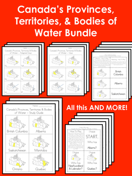
Canada's Provinces, Territories & Bodies of Water BUNDLE!
Practice! Practice! Practice!
I designed this package to help my students study Canada's provinces, territories, and bodies of water (incl. the 10 provinces, 3 territories, and the Pacific Ocean, Arctic Ocean, Atlantic Ocean, Hudson Bay, & The Great Lakes). This package uses uniform images of the ENTIRE MAP OF CANADA with the province/territories/bodies of water shaded in or highlighted - this helps students study the parts of Canada in a holistic way that helps them learn the different pa
Subjects:
Grades:
1st - 5th
Types:
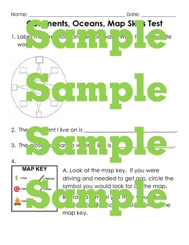
Continent, Ocean, Map Skills Test and Study Guide
3 page test and a study guide are included- labeling a map with continents and oceans, labeling a compass, working with a map key, reading maps, knowing directions are all tested. See the thumbnails for pictures.
Subjects:
Grades:
1st - 4th
![Preview of Memorizing Mnemonics for the United States Geography [Flashcards, Maps, Quizzes]](https://ecdn.teacherspayteachers.com/thumbitem/Memorizing-Mnemonics-for-the-United-States-Geography-Flashcards-Maps-Quizzes--5905142-1711417368/original-5905142-1.jpg)
Memorizing Mnemonics for the United States Geography [Flashcards, Maps, Quizzes]
Making learning the United States and capitals easy and fun!A mnemonic is a memory aid! I created pictures and phrases that help students easily memorize the United States by name, place, and/or shape!I have had this product in the works for 4 years, ever since I started using mnemonics tricks in my classroom with geography! My students, Kindergarten through 6th grade, use these flashcards and maps successfully to memorize states (and even countries throughout the whole world)!Each of these reso
Subjects:
Grades:
K - 6th
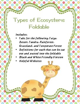
Types of Ecosystems Foldable
This foldable includes tabs for the ecosystems rainforest, tundra, grasslands, desert, temperate forest, and taiga. Although designed for
use in an interactive notebook, the foldable can also be used
alone. It’s a great tool for introducing Ecosystems! Students
write the definition of each, draw pictures, or list examples to
remember what they mean. Then students can use it later to review.
Includes a black and white friendly version, definitions that students can paste into the foldable, plus
Subjects:
Grades:
1st - 11th
First Americans Booklets: Powhatan, Lakota and Pueblo Indians - Native Americans
First Americans Booklets: Powhatan Indians, Lakota Indians, and Pueblo Indians - Native Americans - Contributions of American Indians Booklet - American Indians Past and Present Booklet - King Virtue's ClassroomThese booklets cover the following:* Locating and describing the relationship between the environment and culture of the Powhatan of the Eastern Woodlands, the Lakota of the Plains, and the Pueblo Indians of the Southwest.* Comparing the lives and contributions of three American Indian cu
Subjects:
Grades:
1st - 3rd
Types:
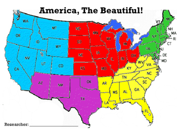
America, The Beautiful! All about the Five Region of the United States
This research guide focuses on the five regions of the United States!
The first page of the guide is a page focusing on the researcher (student). This page has a space for the researcher to write the city and state where they reside, and the region in which his/her home state is located. Also, there is space for the research to include a self portrait and to illustrate his/her home.
A map of the United States highlighting specific region and the region At-A-Glance is available for all five re
Grades:
1st - 5th
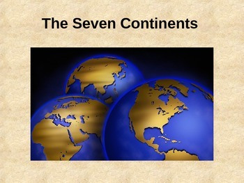
Seven Continents Powerpoint Presentation w/ Quiz
This powerpoint is great to introduce a lesson about the seven continents. It includes pictures and facts about each continent. This presentation concludes with a quiz to check for student understanding.
Subjects:
Grades:
K - 6th
Learn About My Town, City, and State Packet for Geography and History
Thanks for considering to download! This packet was created as a guided research project for K-1st students (approximately) to learn about a specific town, city or state. Duplicates of the worksheets are included with “town/city/state” interchanged for your preference. By downloading this packet, you will get the following:
• Fill in the black research guide
• Question form of the research guide
• Past and present sheet (draw and write)
• Past and present sheet (write only)
I’m fairly new to T
Grades:
K - 2nd
Types:
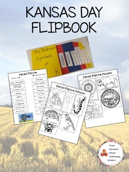
Kansas Day Symbol Flipbook
We used Jayhawk colored construction paper.
How to make the flipbook:
1. Stagger Red, Yellow, and Blue Construction paper with 1/2 inch separation on the right side. Then fold, this should give you 6 tabs.
2. Staple and cut in half. On the upper right hand corner of the flipbook cut the corner to resemble Kansas's shape.
3. There are two ways to set up the tabs.
- One teacher chose to have the symbol title (State Mammal, State Insect, etc.) on the outer tabs and placing the picture labels (
Grades:
K - 12th
Types:
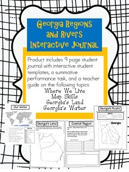
Georgia Regions and Rivers Interactive Journal
This notebook includes fun interactive activities about map skills surrounding Georgia's regions and rivers. It allows your students to stay organized while focusing on the key concepts aligned to the second grade Georgia Performance Science Standards.
The notebook is made of nine student pages with additional interactive template pages to complete the activities. It also includes a summative performance task where student can display the skills learned. Lastly, you get nine completed teacher
Subjects:
Grades:
1st - 3rd

Our World: Maps and Globes
This standards based resource provides a thorough study guide and/or assessment format for the concept of Our World: Maps and Globes, the globe as a model of Earth, the different parts of a globe and how maps represent land formations, and climate, and so forth. It can be used as a unit study guide, pretest, or posttest. It can be used in a variety of instructional settings: individual, small group, whole group, or even as an independent study task.
Subjects:
Grades:
1st - 4th
Types:
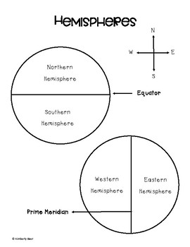
Hemispheres Notes
I needed a visual for my students to understand the Northern and Southern Hemispheres, divided by the Equator, and the Eastern and Western Hemispheres, divided by the Prime Meridian. A straight forward diagram that the students can color if they want. On the back, the hemispheres show the continents as well.
Subjects:
Grades:
1st - 5th
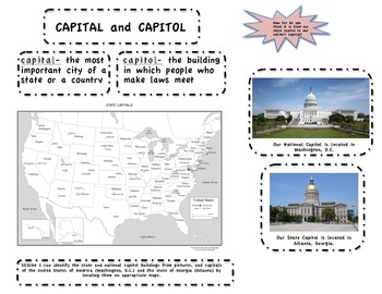
Capitol and Capital, SS2CG4
Capitol and Capital. Use this sheet for U.S. and Georgia specific for standard SS2CG4: I can identify the state and national capitol buildings from pictures, and capitals of the United States of America (Washington, D.C.) and the state of Georgia (Atlanta) by locating them on appropriate maps. Can be used to paste into a journal or as an informational sheet.
Subjects:
Grades:
1st - 3rd
Types:
Oregon State Study Guide
Description:
Great resource for learning about Oregon! All the info you need is included about the state and a coloring book for the kiddos to enjoy and take home!
Grades:
K - 5th
Types:
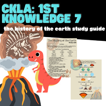
First Grade CKLA Knowledge 7 History of the Earth Study Guide
A resource to help students and families prepare for their Knowledge 7 Domain Assessment!
Grades:
1st
Types:
Also included in: BUNDLE Knowledge Units 1-11 Study Guides
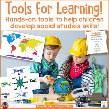
Hands-On Social Studies Tools for Learning
Want your students to be independent in Social Studies? These maps, tools, and references can be right at their fingertips!Why use Social Studies Tools for Learning: Knowing about our world takes many reference materials. Having these tools at their fingertips can make a world of difference.How it works: Rather than a few resources for the child's desk name tag, here are several pages of tools that the children can use to make their own tool folders or "offices". What’s included: There are 6
Subjects:
Grades:
1st - 3rd
Types:
Also included in: Hands-On Tools for Learning Bundle
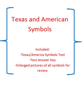
America and Texas Symbols test {large pictures of each included}
This is a test for Texas and American symbos. This includes...
-Test
-Answer Key
-American Symbols enlarged to print out for a poster for American Symbols
-Texas Symbols enlarged to print out for a poster for Texas Symbols
Grades:
1st - 5th
Types:
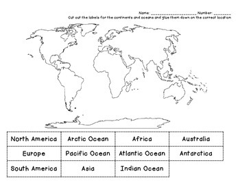
Continents Cut & Paste
Have students cut and paste labels for 7 continents and 4 oceans.
Subjects:
Grades:
1st - 4th
Types:
Hawaii State Study Guide
Description:
Great resource for learning about Hawaii! All the info you need is included about the state and a coloring book for the kiddos to enjoy and take home!
Grades:
K - 5th
Types:
Showing 1-24 of 91 results

