65,000+ results
8th grade Valentine's Day geography resources
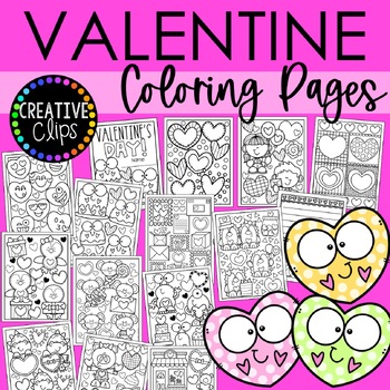
Valentine's Day Coloring Pages, Sheets of Valentine Clipart {Coloring Book}
Grab your crayons! It's time to color with this HUGE 31-page Valentine Coloring Book! These coloring pages are perfect for the month of February, student Valentine gifts, Valentine classroom parties and more! You can also use these Valentine coloring sheets for story starters, early finishers, indoor recess and writing prompts!Want to know the best part?? You can print endless copies of these coloring pages for your students, so you will never run out- and you will never pay more than once!This
Subjects:
Grades:
PreK - 12th, Staff
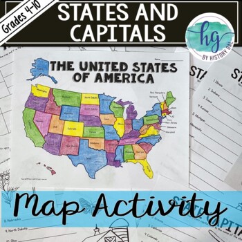
50 States and Capitals Map Activity with printable worksheets & digital map game
Do your students need to know the state capitals and the location of each state on a map? This engaging map set for the 50 states and their capitals will guide your students through labeling a blank map and learning the capitals. Print and digital options plus access to online self-checking map and flashcards let you easily customize the lesson to best fit the needs of your students. Students will label a blank map of the United States with the names of the 50 states and then record the capital
Subjects:
Grades:
4th - 10th
Types:
Also included in: American History Map Activities Bundle for U.S. History Units & Lessons
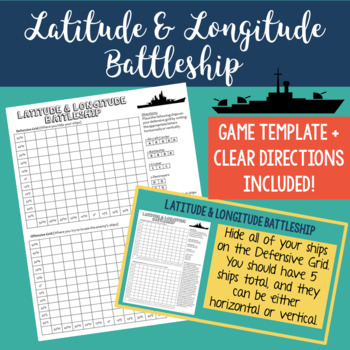
Latitude and Longitude Battleship Game - Map Skills Geography Activities
Help your students practice their latitude and longitude skills in a fun and engaging way using this no-prep latitude and longitude battleship game! The directions are included right on the template, so this is a no prep activity that comes ready to play. I've also provided PowerPoint directions so you can show students how to play as a class. Students will become well-practiced with using a grid and making sure they always give latitude coordinates first. I've used this every year and my studen
Grades:
4th - 8th
Types:
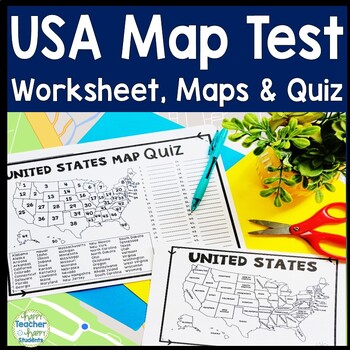
United States Map Quiz & Worksheet, USA Map Test w/ Practice Sheet, US Map Quiz
United States Map Test: Easy-to-read US Map Quiz and Practice Sheet will help students learn to correctly identify and locate all 50 states. This product also includes a labeled USA Map in full & half-page design and blank USA map for practice. Learning how to correctly identify all 50 states on a map of the United States is a critical skill for students of all ages.US Map Quiz (US Map Test) is ready to print-and-go to test knowledge of the USA Map and 50 states. This map of the United State
Grades:
2nd - 8th
Types:
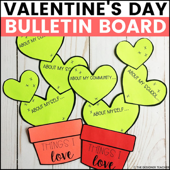
February Valentine's Day Bulletin Board and Cactus Door Decor Craft
Create an adorable Valentine's Day bulletin board while encouraging students to reflect on the things they love. The cactus pot says "Things I love" and the heart cactus sections prompt, "About myself...," "About my school...," and "About my community..." This kit includes multiple versions of both the low-prep and craftivity version of the cacti to best suit your students, including a Spanish version.Here's what you'll get:Craftivity version (to be printed on colored paper) in half and full-pag
Grades:
K - 8th
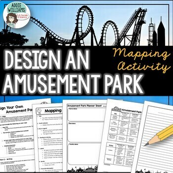
Map Skills Mapping - Design Your Own Amusement Park
Review the basics of mapping with this fun and engaging activity! Using map skills learned in class, students must design a map of their own amusement park and include mapping elements such as scale, a legend, symbols, and more! They must also write about and explain their "best" or most amazing ride. This activity has always been one of my students' favorite projects! It's a fun and unique way to wrap up a mapping unit or a fun project for social studies!I encourage the students to pick a them
Subjects:
Grades:
6th - 9th
Types:
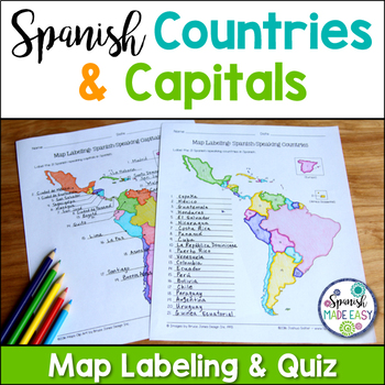
Spanish-Speaking Countries and Capitals Maps and Quiz
This is a map labeling activity and matching quiz over the 21 Spanish-speaking countries and capitals. Students will label and identify the 21 Spanish-speaking countries and capitals in Spanish. This is a great activity when reviewing Spanish-speaking countries and capitals or Spanish geography. Makes a great coloring page. Answer keys are included.
Countries included:
España, México, Costa Rica, El Salvador, Guatemala, Honduras, Nicaragua, Panamá, Cuba, La República Dominicana, Puerto Rico, Ar
Subjects:
Grades:
6th - 12th
Also included in: Spanish Countries and Capitals Geography Bundle
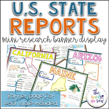
State Report Research and Banner Display Project
If you're looking for an alternative way for your students to research and report on states in the U.S., then look no further. These research banners are not only engaging and educational, they are also visually appealing and provide a great classroom/hallway display.This set includes:● 50 visually appealing state banners● 50 state banners with writing lines (and state flag)● 50 blank state banners for student creativity● Teacher lesson plan page (includes research web sites)● Student recording
Grades:
5th - 8th
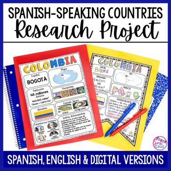
Spanish Speaking Countries Project Research a Country with Google Slides Digital
This Spanish-Speaking country project is an organized and efficient way for students to research Spanish-speaking countries. The templates are in both English and Spanish and can be completed digitally or handwritten. Includes digital templates for PowerPoint and Google Slides.*can easily be adapted for other languages, geography, or social studies classesThis project to create an infographic for a country includes:-Templates in 3 different designs-English templates-Spanish templates-Completed
Subjects:
Grades:
6th - 12th
Types:
5 Themes of Geography Stations Activity | Five Themes of Geography Lesson
In this Five Themes of Geography stations and student activity, students analyze the five themes of geography (location, place, human-environment interaction, movement, and region) to understand how geographers study the world!This best-selling geography resource is included in the massive All Things Geography Bundle, as well as the American or the World History PLUS Curriculum!This lesson begins with students doing an introductory reading and activity on the five themes of geography. Then, stu
Grades:
5th - 9th
Types:
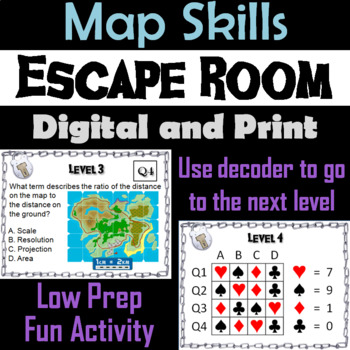
Map Skills Activity Escape Room (Geography Unit: Latitude & Longitude, Map Types
This breakout escape room is a fun way for students to test their skills with maps.Important: (How to Make Completely Digital)This product normally requires the printing of the questions to accompany a digital form for students to input answers. But if you follow a couple simple steps, this can be made entirely digital! Just use the following tool:https://smallpdf.com/split-pdf(choose "extract pages")to extract the pages containing the questions into its own PDF. You can then upload that PDF t
Grades:
4th - 8th
Types:
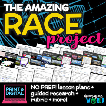
Geography Adventure: Amazing Race Project for Middle School (End-of-Year)
**Embark on an Exciting Journey Around the World with "The Amazing Race Geography Project"!** Are you ready for the ultimate adventure? Step into the shoes of a globe-trotting explorer and dive into the rich tapestry of our planet's geography, culture, and diversity! In this engaging end-of-the-year project, students will embark on a thrilling journey to explore fascinating locations from every corner of the globe. **Research, Discover, Create!** Students will choose captivating locations on
Grades:
5th - 9th
Also included in: Middle School World Cultures & Geography Course
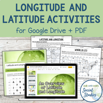
Latitude and Longitude Fun Activities and Practice Worksheet | Google Slideshow
If you are looking for a creative and no-prep resource to teach about latitude and longitude, look no further! This printable and digital activity includes an editable Google Slideshow to teach your students about latitude and longitude, and three different practice activities, giving your students the chance to decode secret messages, figure out mystery locations on a world map, and determine the coordinates of various US states.This resource goes beyond traditional longitude and latitude works
Grades:
5th - 8th
Types:
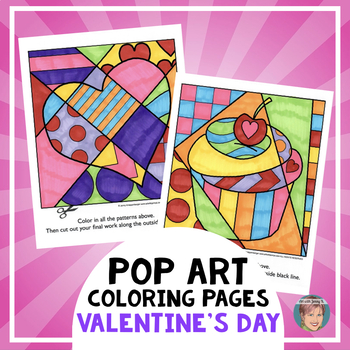
Fun Valentine's Day Activity: Valentine's Day Coloring Pages + Writing Prompts
Art with Jenny K. is the originator of these innovative, engaging, add-a-pattern "interactive" coloring sheets. This set of “Pop Art-style” coloring sheets features a variety of Valentine's Day images that make a great accompaniment to your Valentine's Day celebrations. There are 9 interactive pages and 6 pattern-filled pages included in this Valentine's Day activity–appropriate for all ages! ********** INCLUDED IN THIS RESOURCE **********9 Interactive Pop Art Coloring Pages for Valentine's DayH
Subjects:
Grades:
K - 9th
Types:
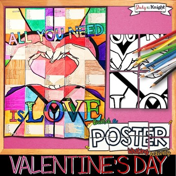
Valentine's Day Writing Activity, Poster, Group Project, Kindness, Friendship
This Valentine's Day writing activity poster is triple the fun with the combination of coloring, creativity, and group work! All inspired by love, friendship, and kindness in your classroom. Students will collaborate to assemble the 3.3h x 2.6w poster for your classroom wall, bulletin board, classroom door, hallway, lobby, or library. It is a show stopper. Watch students and staff stop and look...it is eye catching!
Great for any time of the year! Particularly during Valentine's Day. You can us
Grades:
2nd - 8th
Types:
Also included in: Reading and Writing Collaborative Posters Bundle
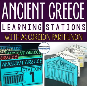
Ancient Greece Stations, Parthenon Accordion Book, Ancient Greece Activities
This resource contains six ancient Greece learning stations that students can rotate through in small groups. Each learning station (or center) is designed to give students engaging and exciting learning experiences to practice, enrich, review, and enhance their learning. Students will visit each station with a small group and complete ancient Greece activities. Here’s the fun part! During the learning stations, students will create an accordion book to showcase their learning. They’ll “build” f
Grades:
5th - 8th
Types:

Google Slide Templates - Seasons & Holidays Bundle with new Spring templates!
New Valentine's Day templates have been added! The Seasons and Holidays Bundle only houses all of my seasonal and holiday templates. The bundle is 50% off all seasonal slides.Seasons and Holidays Included:Daily Agenda Google Slides - Wildflower Spring (NEW! 4/02/23)Daily Agenda Google Slides - Original Spring TemplatesDaily Agenda Google Slides - St. Patrick's Day TemplatesDaily Agenda Google Slides - Summer TemplatesDaily Agenda Google Slides - Back to School TemplatesDaily Agenda Google Slides
Subjects:
Grades:
K - 12th
Types:
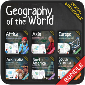
Geography of the World (Bundle)
Let’s learn about the Countries, Capitals and Geographic Features of the World! The World’s countries, capitals, geographic features, and attractions are addressed in these units with a wide variety of fun activities such as puzzles, crosswords, word searches, gap-fills and many others. GOOGLE SLIDES WITH PREMADE TEXTBOXES INCLUDED! The units also include additional map quizzes of different levels, maps, answer sheets and answer keys. BONUS: EXTRA REFLECTION MATERIALS THAT COVER ALL UNITS! You
Subjects:
Grades:
6th - 11th
Types:
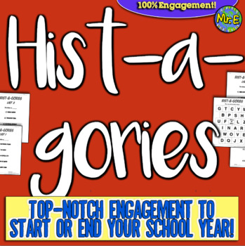
Histagories Trivia for Social Studies, US, and World History Activity
In this history review and conversation game, students are engaged with 8 short lists of information where they work with partners (or individually) to try to come up with answers based on the letter for the round. Included is a letter-choosing paper (students flip a coin and see where it lands!) plus 8 different lists geared toward History, Geography, Geology, and Social Studies themes! A condensed worksheet is also included to save space.Enjoy this fun way to spend the first few (or last few
Subjects:
Grades:
5th - 8th
Types:
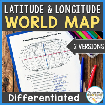
Latitude and Longitude Worksheet | Differentiated Activity | World Map
Do your students find latitude and longitude confusing? This resource will help make teaching this tricky skill a piece of cake! And, this resource comes with two differentiated versions to meet your students needs. Worksheet A has no labels, so students can practice identifying continents, oceans, and 2 (easily identifiable) countries as they follow the Latitude and Longitude coordinates! Worksheet B is similar, and perfect for ELL's or struggling learners! The map on this version is labeled, s
Subjects:
Grades:
4th - 8th
Types:
Also included in: Latitude and Longitude ACTIVITY BUNDLE!
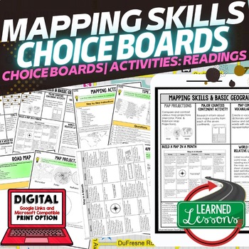
Geography Mapping Skills Activities, Geography Choice Board, Reading Passages
Mapping Skills and Basic Geography Choice Boards, Mapping Skills Readings Google Classroom, Print & Digital Learning provides differentiated activities to use with students to master the content. THIS IS ALSO PART OF SEVERAL BUNDLES World Geography MEGA BUNDLE AND World Geography Choice Board Activity BUNDLE AND Mapping Skills BUNDLE Choice Board Activities and Mapping Skills Readings Including the following: Mapping ActivityCartographerMap ScaleTypes of MapsTime ZonesRoad MapsLand and Wate
Grades:
7th - 12th
Types:
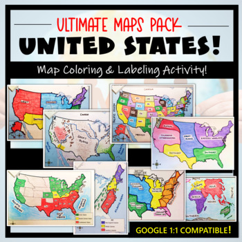
U.S. Maps & Geography- The Ultimate Label & Color Maps Pack! (American History)
This United States Ultimate Maps & Geography Pack includes eight different maps for your American History student explorers- Political Map, Physical Map, Native American Cultural Regions, 13 Colonies, Westward Expansion, 5 Regions, Civil War, and a World Map. These labeling and coloring activities are interactive, engaging, and ready to use- just print and copy! A Teacher’s Guide is provided, as well as options for use to fit your curriculum/lesson. You will also receive a completed, col
Grades:
3rd - 10th
Types:
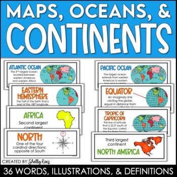
Continents and Oceans Maps and Posters | Geography and Maps Word Wall
Continents and Oceans and Map Skills can be fun to teach, especially when you have this great set of word wall cards. Each card includes the word, definition, and a clear, colorful illustration. Make a great bulletin board in just minutes!Click HERE to save 20% with the Continents, Oceans, and Map Skills BUNDLE!Please click on the PREVIEW above to get a clear picture of everything included.PERFECT for visually reinforcing landform vocabulary!This helpful continents, oceans, and maps word wall se
Grades:
2nd - 8th
Also included in: Maps, Continents and Oceans, Landforms, and Map Skills Bundle
World Geography Activities & Maps l Geography Worksheets l Where in the World?
One of our best sellers is now available in a bundle of 20 world geography activities and maps! Save big by buying them all at a discount.These versatile geography lessons are completely student-driven, fun, and interactive. Students create a physical map on a worksheet, labeling key features on the templates provided. Students play the Where in the World Scavenger Hunt printable clue game. Students guess the features by reading four description clues for differing geographical features of each
Grades:
4th - 9th
Types:
Showing 1-24 of 65,000+ results


