3,649 results
Test preparation geography resources on sale
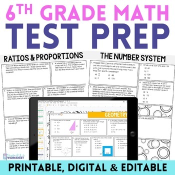
6th Grade Math Test Prep Bundle: Practice, Review, and Assess
Comprehensive 6th Grade Math Test Prep: Common Core Aligned - Multiple Formats Available⭐️⭐️⭐️ Maximize Test Performance with Our 6th Grade Math Test Prep Resource! This meticulously designed 19-page math test prep toolkit is tailored to help 6th graders excel in their upcoming math tests. Aligned with the Common Core Standards, it offers a blend of critical thinking and concept understanding over rote memorization.✅ Key Features of This Math Test Prep Resource:Comprehensive Preparation: Covers
Subjects:
Grades:
6th
Types:
Also included in: 6th Grade Math Curriculum Supplemental Activities Bundle
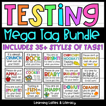
Testing Encouragement Candy Testing Gift Tags Motivational Testing Notes
If you love this bundle, you will also love my Summer Treat Tag Mega Bundle and my Back to School Treat Tag Mega Bundle!Check out the rest of my April, spring, and Easter resources!Check out my other Testing Related resources!Check out the rest of my End of School and Summer resources!Check out my other Back to School resources!You May Also Enjoy: Testing Treat Tags and Motivational NotesSMART Goal Setting BundleTesting Take Home Letter and Motivational NotesFREE Testing Door SignsDescription: T
Subjects:
Grades:
PreK - 12th, Higher Education, Adult Education, Staff
Types:
3rd Grade Math Massachusetts MCAS Printable DISTANCE LEARNING / TEST PREP PACKET
This printable packet can now also be assigned as a digital packet! Simply use the CREATE DIGITAL ACTIVITY link after your purchase, and your students will be able to complete this packet online. Great for distance learning!This packet contains 10-days of work for your students...4 questions per day. These questions cover the majority of the 3rd grade Massachusetts math standards. These can be used in a variety of ways. These were designed for use in 3rd grade to prepare kids for the MCAS a
Subjects:
Grades:
3rd - 4th
Types:
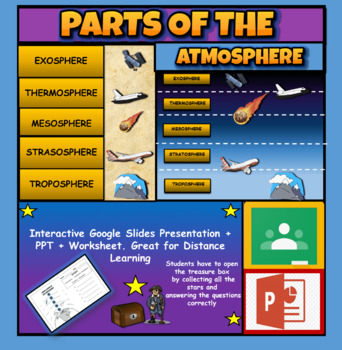
Layers Of The Atmosphere: Interactive Google Slides + PPT Version + Worksheet
Layers Of The Atmosphere: Interactive Google Slides + PPT + Worksheet (Distance Learning)Interactive presentation & quiz on Layers of the atmosphere. Please view the powerpoint previewINTERACTIVE GOOGLE SLIDES/POWER POINT PRESENTATION on layers of the atmosphere. It can be used for distance learning and google classroom or within the classroom.Once downloaded: Please view the GOOGLE SLIDES/POWERPOINT IN 'PRESENT ▶️' modeWorksheet also included in ZIP file 'Parts of the atmosphere' .These are
Subjects:
Grades:
3rd - 8th
Map Skills Book
Discover the world of map skills with this engaging book for students! This comprehensive resource covers essential topics such as the globe, map symbols, cardinal directions, United States map, classroom maps, home maps, and community maps. Dive into the exciting world of geography and navigation with this informative and enjoyable booklet.Check out some of my other ResourcesPumpkin DayTurkey DayHalloween Word ProblemsFollow meFacebookKathryn Loves Teaching BlogTeachers Pay TeachersThank you fo
Subjects:
Grades:
PreK - 2nd
Types:
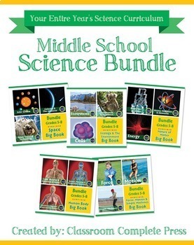
Middle School Science Bundle Gr. 5-8
This Middle School Science Bundle for grades 5-8 is your ENTIRE YEAR'S SCIENCE CURRICULUM in one bundle. Filled with HANDS-ON experiments, ENGAGING activities and COMPREHENSION questions that cover your State Standards, Next Generation Science Standards, and STEAM Initiatives. The activities in this bundle can be used for whole-group, small group, or individual work. NO PREP necessary, just print!This BUNDLE includes 850 pages and will provide you with an ENTIRE YEAR of Science lesson plans. A
Subjects:
Grades:
5th - 8th
Types:
NGSS:
MS-LS1-5
, MS-LS1-7
, MS-PS3-4
, 5-PS1-3
, 5-PS1-4
...
Elementary and Middle School Test Prep & Test Taking Strategies
Test taking strategies, procedures, and practice that teaches both teachers and students how prepare for testing all year long (OR right before testing)!--------------------------------------------------------------------------------------------------------♥You just have to see the preview! OVER 800 toolkits sold and LOVED!♥ ♥BONUS download included: My best-selling Moon Phases BINGO game to help with your test prep!♥-------------------------------------------------------------------------------
Grades:
4th - 7th
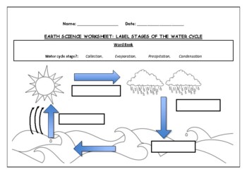
Earth Science worksheet: Label stages of the water cycle
Earth Science worksheet: Label stages of the water cycle2 VERSIONS OF WORKSHEET (Worksheet with a word bank & Worksheet with no word bank)Students have to label the stages of water cycle by looking at the diagram (Evaporation, Collection, Precipitation and Condensation)Students can color in the pictures they are doneWorksheet aimed at higher kindergarten/lower primary levelAnswer Key includedBoth PDF and Editable Word Versions included within the ZIP file
Subjects:
Grades:
K - 6th
Types:
Colonial America Activity for 13 Colonies; 13 Colonies Activities
13 Colonies {New England, Middle, Southern} Scavenger Hunt Activity: A content-rich and fun way to engage students and introduce your unit! ♥You have to see the preview! OVER 600 sold and LOVED!♥This is part of my Colonies BUNDLE {3 Activities!} Let intermediate-middle grade students get up and MOVE while you introduce them to Colonial America!! In this activity, they will complete a scavenger hunt to find important information about the 13 original colonies, the New England, Middle, and Souther
Grades:
4th - 7th
Types:
Also included in: 13 Colonies Activity BUNDLE for Colonial America
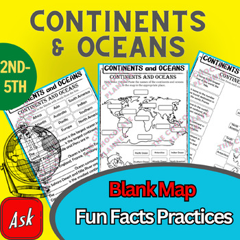
Continents And Oceans | Maps & Globes 7 Continets & Oceans | Facts Activities
Learning about continents and oceans on a map is a great way to engage students and help them remember all seven continents and major oceans in geography. This resource provides tons of practice on maps to help your kids identify the continents and oceans, as well as learn fun new information about each continent and ocean.The facts about continents and oceans are designed in different interactive formats to help your kids engage and have fun while completing them.As there are many questions reg
Subjects:
Grades:
2nd - 5th
Types:
Map Skills - Performance Tasks
Maps performance tasks! Here are two performance tasks that I created and used with my first grade students when we completed our unit. We actually did a practice run creating a map of our classroom early in the unit so they had experience doing something very similar to this. Updated with new BW graphics and fonts. Students get to name their own farm and playground to create the maps. They really did a great job with these and most were easily able to show Proficiency. For each map, I gave t
Subjects:
Grades:
1st - 2nd
Types:
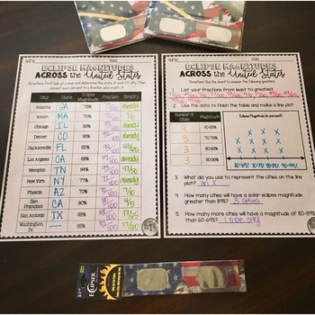
SOLAR ECLIPSE (MATH, SCIENCE, SS)
Are you looking for a fun activity way to teach about solar eclipses?! This will be perfect for you! This activity integrates Social Studies, Science, and MATH!August 2017 ECLIPSE MAGNITUDES: Across the United States- Students look at a map and determine the states of each city listed on the table.- Next, they convert each percent (magnitude) to a fraction.- Then they simplify the fractions to lowest terms.- Finally the students create a line plot using the percent data and answer questions!I al
Subjects:
Grades:
4th - 6th
Types:
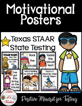
Texas STAAR Test Motivational Posters
State testing can be scary for students, use these cute motivational posters to boost your student's self confidence and to encourage them to do well on their tests.These can be hung around the classroom during the final push to prepare for state testing, or outside the classroom for encouragement on the day of the test.What's included:*10 testing motivational posters*5 BONUS reminders for testing posters**This set of motivational posters was created specifically for the Texas STAAR tests and th
Subjects:
Grades:
3rd - 12th
Types:
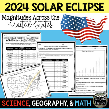
2024 SOLAR ECLIPSE MAGNITUDES ACROSS UNITED STATES - STATE CAPITALS
Are you looking for a fun activity on Solar Eclipse Day that is not busy work? This Solar Eclipse Activity integrates Science, Geography and MATH! Students handle REAL and RAW DATA about the magnitudes (for the April 8, 2024) for each state capital across the United States all while ... converting percents to fractionssimplifying fractionsordering fractionsmaking line plotsanalyzing datausing mapsreviewing state abbreviationsThis is geared towards 4th grade Math standards, but would make great p
Subjects:
Grades:
4th - 8th
Types:
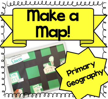
Let's Make a Map! {A Map-Making Activity for Primary Geography Unit}
Product Information: This is a simple, yet effective activity to teach students about maps. It is part of our Social Studies Geography unit. I print this printable, and give each student:-copy of labels (this printable)-a big piece of green construction paper-black strips to make roads-white squares to draw buildings and housesI introduce the lesson by:-showing real maps or online maps-talking about community and what our community looks like-brainstorming what places are by my houseThen the k
Grades:
K - 3rd
Types:
Also included in: Kindergarten Geography Bundle
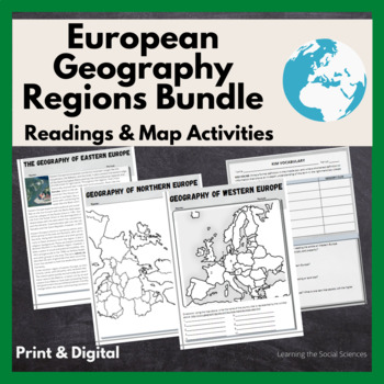
European Regional Geography Bundle Readings & Map Activities: Print & Digital
The readings explain the major geographical and cultural items of Northern, Eastern, Southern, and Western Europe.Each region comes with two map activities, one where they simply list the countries that are numbered on a map (used during distance learning) and another one where they color and label everything.The link to Google Versions is in the key section on the Microsoft Doc & PDF version.Multiple Editable Formats: I have it in multiple formats so you can utilize a version that works for
Grades:
7th - 12th
Types:
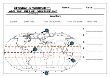
Geography worksheet: Label the lines of longitude and latitude
Geography worksheet: Label the lines of longitude and latitudeStudents have to label the lines of latitude and longitude with the correct names (Equator, South Pole, Tropic of Capricorn, Tropic of Cancer, North Pole)Worksheet aimed at primary level/ high school levelStudent can color in the world map when they are finishedAnswer key included on second page.
Subjects:
Grades:
2nd - 7th
Types:
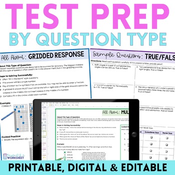
Math Test Prep
Do your students struggle with answering certain types of test questions? This review resource has you covered! What is Included?A two page per question style review to help students learn HOW to read and solve each type of problem. Included for each question type is a checklist, example problem, guided practice problem and a page of independent practice problems. A PDF with two pages per question style - one page with steps to answer, an example and a guided practice problem and one page with s
Subjects:
Grades:
5th - 9th
Types:
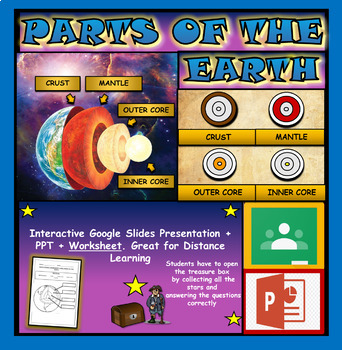
Layers and Parts of the Earth Powerpoint: Crust | Mantle | Inner and Outer Core
Layers of the Earth: Parts Of The Earth Interactive Google Slides + Powerpoint + Printable WorksheetInteractive presentation & quiz on parts of the Earth. Please view the video and PDF preview to get a better understanding of this product.INTERACTIVE GOOGLE SLIDES/POWER POINT PRESENTATION on layers of the Earth. It can be used for distance learning and google classroom or within the classroom.Once downloaded: Please view the GOOGLE SLIDES/POWERPOINT IN 'PRESENT ▶️' modeWorksheet also include
Subjects:
Grades:
3rd - 6th
Types:
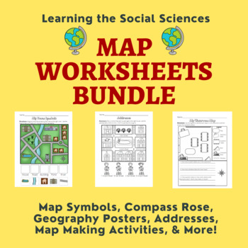
Map Skills Bundle: Symbols, Compass Rose, Globe, Maps, & More
This growing bundle (landforms still to come!!!) contains 50 worksheets, a printable book, geography posters, and a PDF book on maps! Plenty of resources to help you teach about maps!Items from the Map Worksheets Product:Map symbols cut and paste (or drag and drop)Neighborhood streets coloring & writing sheetColor items on the write streetCut and paste symbols & street namesIdentify items using street names (2 different worksheets)Draw a line to help the student get homeColor the house
Grades:
K - 1st
Types:
Middle School World Continents Bundle Gr. 5-8
This Middle School World Continents Bundle for grades 5-8 is your ENTIRE YEAR'S WORLD CONTINENTS CURRICULUM in one bundle. Filled with EXTENSIVE reading passages, ENGAGING activities, and FULL COLOR maps, and COMPREHENSION questions that cover your State Standards, and written to Bloom's Taxonomy. The activities in this bundle can be used for whole-group, small group, or individual work. NO PREP necessary, just print!This BUNDLE includes 420 pages and will provide you with an ENTIRE YEAR of Wor
Grades:
5th - 8th
Types:
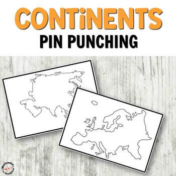
Montessori inspired continents push pin (pin poking) cards
CONTINENTS PUSH PIN CARDSThese cards are perfect for incorporating into a Continents study or activity. They are great for practicing writing skills and pencil grip. Children can use these cards to either trace the images, or use a push pin to cut out the shapes on the cards. INCLUDES:7 Color Continents Cards with border 7 Black and White Continents Cards with border7 Color Continents Cards full page, no border 7 Black and White Continents Cards full page, no border MORE PIN POKING PRINTABLESWea
Subjects:
Grades:
PreK - K
Types:
Also included in: Pin Poking Bundle for Montessori Activities or Fine Motor Centers
Europe Gr. 5-8
Journey to the ancient centers of culture and trade with a trip to Europe. About this Resource: Understand the variety of ecosystems that inhabit the continent with a climate map. Gain a sense of direction by identifying the European cities that are found in the western and eastern hemispheres. Do some research into the famed Thames river and find out how long it is, which countries it passes through, and into which large body of water it flows into. Learn about the accident at Chernobyl and wha
Grades:
5th - 8th
Types:
Also included in: Middle School World Continents Bundle Gr. 5-8
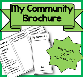
My Community Brochure!
Product Information: This is a printable brochure to supplement any Community Unit or lesson. For this brochure, students will need to research the following facts about their community:PopulationYear foundedRestaurants, shopping, attractionsSchools, libraries, parksRural, Suburban, UrbanNatural features (lake, mountains, river, etc.)3 unique facts about their communityStudents can draw, write facts or cut out pictures to fill their brochure. Creativity is encouraged! It can be used as homewor
Subjects:
Grades:
2nd - 5th
Types:
Showing 1-24 of 3,649 results


