42,269 results
Geography microsofts for administrators
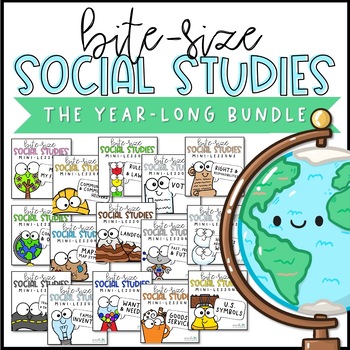
Social Studies Lessons | PowerPoint & Google Slides | BUNDLE
It's so hard to squeeze dedicated social studies lessons into our already jam-packed schedules. These short, no-prep, paperless mini-lessons will help you facilitate deep conversations about important topics. Bite-Size Social Studies is perfect for distance learning or remote learning. A paperless, no-prep, narrated version of these lessons will be added, so even the youngest students can learn independently. Send the files home via your chosen platform (Google Classroom, SeeSaw, etc).Each slide
Subjects:
Grades:
K - 3rd
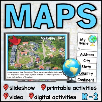
Map Skills Unit with Slideshow– Me on the Map – Maps and Globes - with Digital
This map skills unit for K-2 has all you need to teach your students about maps and globes. With an informational map skills PowerPoint slideshow (also included in video form), vocabulary resources, printable activities and books, and digital activities for Seesaw and Google Slides, this set will get your little geographers making, reading, and talking all about maps! Perfect to use alongside the read-aloud Me on the Map, this maps unit includes an easy-to-assemble “My Home” booklet with version
Subjects:
Grades:
K - 1st
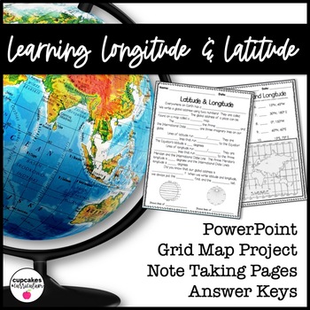
Latitude & Longitude Worksheet for Latitude & Longitude Practice with PowerPoint
This interactive Social Studies lesson engages your students in note-taking of important concepts and lets them use their creativity to show what they have learned!▁▁▁▁▁▁▁▁▁▁▁▁▁▁▁▁▁▁▁▁▁▁▁▁▁▁▁▁▁▁▁▁▁▁▁▁▁▁WHAT IS INCLUDED IN THIS RESOURCE?⇨ 10-page PowerPoint Presentation: Show a vibrant Powerpoint to your students to introduce concepts like longitude, latitude, grid map, coordinates, Prime Meridian, International Dateline, and Equator. ⇨ Accompanying Worksheets: As you engage them in this powerp
Grades:
2nd - 5th
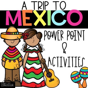
Trip to Mexico Power Point and Activities Pack | Cinco De Mayo Activities
Have a great time learning about Mexico with this fun Power Point and Activities Pack. Both PowerPoint and Google Slides versions are included. It's the perfect activity during Cinco De Mayo, the last week of school, or for some Friday fun! Your class will be introduced to the geography, language, culture, and food in Mexico. The PowerPoint is packed with colorful, real photos. And a variety of activities are included to help your students reflect on what they've learned. Be sure to read the tip
Subjects:
Grades:
K - 6th
"Trip to Hawaii" Power Point & Activities Pack!
This makes for such a fantastic end of year activity! You'll have a great time learning about Hawaii with this fun Power Point and Activities Packet with your students. Read about how I take my class on this exciting adventure below....Check out other products like this!Trip to Mexico BundleTrip to Australia BundleTrip to South AmericaFREE World Travel Student PassportIncluded in this pack... (check out the preview file for a sneak peek!)-47 slide power point on Hawaii where you learn about -
Subjects:
Grades:
K - 6th
Continents Bundle - A PowerPoint/Google Trip to the 7 Continents
Learn about the Seven Continents! Take a journey around the world without ever leaving your classroom with these stunning PowerPoint and Google Slides presentations. This set of 8 PowerPoint/Google Slides presentations uses real photographs to give your students a peek into the amazing continents of the world.Each presentation has a map, weather, animals, homes, important cities, landmarks, and a short three-question quiz.This bundle includes {for PowerPoint and Google Slides}Let's Learn About A
Grades:
K - 2nd
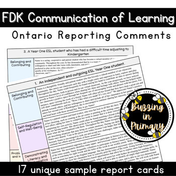
Ontario Kindergarten Report Card Comments (Communication of Learning Comments)
Ease your mind while completing Kindergarten Communication of Learning reports (for the Ontario reporting system) with this document of 17 full Kindergarten COL samples applicable to Year One and Year Two students in Ontario FDK classrooms. Each sample report card table includes comments from all four frames (Belonging and Contributing, Self-Regulation and Well-Being, Demonstrating Literacy and Mathematics Behaviours, and Problem Solving and Innovating), in the three-step model (strengths, growt
Grades:
PreK - K
Virtual Field Trip to the Grand Canyon for Geology Science
Virtual Field Trip to the Grand Canyon!Not able to take any trips this fall? Go there virtually! Engaging, no matter the format of instruction, your students will be hooked! Use them as a preview to any science unit OR have the class work towards the reward of 'Field Trip Friday'! NO PREP WORK FOR YOU! Trip is designed for grade K - 5, I included multiple options for certain slides, easy to differentiate, just delete any slides that don't fit your grade level!W H A T ' S I N C L U D E D ?⭐️ Teac
Subjects:
Grades:
K - 5th
Types:
NGSS:
4-ESS1-1
, 3-ESS2-1
, 2-ESS1-1
, 4-ESS2-1
Also included in: THE COMPLETE COLLECTION! Every product in my TPT store - growing bundle!
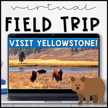
Virtual Field Trip Yellowstone National Park in the Spring
Virtual Field Trip to Yellowstone! Visit America's first national park!NO PREP! Just 'share your screen' and present the slides & videos. ☺Trip is designed for grade K - 5, easy to differentiate based on how many videos you play.GREAT FOR: socially distanced learning, science and social studies supplemental lesson, NO PREP sub plans or as a Fun Friday/Field Trip Friday classroom reward to work towards!!W H A T ' S I N C L U D E D ?⭐️ Teacher directions⭐️ PowerPoint & Google Slides includ
Subjects:
Grades:
K - 5th
Types:
NGSS:
4-LS1-1
, 3-LS4-3
, 2-LS4-1
, 1-LS3-1
Also included in: THE COMPLETE COLLECTION! Every product in my TPT store - growing bundle!
Countries Unit Bundle, Cultures Around the World
Powerpoint lessons and projects for 5 countries around the world. Study culture and geography with these easy social studies lessons!See a short video of all the projects HERE **For personal and single classroom use only. If using with multiple classrooms, please purchase additional licenses at a reduced rate.**...........................................................................................................................*FREE Reading Skills Poster Set for newsletter subscribers SIGN
Subjects:
Grades:
1st - 4th
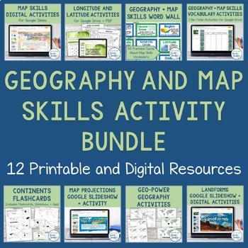
Geography + Map Skills Bundle | Maps, Continents and Oceans, Latitude Longitude
This epic bundle includes 12 different essential geography resources to help your students develop map skills and a sense of geographic awareness! The printable and digital resources in this bundle cover topics like latitude and longitude, continents, oceans, countries, map key, map projections, map distortion, landforms, and a lot more!Save over 30% by purchasing this bundle!The 12 resources included in this bundle include:Map Skills Digital Activity + Overview SlideshowLatitude and Longitude A
Grades:
5th - 8th
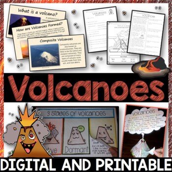
Volcanoes Complete Pack - Printables, Editable PowerPoint, Interactive Notebooks
This Volcano Unit is exploding with a variety of printables, Diagrams, Interactive notebooks, and a 100% editable PowerPoint.*Also includes digital access via Google Slides.What’s included in the pack: (Answer keys are included.) • PowerPoint Review Sheet• Volcanoes Reading Comprehension• Label the parts of a volcano • Volcano Labeled Diagram • 3 Stages of a Volcano Poster (8.5” x 11”) – Active, Dormant, and Extinct• Cinder Cone, Composite, and Shield Volcanoes Posters (1 of each)• Types of Volc
Subjects:
Grades:
3rd - 6th
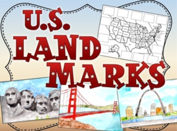
United States US Landmarks Lesson and Activity
U.S. Landmarks, Use this fun 15-slide Power Point and cut and paste activity to expose your students to 12 United States landmarks. The slides feature hand painted artwork and information about each landmark. After viewing, students cut out pictures of the landmarks and glue them in the correct places on the map. Print out the first two slides for the map activity.Landmarks:Mt RushmoreThe Grand CanyonThe Space NeedleNiagara FallsThe Statue of LibertyThe Lincoln MemorialCape CanaveralDenaliThe
Grades:
1st - 4th
First and Last Day of School Picture Frames - PreK - Senior - 2023-24
2023-2024 First and Last Day of School Picture Frames that can be used for both Distance Learning and In-Person! The frames are a PowerPoint slide and include PreK - Senior Year templates. JUST ADDED: PRE K-3 , HEAD START AND TRANSITIONAL KINDERGARTEN! You can personalize the frame by adding your school name and up to 2 pictures (first and last day of school) BONUS: It includes step-by-step directions on how to insert the picture, how to print, and how to save the frame as a jpeg file for em
Grades:
PreK - 12th
Types:
Simply Social Studies First Grade - Unit 5 - On the Map
****SIMPLY SOCIAL STUDIES - FIRST GRADE ****
Unit 5 - On the Map
What is Simply Social Studies all about?
Simply Social Studies is a Social Studies curriculum that covers grade appropriate concepts and objectives for First Grade. (Kindergarten is also available and can be found HERE).
What's included in this unit of Simply Social Studies?
This unit of Simply Social Studies includes detailed lesson plans with ELA and Math extensions & suggestions, book suggestions, craftivities, anchor c
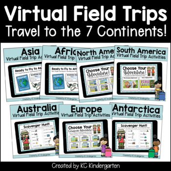
7 Continents Virtual Field Trips Bundle
This BUNDLE includes 7 Virtual field Trips for your students, one to each of the 7 continents! Look at the previews for more detailed information about what each virtual experience includes!What Are You Purchasing? When you purchase and download this product, you will receive PDFs with clickable link to each Google Slides™ presentation. Once you click on each link, you will be directed to make a copy of the presentation in Google Slides™. You will also receive a printable scavenger hunt page as
Subjects:
Grades:
PreK - 3rd
Types:
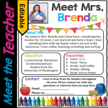
Welcome Letter, Meet the Teacher Template EDITABLE, Supply List | Back to School
Welcome students and parents Back to school with a welcome letter, Meet the Teacher page, and get students prepared with a Supply List! This is a PowerPoint and Google Slide. Make a great first impression on the parents and students in your class! This welcome letter and meet the teacher page is designed for Pre-k, Preschool, TK, Kindergarten through Grade 5.Do grab this Open House Scavenger Hunt for FREEAlso check these Name Crowns with kids look-a-like faces. Kids will be very happy to make t
Grades:
PreK - 5th
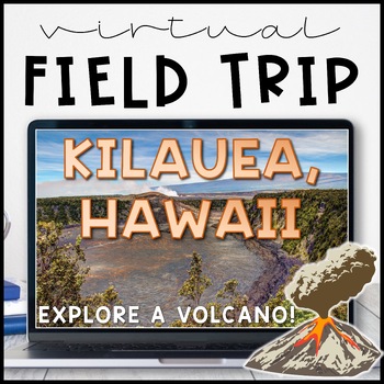
Volcano Virtual Field Trip Kilauea, Hawaii for Landforms
Visit one of the most active volcanoes in the world on the Big Island of Hawai'i! Pairs great with a landform, volcano or earth and space sciences unit.Perfect for socially distanced learning or online meetings!NO PREP! Just 'share your screen' and present the slides. ☺Trip is aimed at a 3rd grade level but works well for K - 5. I included multiple closing activity suggestions, pick one that is an appropriate level for your grade! Or, edit the text and add your own.W H A T ' S I N C L U D E D ?⭐
Subjects:
Grades:
1st - 5th
Also included in: THE COMPLETE COLLECTION! Every product in my TPT store - growing bundle!
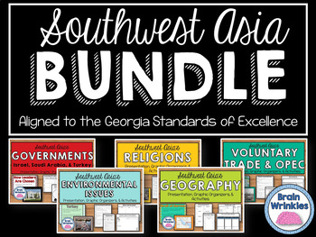
Southwest Asia (Middle East) Unit BUNDLE
This bundle contains the following Southwest Asia resource pack files – Geography of Southwest Asia, Environmental Issues, Where People Live and Work, Ethnic Groups, Prominent Religions, Governments: Israel, Saudi Arabia, and Turkey, Economies: Israel, Saudi Arabia, and Turkey, Voluntary Trade and OPEC, Factors of Economic Growth, Distribution of oil in SW Asia, Continuing Conflicts in the Middle East, Creation of Israel, and U.S. Presence in the Middle East. There are over 830 pages of notes,
Grades:
7th
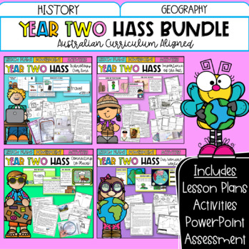
Year Two HASS Bundle | Australian Curriculum | History & Geography
This bundle includes all of your Year Two HASS planning for the entire year! These four units explore technology over time, important places, geographical skills and more! Featuring detailed lesson plans, PowerPoint slides, activity sheets and optional assessment; it has everything you need!What's included?Technology Over TimeTechnology Over Time PowerPoint 120 + slides.Vocabulary warm-up slidesActivity slides linked to each lesson plan. 10 x Detailed Lesson Plans: Includes learning intentions.D
Grades:
1st - 3rd
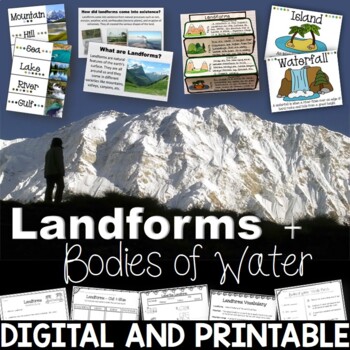
Landforms & Bodies of Water Bundle| Printables, PowerPoint, Interactive Notebook
This landforms pack will engage your students in learning about 19 different landforms / bodies of water. There are Posters, Word Wall Cards, “What am I” cards, Printables, Interactive notebook, and a 100% Editable PowerPoint. *Also includes digital access via Google Slides.Landforms included in this unit: Mountain, Hill, Valley, Plain, Island, Sand Dune, Peninsula, Canyon, Delta, Plateau, Mesa, Ocean, Sea, Lake, River, Gulf, Canal, Glacier, and WaterfallAnswer Keys are included.• PowerPoint Rev
Subjects:
Grades:
2nd - 5th
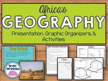
Geography of Africa (SS7G1)
This file is a resource pack about the major physical features in Africa: the Sahara, Sahel, savanna, tropical rain forest, Congo River, Niger River, Nile River, Lake Victoria, Great Rift Valley, Mt. Kilimanjaro, Atlas Mountains, and Kalahari Desert (as outlined by the Georgia Standard of Excellence – SS7G1). This lesson includes a presentation with important facts about the features and where they are located, as well as colorful images. There is also a graphic organizer for note-taking during
Grades:
7th
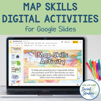
Map Skills Digital Activity and Overview Slideshow | Map Skills Middle School
If you are looking for map skills activities that you can use digitally, you are in the right place! This resource includes both a Map Skills Slideshow with information about different components of maps and a no-prep Map Skills Activity for Google Slides. All of the information is presented in an organized, colorful, and easy-to-understand way for your students.This Map Skills Google Classroom resource includes the following:Teacher Guide (PDF)Map Skills Overview Slideshow (Google Slideshow wit
Grades:
5th - 8th
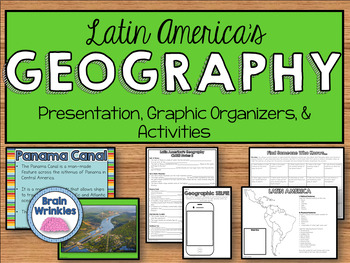
Geography of Latin America: Physical Features (SS6G1)
This file is a resource pack about the major physical features in Latin America: Amazon River, Amazon Rainforest, Caribbean Sea, Gulf of Mexico, Atlantic Ocean, Pacific Ocean, Panama Canal, Andes Mountains, Sierra Madre Mountains, and Atacama Desert (as outlined by the Georgia Standard of Excellence – SS6G1). This lesson includes a presentation with important facts about the features and where they are located, as well as colorful images. There are also several creative and interactive activitie
Subjects:
Grades:
6th
Also included in: Latin America BUNDLE
Showing 1-24 of 42,269 results

