5,013 results
5th grade geography lessons
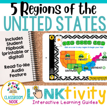
5 Regions of the United States LINKtivity® (Geography, Climate, Landforms, MORE)
Take your students on an exciting virtual road trip through the five regions of the United States with our digital LINKtivity® Interactive Learning guide! Our interactive guide offers a fun and engaging way for students to explore each region's climate, landforms, bodies of water, and popular tourist destinations.Designed for upper elementary classrooms, our easy-to-navigate digital guide requires minimal teacher prep and is entirely student-controlled, allowing for self-paced learning. With a v
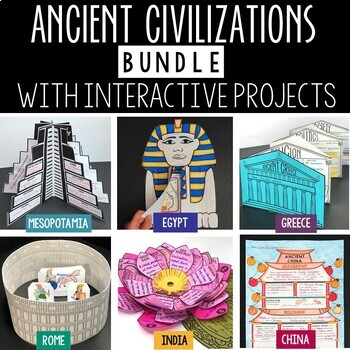
Ancient Civilizations Lessons, Activities, and Projects - Ancient History
This Ancient Civilizations Bundle includes 6 resources for teaching Mesopotamia, Ancient Egypt, Ancient China, Ancient India, Ancient Greece and Ancient Rome. Each resource includes learning activities to help students learn about each civilization’s geography, religion, achievements, politics, economy, and society. Designed to be engaging and interactive, these resources will make learning fun and exciting! Here’s a quick overview of each of the Ancient Civilization Resources: Ancient Mesopotam
Grades:
4th - 7th
Types:
CCSS:
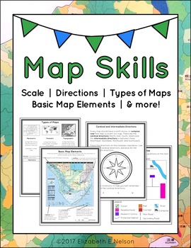
Map Skills Package
This package contains a variety of handouts, worksheets, a lesson idea, and an activity to help teach students map skills such as scale, cardinal and intermediate directions, types of maps (planimetric, thematic, topographic), and basic map elements (legend, title etc.)
Contents
Welcome
Teaching Guide (3 pages)
Latitude, Longitude, and Directions: The Orange Lesson
Latitude Labeling Worksheet Option 1 (label)
Latitude Labeling Worksheet Option 2 (trace)
Cardinal and Intermediate Directions Han
Grades:
3rd - 6th
Types:
Also included in: Map Skills Bundle: activities, worksheets, crafts, posters + more
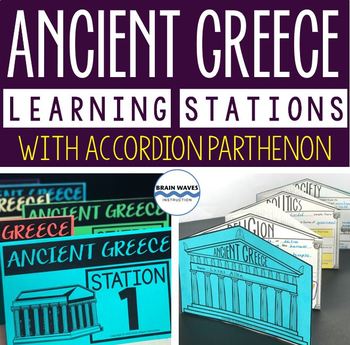
Ancient Greece Stations, Parthenon Accordion Book, Ancient Greece Activities
This resource contains six ancient Greece learning stations that students can rotate through in small groups. Each learning station (or center) is designed to give students engaging and exciting learning experiences to practice, enrich, review, and enhance their learning. Students will visit each station with a small group and complete ancient Greece activities. Here’s the fun part! During the learning stations, students will create an accordion book to showcase their learning. They’ll “build” f
Grades:
5th - 8th
Types:
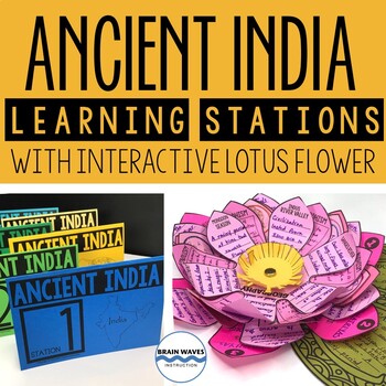
Ancient India Unit with Learning Stations and Interactive Project
This resource contains six ancient India learning stations that students can rotate through in small groups. Each learning station (or ancient history learning center) is designed to give students engaging and exciting learning experiences to practice, enrich, review, and enhance their learning. Students will visit each station with a small group and complete tasks and assignments. Check this out! Students will create a 3-D interactive lotus flower filled with their learning. They’ll add inform
Grades:
4th - 7th
Types:
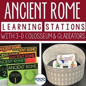
Ancient Rome Learning Stations 3-D Colosseum Gladiators Rome Activities
This resource contains six ancient Rome learning stations that students can rotate through in small groups. Each ancient Rome learning station (or center) is designed to give students engaging and exciting learning experiences to practice, enrich, review, and enhance their learning. Students will visit each station with a small group and complete tasks and assignments. Here’s the fun part! After students complete each ancient Rome activity at the learning stations, they’ll turn their work into
Grades:
4th - 7th
Types:
My Place in the World Project: "Me on the Map" Geography for Kids
This hands-on geography project "My Place in the World" has kids create a visual representation of how we fit into the world. Teachers often use it with the kids' geography book "Me on the Map," by Joan Sweeney. Ideal for integrated Social Studies, ELA, Geography, Literacy, and Map Skills.Using a series of nesting circles to show the relative sizes of different geographic places, this simple but effective geography lesson helps kids sort out their relation to one another. This activity includes
Grades:
K - 5th
Also included in: Geography for Kids Bundle: Three Essential Hands-on Activities
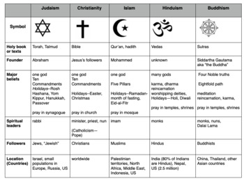
Compare World Religions Chart --Judaism, Christianity, Islam, Hinduism, Buddhism
This is a chart I use with my students to compare five major world religions-- Judaism, Christianity, Islam, Hinduism and Buddhism. It is meant to have the students learn the basics and be able to know the major aspects of all the religions. I included a blank copy and a completed version. In my social studies textbooks, there is quite a bit of info about each of these religions. This can also be done this as a group jigsaw activity. Feel free to edit it to suits your needs. Let me know if
Subjects:
Grades:
5th - 10th
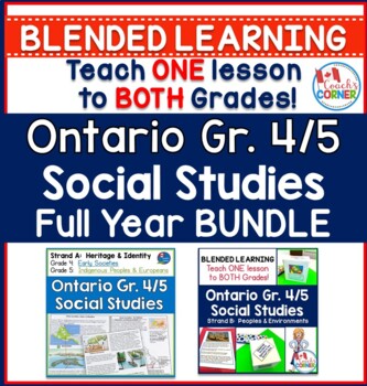
Ontario Grade 4/5 Social Studies PRINTABLE BUNDLE
Teaching a split grade classroom can be challenging, but social studies doesn't have to be! Check out this Grade 4/5 Social Studies Bundle, written to meet the expectations of the 2018 Ontario Curriculum. This full-year unit contains tons of engaging activities for your students, and it allows you to teach just ONE lesson to BOTH grades, using the big ideas of the curriculum.****PLEASE NOTE: This bundle is also available in digital format. Check it out here:Ontario Grade 4/5 Social Studies Full
Subjects:
Grades:
4th - 5th
Types:
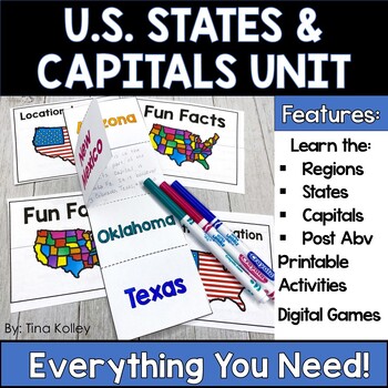
US States and Capitals - 50 States and Capitals - Regions of the US Unit
Learning the 50 states and their capitals is so important for our students! This unit makes it fun and engaging by breaking the United States into smaller regions and scaffolding up into the entire 50 states. Using games, flashcards, maps, and quizzes, your students will love the fun, and you will love the independence and print-and-go format!Included in this unit:Learn to Spell State NamesState Placement on a USA Map - by region and the entire USANames of Capital CitiesPostal AbbreviationsGames
Grades:
4th - 6th
Types:
Ohio Social Studies Pack Grade 5
New for Fall 2023: All four units are editable on Google docs.This pack is full of nonfiction articles, student projects, and fun to make your Ohio fifth grade Social Studies class more interesting for students!Geography (Over 150 pages total)Map-making and map skills (centers included)Latitude and Longitude and how it affects climateRegions of the United States -- my full regions pack that I sell separately is included! (NEW-- digital activities to teach about Mexico, the USA, Dominican Repub
Grades:
5th
Also included in: Ohio Social Studies Pack BUNDLE for Grades 3-5
What is Culture? 5-E Intro Lesson | FUN Cultural Traits Activity | Google
This fun, intro lesson challenges your class to explore what culture means and ways cultures vary worldwide. The activities are engaging for students & the guided, 5-E format is easy for you to use! Begin with a fun “What in the World?” warm-up activity featuring Manu Martian, an alien who has crash-landed and is utterly confused. Examine culture and cultural traits through his observations of Earthlings, then introduce key vocabulary and concepts. Fill-in notes accompany the lesson. Next, s
Grades:
5th - 12th
CCSS:
Classify the Five Themes of Geography 5E Lesson | 5 Theme WalkAround | Microsoft
This lesson challenges students to identify, classify & explain the 5 themes of geography using real-world examples. The activities are engaging for students & the guided, 5-E format is easy for you to use! Begin with a fun “Picture It” warm-up activity. Then, introduce each of the five themes & practice applying the concepts. Fill-in notes & practice activities accompany the lesson. A “GSI: Geography Scene Investigation” challenges students to classify 16 colorful images by them
Subjects:
Grades:
4th - 10th
Types:
Continents, Oceans, & Map Skills UNIT- Reading Passages, Lapbook, PowerPt, Test!
Teach the seven continents and five oceans with this 3-4 week, no-prep, full unit on the Continents & Oceans with a side of Map Skills! With this unit, you will receive complete lesson plans, a student workbook with informational text and reading comprehension tasks, an accompanying interactive notebook (activity lapbook), a PowerPoint for teacher-guided instruction, and an end-of-unit assessment. The student workbook and PowerPoint presentation are Google 1:1 compatible. Reading and liter
Grades:
3rd - 5th
Intro to Economy FUN 5-E Unit BUNDLE | Free Market Economics | Microsoft
Build or enrich your curriculum with this engaging Intro to Economy BUNDLE! The guided lessons are FUN for students & the 5-E teaching model is EASY for you to use! Each resource includes a Teacher Guide to ensure success in your classroom! Print & interactive, digital versions of the materials are included. Made for traditional in-class learning or digital 1:1 classrooms. Everything you need is included!Includes Microsoft Resources: Digital & Print5 Guided 5-E PowerPoint Lessons4 Fi
Grades:
5th - 12th
Types:
Geography: Push and Pull Factors on Human Migration (Includes lesson, PP & Game)
This lesson is easy enough for 5th graders to understand yet works well with students up to grade 12. Modifications can be made as needed. Students need to understand the differences between human migration, emigration, and immigration as well as the push and pull factors that influence migration. This lesson includes:°Introduction to get students thinking°Encourages brainstorming with graphic organizers°An interactive PowerPoint addressing: migration, immigration, emigration, push and pull fact
Grades:
5th - 12th
Also included in: BUNDLE FOR ALICE
US United States Physical Geography Google Earth Scavenger Hunt Digital Resource
Google Earth US Physical Geography Lesson Set, Exploration & Scavenger HuntStart the year in US history unit with a fun, student-centered, inquiry-based Google Geography Exploration and Scavenger Hunt! This comprehensive Google United States Geography lesson has been both student and teacher-approved with an overwhelming thumbs-up! It embodies all of the cool geography capabilities of Google Maps and Google Earth in a digital US geography interactive notebook format complete with a Google F
Subjects:
Grades:
4th - 10th
Types:
13 Colonies: Comparing Regions - New England, Middle, & Southern Colonies
13 Colonies: Comparing the Regions – New England, Middle & Southern ColoniesThis lesson teaches how the three regions of the 13 Colonies differed from one another: New England, the Middle Colonies, and the Southern Colonies. Students will learn how the climate and geography of the three colonial regions impacted the economic as well as the social lives of colonists in the three regions of the 13 Colonies. Students will learn how the New England colonists had to look to different types of rev
Subjects:
Grades:
5th - 11th
Also included in: Early US History Bundle: 1492 - Civil War
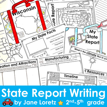
State Report Writing - research template - 50 states
The Ultimate State Report Template: A Comprehensive Resource for Engaging State Research!Engage your students in a captivating state research project with this state report template. This interactive booklet is designed to make the learning experience fun and informative for your students.The template includes 13 pages filled with thoughtfully curated sections that encourage students to dive deep into their chosen state's history, geography, wildlife, and more. Students will have the opportunity
Grades:
2nd - 5th
Types:
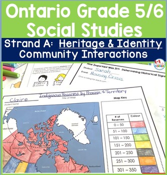
Ontario Grade 5 and 6 Social Studies | Strand A Heritage and Identity Unit
Ontario Grade 5/6 teachers, it IS possible to teach social studies in your split-grade class without losing your mind! This Strand A Heritage and Identity resource is a blended unit, meaning that it has been carefully created to blend the key expectations of the 2023 Ontario Social Studies Curriculum so that teachers are able to teach one lesson to both grades. Full of engaging activities and complete lesson plans, this unit will have your students will enjoying learning about different types
Grades:
5th - 6th
Also included in: Ontario Grade 5/6 Social Studies PRINTABLE BUNDLE
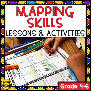
Map Skills Unit and Creative Mapping Activity
Review mapping skills while getting to know your students through these geography lessons and a cumulative art project that uses map skills. Your planning is done for the next few weeks as your students work and you can even create a beautiful bulletin board for your classroom at the same time.This easy to use product includes:introductory lessons on titles, landforms, map labels, cardinal and intermediate directions, the compass rose, relative location, reading a legend, scale, equator, Prime M
Subjects:
Grades:
3rd - 6th
Types:
Also included in: Alberta Social Studies Bundle Grade 4
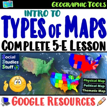
Types of Maps 5-E Lesson and WalkAround | Geography Skills Practice | Google
This engaging 5-E lesson covers parts of a map, types of maps, and reading maps The activities are engaging for students & the guided, 5-E format is easy for you to use! Begin with a fun “Create a Map” warm-up activity to help them visualize the big ideas. Then, introduce vocabulary & practice applying the concepts with a “Name that Map” activity. Fill-in notes accompany the lesson. Next, a “GSI: Geography Scene Investigation” challenges students to identify types of maps, then examine t
Subjects:
Grades:
4th - 8th
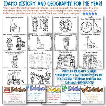
✩Idaho History and Geography for the YEAR! HUGE!!✩ CCSS Integration! Top Rated.
✩✩✩LIFETIME UPDATES!✩✩✩IDAHO HISTORY & GEOGRAPHY FOR THE ENTIRE YEAR! Meets all of Idaho Content Standards, Social Studies, Fourth GradeWith CCSS Science, Reading, Writing, ELA, and Math Integration! Teacher Tool Kit with Every Section.Top Reviews: See all reviews on the listing page. Here's one example: This is easily the most comprehensive Idaho History & Geography file I've ever seen. It's worth every single penny and truly brings Idaho's History/Geography to life. My students LOVED o
Subjects:
Grades:
3rd - 5th
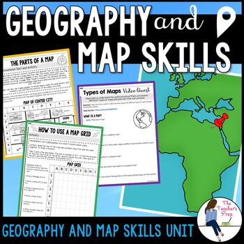
Geography and Map Skills Activities
Engage your students in learning the fundamental basic tools of geography and map skills with these no-prep printable activities! Students will learn about the parts of a map, how to use cardinal directions, how to use a map grid, how to use a map scale and the characteristics of different types of maps! The start of a new school year is the perfect time to teach students mapping skills or refresh their memories on skills they've learned in the past! These activities require no prep - just print
Subjects:
Grades:
4th - 6th
Types:
CCSS:
Also included in: Geography and Map Skills Unit Bundle
Showing 1-24 of 5,013 results


