1,427 results
6th grade geography bulletin board ideas
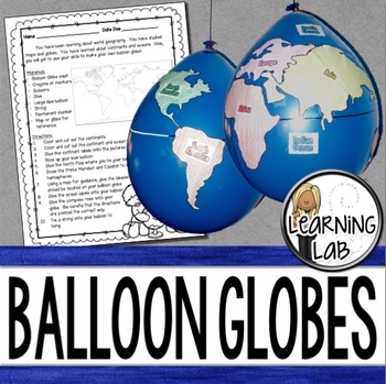
Geography - Balloon Globes - World Maps
World Geography can be boring for students but you can make it FUN! Your kiddos will LOVE creating their own globe using a balloon and cut-outs.This set includes: Student materials list and directions, detailed continent shapes, more broad continent shapes (easier cutting), compass graphic, continent labels, ocean labels, North Pole labels, reference map of the world. Balloon Suggestion (affiliate link): 12"latex balloons (100 count), Royal BlueDon't want to use a balloon? Some teachers hav
Subjects:
Grades:
3rd - 6th
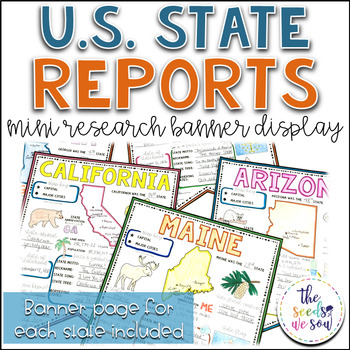
State Report Research and Banner Display Project
If you're looking for an alternative way for your students to research and report on states in the U.S., then look no further. These research banners are not only engaging and educational, they are also visually appealing and provide a great classroom/hallway display.This set includes:● 50 visually appealing state banners● 50 state banners with writing lines (and state flag)● 50 blank state banners for student creativity● Teacher lesson plan page (includes research web sites)● Student recording
Grades:
5th - 8th
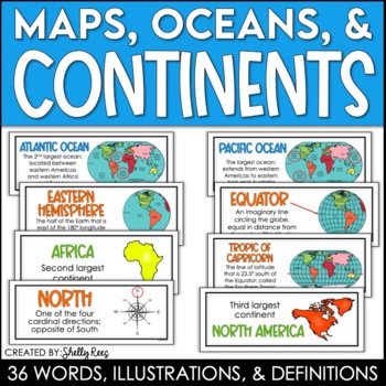
Continents and Oceans Maps and Posters | Geography and Maps Word Wall
Continents and Oceans and Map Skills can be fun to teach, especially when you have this great set of word wall cards. Each card includes the word, definition, and a clear, colorful illustration. Make a great bulletin board in just minutes!Click HERE to save 20% with the Continents, Oceans, and Map Skills BUNDLE!Please click on the PREVIEW above to get a clear picture of everything included.PERFECT for visually reinforcing landform vocabulary!This helpful continents, oceans, and maps word wall se
Grades:
2nd - 8th
Also included in: Maps, Continents and Oceans, Landforms, and Map Skills Bundle
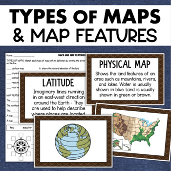
Types of Maps Map Features Skills Geography Posters Social Studies Assessment
Students will learn about different types of maps and common map features with this social studies resource. It includes 17 visuals/posters plus a worksheet/assessment.MAPS POSTERSThese can be kept together as a single page or cut apart into separate cards for display or a matching activity. The top of each card has the title and definition, and the bottom has a full-color illustration. WORKSHEETThis activity requires students to match the types of maps to their purpose, know the function of var
Subjects:
Grades:
3rd - 6th
Types:
Also included in: Geography Landforms & Bodies of Water Types of Maps Map Elements Posters
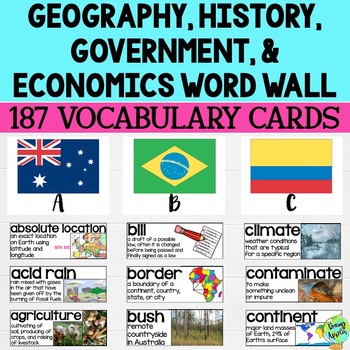
Social Studies Word Wall Vocabulary Cards, Bulletin Board Idea
This product is a word wall to help teach important social studies vocabulary words to students. It can also be used as a social studies bulletin board!The specific regions included are Europe, Australia, Latin America and the Caribbean, and Canada. However, the domains include geography, government, economy, and history, so this resource can be used in most social studies classrooms. Also, many terms are not specific to these regions and can be applied broadly.Each word card includes the vocabu
Grades:
3rd - 11th
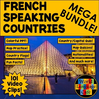
FRANCOPHONE COUNTRIES FRENCH SPEAKING COUNTRIES ⭐ Videos PPT Google Maps Quizzes
Do you struggle to make Francophone countries culture come alive? Want to bring your students on virtual field trips to all the major French speaking countries without ever leaving your classroom? Want to convince even your most reluctant learners to speak French so they can visit all these beautiful places? This is a whole year of Francophone culture. Hours of lesson plans including 101 Francophone countries video clips, colorful photos, facts, nationality practice, flashcards, a research pr
Subjects:
Grades:
2nd - 12th
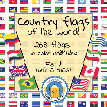
Country flags of the world: 263 Country flags - clip art bundle (1052 clips!)
Country flags of the world: 263 Country flags. HUGE clip art BUNDLE!
This clip art contains 263 flags, in 2 forms (flat and with mast) in color and black & white line art.
Contains all the flags of the countries of the world : 195 Countries.
Look at the complete list of flags by downloading the preview
A total of 1052 clips!
Included:
263 color flag (flat) clip art flag set- PNG format
263 B&W flag (flat) clip art set- PNG format
263 color flag (with mast) clip art set- PNG format
Grades:
PreK - 12th, Higher Education, Adult Education
Map Skills: Latitude and Longitude
Geography is such an abstract and difficult concept for students, but it is important that they begin to orient themselves as they read, learn and discover more about the world around them. This set has helped my classes make the abstract more concrete.
-Vocabulary Foldable (pages 3-4)
-Vocabulary Cards and picture cards (pages 5-8)
-CLOSE Read about Longitude and Latitude
-An adapted Craftivity (pages 9-12)
-Written Reflection (differentiated) (pages 13-14)
-Performance Task/ Group Challenge
Grades:
3rd - 7th
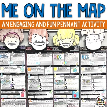
Me On the Map Activities
As you begin to work on map skills and geography this year, this me on a map activity is a fun way to help your students understand their place in this world. These pennants are the perfect way to integrate social studies, geography, literacy, and fun with the celebration of the uniqueness of each student. As students complete this fun activity they will show that there is only one special "Me" in the universe. Celebrate each child as being special and unique as they share about their place in
Grades:
2nd - 6th
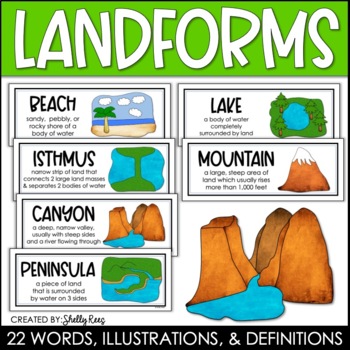
Landforms and Bodies of Water Posters and Word Wall
Landforms and bodies of water can be fun and easy to teach, especially when you have this beautiful set of word wall cards. Each card includes the word, definition, and a clear, colorful illustration. EASILY make an amazing landforms wall display in minutes!Click HERE to save 20% with the Continents, Oceans, Maps, and Landforms BUNDLE!Please click on the PREVIEW above to get a clear picture of everything included.This complete landform word wall set includes 22 vocabulary posters:basinbaybeachca
Grades:
3rd - 6th
Also included in: Maps, Continents and Oceans, Landforms, and Map Skills Bundle
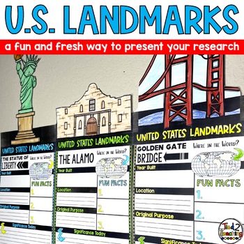
United States US Landmarks Research Report Template Project Report Writing
Introducing our captivating "United States Landmarks Research Report Pennant Banners"! Designed to elevate your classroom experience, this comprehensive set features 15 visually stunning pennants that will showcase your students' landmark research projects in a remarkable way. From coast to coast, these pennants showcase iconic landmarks from around the United States, providing an engaging and educational tool that seamlessly integrates with your social studies curriculum. With these pennants, y
Subjects:
Grades:
3rd - 6th
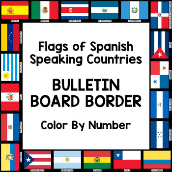
Flags of Spanish-Speaking Countries Bulletin Board Border
Decorate your classroom bulletin boards with these colorful flag borders. Your students will enjoy learning about the 21 flags of the Spanish-speaking world as they follow a color by number key to color in each section of the flags. Only five colors are needed: rojo, amarillo, verde, azul cielo, and azul (red, yellow, green, sky blue, and blue). This is a great activity when learning about the 21 Spanish-speaking countries, Hispanic culture, holidays, or colors.
Includes:
- A set of 3 color by
Subjects:
Grades:
K - 10th
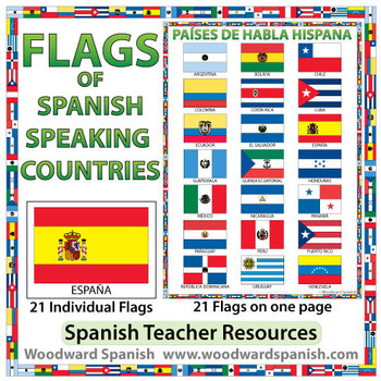
Flags of Spanish-speaking Countries
Flags of the 21 Spanish-speaking countries.
These flags are perfect for decorating the Spanish classroom. You may also want to laminate the flags and use them as large flashcards.
There are 21 individual flags of the following Spanish-speaking countries: Argentina, Bolivia, Chile, Colombia, Costa Rica, Cuba, Ecuador, El Salvador, España, Guatemala, Guinea Ecuatorial, Honduras, México, Nicaragua, Panamá, Paraguay, Perú, Puerto Rico, República Dominicana, Uruguay, Venezuela.
Each flag is on its
Subjects:
Grades:
1st - 12th, Adult Education
Also included in: Spanish Bundle – Spanish-speaking Countries and Capitals
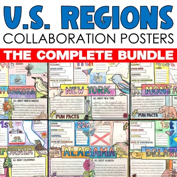
Regions of the US United States Regions Activities Collaborative Poster Projects
Regions of the United States Research Collaborative Posters let students work together to display their learning about each of the 50 states in the regions across the United States. Collaborative research poster activities are so much fun because they combine group work, with creativity, color and so much fun! This collaborative U.S. regions social studies project includes 50 state collaborative research poster activities that can be displayed separately or placed together to form a large colla
Subjects:
Grades:
3rd - 7th
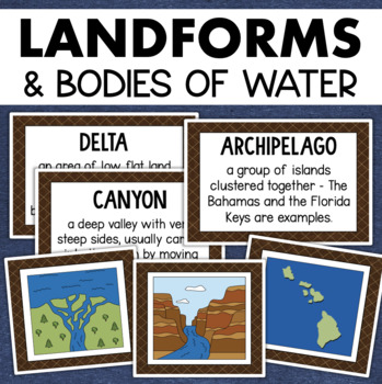
Landforms and Bodies of Water Posters Geography Skills Vocabulary Worksheet
Give your landforms and bodies of water unit a visual boost with this set of illustrated examples! Students will get to SEE what each landform or water body looks like and better understand their features.WHAT YOU WILL GETThis resource contains 24 visuals plus a digital assessment. Each page includes an illustration of the landform or body of water along with the title and definition. Includes:archipelagobaybeachbuttecanalcanyoncavecliffdeltaduneglacierhillislandisthmuslakemesamountainoceanpenin
Grades:
4th - 7th
Also included in: Geography Landforms & Bodies of Water Types of Maps Map Elements Posters
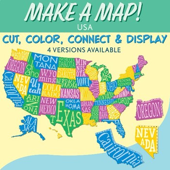
Interactive Bulletin Board United States Map Activity
Transform your classroom into a vibrant learning space with this Interactive Bulletin Board United States Map Activity. This engaging project invites students to actively participate in constructing a colossal wall map of the USA, fostering a collaborative and hands-on approach to learning United States geography. Assign each student a state and watch as the United States comes together, state by state, on your bulletin board! The finished map is an impressive 73 inches in length and 55 inches i
Grades:
4th - 7th
Also included in: USA Geography MEGA Bundle
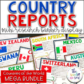
Country Report Research Banner Display Bundle
If you're looking for an alternative way for your students to research and report on all the countries of the world, then look no further! These research banners are not only engaging and educational, they are also visually appealing and provide a great classroom/hallway display.This set includes all countries of the world plus other recognized independent states/countries. Check the product previews above to see everything included in this MEGA BUNDLE!Here's what you'll receive: ● Visually appe
Grades:
4th - 8th
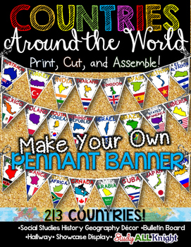
Countries Around the World Classroom Decor Make Your Own Pennant Banner
Worldwide Countries Classroom Decor Make Your Own Pennant BannerGrades K-12 social studies, history, geography, Model UN, global studies, world history Celebrate our world! Teachers can decorate their classrooms, hallway, gymnasium, media center, or anywhere in their building. You'll get 213 pennants to choose from. Pick pennants that represent your student's heritage, ethnicities, backgrounds, ancestry. They are colorful and awesome to look at. The countries pennant will bring enthusiasm and un
Grades:
PreK - 12th, Higher Education, Adult Education, Staff
Also included in: English Teacher Activities and Fun Bundle
Social Studies Mega Bulletin Board Bundle
This Mega Bundle includes ALL of my best-selling Social Studies Bulletin Boards!"Be an Upstander" Interactive Bulletin BoardThis resource is appropriate for middle and high school students. 30 cards are included in this resource including terminology (stereotypes, prejudice, discrimination, bystander, upstander, change agent, implicit bias), 12 quote/task cards from upstanders in history, and more!An instruction sheet with teaching tips and "Upstander Response Cards" are also included in this re
Subjects:
Grades:
6th - 12th, Higher Education, Staff
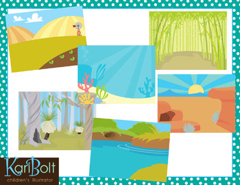
Habitats and Landscapes Clip Art Scenes
25 different habitats in color and black and white. 11x8.5" each (NOTE-preview file is reduced 50% to be able to show all scenes in color and black and white).
WHAT YOU GET IN THIS SET
• Antarctica • Asian Mountains • Australian Bush • Bamboo Forest • Beach
• Farm • Desert • Jungle • Mountains • Ocean • Park • Pine Forest • Pond
• Prairie • Rainforest • River • Rugged Mountains • Sand • African Savannah
• Cypress Swamp • Winter Field • Woods • Woods with a Cave • Zoo
• Tropical Beach
========
Subjects:
Grades:
PreK - 6th
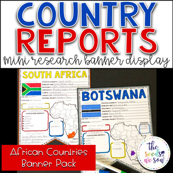
Country Report Research Display: Countries of Africa
If you're looking for an alternative way for your students to research and report on countries of the world, then look no further. These research banners are not only engaging and educational, they are also visually appealing and provide a great classroom/hallway display.This set only includes countries of the African continent (The total number of independent states in Africa is 54). See the list of countries below.Here's what you'll receive: ● 54 visually appealing country banners ● 54 countr
Grades:
5th - 8th
Also included in: Country Report Research Banner Display Bundle
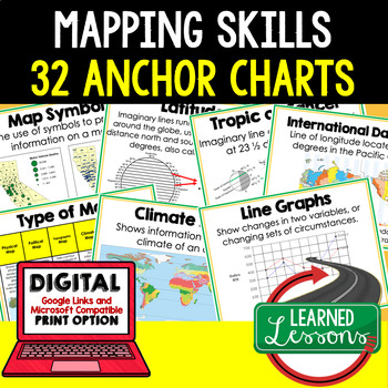
Mapping Skills Anchor Charts (World Geography Anchor Charts), Posters, Google
Mapping Skills Anchor Charts (Great as Bellringers, Word Walls, and Concept Boards), Mapping Skills Posters, Geography Review Pages, Digital Activity via Google Classroom This bundle will take your through the entire Geography curriculum. It will include all components of Geography. This is perfect for traveling around the world in style. THIS IS ALSO PART OF World Geography MEGA BUNDLE, Mapping Skills BUNDLE, Geography ANCHOR CHART BUNDLE Anchor charts are great for representing the topics
Grades:
6th - 12th
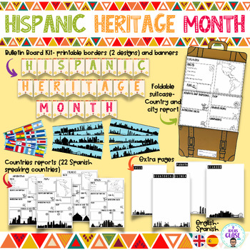
Hispanic heritage month- Hispanic countries-Spanish speaking countries bilingual
Celebrate Hispanic history month with this resource. It is a fantastic opportunity for students to quickly learn a little bit about Spanish speaking countries.The resource includes: Foldable suitcase- country report/ country study. With this suitcase, students will be able to research about a Spanish speaking country or a city.Country reports. 22 reports are included. The students will be able to include the most important data of these countries. Each worksheet includes the skyline of the capit
Subjects:
Grades:
4th - 6th
Also included in: World Geography Bundle- Country research projects
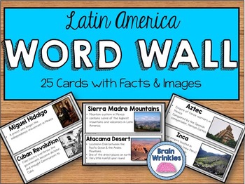
Latin America Word Wall
These word wall cards are the perfect way for your students to familiarize themselves with important vocabulary words from the Latin America Unit (as outlined by the Georgia Performance Standards: SS6G1, SS6G2, SS6H1, SS6H2, and SS6H3). Please see the preview file for a complete list of the words included. The cards include the vocabulary term, important facts, and images. Just print out the cards, laminate them, and tape them to you wall and you are good to go!
Included in this file:
~Georgia
Grades:
6th
Showing 1-24 of 1,427 results


