3,028 results
1st grade geography resources $5-10
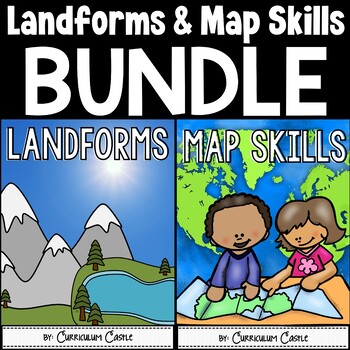
Landforms & Map Skills Unit BUNDLE
Make learning about geography come to life with this landforms and map skills bundle unit for young learners! Your students will have the opportunity to explore the landforms that shape our Earth, as well as beginning map skills. This bundle contains a variety of printables, projects, crafts, and much more. Also available in...Landforms and Map Skills DIGITAL BundleLandforms and Map Skills PRINT & DIGITAL Mega BundleLANDFORMS pack includes:Recommended book list Landforms posters (landform, b
Grades:
1st - 3rd
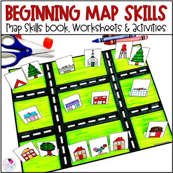
Map Skills Worksheets Book Lapbook - Reading a Map, Cardinal Directions, Compass
Are you looking for an engaging first grade map skills resource to add to your social studies curriculum? This engaging resource is what you need to teach mapping skills like cardinal directions, compass rose, and map skills. Students will love the map skills books and the hands-on build a town map. Finally, students can demonstrate their learning with the final map skills lapbook. Use this resource for:first gradesecond gradewhole class instructionsmall group instructionpartner workStudents wi
Subjects:
Grades:
K - 2nd
Types:
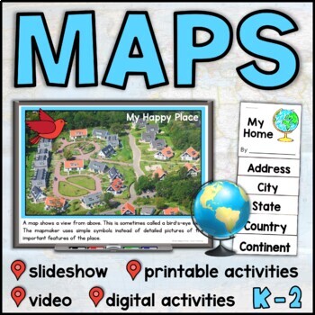
Map Skills Unit with Slideshow– Me on the Map – Maps and Globes - with Digital
This map skills unit for K-2 has all you need to teach your students about maps and globes. With an informational map skills PowerPoint slideshow (also included in video form), vocabulary resources, printable activities and books, and digital activities for Seesaw and Google Slides, this set will get your little geographers making, reading, and talking all about maps! Perfect to use alongside the read-aloud Me on the Map, this maps unit includes an easy-to-assemble “My Home” booklet with version
Subjects:
Grades:
K - 1st
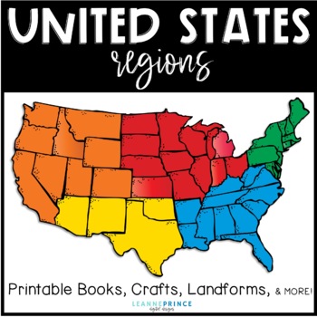
United States Regions {Fun activities for teaching about US Regions!}
This pack is over 100 pages of regions of the United States fun!!! The five regions included are the Northeast, Southeast, Midwest, Southwest, and West. For each united states region, I've included an interactive book filled with lots of information, a word search, craft, different writing activities to go along with the craft, and a colorful map of the region. Also included in this pack are a few different pre/posts tests, landforms of the U.S. posters with picture and definition, and a state/r
Subjects:
Grades:
1st - 4th
Types:
Trip to Mexico Power Point and Activities Pack | Cinco De Mayo Activities
Have a great time learning about Mexico with this fun Power Point and Activities Pack. Both PowerPoint and Google Slides versions are included. It's the perfect activity during Cinco De Mayo, the last week of school, or for some Friday fun! Your class will be introduced to the geography, language, culture, and food in Mexico. The PowerPoint is packed with colorful, real photos. And a variety of activities are included to help your students reflect on what they've learned. Be sure to read the tip
Subjects:
Grades:
K - 6th
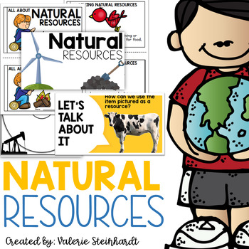
Natural Resources
Complete natural resource unit! Anchor charts with pictures and definitions, thinking maps, folables, interactive notebook pieces, and a mini reader! Included in this set:-Anchor charts and posters-Circle maps-Tree map picture sort-Interactive notebook piece-Man-made or nature made foldable-A mini book for students to create from what they have learned!Updated and added summer of 2022- - 20 slide instructional PowerPoint AND an emergent reader!This unit will make a great addition to your Science
Subjects:
Grades:
K - 3rd
Planet Earth - Earth Day Activities - Using Maps and Globes - Science - Reading
This comprehensive, standards-based unit teaches your kindergarten and first grade students all about planet Earth. Children love learning about our place in the solar system, an overview of our planet, how to use a map and a globe, where we live in the world (address, city/town, country and continent), how to take care of the Earth, how to reduce, reuse, recycle and compost.... plus so much more!Students are incredibly engaged:watching and learning through a slideshowmaking an Earth Day craft
Subjects:
Grades:
K - 2nd
"Trip to Hawaii" Power Point & Activities Pack!
This makes for such a fantastic end of year activity! You'll have a great time learning about Hawaii with this fun Power Point and Activities Packet with your students. Read about how I take my class on this exciting adventure below....Check out other products like this!Trip to Mexico BundleTrip to Australia BundleTrip to South AmericaFREE World Travel Student PassportIncluded in this pack... (check out the preview file for a sneak peek!)-47 slide power point on Hawaii where you learn about -
Subjects:
Grades:
K - 6th
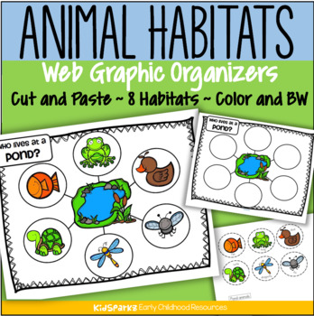
Animal Habitats Cut and Paste 8 Biomes Web Graphic Organizer Low Prep
Children create 8 animal habitat web graphic organizers by cutting and pasting 6 typical animals onto a habitat mat background.There are 8 habitats/environments represented: ForestRainforestFarmOcean PondDesert ArcticAfrican SavannaClick on the PREVIEW link to see most pages.Each habitat activity includes 4 pages:a web graphic organizer page, in color and b/w a page with 6 labeled animals to cut and paste, in colorand a page with 6 labeled animals to cut and paste, in b/wChoose either the pages
Subjects:
Grades:
PreK - 2nd
Types:
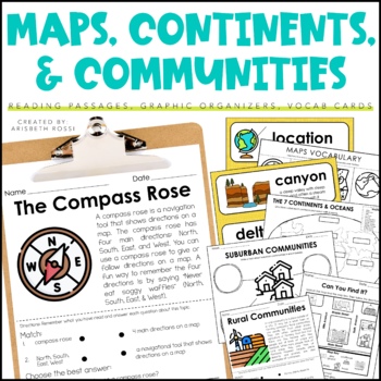
Maps and Globes - 7 Continents and Oceans- Landforms Map Skills Activity
This interactive and engaging resource will help your students learn all about Map Skills, Globes, Continents, Landforms, and Communities! These Map Skills activities will not only have your students learning the importance of locating on places on maps and globes, they’ll also be learning about constructing and reading a simple map, using cardinal directions and identifying map symbols. Lastly, they'll also compare and contrast basic land use in urban, suburban, and rural environments.This Maps
Grades:
1st - 3rd
Types:
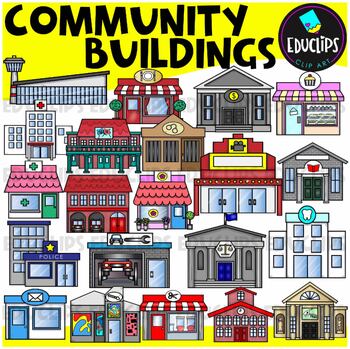
Community Buildings Clip Art Set {Educlips Clipart}
This is a set of buildings commonly found in the community. The buildings included in this set are: airportbakerybankcourthousedentistfirehousefloristgalleryhospitaljaillibrarymovie theatermuseumpharmacy or medical centerpolice stationpost officerepair shoprestaurantsalonschooltheaterThis set contains all of the images shown.42 images. (21 images in color and the same 21 images in B&W.)This set has been completely updated on 6/11/23Images saved at 300dpi in PNG files.For personal or commerci
Subjects:
Grades:
PreK - 6th
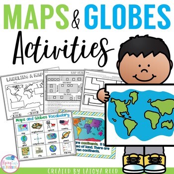
Maps and Globes
Maps and GlobesThis is the perfect unit for your teaching on Maps, Globes, and Where We Live. I have packed some great resources in this unit!!!You will get a 2 PAGE FREEBIE when you download the preview!!!Download the preview to see every page in the unit!!!!Table of ContentsPg. 2-13 Posters for teaching and vocabularyPg. 14 Vocabulary ChartPg. 15-18 word wall cards, write the room cards, etcPg 19 write the room recording sheetPg 20 What is a Globe? Mini bookPg 21 What is a map? Mini bookPg 2
Grades:
K - 2nd
Types:
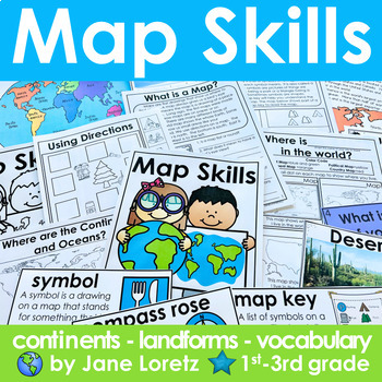
Map Skills 2nd grade 3rd grade worksheets, continents, vocabulary, landforms
This unit has everything you need for a great unit to teach map skills, vocabulary, continents, and landforms. This unit was written and used with first, second and third graders.What is included….MAP SKILLS-A 12 page no prep packet to help your students understand basic map skills. A cover is included so all you need to do is copy and staple. This pack would be great for distance learning, easy enough so students can do this independently. This pack includes these concepts…-What is a globe?-Wh
Subjects:
Grades:
1st - 3rd
Types:
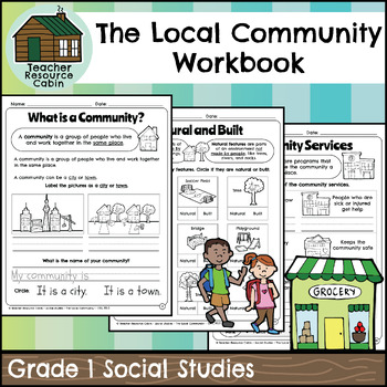
The Local Community Workbook (Grade 1 Social Studies)
This workbook covers the Grade 1 The Local Community unit in the NEW 2023 Ontario Social Studies curriculum (People and Environments).The workbook covers various topics related to the local community, including traditional territory, natural and built features, community history, community services, emergency services, waste management, green spaces, natural resources, shopping, cultural centres, Indigenous Friendship Centres, libraries, postal service, recreation, and more.There is a variety of
Grades:
1st
Also included in: Grade 1 Ontario Social Studies Workbook Bundle
Culture, Family Traditions, Celebrations Social Studies Unit
This comprehensive packet is aligned with the national social studies standards. It includes the topics of customs, traditions, family, culture, celebrations, heroes, and legends. The packet is organized in a low prep and easy to use printable format. Packet Includes:♥ Cover Page♥ Table of Contents♥ Product Information♥ Lesson Plans♥ Vocabulary Cards♥ Instructional Posters♥ INCLUDED! Culture and Family Traditions a Primary Grades FLIP Book♥ Mini Fill In The Blank Book♥ Interactive Notebook Activ
Subjects:
Grades:
1st - 2nd
Types:
Also included in: Social Studies Curriculum & Units Bundle for 1st and 2nd Grades
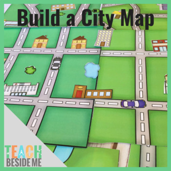
Build a City Map
This fun printable set is 15 pages long and includes 5 different map pages (each in color and black and white). It also includes 2 pages of buildings, cars, trees, and ponds to use to build and customize your maps. These are also included in color and black and white.
Subjects:
Grades:
PreK - 3rd
Types:
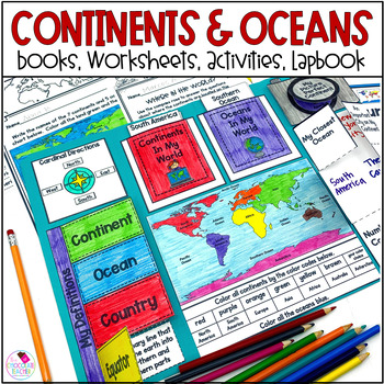
Continents and Oceans 1st & 2nd Grade Social Studies 3D Map, Lapbook, Worksheets
Do you need an engaging social studies resource to teach your students about the seven continents and five oceans? This easy-to-use resource includes everything you need to help your students learn about the world's continents and oceans.A variety of activities will keep your students engaged. These include vocabulary cards, books, worksheets, a 3D student map, a mapping lapbook, and a writing activity.This resource is part of a money-saving BUNDLE. Click to save 20% by purchasing the BUNDLE.Use
Subjects:
Grades:
K - 2nd
Types:
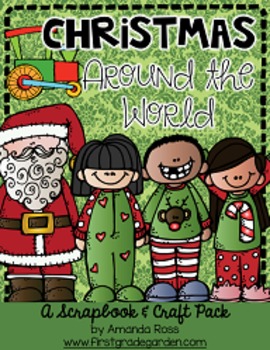
Christmas Around the World Scrapbook & Craft Pack
**Updated Sept. 9/16 -- pack is now 156 pages with 20 countries, including other winter holidays such as Kwanzaa, Diwali, and Hanukkah.**Updated Dec. 12/16 -- added an editable version of the scrapbook page so you may add your own countries. I will not be adding any more countries to the pack.**Updated Dec. 26/16 -- added an editable sticker page template. Just change the text boxes and add your own clipart.Board the Polar Express with us to travel to each continent to learn about Christmas trad
Grades:
K - 3rd
Also included in: Christmas Around the World Bundle
Countries Unit Bundle, Cultures Around the World
Powerpoint lessons and projects for 5 countries around the world. Study culture and geography with these easy social studies lessons!See a short video of all the projects HERE **For personal and single classroom use only. If using with multiple classrooms, please purchase additional licenses at a reduced rate.**...........................................................................................................................*FREE Reading Skills Poster Set for newsletter subscribers SIGN
Subjects:
Grades:
1st - 4th
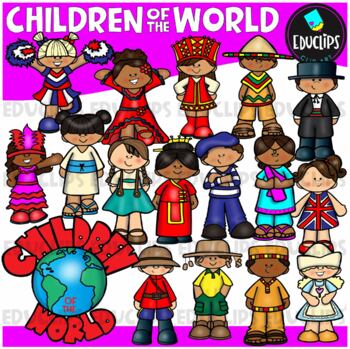
Children Of The World Clip Art Set {Educlips Clipart}
A collection of Children from different parts of the world: Africa, Brazil, Canada, USA, Germany, China, Holland, France, India, Italy, Japan, UK, Russia, Spain, Mexico and a 'Children Of The World' sign.These cartoon-like children are dressed in clothes that have some connection to their countries. This set has been designed for younger elementary children to give a brief, fun and colorful representation of each country.This is just a general set of images of children around the world. New imag
Grades:
PreK - 2nd, Staff
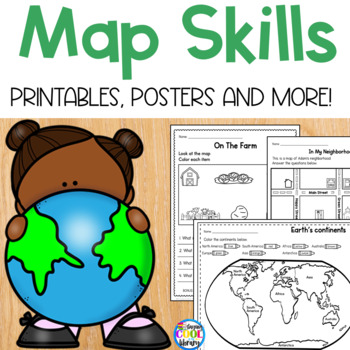
Map Skills - Worksheets and Printables
Teach beginning map skills and geography with these engaging worksheets and activities. Students will learn about cardinal directions, map symbols and map keys. Also basic geography including identifying land and water and labeling the continents and oceans. Students will also get to practice their learning by creating their own simple map. Bonus: flip book, vocabulary posters and word wall cards.Key map skills covered:Identifying north, south, east and west Practice identifying an address Ident
Subjects:
Grades:
K - 1st
Types:
Also included in: Library Skills Print MEGA Bundle
Zoo Clip Art Set {Educlips Clipart}
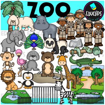
This is a set of zoo images.This set conatains all of the images shown on the product cover as well as B&W versions.The images in this set are:brown bearflamingopolar bearelephantpeacocksea lionpandasnakemonkeylionzebrapenguingiraffecrocodilerockenclosurescagetreezoo entrancezookeepersrailings58 images (29 in color and the same 29 in B&WThis set has been fully updated. All of the older images are included in this download.This set contains all of the images shown.Images saved at 300dpi i
Subjects:
Grades:
PreK - 6th, Staff
Biomes And Landforms Backgrounds 1 Clip Art Set {Educlips Clipart}
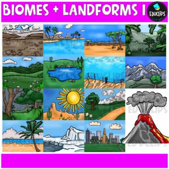
This is a collection of biomes and landform images.Scenes include: Arctic, beach, city, countryside, desert, forest, mountains, ocean, pond, prairie, rainforest, savanna, tropics, tundra, and volcano.CLICK HERE FOR BIOMES AND LANDFORMS 230 images (15 in color and the same 15 in B&W)Images saved at 300dpi in PNG files.For personal or commercial use.CLICK HERE for TERMS OF USEThis is a zip file. Before purchasing, please check that you are able to open zip files and ensure that your zip openin
Subjects:
Grades:
PreK - 6th, Staff
Christmas Around the World Interactive Slideshow or Informational Text
This is a companion pack to my best-selling "Christmas Around the World Scrapbook & Craft Pack".**Updated Sept. 12/16 -- slideshow is now 87 pages with 20 countries, including other winter holidays such as Kwanzaa, Diwali, and Hanukkah.**Updated Dec. 12/16 -- added an editable version of the slideshow pages so you may add your own countries. I will not be adding any more countries to the pack.**Updated Nov. 30/20 -- added a folder with separate PowerPoints for each country, to help with dist
Grades:
K - 3rd
Types:
Also included in: Christmas Around the World Bundle
Showing 1-24 of 3,028 results

