4,290 results
2nd grade geography resources $5-10
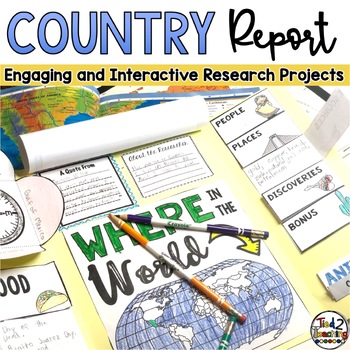
Country Study Report & Country Research Projects Countries Around the World
Are you working on a country study in your classroom? Completing a country research project for one of the many amazing countries around the world can be such a great way to open your students eyes to the diversity of countries, peoples, and cultures around the world. This fun, fresh and engaging country report resource is the perfect DIFFERENTIATED way to meet each student where they are and guide them as they present their research on countries around the world. Complete with 32 countries from
Grades:
2nd - 5th
Types:
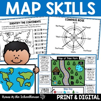
Map Skills Activities and Worksheets Maps Globes Landforms Continents & Oceans
Make learning fun for your students when teaching map skills. Map skills topics include maps, globes, continents, oceans, landforms, water forms, suburban, urban, rural, directions, and more. This resource is perfect for second, third, and fourth grade students. Digital activity included using Easel by TpT.These activities can be used during whole group instruction, independent work, and center time. Easy-to-use activity sheets with clear directions and answer keys are provided.HERE'S WHAT YOU'L
Grades:
2nd - 4th
Types:
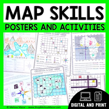
Map Skills Unit - Maps & Globes Activities - Types of Maps
This no-prep map skills unit includes both vocabulary reference posters and activity pages on many different topics. These activities are an engaging way for students to develop their skills and practice reading maps. *UPDATE* You can now share this with your students digitally!This resource was created using Google Slides. You must have a Google email for use. Each section can be assigned in Google Classrooms. It is ideal for distance learning. I also include the print file so you can have a
Grades:
2nd - 4th
Types:
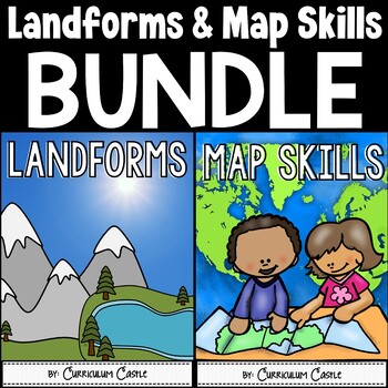
Landforms & Map Skills Unit BUNDLE
Make learning about geography come to life with this landforms and map skills bundle unit for young learners! Your students will have the opportunity to explore the landforms that shape our Earth, as well as beginning map skills. This bundle contains a variety of printables, projects, crafts, and much more. Also available in...Landforms and Map Skills DIGITAL BundleLandforms and Map Skills PRINT & DIGITAL Mega BundleLANDFORMS pack includes:Recommended book list Landforms posters (landform, b
Grades:
1st - 3rd
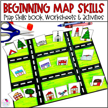
Map Skills Worksheets Book Lapbook - Reading a Map, Cardinal Directions, Compass
Are you looking for an engaging first grade map skills resource to add to your social studies curriculum? This engaging resource is what you need to teach mapping skills like cardinal directions, compass rose, and map skills. Students will love the map skills books and the hands-on build a town map. Finally, students can demonstrate their learning with the final map skills lapbook. Use this resource for:first gradesecond gradewhole class instructionsmall group instructionpartner workStudents wi
Subjects:
Grades:
K - 2nd
Types:
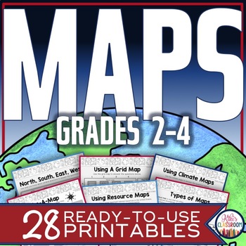
Map Skills Worksheets - Types of Maps, Cardinal Directions, Scale, Reading Maps
This pack of activities for Grades 2 - 4 includes 28 pages of thoughtfully designed printables to engage your students while they practice these basic concepts. You’ll find these ready-to-use pages to be easy to implement and thorough in scope. This resource includes opportunities for your students to acquire information from a variety of maps, to use map elements including the compass rose and scale, and to create their own maps within a defined (and easy to use) set of directions. There’s j
Grades:
2nd - 4th
Types:
Trip to Mexico Power Point and Activities Pack | Cinco De Mayo Activities
Have a great time learning about Mexico with this fun Power Point and Activities Pack. Both PowerPoint and Google Slides versions are included. It's the perfect activity during Cinco De Mayo, the last week of school, or for some Friday fun! Your class will be introduced to the geography, language, culture, and food in Mexico. The PowerPoint is packed with colorful, real photos. And a variety of activities are included to help your students reflect on what they've learned. Be sure to read the tip
Subjects:
Grades:
K - 6th
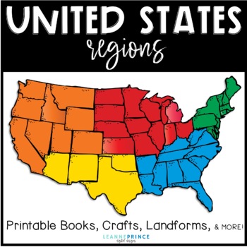
United States Regions {Fun activities for teaching about US Regions!}
This pack is over 100 pages of regions of the United States fun!!! The five regions included are the Northeast, Southeast, Midwest, Southwest, and West. For each united states region, I've included an interactive book filled with lots of information, a word search, craft, different writing activities to go along with the craft, and a colorful map of the region. Also included in this pack are a few different pre/posts tests, landforms of the U.S. posters with picture and definition, and a state/r
Subjects:
Grades:
1st - 4th
Types:
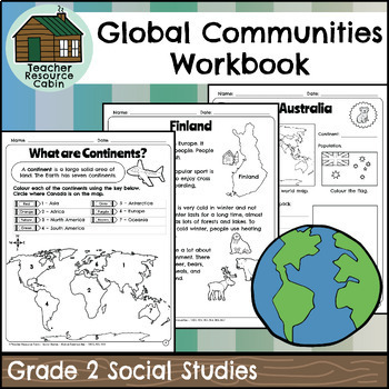
Global Communities Workbook (Grade 2 Social Studies)
This workbook covers the Grade 2 Global Communities unit in the NEW 2023 Ontario Social Studies curriculum (People and Environments).It covers various topics such as map skills, continents, oceans, and the equator. It further explores Canada, comparing climate, wildlife, natural features, homes, and recreation. It includes information on specific Canadian communities in Ontario, Yukon, Nova Scotia, and British Columbia, including a contemporary FNMI community (Saugeen First Nation). The workbook
Grades:
2nd
Also included in: Grade 2 Ontario Social Studies Workbook Bundle
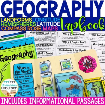
Geography Lapbook & Passages | Maps and Globes | Map Skills
This geography lapbook kit includes 11 PAGES OF INFORMATIONAL PASSAGES about maps and globes, hemispheres, lines of latitude/longitude, cardinal and intermediate directions, compass rose, continents and oceans, pangaea, landforms, bodies of water, plus black line masters and step by step photo directions for making a geography lapbook with your students. Also included, are 12 full color landform and bodies of water posters that match the images in the passages and lapbook. Use the geography lapb
Subjects:
Grades:
2nd - 4th
Types:
Also included in: Social Studies BUNDLE: Interactive Kits
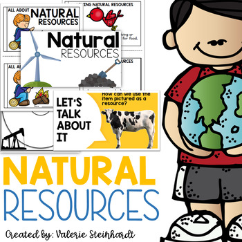
Natural Resources
Complete natural resource unit! Anchor charts with pictures and definitions, thinking maps, folables, interactive notebook pieces, and a mini reader! Included in this set:-Anchor charts and posters-Circle maps-Tree map picture sort-Interactive notebook piece-Man-made or nature made foldable-A mini book for students to create from what they have learned!Updated and added summer of 2022- - 20 slide instructional PowerPoint AND an emergent reader!This unit will make a great addition to your Science
Subjects:
Grades:
K - 3rd
Map Skills & Geography Activities Google Classroom Digital Resources
This digital activities bundle (including map skills reading passages!) will make maps and globe skills ENGAGING and FUN!This bundle includes digital activities and reading passages about map skills, the equator, prime meridian, hemispheres, continents, and oceans.This digital resource uses Google Slides™ and can be used on Google Classroom and Google Drive. This resource also includes an answer key.⭐️ Click HERE to SAVE 20% with the yearlong 2nd-Grade Social Studies Bundle!You will receive each
Subjects:
Grades:
2nd - 3rd
Types:
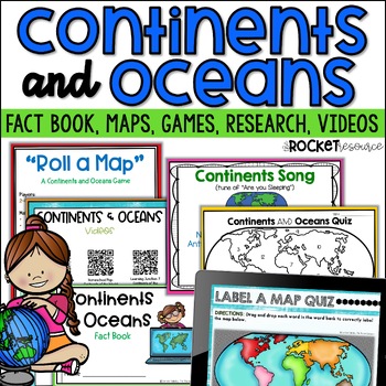
Continents and Oceans Activity | 7 Continents Printables | Ocean and Continents
Are you looking for a fun and engaging continents and oceans activity to teach map skills lessons in 2nd and 3rd grade? With engaging games, songs, maps and more, these 7 continents printables will lead to student mastery in no time! Students can label the 7 continents on a map, learn about the continents and oceans through reading passages, play continents and oceans games, sing songs, complete continent and oceans project ideas, and complete research. INCLUDES BOTH A PRINT AND DIGITAL VERSIO
Subjects:
Grades:
2nd - 4th
Types:
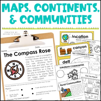
Maps and Globes - 7 Continents and Oceans- Landforms Map Skills Activity
This interactive and engaging resource will help your students learn all about Map Skills, Globes, Continents, Landforms, and Communities! These Map Skills activities will not only have your students learning the importance of locating on places on maps and globes, they’ll also be learning about constructing and reading a simple map, using cardinal directions and identifying map symbols. Lastly, they'll also compare and contrast basic land use in urban, suburban, and rural environments.This Maps
Grades:
1st - 3rd
Types:
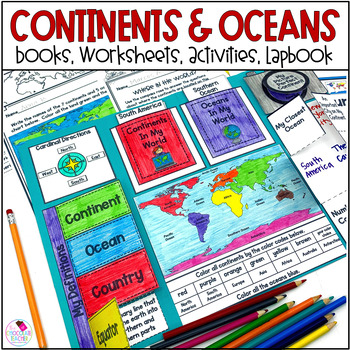
Continents and Oceans 1st & 2nd Grade Social Studies 3D Map, Lapbook, Worksheets
Do you need an engaging social studies resource to teach your students about the seven continents and five oceans? This easy-to-use resource includes everything you need to help your students learn about the world's continents and oceans.A variety of activities will keep your students engaged. These include vocabulary cards, books, worksheets, a 3D student map, a mapping lapbook, and a writing activity.This resource is part of a money-saving BUNDLE. Click to save 20% by purchasing the BUNDLE.Use
Subjects:
Grades:
K - 2nd
Types:
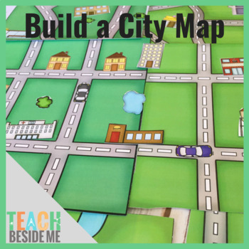
Build a City Map
This fun printable set is 15 pages long and includes 5 different map pages (each in color and black and white). It also includes 2 pages of buildings, cars, trees, and ponds to use to build and customize your maps. These are also included in color and black and white.
Subjects:
Grades:
PreK - 3rd
Types:
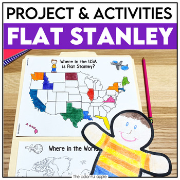
Flat Stanley Project
This Flat Stanley project is an engaging integrated unit for your students! This unit has everything you need to mail your own Flat Stanley projects around the world. Your students will love getting mail (and won't even know they are learning)!This Common Core aligned resource also includes Flat Stanley comprehension questions, vocabulary words and graphic organizers to help students understand the novel.This makes for a great activity for students! Students will create their own Flat Stanley p
Subjects:
Grades:
2nd - 4th
Planet Earth - Earth Day Activities - Using Maps and Globes - Science - Reading
This comprehensive, standards-based unit teaches your kindergarten and first grade students all about planet Earth. Children love learning about our place in the solar system, an overview of our planet, how to use a map and a globe, where we live in the world (address, city/town, country and continent), how to take care of the Earth, how to reduce, reuse, recycle and compost.... plus so much more!Students are incredibly engaged:watching and learning through a slideshowmaking an Earth Day craft
Subjects:
Grades:
K - 2nd
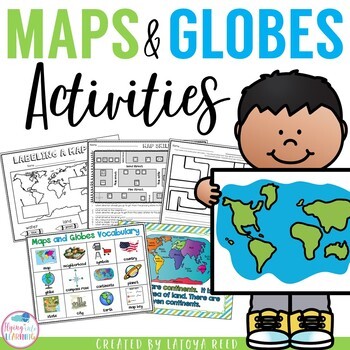
Maps and Globes
Maps and GlobesThis is the perfect unit for your teaching on Maps, Globes, and Where We Live. I have packed some great resources in this unit!!!You will get a 2 PAGE FREEBIE when you download the preview!!!Download the preview to see every page in the unit!!!!Table of ContentsPg. 2-13 Posters for teaching and vocabularyPg. 14 Vocabulary ChartPg. 15-18 word wall cards, write the room cards, etcPg 19 write the room recording sheetPg 20 What is a Globe? Mini bookPg 21 What is a map? Mini bookPg 2
Grades:
K - 2nd
Types:
"Trip to Hawaii" Power Point & Activities Pack!
This makes for such a fantastic end of year activity! You'll have a great time learning about Hawaii with this fun Power Point and Activities Packet with your students. Read about how I take my class on this exciting adventure below....Check out other products like this!Trip to Mexico BundleTrip to Australia BundleTrip to South AmericaFREE World Travel Student PassportIncluded in this pack... (check out the preview file for a sneak peek!)-47 slide power point on Hawaii where you learn about -
Subjects:
Grades:
K - 6th
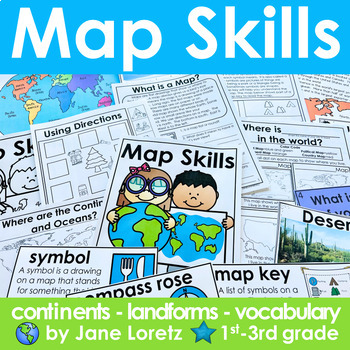
Map Skills 2nd grade 3rd grade worksheets, continents, vocabulary, landforms
This unit has everything you need for a great unit to teach map skills, vocabulary, continents, and landforms. This unit was written and used with first, second and third graders.What is included….MAP SKILLS-A 12 page no prep packet to help your students understand basic map skills. A cover is included so all you need to do is copy and staple. This pack would be great for distance learning, easy enough so students can do this independently. This pack includes these concepts…-What is a globe?-Wh
Subjects:
Grades:
1st - 3rd
Types:
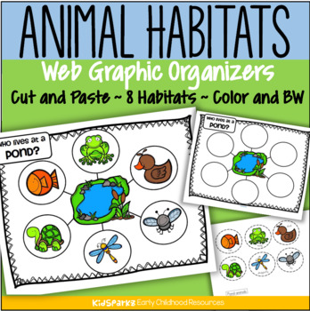
Animal Habitats Cut and Paste 8 Biomes Web Graphic Organizer Low Prep
Children create 8 animal habitat web graphic organizers by cutting and pasting 6 typical animals onto a habitat mat background.There are 8 habitats/environments represented: ForestRainforestFarmOcean PondDesert ArcticAfrican SavannaClick on the PREVIEW link to see most pages.Each habitat activity includes 4 pages:a web graphic organizer page, in color and b/w a page with 6 labeled animals to cut and paste, in colorand a page with 6 labeled animals to cut and paste, in b/wChoose either the pages
Subjects:
Grades:
PreK - 2nd
Types:
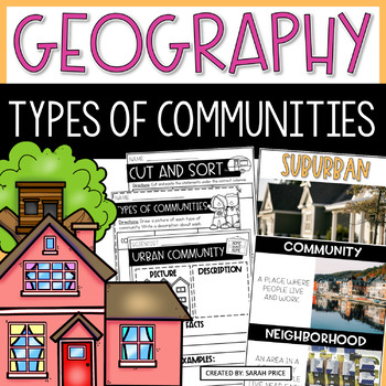
2nd & 3rd Grade Geography - Types of Communities Social Studies Activities
Teaching 2nd and 3rd grade students about the different types of communities is fun and exciting with these activities and worksheets! This social studies resource contains easy-to-follow lessons to help you teach your class about the different characteristics of communities in the U.S. Cover a variety of geography topics as your students will learn about the population, transportation, and homes in urban, suburban, and rural communities. This product includes lesson plans, foldables, activities
Subjects:
Grades:
2nd - 3rd
Types:
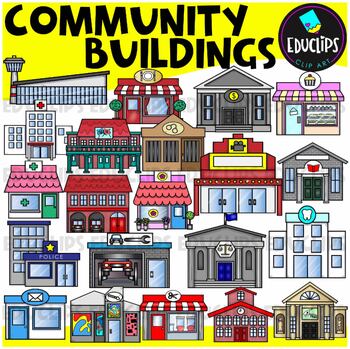
Community Buildings Clip Art Set {Educlips Clipart}
This is a set of buildings commonly found in the community. The buildings included in this set are: airportbakerybankcourthousedentistfirehousefloristgalleryhospitaljaillibrarymovie theatermuseumpharmacy or medical centerpolice stationpost officerepair shoprestaurantsalonschooltheaterThis set contains all of the images shown.42 images. (21 images in color and the same 21 images in B&W.)This set has been completely updated on 6/11/23Images saved at 300dpi in PNG files.For personal or commerci
Subjects:
Grades:
PreK - 6th
Showing 1-24 of 4,290 results


