19,218 results
5th grade other (social studies) resources under $5
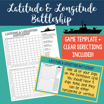
Latitude and Longitude Battleship Game - Map Skills Geography Activities
Help your students practice their latitude and longitude skills in a fun and engaging way using this no-prep latitude and longitude battleship game! The directions are included right on the template, so this is a no prep activity that comes ready to play. I've also provided PowerPoint directions so you can show students how to play as a class. Students will become well-practiced with using a grid and making sure they always give latitude coordinates first. I've used this every year and my studen
Grades:
4th - 8th
Types:
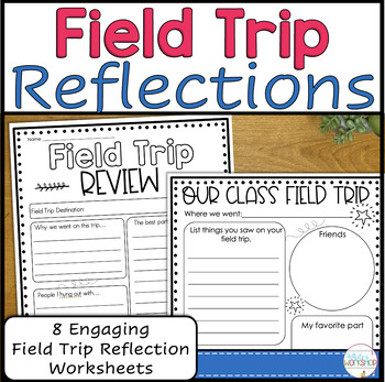
Field Trip Reflection and Memories
Help students make field trip memories and keep the excitement of the field trip alive with these reflection pages. Students can review vocabulary, learned content, and reflect upon their favorite parts of the trip. Use these pages individually or as a packet.Follow my White's Workshop store for more great resources! ❤️ Product includes:8 reflection pages - Our Class Field Trip (primary and intermediate styles) - 3-2-1 Reflection chart (primary and intermediate
Grades:
2nd - 5th
Types:
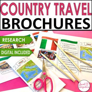
Country Travel Brochure Research Social Studies - Templates and Digital
For a great addition to any country research project, try implementing this fun Digital Country Travel Brochure activity. This digital brochure is an engaging way to learn informational text skills or for use in a presentation of country research. Their striking, professional-looking brochures will impress everyone!IN THIS RESOURCE:I've included front and back trifold Powerpoint templates. Country resource websites and graphic organizers. Editable so you can add your own headings.Students resear
Grades:
3rd - 5th
Types:
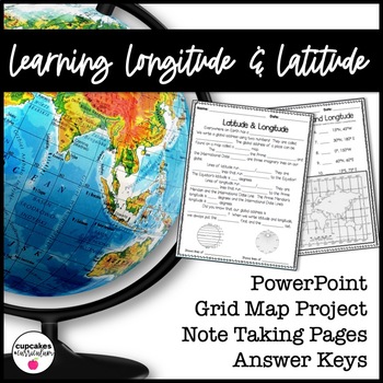
Latitude & Longitude Worksheet for Latitude & Longitude Practice with PowerPoint
This interactive Social Studies lesson engages your students in note-taking of important concepts and lets them use their creativity to show what they have learned!▁▁▁▁▁▁▁▁▁▁▁▁▁▁▁▁▁▁▁▁▁▁▁▁▁▁▁▁▁▁▁▁▁▁▁▁▁▁WHAT IS INCLUDED IN THIS RESOURCE?⇨ 10-page PowerPoint Presentation: Show a vibrant Powerpoint to your students to introduce concepts like longitude, latitude, grid map, coordinates, Prime Meridian, International Dateline, and Equator. ⇨ Accompanying Worksheets: As you engage them in this powerp
Grades:
2nd - 5th
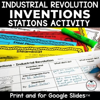
Industrial Revolution Inventions Activity Stations Worksheet Interactive
Looking for a one 30-45 minute lesson to teach the major inventions associated with the Industrial Revolution? This industrial revolution inventions activity can be done in stations and students fill out a worksheet as they move around the room.I don't know about you, but my textbook doesn't "cut it" with the inventions. It seems the information is in multiple places and skips around. I created this lesson so that all of the inventions mentioned below are in one place! This can be used as a
Grades:
5th - 8th
Also included in: Custom Bundle for John P.
EACH KINDNESS Book Study: Social Emotional Learning Lesson on Kindness + Empathy
The Each Kindness Game Show is an interactive, quiz-show style book study lesson on empathy and kindness. Based on Jacqueline Woodson's beautiful book, "Each Kindness".Now includes both Google Slides™ and Power Point Presentation files, which allows you to use for SEL distance learning, teletherapy, virtual counseling groups, school counseling guidance and in person lessons.***Please note: Jacqueline Woodson's book, "Each Kindness" is not included in this resource.Ways to Use☀️ Social emotional
Grades:
3rd - 6th
Types:
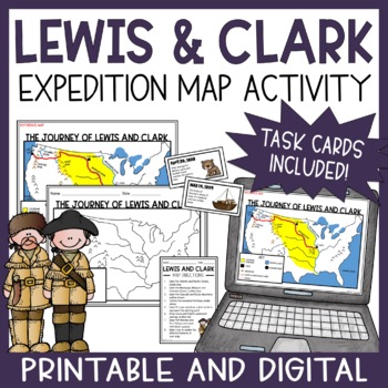
Lewis and Clark Expedition Map Activity & Task Cards | Print & Digital
This engaging Lewis and Clark map activity is an excellent supplement for your Westward Expansion unit! The printable and digital map lesson provides students with a great visual for learning about the Lewis and Clark Expedition. Printable and digital task cards are also included for students to put events of the expedition in chronological order. **This resource is part of the printable and digital Lewis and Clark Unit Bundle. It includes 5 NO PREP Lewis and Clark resources at a 30% discount p
Grades:
5th - 8th
Types:
Also included in: Lewis and Clark Expedition Unit Bundle | Printable & Digital Activities
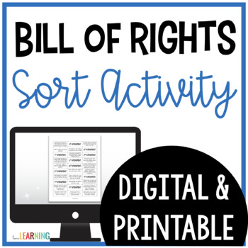
Bill of Rights Sort Activity with Scenarios - US Constitution Day
Teach students about The Bill of Rights with this fun sort activity! Students will learn about the Bill of Rights and the first ten amendments to the U.S. Constitution. Students will also match the scenarios to each amendment. It is perfect for Constitution Day or Founders Month as students learn about the U.S. Government.This Bill of Rights Sort includes the first ten amendments, their definitions, and real-life scenarios that students will match in order.This activity includes a digital versio
Grades:
3rd - 5th
Types:
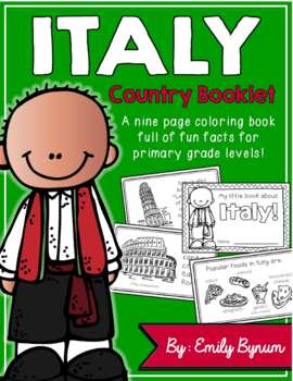
Italy Booklet (A Country Study!)
This "All About Italy" booklet can be used for a very basic country study in lower elementary grades! Each page contains a basic fact and related illustration! All graphics are in an outline format so that it's ready to be colored like a mini-coloring book.This coloring booklet gives all the general/basic information about Italy, including:-geography -Italian flag-capital city of Rome (famous sites)-popular Italian foods-most popular sport (football)-Ancient Romans (powerful military)-Leaning To
Grades:
K - 5th
Types:
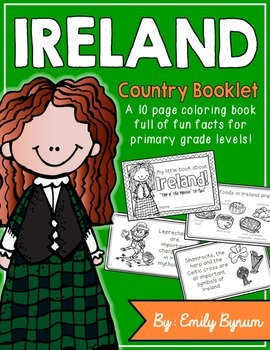
Ireland Booklet (A Country Study!)
This "All About Ireland" booklet can be used for a very basic country study in lower elementary grades! Each page contains a basic fact and related illustration. All graphics are in an outline format so that it's ready to be colored like a mini-coloring book.
This coloring booklet gives all the general/basic information about Ireland, including:
-geography
-Irish flag
-Dublin (capital city)
-popular foods
-Nickname (The Emerald Isle)
-Symbols (shamrock, harp, Celtic cross)
-Irish dancing
-lep
Grades:
K - 5th
Types:
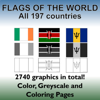
Flags of the World: 2740 World Flags - All 197 countries - Incl. Coloring Pages
Flags of the World: All 197 countries - 2740 graphics - Clip-art Set and Bonus PDF Document. Includes 197 colored flags that are identical in dimension to allow you to create uniform, clean looking resources!This clip art set contains 197 flags from around the world in both color, gray-scale and black and white outlined coloring pages. (A total of 2740 graphics!). A PDF document with the country name and large format flag is also included for easy printing and displaying.Every world flag is her
Grades:
PreK - 12th, Higher Education, Adult Education, Staff
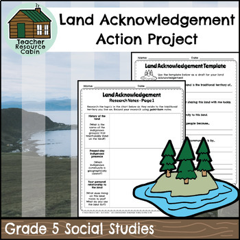
Land Acknowledgement Action Project (Grade 5 Social Studies)
This project is intended as a culminating task for Grade 5 Social Studies - Interactions of Indigenous Peoples and Europeans prior to 1713, in WhatWould Eventually Become Canada aligned with the Ontario Social Studies curriculum (Heritage and Identity). Students will write a land acknowledgement for the land on which they currently live. They will research the Indigenous group whose traditional lands they are situated on using online sources. They will create a final poster with their written la
Grades:
5th
Also included in: Grade 5 Ontario Social Studies Workbook Bundle
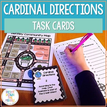
Map Skills and Cardinal Directions Task Cards
Cardinal Directions Task Cards are used to reinforce the skills students need to know for reading maps, using cardinal directions, and learning geography skills. This task card set uses the cardinal directions north, south, east, and west. Students will use the map ‘Bentley Community Map’ to answer the 20 task cards. There is a recording sheet and an answer key provided. Task Cards are great to use in the classroom for:• Independent Practice• Scoot• Test Prep• Collaborative Pairs• Whole-Group As
Grades:
3rd - 6th
Types:
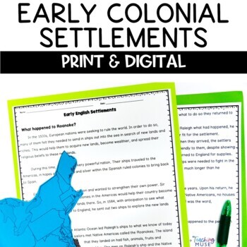
Jamestown Roanoke Plymouth Settlement Activity
This print and digital activity will teach students about the first colonial settlements in America. As students begin their studies of the 13 colonies, they will learn about Roanoke, Jamestown, and Plymouth. Then, students will read about their location, hardships, and successes. This print and digital activity will introduce and connect your European explorers unit to the thirteen colonies. Like this colonial settlement activity? Check out the 13 colonies unit and save 20% by clicking here. S
Grades:
4th - 6th
Types:
Also included in: 13 Colonies Unit
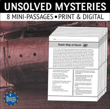
Unsolved Mysteries Nonfiction Reading Comprehension Passages Set 1
Build comprehension with 8 short nonfiction reading passages and questions about famous unexplained or unsolved historical mysteries. Options include print, Easel Activities, and Google Forms. Each worksheet has one paragraph of informational text and 4 multiple-choice questions. Topics include the Lost Colony of Roanoke, the Belmez Faces, the Bermuda Triangle, the Dancing Plague, the Green Children, the Loch Ness Monster, the Yeti, and the SS Ourang Medan. The questions cover a variety of readi
Grades:
3rd - 5th
Types:
Also included in: Short Nonfiction Reading Comprehension Passages Bundle
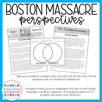
Boston Massacre Perspectives: Compare the British and Colonial Points of View!
Help your students understand the differences in how the Boston Massacre was covered by British and Colonial newspapers! My product includes two primary source news articles (language has been modified and modernized to make it more accessible to students), a Venn Diagram and reflection questions for students, and teacher instructions with guiding questions. This activity is perfect to use right after your students have learned the basics of the Boston Massacre, because they will be able to see
Grades:
5th - 8th
Types:
Bubonic Plague The Black Death PowerPoint Slides Outline Notes & YouTube Videos
This was recently re-mastered to be AWESOME! This PowerPoint has some fantastic visuals of the black death/bubonic plague. It also shows the spread of the disease throughout Medieval/Feudal Europe with a great map. There are several key questions that encourage discussion. This PowerPoint is sure to grab your student's attention!The last slide has 2 YouTube links from the History Channel, including a fun song that my class thought was hilarious.We also have an Oh Rats! Black Death storyboard pos
Grades:
5th - 9th
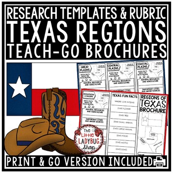
Texas History Study of Regions of Texas Map Activity Research Template Brochure
Texas Regions Brochure Research Template is a quick and interactive way for your students to use during their study. Just print, fold and go! You will love this easy template that covers all the important details to understand the Texas Regions. CHECK OUT ALL THE TEXAS RESOURCESINCLUDED:All pages in black and white optionGrading rubricHelpful website links and teacher notes to help in gradingRegions: Coastal Plains, Mountains and Basins, Central Plains, and Great PlainsResearch to be completed:
Grades:
3rd - 5th
Types:

Industrial Revolution Inventions: Spinning Jenny, Steam Engine, Telegraph!
In this stations-based resource on different inventions during the early Industrial Revolution, students learn about the telegraph, the Spinning Jenny, the steamboat, the mechanical reaper, the steel plow, the process of pasteurization, and the steamboat. Students rotate to different stations in the room where they read about one of the major inventions/achievements of the Industrial Revolution and take relevant notes on a bubble map organizer. Once complete, students answer the overarching pro
Grades:
5th - 8th
Types:
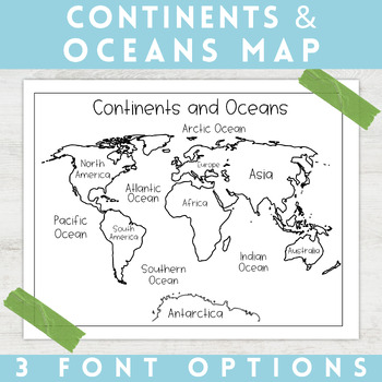
World Map Continents and Oceans | Black and White | Coloring Sheet
Enhance your minimalist classroom with these Black and White World Map with labeled Continents and Oceans!These black and white world map features each of the 7 continents and 5 oceans accurately labeled. These maps are great to print out, laminate, and hang up in a minimalist or neutral classroom. These maps are also great to print out and make copies for students to color! Please feel free to make copies of this resource for your students, or for your own kiddos.Updated 5/29/2024: There are no
Grades:
PreK - 9th
Types:
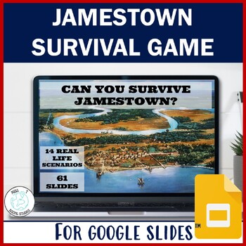
Jamestown interactive simulation: Can you survive Jamestown Decision Making Game
"Can you survive Jamestown?" Allow your students to step back in time and experience the perilous journey of America's first settlers in a more personal and educational way with this interactive decision-making game. Your students will be tested with choices and decisions on everything from everyday life and personal finances to farming difficulties with this Jamestown game. It is proven students retain 90% of information if they "do" the task. Well, in this simulation, they are not just lear
Grades:
5th - 8th
Types:
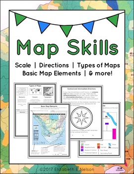
Map Skills Package
This package contains a variety of handouts, worksheets, a lesson idea, and an activity to help teach students map skills such as scale, cardinal and intermediate directions, types of maps (planimetric, thematic, topographic), and basic map elements (legend, title etc.)
Contents
Welcome
Teaching Guide (3 pages)
Latitude, Longitude, and Directions: The Orange Lesson
Latitude Labeling Worksheet Option 1 (label)
Latitude Labeling Worksheet Option 2 (trace)
Cardinal and Intermediate Directions Han
Grades:
3rd - 6th
Types:
Also included in: Map Skills Bundle: activities, worksheets, crafts, posters + more
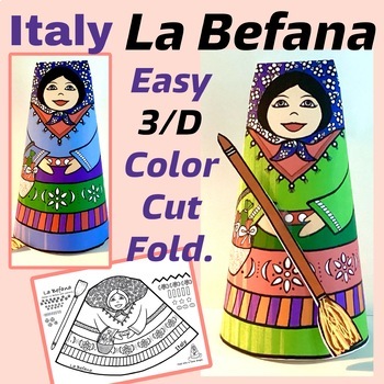
Italy: La Befana 3D Paper Craft. Lines and Patterns. Holidays around the World
Students will enjoy using their creativity decorating this friendly version of La Befana, with colorful patterns of Italian country fabrics. This fun to make craft activity will be a great learning extension, when reading about La Befana of Italy in your holidays around the world unit. After decorating with thin markers or crayons, simply fold into a cone shape and glue! Encourage students to use plaid and stripe patterns, and explore different color combinations. Copy on card stock, or heavy we
Grades:
1st - 5th
Types:
Also included in: 8 Holidays Around the World Christmas Crafts Bundle, Rich in Traditions!
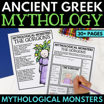
Greek Mythology Unit - Greek Monsters Activity - Ancient Greece Myth Projects
This Ancient Greek Mythology Monster Unit contains a fun Greek Mythology project on monsters. Perfect for your Ancient Greece Unit, this Greek myth resource contains mythology reading passages on the Gorgons (Medusa), the Hydra, the Minotaur, Cerberus, and other mythological monsters.Very little teacher prep is required – simply print and teach! While all activities are great to be used as-is, they make an excellent addition to a Greek Mythology Interactive Notebook.This package contains readin
Grades:
4th - 7th
Showing 1-24 of 19,218 results


