4,497 results
Free 7th grade geography resources
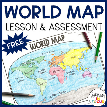
World Map Activity and Assessment | Free | Printable & Digital
World Map Lesson and Assessment! This printable and digital World Map Lesson and Assessment focuses on continents, oceans, and the Equator. A color reference map and assessment answer key are also included! **This resource is part of the World History Map Activities Bundle. TEN map lessons and assessments are included at a 20% discount price! Click here to see all the resources in the bundle and take advantage of the HUGE savings.WHAT TEACHERS ARE SAYING ABOUT THIS PRODUCT:♥ This is EXACTLY wh
Grades:
4th - 7th
Types:
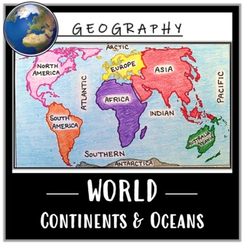
World Map Activity- Label & Color the Continents and Oceans! (Google Compatible)
Use this Continents & Oceans Map Coloring activity to jump-start your lesson! Each student will make their own, personalized world map that focuses on labeling and coloring the continents and oceans, all while enhancing their knowledge of the earth. After the map activity, your students can test their skills with a blank map assessment! A completed, colored map is included to use as reference. This resource is Google compatible, but the blank map is intended to be printed for coloring and
Grades:
5th - 12th
Types:
CCSS:
Also included in: Ancient Civilizations / World Maps BUNDLE- Color & Label Activities!
Math: Dream Vacation Project
Every student has a dream of the perfect vacation. Now, you can let them dream and plan away with a budget and a mix of geography, math, and even language arts! This project has students plan their dream vacation, research into the geography and climate of their dream location, "buy" plane tickets, plan excursions, figure out currency conversions, figure out transportation while on vacation, etc. The end result is a presentation complete with visuals and journaling. This is a great portfolio
Subjects:
Grades:
4th - 9th
Types:
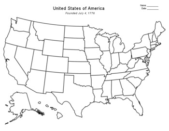
Free - Blank US Map
FREE - Blank US Map. A free, blank US map outline and a northeast-southeast region map. -------------------------------------------------------------------------------------------------------------And for one-stop shopping...SOCIAL STUDIESBundle - US History & US GeographyCalifornia & USA BundleFlorida & USA BundleNew York & USA BundleUS Presidents w/ 12 Graphic OrganizersState Report with Project and Speech - assignment sheetTexas & USA BundleUS States (50 internet
Grades:
PreK - 12th
Types:
Also included in: Top Sellers on TpT
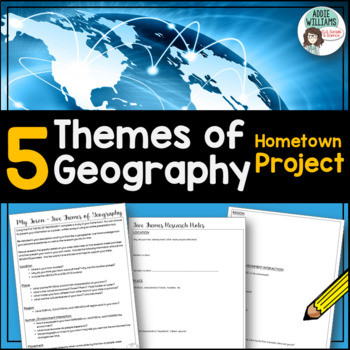
Five Themes of Geography - Project about Your Town - FREE
Five Themes of Geography - Having learned about the five themes of Geography, students apply their knowledge to their own town. Students must research the Location, Place, Region, Human-Environment Interactions, and the Movement of their own community. Includes the assignment sheet and research record with student hints. Students enjoy the opportunity to think like a geographer and learn about their town. Also, be sure to check out my other Five Themes product —>Five Themes of Geography Post
Subjects:
Grades:
6th - 9th
Types:
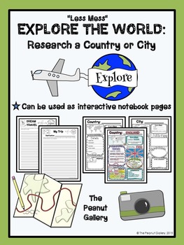
FREE "Less Mess" Explore the World: Research a Country or City
These pages can be used as interactive notebook pages or simply as stand-alone, ready to use student activity pages to make research of a country or city a bit more fun!
My “Less Mess” Interactive Notebook Activities allow for two simple steps: cut around the border and glue it in. That’s it! They are perfect for teachers who may have their students for just one short period per day. However, if you are a big fan of the “folds and flaps” that usually come with interactive notebooks, this resour
Subjects:
Grades:
4th - 7th
NO PREP! Map Skills Scavenger Hunt: Continents, Types of Maps, Finding Location
This activity is sure to get your year started off right! This Scavenger Hunt will help you introduce a variety of map concepts!
Focus Skills and Concepts:
*The location of the Continents and Oceans
*Using a Compass Rose
*Finding Relative Location
*The Equator and Prime Meridian
*Hemispheres
*Reading a Political Map
*Reading a Physical Map
Included in this packet:
*Pretest
*Links to Online Maps
*Black and White Printable Maps of the World-Continents and Oceans
*Labeled Political World Map
*
Grades:
4th - 9th
Types:
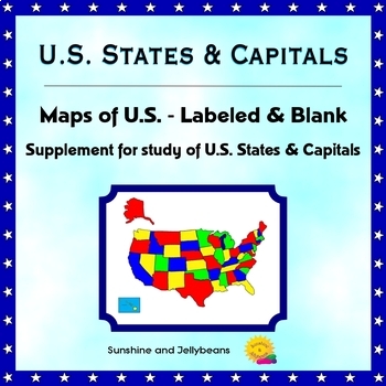
U.S. States & Capitals - Labeled & Blank Maps for Study and Practice - Geography
This set of maps is a perfect supplement to any study of the U.S. states and capitals.The set includes:Color map of the U.S. with states labeledBlack-and-white map with all states and capitals labeledBlack-and-white map with no labels, for student practice.The black-and-white maps can be easily photocopied for classroom use.This set is designed to work with the worksheets, flash cards and activities in my U.S. States & Capitals Bundle: U.S. States & Capitals BundleProducts included in t
Grades:
4th - 7th
Yellowstone National Park Virtual Field Trip (Distance Learning)
Take a Virtual Road Trip to learn about Yellowstone National Park! This resource includes both a Google Slides edition for digital learning, as well as a printable version. Students use Google Earth and multiple print and digital sources to quickly draw information to answer questions pertaining to Yellowstone National Park. This resource is aligned to the Common Core Standards.Students begin by reading a short passage about Yellowstone to build background knowledge before using the amazing feat
Subjects:
Grades:
5th - 8th
Types:
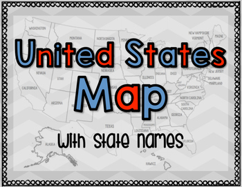
United States Map with State Names
You're search for the PERFECT United States map is over!
This black and white version has student learning in mind and contains the FULL STATE NAMES! This map is also part of my larger bundle on the Electoral College.
Click here to view it!
If you have any questions regarding any part of this product, please do not hesitate to contact me.
Thank you!
Subjects:
Grades:
1st - 12th, Higher Education, Staff
Types:
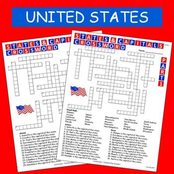
States & Capitals Crossword Part 1 of 2 FREE
This is part 1 of my States & Capitals Crossword worksheet set. Part 2 is also available on TPT. I use these as review and homework assignments. Answer key included. Two versions, one version has a word bank the other version does not.See also:States & Capitals Crossword Part 2 of 2
Subjects:
Grades:
4th - 8th
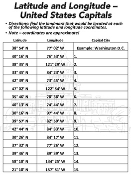
Latitude and Longitude Worksheet - U.S. Capitals
This latitude and longitude worksheet can be used with Google Earth or other maps. The worksheet has 15 sets of coordinates. Students are to find the capital city located at each set of coordinates. A link to a Google Form is included. Unlike the PDF worksheet, the Google Form is multiple choice so it can be automatically graded. A link to download a version of the worksheet formatted for Google Slides is also included.The worksheet was designed to be printed in black and white. State capitals i
Subjects:
Grades:
6th - 8th
Types:
CCSS:
Also included in: Geography Introduction Bundle
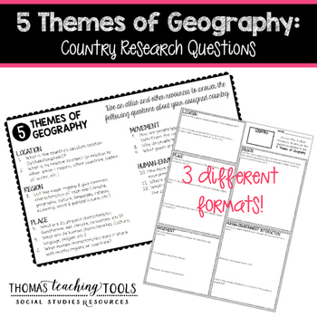
5 Themes of Geography: Country Research Questions
Students (individuals or groups) can research any country and answer the questions related to the five themes of geography. The assignment comes in 3 different formats so you can choose the one that best fits your classroom environment. It can be used as a stand-alone assignment or as the basis for a country project. Students will need access to the internet and/or library resources to complete this assignment. These resources are not editable, so please contact me via email for customization
Grades:
5th - 10th
Types:
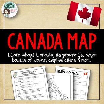
Canada Map Assignment - FREE!
Canada Map - An assignment that asks students to complete a map of Canada that includes all of the provinces / territories, capital cities and major bodies of water. Also includes a "Mapping Essentials" worksheet I give out to all of my students at the start of our mapping unit.
I've included two versions of the assignment sheet - one with US spelling and one with Canadian spelling.
(C) Addie Williams, Addie Education
Subjects:
Grades:
5th - 9th
Types:
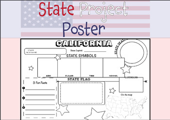
50 STATE RESEARCH PROJECT
These State Report poster templates are a fantastic resource that includes over 50 eye-catching posters to showcase your research project on any of the fifty United States. They are perfect for use throughout the year and are an excellent complement to social studies lessons, helping students to better organize their research. These state posters are not only useful for helping students to organize their research, but they also make great bulletin boards or hallway displays. Your students will b
Subjects:
Grades:
3rd - 12th, Higher Education, Adult Education
Types:
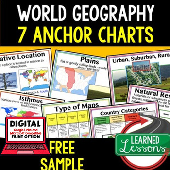
Geography Anchor Charts Sampler Free, World Geography Posters
Geography Free Anchor Charts (Great as Bellringers, Word Walls, and Concept Boards)(Great as Bellringers, Word Walls, and Concept Boards), Mapping Skills Posters, Geography Review Pages, Digital Activity via Google Classroom This bundle will take your through the entire Geography curriculum. It will include all components of Geography. This is perfect for traveling around the world in style. Sign up for email updates and follow me on TPT for updates.Anchor charts are great for representing
Grades:
6th - 12th
Types:
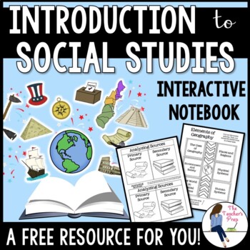
Introduction to Social Studies Interactive Notebook Graphic Organizers FREEBIE
These interactive notebook graphic organizers will help students organize information about their unit on the introduction to Social Studies!Interactive notebooks are an effective tool in the classroom. Not only can they assist students in keeping their work organized, but they are also an easy-to-access resource for reference throughout the year. The Introduction to Social Studies Interactive Notebook Graphic Organizers resource is intended as a resource for late-elementary and middle school ag
Grades:
5th - 8th
CCSS:
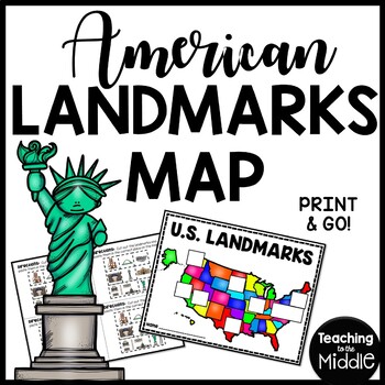
American Landmarks Map Cut and Paste Activity United States
America has so many amazing landmarks! This map is made to be used in conjunction with my American Landmarks Reading Comprehension Bundle, but could be used on its own. You will find both black and white and color copies of the landmarks and maps in this file. There are other files that have these separated out in the ZIP file. The “landmarks” pages should be cut to accommodate 4 students. The maps/locations aren’t to perfect scale, but help students get an idea where these places are located w
Subjects:
Grades:
2nd - 8th
Types:
Also included in: MEGA Reading Comprehension Bundle Custom Bundle for Buyer
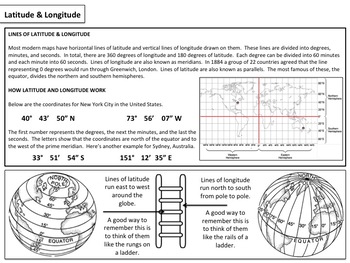
Latitude & Longitude - Map Activity
Please enjoy these free materials to help teach your students about the basics of latitude and longitude. Included in the file are a set of basic worksheets as well as a short PowerPoint presentation to help guide teachers and students through the materials.If you enjoy them, please consider purchasing my larger mini unit available at the link below:Latitude & Longitude : Mini Unit____________________________________________________________________________________Please follow me on the site
Subjects:
Grades:
6th - 12th
Types:
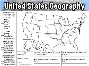
United States Geography Worksheet
This United States Geography Worksheet has 21 items for students to label on a map as well as four questions to answer. Both a PDF and a link to download the worksheet using Google Slides are included. An answer key is included. Items to label include:States: Alaska, California, Florida, Illinois, New York, and TexasCities: Chicago, Los Angeles, New York City, Washington D.C.Bodies of water: Atlantic Ocean, Great Salt Lake, Gulf of Mexico, Lake Michigan, Mississippi River, Pacific OceanGeographi
Subjects:
Grades:
5th - 7th
Types:
CCSS:
Also included in: Geography Worksheet Bundle
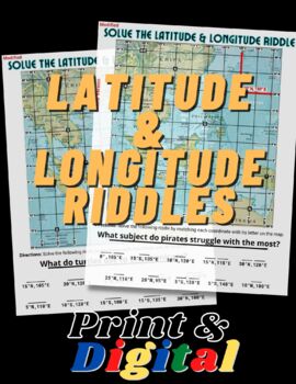
FUN Latitude & Longitude Riddles
This product includes TWO fun and engaging worksheets that will help students practice finding absolute location using their latitude & longitude skills. Both maps include an example to show students how to locate coordinates and how to write them. This product is bundled with the print and digital options. The digital version in in Google Slides format and simple to use!
Grades:
5th - 12th
Types:
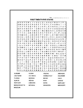
Fifty States Word Search
United States word search. Fifty states broken down in two puzzles.
Subjects:
Grades:
4th - 12th, Higher Education
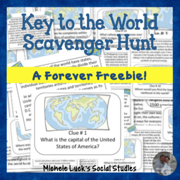
Key to the World Scavenger Hunt of Fun Geography Facts - Task Cards
FREE! Introduce your students to World Geography with this Key to the World Scavenger Hunt! Students can investigate fun facts about our world by reading the provided fact cards, or they can utilize the internet of other classroom resources with this fun, engaging activity!Use as a centers activity, as task cards, for a World Walking Tour, in an archeology dig site, or as daily bell ringers.Includes: 20 Question Cards20 Fact CardsStudent HandoutsWrap-up QuestionsAnswer KeyIf you like this Scav
Grades:
3rd - 10th
Types:
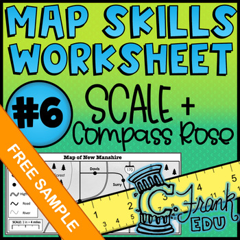
Map Skills Worksheet: Scale & Compass Rose #6 (NO PREP) - Free Sample!
Looking to track student progress with map skills? This worksheet not only reviews crucial map comprehension skills, the accompanying answer key and data tracker allow teachers to see which specific skills students have mastered or which may be in need of review.I hope you enjoy this FREE resource! To see more of what my store has to offer, please check out the following: o ALL Map Skills Worksheetso Map Skills Worksheets – Calculating Scaleo Map Skills Worksheets – Using the Compass Rose Lookin
Grades:
5th - 8th
Types:
Also included in: BUNDLE: 5 Map Skills Worksheets: Scale & Compass Rose (NO PREP) #6-10
Showing 1-24 of 4,497 results


