1,793 results
High school geography graphic organizers
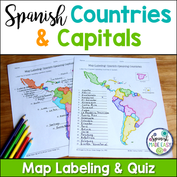
Spanish-Speaking Countries and Capitals Maps and Quiz
This is a map labeling activity and matching quiz over the 21 Spanish-speaking countries and capitals. Students will label and identify the 21 Spanish-speaking countries and capitals in Spanish. This is a great activity when reviewing Spanish-speaking countries and capitals or Spanish geography. Makes a great coloring page. Answer keys are included.
Countries included:
España, México, Costa Rica, El Salvador, Guatemala, Honduras, Nicaragua, Panamá, Cuba, La República Dominicana, Puerto Rico, Ar
Subjects:
Grades:
6th - 12th
Also included in: Spanish Countries and Capitals Geography Bundle
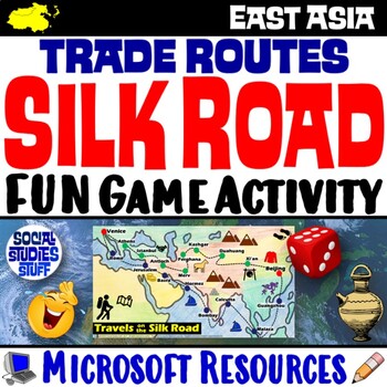
Silk Road Trade Routes FUN Game Activity | Cultural Diffusion and Geography
Play a FUN “Travels on the Silk Road” game that students LOVE! They must identify goods & ideas spread on the trade routes while competing to amass the greatest fortune along the way! Print & interactive, digital versions of the materials are included. Made for traditional in-class learning or digital 1:1 classrooms. Everything you need is included!Includes:Explain Slides: Game DirectionsFill-in Scorecard & ChartGame Task CardsGame BoardAnswer KeyTeacher Reference GuideVocabulary:Sil
Grades:
5th - 12th
CCSS:
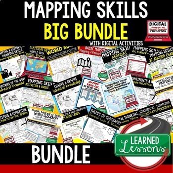
Geography Mapping Skills BUNDLE (World Geography Bundle), Mapping Activities
This Mapping Skills BUNDLE, Google Classroom, Print & Digital Distance Learning covers important foundational mapping skills topics such as Geography Overview, Types of Maps, Map Elements, Key Places on Maps, Latitude, Longitude, Time Zones, Climate Zones, Five Themes of Geography, & Biomes. It also includes historical thinking skills topics such as primary and secondary sources, artifacts, timelines, political cartoons, debates, push/pull factors, charts & graphs, comparing, contras
Grades:
6th - 12th
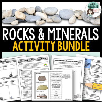
Rocks and Minerals - Types of Rocks, Rock Cycle, Minerals and More!
Teaching about rocks and minerals? These five resources will help students learn and review minerals, the three different types of rocks, and the rock cycle. The bundle includes graphic organizers, a review game, an interactive notebook template, mineral identification activities and more!Includes the following FIVE products:Types of Rocks Graphic Organizers - 4 different organizers and review questions (with answer keys)Rockin' Through the Rock Cycle - students have to write a story from the
Subjects:
Grades:
7th - 10th
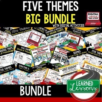
Five Themes of Geography Activity BUNDLE (World Geography Curriculum Bundle)
Five Themes of Geography BUNDLE, Google Classroom, Print & Digital Distance Learning ALSO PART OF A WORLD GEOGRAPHY MEGA BUNDLE, covers Five Themes, Spheres, Inside the Earth, Landforms and Waterways, Earth & Sun Relationships, Weather and ClimateThis bundle includes links to engaging resource in Dropbox and Google Format as well as direct PDF downloads. Sign up for email updates and follow me on TPT for updates.INCLUDES:Five Themes Unit Lesson Plan Guide for World Geography, Back To Sc
Grades:
7th - 12th
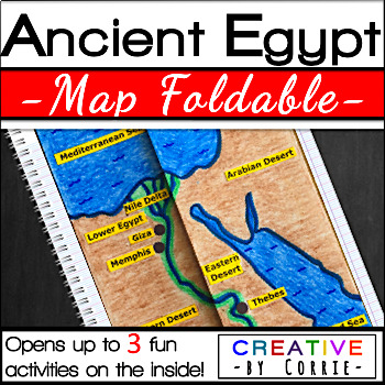
Ancient Egypt Map Foldable for Interactive Notebooks
Spice up your Ancient Egypt geography lesson with this fun map foldable activity! This foldable folds on two lines so that the sides meet in the middle to form a map of Ancient Egypt. The foldable then opens up to 3 activities which will sharpen your students’ knowledge about the geography of Ancient Egypt. The activities on the inside are focused on three topics:Natural barriers that protected Ancient EgyptWays the people of Ancient Egypt used the Nile RiverFacts about the Nile River What’s i
Subjects:
Grades:
3rd - 9th
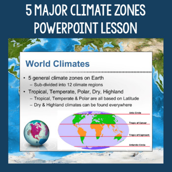
5 Major Climate Zones PowerPoint Slides | Chart and Mapping Activity
This Climate Zones Lesson and Activity includes a full PowerPoint presentation that address the characteristics, general locations, plants, animals, and specific location examples of the 5 major climate zones (polar, temperate, tropical, dry, highland). Students can fill out the included chart as you go over the presentation and a follow-up mapping activity puts their new knowledge of the climate zones to use. A filled out version of the chart, a blank version of the chart, and a blank map are a
Subjects:
Grades:
5th - 12th
Also included in: Geography Skills PowerPoint Lessons Bundle
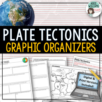
Plate Tectonics / Boundaries Graphic Organizers - PRINT & DIGITAL
Teaching about plate boundaries and plate tectonics? -These graphic organizers are a great way for students to review different plate boundaries, learn about the Theory of Plate tectonics and organize their notes /ideas. Excellent for review or for group work. Includes 3 graphic organizers to mix and match, a Review/Challenge Activity Summary Activity, Mapping Worksheet, and Extension / Lesson Ideas. Includes answer keys for the graphic organizers.This resource also includes a link to a digita
Subjects:
Grades:
7th - 10th, Adult Education
Types:
Also included in: Plate Tectonics / Earthquakes / Volcanoes Organizers | PRINT & DIGITAL
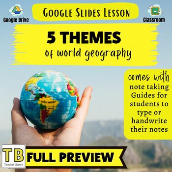
5 Themes of Geography Google Slides and Note Taking Guide
The 5 Themes of Geography Google Slides lesson is a great way to introduce students to the Five Themes of Geography: Location, Region, Human Interaction with the Environment, Movement and Place. The Google Slides purchase also comes with a student note taking guide/graphic organizer (for print and digital learning) There is also a completed note-taking guide for teachers to use as a key, or to provide for their EL or IEP students. The following topics are covered:Why the 5 themes are importantH
Grades:
7th - 10th
Types:
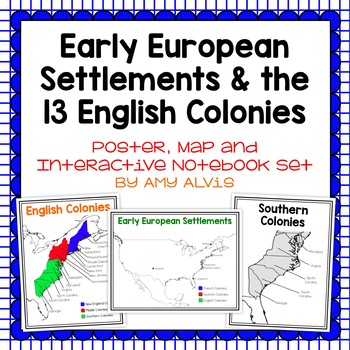
Early European Settlements & 13 English Colonies Poster and INB
This poster, map and interactive notebook INB set covers covers the early American settlements of Santa Fe, St. Augustine, Roanoke Island, Jamestown, Plymouth and Quebec as well as the original 13 colonies.You will get the following:pg. 3: Poster of Early European Settlements (Santa Fe, St. Augustine, Roanoke Island, Jamestown, Plymouth, and Quebec)pg. 4: Map of Early European Settlements where students can map where each settlement was.pg. 5-12: Posters of 13 Coloniespg. 13: Map page for stud
Grades:
5th - 9th
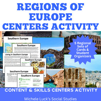
Regions of Europe Centers Activity for European Geography or Culture Study
Introduce your students to the regions of Europe with this easy to prep Centers or Stations Activity. At each regional center, students will read geographic information on the region, view maps and discover physical features and statistics, view data from the region on cultural and human characteristics, and read current articles on the regions of Europe (using internet links provided in teacher directions). Included:Reading Cards on each RegionImage Cards on each RegionMap Cards on each Regi
Subjects:
Grades:
6th - 10th, Higher Education
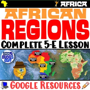
The Five Regions of Africa 5-E Lesson | African Geography and Culture | Google
This lesson examines the five regions of Africa by exploring the continent’s diverse cultures & geography. The activities are engaging for students & the guided, 5-E format is easy for you to use! Fill-in notes accompany the lesson. Begin with a fun “Rank It - Continents” warm-up. Then, a “Divide It” activity challenges your class to examine 4 thematic maps to determine how best to divide Africa into 5 regions. Next, students create labeled maps featuring the 5 regions of Africa. An “Inv
Grades:
6th - 12th
CCSS:
Analyzing and Comparing Different Types of Maps
Different Types of Maps The main goal of this lesson is for students to identify, analyze, and make connections between different types of mapsAlthough not necessary, having computers or Ipads available for students will allow them better view each map in full color. If this is not possible, the maps can still be projected onto a screen. A Powerpoint with each map is provided for this17 Slide PowerPoint comes with:Do NowInformational ChartClass NotesAssessment QuestionsActivity InstructionsConc
Grades:
5th - 10th
Also included in: Geography Unit Bundle
World Domination! Ancient or United States US Geography Game Answer Document
This is the answer document for the US History, World History, and Ancient History physical geography games via Instructomanias YouTube channel posted at:View video playlist!Just copy and paste the link above to find completely student-driven physical geography games for the following regions:⭐1. The United States⭐2. World Continents and Oceans⭐3. Japan⭐4. China⭐5. India⭐6. Italy⭐7. Europe⭐8. Greece⭐9. Ancient Mesopotamia⭐10. Africa⭐11. Mexico⭐12. South AmericaMy class LOVES this geography game!
Grades:
4th - 9th
Types:
Mulan Movie Guide Questions with KEY
Allow your students to watch Disney's Mulan while experiencing culture and answering meaningful questions that all pertain to accurate cultural depictions. Through these questions, students are engaged in retaining factual information as well as opinion and critical thinking based questions. Students will be asked questions on topics such as: The nomadic group of conquers in the movie--the Huns (or Mongols) The Great Wall of ChinaConfucianism & filial piety (respect and honor to parents and
Subjects:
Grades:
5th - 11th
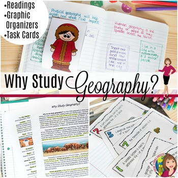
Why Study Geography? Activity on the 5 Themes of Geography
Geography is important! But do your kids think so? This is a great lesson to start off the year as you examine the topic “Why Study Geography?” This lesson begins by getting students out of their seat with a 4 Corner Debate. Your students will then take notes on pop-up expert as they study geography. The lesson concludes with task cards and a spectrum, where they have to defend their thinking. When you purchase this lesson, you will receive:-A detailed lesson plan-A reading on “Why Study Geograp
Grades:
6th - 9th
Also included in: GEOGRAPHY ACTIVITIES BUNDLE
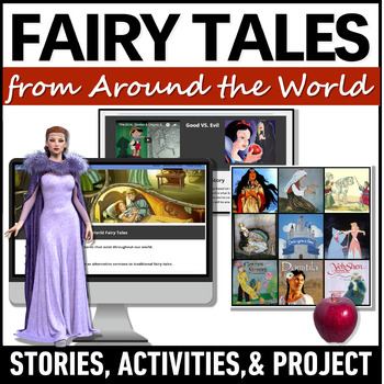
Fairy Tales Around the World - Cinderella Fairytale Variants - World Folktales
Use these enchanting fairy tales from around the world and world folktales to explore other cultures! Students will analyze Cinderella around the world stories as fairytale genre examples and examples of multicultural folk tales. This teaching unit identifies the elements of a fairy tale, includes activities on inferring the theme or moral of the story, and analyzes how a world fairytale reflect a country's unique culture.The multicultural stories chosen for this unit reveal aspects of life with
Grades:
7th - 10th
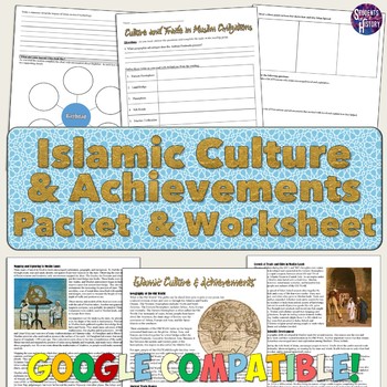
Islam Reading Packet: Achievements, Cities, and Culture
This reading packet on Islam is a thorough overview of the cultural achievements, trade routes, and cities of Islamic Civilizations!The packet includes a 5-page reading and 4-page reading guide worksheet for students to complete. All of the following topics are discussed in the reading: ⭐ Geography and the Old World⭐ The Silk Road and trade⭐ The Qur'an and 5 Pillars of Islam⭐ Achievements in astronomy, algebra, and mapping⭐ The voyages of Zheng He⭐ Baghdad, Timbuktu, and Muslim cities⭐ Caravans
Subjects:
Grades:
8th - 11th
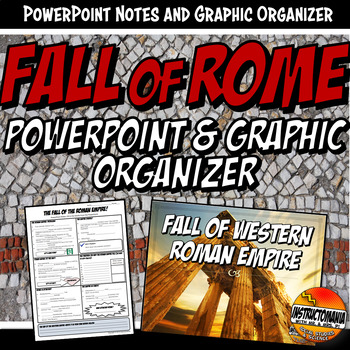
Fall of Rome PowerPoint and Graphic Organizer Bundle
This bundle includes a graphic organizer and 15-slide PowerPoint for the reasons of the Fall of The Roman Empire. The PowerPoint and Graphic Organizer discuss the fall of the Roman Empire, including 10 possible reasons with interesting facts on each slide. This presentation has fantastic graphics with maps of the empire, the split and the barbarian invasions. It also includes a great gladiator YouTube link.➖➖➖➖➖➖➖➖➖➖➖➖➖➖➖➖➖➖➖➖➖➖➖➖➖➖➖➖➖➖➖ ⭐ BE SURE TO FOLLOW US ON:TPT to receive notifications of
Subjects:
Grades:
5th - 9th
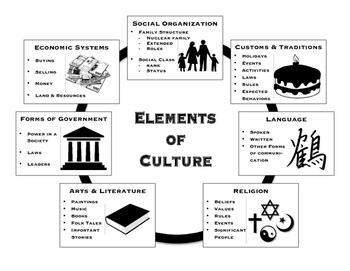
Elements of Culture - Handouts and Graphic Organizers
Included are handouts for teaching the seven elements of culture. The first handout is a basic outline format describing each of the seven elements. Handout two is a set of key questions to ask about a culture that address each element. There are also seven graphic organizers included, one for each element, that are meant to provide students space to write about a particular culture. I have added an additional graphic organizer meant to allow students to summarize the seven elements.
Suggesti
Subjects:
Grades:
5th - 10th
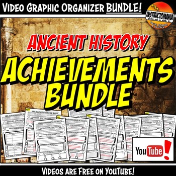
Ancient History Achievements YouTube Video Graphic Organizer Bundle Doodle Style
This bundle includes all six graphic organizers! These video resource bundles include two doodle note graphic organizer options and a video facts exit ticket printable for each civilization. These fun doodle note-themed graphic organizers are used with a free, engaging YouTube video created by Instructomania. The video series can be located at: The video series covers Egypt, India, Mesopotamia, Greece, Rome, and China. They are located at:https://goo.gl/N5Kxsg Each video 6-9 minutes long and div
Subjects:
Grades:
5th - 9th
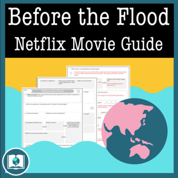
Before the Flood Movie Questions: Climate Change and Global Warming Documentary
Before the Flood is an important documentary on Climate Change presented by National Geographic and starring Leonardo DiCaprio. Climate Change is quickly becoming one of the most important issues of our time. It's our job as educators to make sure students are aware of the impact that climate change might have on their futures. Before the Flood is the perfect way to introduce the topic of climate change and environmentalism in your classroom!This resource contains four pages of questions about t
Subjects:
Grades:
9th - 12th
Also included in: Climate Change and Environmental Sustainability Bundle for High School
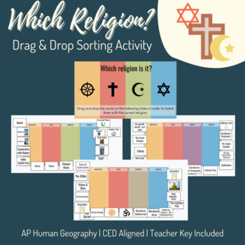
Unit 3: Religion Drag & Drop Sorting Activity - AP Human Geography
AP Human Geography Topics Covered:3.2 The Cultural Landscape3.3 Cultural Patterns 3.7 Diffusion of Religion and LanguageThis sorting activity is broken up over five slides. Each slide lists four religions and has sixteen "cards." Students sort the cards into the correct religion. I utilize this after students complete a lecture and webquest as a culminating activity and formative assessment. Teacher answer key and instructions included. Religions included: Christianity Islam Buddhism Shintoism H
Grades:
9th - 12th
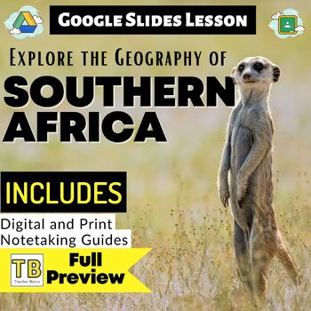
Southern Africa Google Slides World Geography Lesson
Updated:May 2023Google Slides35 Slides: Fully EditableSOUTHERN Africa Geography Google Slides lesson is a great way to teach students about the physical geography, economy, culture, standard of living, and more of the following SOUTHERN African countries: Angola, Zambia, Malawi, Mozambique, Namibia, Botswana, Zimbabwe, South Africa, Lesotho, EswatiniNote Taking GuideThe Google Slides purchase also includes EDITABLE student note-taking guide/graphic organizers (for print and digital notetaking).
Grades:
7th - 10th
Also included in: Sub-Saharan Africa Unit Bundle
Showing 1-24 of 1,793 results


