279 results
Geography homework on sale
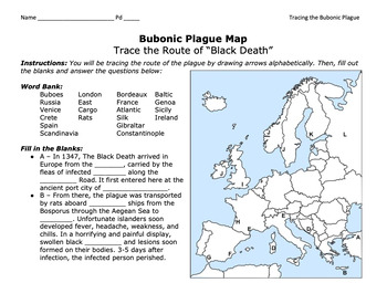
Bubonic Plague "Trace the Black Death" Map Activity 2.0 / Medieval Europe
This is a fantastic map activity to teach students characteristics of the Black Death as well as the routes along the Silk Route and sea trade routes that the Plague travelled along. Like "connect the dots," students will fill out a map, trace the plague, and answer essential questions. A key is provided.CLICK HERE for a primary source assignment on the Bubonic Plague.©Founding Fathers USA. All rights reserved by Founding Fathers USA. This product is to be used by the original downloader only. A
Subjects:
Grades:
Not Grade Specific
Types:
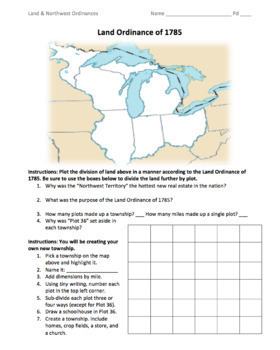
Land & Northwest Ordinances of 1785-87 / "Make Your Own Township" Simulation
This is a fantastic PDF handout to use for teaching the Land Ordinance of 1785 and the Northwest Ordinance of 1787. Students will answer fundamental questions on each act. They will then divide up the Northwest Territory into townships. They will name a township of their own, add dimensions, divide up the land into individual plots, and add homes, crop fields, churches, businesses, and a public school. On the back, students will answer more fundamental questions before creating their own "state
Grades:
5th - 12th
Types:
Also included in: 1st Semester: American Colonies to the War of 1812 Bundle
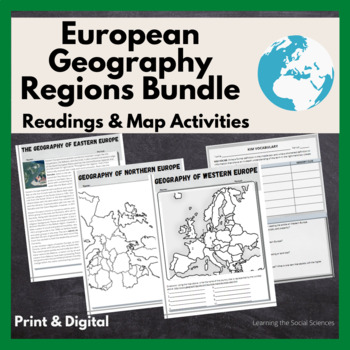
European Regional Geography Bundle Readings & Map Activities: Print & Digital
The readings explain the major geographical and cultural items of Northern, Eastern, Southern, and Western Europe.Each region comes with two map activities, one where they simply list the countries that are numbered on a map (used during distance learning) and another one where they color and label everything.The link to Google Versions is in the key section on the Microsoft Doc & PDF version.Multiple Editable Formats: I have it in multiple formats so you can utilize a version that works for
Grades:
7th - 12th
Types:
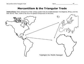
Triangular Trade & Mercantilism Map Activity / Draw Pictograms and Match Goods
This is a fantastic activity for students to learn the ins and outs of the Triangular Trade (including the Middle Passage) and mercantilism. Students will get creative and draw pictograms to represent the various goods transported over the Atlantic. On the back page, students will use a word bank to match these goods to their trade route. At the bottom, they will answer essential questions about mercantilism.©Founding Fathers USA. All rights reserved by Founding Fathers USA. This product is to b
Grades:
5th - 12th
Types:
Also included in: 1st Semester: American Colonies to the War of 1812 Bundle
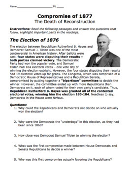
Compromise of 1877 & Military Districts Map Activity / The End of Reconstruction
This is a very resourceful activity for students to learn about the Election of 1876, Rutherford B. Hayes, Samuel J. Tilden, the Compromise of 1877, the withdrawal of military troops from the South, and the ultimate end of Reconstruction. Students will read important passages, answer essential questions, and color-code the five military districts in the South.©Founding Fathers USA. All rights reserved by Founding Fathers USA. This product is to be used by the original downloader only. Additional
Grades:
7th - 10th
Types:
Also included in: 2nd Semester: Sectionalism/Age of Jackson to Reconstruction Era Bundle
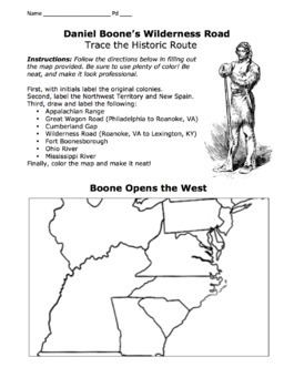
Daniel Boone's Wilderness Road Map 2.0/ Cumberland Gap, Fort Boonesborough, Etc.
I've included both a portrait-formatted AND a landscape-formatted PDF map for tracing Daniel Boone's Wilderness Road, the Appalachians, the Great Wagon Road, the Cumberland Gap, Fort Boonesborough, and other important landmarks. Please see advertised pictures of product!©Founding Fathers USA. All rights reserved by Founding Fathers USA. This product is to be used by the original downloader only. Additional teachers must purchase their own license or TpT's multiple license option.
Grades:
5th - 12th
Types:
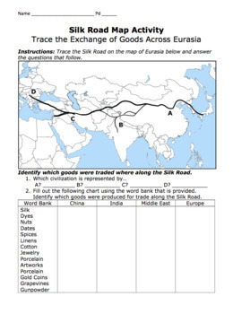
Silk Road Map Activity / Exchange of Goods Across Eurasia & Questions
Students will identify the regions along the Silk Road, as well as the goods, religions, and disease that travelled the road. They will answer important questions about the Silk Road, caravans, camels, robbers, Bubonic Plague, Marco Polo, Kublai Khan, the Yuan Dynasty, etc.©Founding Fathers USA. All rights reserved by Founding Fathers USA. This product is to be used by the original downloader only. Additional teachers must purchase their own license or TpT's multiple license option.
Grades:
5th - 12th
Types:
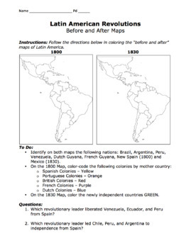
Latin American Revolutions Map / Before & After Activity / Bolivar & San Martin
This is a great map for comparing the "before and after" of the Latin American Revolutions of the 1800s. Students will compare and contrast each map as well as identify which revolutionary leader (San Martin or Bolivar) liberated which Central or South American nations.©Founding Fathers USA. All rights reserved by Founding Fathers USA. This product is to be used by the original downloader only. Additional teachers must purchase their own license or TpT's multiple license option.
Subjects:
Grades:
5th - 12th
Types:
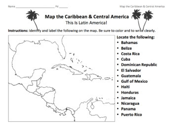
Caribbean & Central America Map / Locate the Latin American Nations
This is a simple map of the Caribbean and Central America. Students will identify the Gulf of Mexico, the Caribbean islands, and Latin American nations. Key included.©Founding Fathers USA. All rights reserved by Founding Fathers USA. This product is to be used by the original downloader only. Additional teachers must purchase their own license or TpT's multiple license option.
Subjects:
Grades:
5th - 12th
Types:
Also included in: 45+ World Maps / Map the Geographical Features of Major Countries
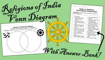
Hinduism vs. Buddhism Venn Diagram & Answer Bank / Religions of Ancient India
This is a fantastic activity for students to compare and contrast the two largest religions of India. Students will fill out the Venn Diagram and the chart on the back. An answer bank is included to assist students in filling out their diagram. Key is included.©Founding Fathers USA. All rights reserved by Founding Fathers USA. This product is to be used by the original downloader only. Additional teachers must purchase their own license or TpT's multiple license option.
Subjects:
Grades:
6th - 9th
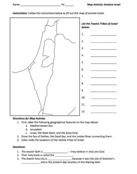
Ancient Israel Map Activity / Map the Twelve Tribes of Israel
This is a fantastic map activity for learning the geographical features of ancient Israel, including the ancestral homelands of the Twelve Tribes, i.e. Ephraim, Manasseh, Judah, Reuben, Gad, Dan, Naphtali, Asher, Issachar, Zebulon, Simeon, and Benjamin. Students will locate the Holy City of Jerusalem, the Sea of Galilee, the Dead Sea, the Jordan River, the West Bank, the Gaza Strip, etc. Finally, students will answer some basic questions on Judaism.©Founding Fathers USA. All rights reserved by F
Subjects:
Grades:
5th - 12th
Types:
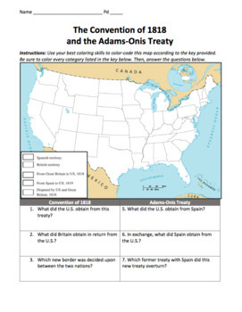
Convention of 1818 & Adams-Onis Treaty Maps / Treaties with Britain and Spain
Students will greatly benefit from this map, a visual representation of two important treaties between the U.S. and Britain (and between the U.S. and Spain). This includes the Convention of 1818 and the Adams-Onis Treaty, or the Florida Treaty. Students will follow directions by filling out this map and answering important questions below. The answer key is included.©Founding Fathers USA. All rights reserved by Founding Fathers USA. This product is to be used by the original downloader only. Add
Grades:
5th - 12th
Types:
Also included in: 1st Semester: American Colonies to the War of 1812 Bundle
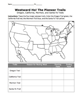
Westward Pioneers Map Activity / Oregon, Mormon, California, & Santa Fe Trails
Students will enjoy tracing the historic Oregon, Mormon, California, and Santa Fe Trails, as well as identifying their starting point, ending point, and motivations for moving westward. This is a perfect aid to help students learn the ins and outs of Westward Expansion. If you are interested in more materials on Westward Expansion, please see Unit 10: Westward Expansion below.©Founding Fathers USA. All rights reserved by Founding Fathers USA. This product is to be used by the original downloader
Grades:
5th - 12th
Types:
Also included in: 2nd Semester: Sectionalism/Age of Jackson to Reconstruction Era Bundle
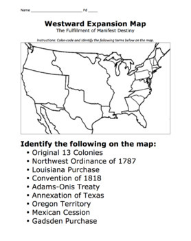
Manifest Destiny Map / Mapping Westward Expansion Activity
This is a great resource students can use to visualize the fulfillment of the Manifest Destiny of the United States. Students will color-code the maps using the list of treaties and purchases below:The Original 13 ColoniesNorthwest Ordinance of 1787Louisiana PurchaseConvention of 1818Adams-Onis TreatyTexas AnnexationOregon CountryMexican CessionGadsden Purchase©Founding Fathers USA. All rights reserved by Founding Fathers USA. This product is to be used by the original downloader only. Additiona
Grades:
5th - 12th
Types:
Also included in: 2nd Semester: Sectionalism/Age of Jackson to Reconstruction Era Bundle
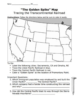
Golden Spike Map / Trace the Transcontinental Railroad, Promontory Point
This is a fantastic map that teaches students about the Transcontinental Railroad, including the Union Pacific, Central Pacific, Irish and Chinese immigrants, Promontory Point, the Golden Spike Event, etc.©Founding Fathers USA. All rights reserved by Founding Fathers USA. This product is to be used by the original downloader only. Additional teachers must purchase their own license or TpT's multiple license option.
Grades:
5th - 12th
Types:
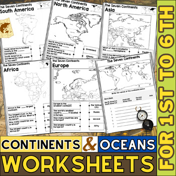
Continents and Oceans Worksheets | Blank Map | World Map with Countries
This printable page pack featuring the seven continents is an excellent tool for honing geography skills. These continents and oceans worksheet pdf will make learning about the seven major continents enjoyable for students. Utilize these maps with kindergarten, first, second, third, fourth, fifth, and sixth grade elementary students as an additional practice or as part of a social studies unit.These No prep worksheets, which teach students some fascinating facts about each continent along with p
Grades:
1st - 6th
Types:
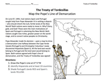
Treaty of Tordesillas (1494) / Map the Pope's Demarcation Line, Spain & Portugal
This is a great activity for students to visualize Pope Alexander VI's Line of Demarcation. Students will understand the conflict between Portugal and Spain, and the resolution that divided up the New World for colonization.©Founding Fathers USA. All rights reserved by Founding Fathers USA. This product is to be used by the original downloader only. Additional teachers must purchase their own license or TpT's multiple license option.
Subjects:
Grades:
5th - 12th
Types:
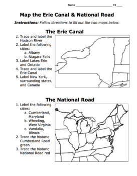
Erie Canal & National Road Map Activity / American System / Era of Good Feelings
This map will help students trace the Erie Canal and the National (Cumberland) Road of Henry Clay's American System during the Era of Good Feelings. Students will fill in the map, label important cities along the routes, etc.©Founding Fathers USA. All rights reserved by Founding Fathers USA. This product is to be used by the original downloader only. Additional teachers must purchase their own license or TpT's multiple license option.
Grades:
5th - 12th
Types:
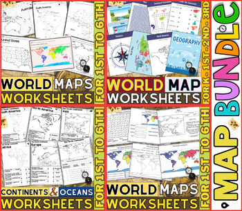
World Map Worksheets | Continents and Oceans Blank Map | 1st to 12th Grade
⭐⭐⭐⭐⭐Kids enjoy studying about the world in which they live! With the help of these entertaining printable Continents and Oceans Worksheets, they will love learning about the seven continents and the corresponding geography. For students in kindergarten, first grade, second grade, third grade, fourth grade, fifth grade and sixth grade utilize these worksheets on continents and oceans. After printing the Continents and Oceans Worksheets pdf, you can begin learning and having fun.These printable W
Grades:
PreK - 9th
Types:
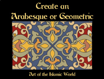
Arabesques: Create Your Own Design / Islamic Art / Middle Eastern Culture
Students will have fun learning about Middle Eastern and Islamic history and culture as they create their own arabesque or geometric. A Powerpoint of examples of arabesques and geometrics is included. Please see the product preview!©Founding Fathers USA. All rights reserved by Founding Fathers USA. This product is to be used by the original downloader only. Additional teachers must purchase their own license or TpT's multiple license option.
Subjects:
Grades:
5th - 8th
Types:
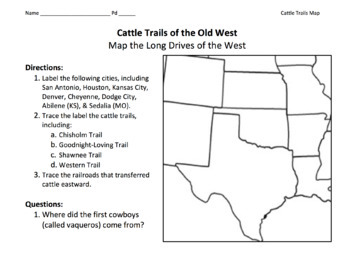
Cattle Trails of the Old West Map / Chisholm, Goodnight-Loving, Shawnee, Etc.
This is a great way for students to learn about cowboys, long drives, longhorns, cattle trails (Chisholm, Goodnight-Loving, Shawnee, and Western), open range, cow towns, barbed wire, etc.©Founding Fathers USA. All rights reserved by Founding Fathers USA. This product is to be used by the original downloader only. Additional teachers must purchase their own license or TpT's multiple license option.
Subjects:
Grades:
5th - 12th
Types:
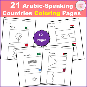
21 Arabic-Speaking Countries Coloring Pages - Flag
Discover the perfect educational tool with our "21 Arabic-Speaking Countries Coloring Pages FLAGS"! Designed to engage young minds, these pages solve the problem of learning geography and cultural awareness in a fun, interactive way. Empower children to recognize and appreciate the flags of all 21 Arabic-speaking countries through creative coloring.This clip art set contains 21 Arabic-Speaking Countries black and white line artAll the world flags you'll need, conveniently bundled in one pack.Th
Subjects:
Grades:
PreK - 12th
Types:
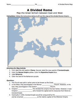
A Divided Rome Map Activity / Byzantine and Roman Empires
This map activity will enhance students' understanding of the splitting of the Roman Empire by Diocletian as well as the moving of the capital from Rome to Constantinople by Constantine. ©Founding Fathers USA. All rights reserved by Founding Fathers USA. This product is to be used by the original downloader only. Additional teachers must purchase their own license or TpT's multiple license option.
Grades:
5th - 12th
Types:
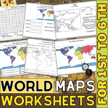
World Map Worksheets | Continents and Oceans Blank Map | 1st to 6th Grade
Kids enjoy studying about the world in which they live! With the help of these entertaining printable Continents Worksheets, they will love learning about the seven continents and the corresponding geography. For students in kindergarten, first grade, second grade, third grade, fourth grade, and fifth grade, utilize these worksheets on continents and oceans. After printing the Continents and Oceans Worksheets pdf, you can begin learning and having fun.These No Prep continent worksheets are perfe
Grades:
1st - 6th
Types:
Showing 1-24 of 279 results


