349 results
Geography lessons on sale
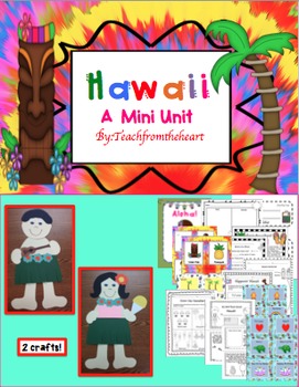
Hawaii ( A Mini Unit)
Aloha! I created this mini unit all about Hawaii for my kiddies! With so much culture and attractions, your students will feel like they just took a mini vacation! :) I have also included boarding passes to give out when you begin the unit! This is great to go with any social studies unit, too. I have also included a MINI BOOK! :)
Here's what is included:
-Hawaiian boy and girl craft (with guitar and shaved ice!) :)
-Boarding pass for girl and boy(I give these out before the unit begins)
-Aloh
Grades:
1st - 4th
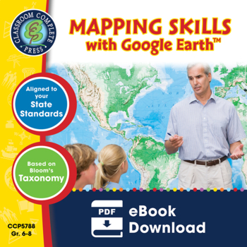
Mapping Skills with Google Earth™ Gr. 6-8
Help your middle school students move on to a more complex understanding of map reading. Our resource allows students to further develop their ability to read and understand maps. About this Resource: Practice what you've learned about coordinates by finding the matching countries on Google Earth™. Test your comprehension of a precipitation map by answering questions related to a map of North America. Explore the past with Google Earth™, and see how the population of certain places have changed
Grades:
6th - 8th
Types:
Also included in: Mapping Skills with Google Earth BIG BOOK - BUNDLE
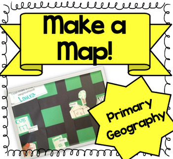
Let's Make a Map! {A Map-Making Activity for Primary Geography Unit}
Product Information: This is a simple, yet effective activity to teach students about maps. It is part of our Social Studies Geography unit. I print this printable, and give each student:-copy of labels (this printable)-a big piece of green construction paper-black strips to make roads-white squares to draw buildings and housesI introduce the lesson by:-showing real maps or online maps-talking about community and what our community looks like-brainstorming what places are by my houseThen the k
Grades:
K - 3rd
Types:
Also included in: Kindergarten Geography Bundle
Geography Bundle | Map Skills, Labeling, Questions for Atlas & Internet (K-12)
Geography Bundle - Map Skills - United States Geography - World Geography - Maps - Map Questions - for Atlas & Internet (K-12). Help the pilot navigate, while narrating scenic features over the intercom with your career-long geography bundle. Spatial learning abounds with basic locations of states, countries, and cities. Teach search techniques with questions and transfer information with labeling. About the collection:Maps are zipped in PDF. Resize maps or outline in Sharpie for any cl
Grades:
K - 8th
Types:
Also included in: 5th Grade Bundle
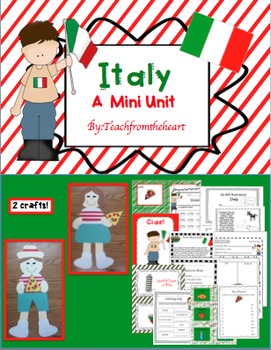
Italy (A Mini Unit)
I created this mini unit all about Italy for my kiddies! With so much culture and attractions, your students will feel like they just took a mini vacation! :) I have also included boarding passes to give out when you begin the unit! This is great to go with any social studies unit, too. I have also included a MINI BOOK! :)
Here's what is included:
-Italian boy and girl craft (with pizza) :)
-Boarding pass for girl and boy(I give these out before the unit begins)
-Ciao poster to hang up in your
Subjects:
Grades:
1st - 4th
Morning Work Bundle (4th, 5th, 6th Grade)
Morning Work Bundle (4th, 5th, 6th Grade) - 532 Worksheets & Printables. A morning work bundle for upper elementary. Use the many art illustrations as a springboard into writing prompts.• Worksheets travel nicely between grade levels. • Meets 65-82% of Common Core Writing Literacy Standards for grades 3-7. Click links for full previews. You get the following:1. Editing - 12 Printable Prompts• Labor Day• Haunted House• Winter Solstice• Sled Racing• White House Easter Egg Roll• Valentine's Day
Subjects:
Grades:
4th - 7th
Types:
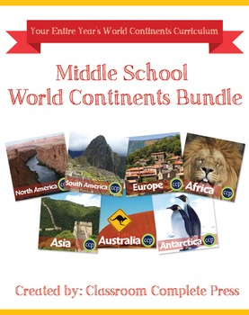
Middle School World Continents Bundle Gr. 5-8
This Middle School World Continents Bundle for grades 5-8 is your ENTIRE YEAR'S WORLD CONTINENTS CURRICULUM in one bundle. Filled with EXTENSIVE reading passages, ENGAGING activities, and FULL COLOR maps, and COMPREHENSION questions that cover your State Standards, and written to Bloom's Taxonomy. The activities in this bundle can be used for whole-group, small group, or individual work. NO PREP necessary, just print!This BUNDLE includes 420 pages and will provide you with an ENTIRE YEAR of Wor
Grades:
5th - 8th
Types:
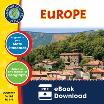
Europe Gr. 5-8
Journey to the ancient centers of culture and trade with a trip to Europe. About this Resource: Understand the variety of ecosystems that inhabit the continent with a climate map. Gain a sense of direction by identifying the European cities that are found in the western and eastern hemispheres. Do some research into the famed Thames river and find out how long it is, which countries it passes through, and into which large body of water it flows into. Learn about the accident at Chernobyl and wha
Grades:
5th - 8th
Types:
Also included in: Middle School World Continents Bundle Gr. 5-8
Mapping Skills with Google Earth: How to Read a Map Gr. PK-2
This is the chapter slice "How to Read a Map" from the full lesson plan "Mapping Skills with Google Earth"About the FULL RESOURCE:Teach your students the basics of map reading with our engaging resource designed for students in grades prekindergarten to two. Start with the elements found on a map, such as symbols, legends and the compass rose. Then, have your students apply what they’ve learned by mapping their classroom and route to school. Move on to the Great Lakes of North America and the se
Subjects:
Grades:
PreK - 2nd
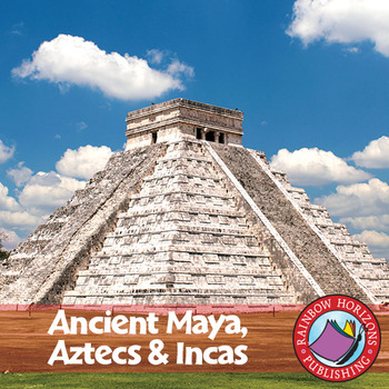
Ancient Maya, Aztecs & Incas Gr. 4-6
This thematic, integrated unit about the Mayas, Aztecs, and Incas will provide both the teacher and the students with a broad understanding of the topic.
About this Resource:
The unit starts off with core teaching lessons to build a base for knowledge, followed by student worksheets that compliment the core lessons. Optional lessons are included to add a degree of flexibility and possible enrichment activities to the lesson. The unit finishes off with a major project that allows students to de
Subjects:
Grades:
4th - 6th
Types:
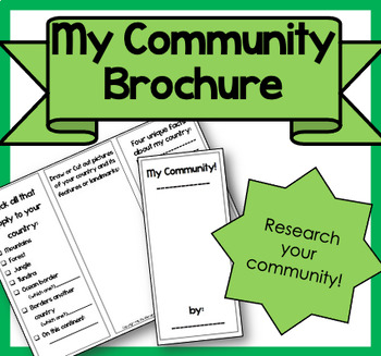
My Community Brochure!
Product Information: This is a printable brochure to supplement any Community Unit or lesson. For this brochure, students will need to research the following facts about their community:PopulationYear foundedRestaurants, shopping, attractionsSchools, libraries, parksRural, Suburban, UrbanNatural features (lake, mountains, river, etc.)3 unique facts about their communityStudents can draw, write facts or cut out pictures to fill their brochure. Creativity is encouraged! It can be used as homewor
Subjects:
Grades:
2nd - 5th
Types:
South America Gr. 5-8
Become aware of the endangered environment and wildlife that inhabit South America. About this Resource: Get familiar with the Caribbean Region, one of the world's most sought-after tourist destinations. Describe the relative location of Chile using the features around it. Discover how the Andes Mountains and the Pampas are different. Do some research in the Amazon River, the most famous river in the world. Use the Wildlife Organizer to find the different kinds of wildlife that are unique to the
Grades:
5th - 8th
Types:
Also included in: Middle School World Continents Bundle Gr. 5-8
Mapping Skills with Google Earth: Latitude, Longitude and Time Zones Gr. 3-5
This is the chapter slice "Latitude, Longitude and Time Zones" from the full lesson plan "Mapping Skills with Google Earth"About the FULL RESOURCE:Students will learn in-depth how to read and create maps with our engaging resource designed for students in grades three to five. Students will expand their knowledge of the elements on a map by exploring the lines of latitude, longitude and time zones. Then, students will learn about geographical and cultural features by exploring topographic and ch
Subjects:
Grades:
3rd - 5th
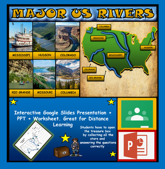
The US Major Rivers : Google Slides. Mississippi. Colorado. Hudson + Worksheets
The US Major Rivers : Google Slides, Distance Learning + Powerpoint Version + Worksheets. Interactive presentation & quiz on US major rivers. Please view the video previewINTERACTIVE GOOGLE SLIDES/POWER POINT PRESENTATION on The US major rivers. It can be used for distance learning and google classroom or on a interactive smartboard in the classroom.Once downloaded: Please view the GOOGLE SLIDES/POWERPOINT IN 'PRESENT ▶️' modeWorksheet also included in ZIP file 'Label the US rivers'. This is
Subjects:
Grades:
2nd - 7th
Also included in: U.S.A Geography Bundle: Google Slides Presentations + PPT's + Worksheets
Antarctica Gr. 5-8
Go on an exhibition to the South Pole as you explore the harsh climate of Antarctica. About this Resource: Study the ice, atmosphere, magnetic field, and greenhouse effect over this vast continent. Draw the locations of research stations inhabiting Antarctica. Understand how Antarctica's temperatures can result in surface ice two miles thick. Become a scientist and research the atmosphere above Antarctica. Find ways in which scientists move around Antarctica without roads or highways. Compare An
Grades:
5th - 8th
Types:
Also included in: Middle School World Continents Bundle Gr. 5-8
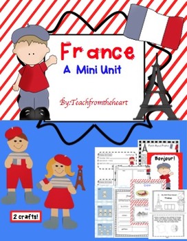
France (A Mini Unit)
I created this mini unit all about France for my kiddies! With so much culture and attractions, your students will feel like they just took a mini vacation! :) I have also included boarding passes to give out when you begin the unit! This is great to go with any social studies unit, too. I have also included a MINI BOOK! :)
Here's what is included:
-French boy and girl craft (with Eiffel Tower and flag) :)
-Bonjour poster to hang up in your room
-Food, Architecture, Holidays, Location chart
-F
Subjects:
Grades:
1st - 4th
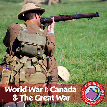
World War I: Canada & The Great War Gr. 7-9
Conflict is the central theme of this accurate account of the First World War.
About this Resource:
The unit emphasizes the integral role Canada played in the war, with topics ranging from life in the trenches, the Battle of the Somme, to the Battle of Vimy Ridge. The unit is divided into three parts combining optional lessons and a pictorial history suitable for colouring with the main, information-based body of the unit. Optional lessons include a review, exam, and a newspaper story on the
Subjects:
Grades:
7th - 9th
Types:
Mapping Skills with Google Earth™ Gr. 3-5
Extend the basic knowledge of map reading to give your elementary students a thorough understanding of maps. Our resource allows students to learn in-depth how to read and create maps.About this Resource: Explore all the elements on a map, such as scale, index, grid system, and surrounding area. Take your understanding of a grid system one step further by examining lines of latitude and longitude. Compare the different times zones found in your country. Learn about topographic maps before explo
Grades:
3rd - 5th
Types:
Also included in: Mapping Skills with Google Earth BIG BOOK - BUNDLE
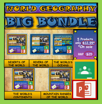
World Geography Bundle: Google Slides Presentations + PPT's + Worksheets
World Geography Bundle: Google Slides Presentations + PPT's + Worksheets5 Products included in this bundle covering several main topics regarding World GeographyPlease watch the preview video of 'The World's Oceans' before purchasing this bundle - to understand the depth of content, the quality and interactivity of these presentations. All presentation follow the same layout and have good quality design.Google Slides/PPT Presentations included in this bundle:Mountain Ranges Of The WorldRivers Of
Subjects:
Grades:
3rd - 8th
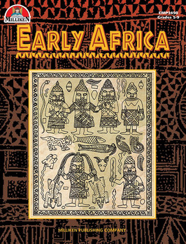
Early Africa
Explore the fascinating kingdoms of ancient Africa! This book covers the mighty African kingdoms of Ghana, Mali, and Songhay--rich in culture and tradition--that sprang up along the continent s west coast as far back as 300 B.C. Rivaling the great ancient civilizations of Egypt, Greece, and Rome, these early African cultures, through strength and ingenuity, overcame tremendous odds in adapting to the often harsh African climate and environment. Special emphasis is given to the rich tradition of
Grades:
5th - 9th
Types:
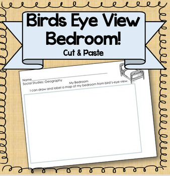
Birds Eye View Map: Primary Geography Activity!
Product Information: This is a simple printable to help teach the concept of map making. Students draw their bedroom from birds-eye view, labeling each piece of furniture. Get the bundle! This resource is part of a BUNDLE! If you are interested in using more than one of this kind of activity, consider purchasing the bundle for a steep discount! Related Resources: If you're interested in other primary Social Studies resources, check out these links! Nation, State, CommunityGeography PacketMake a
Subjects:
Grades:
K - 3rd
Types:
Also included in: Kindergarten Geography Bundle
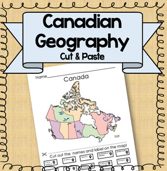
Canadian Map Provinces and Territories {Geography Cut and Paste Activity!}
Product Information: What are the territories and provinces in Canada? This is a fun cut and paste activity that would useful for centers, group work, quiz, homework. Students simply cut out the names at the bottom and glue them in the appropriate places. Two options are included, one with a location guide, and one without. Answer key is included! Geography Resources: Landform ActivitiesMountains of the WorldOceans of the WorldIslands of the WorldSeas of the WorldRainforests of the WorldDeserts
Grades:
5th - 8th
Types:
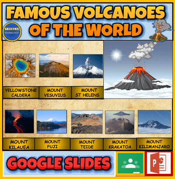
Famous Volcanoes Of The World: Earth Science: Interactive Powerpoint
Famous Volcanoes Of The World: Volcanology: Interactive Powerpoint + Google Slides Version + 2 Printable WorksheetsInteractive presentation & quiz on Famous Volcanoes Of The World. Please watch the preview video to get an understanding of how this product worksINTERACTIVE GOOGLE SLIDES/POWER POINT PRESENTATION on Famous Volcanoes Of The WorldThe presentation is interactive, animated and fun to use.The presentation can be presented to the class by the teacher and students can view also it ind
Subjects:
Grades:
4th - 9th
Australia Gr. 5-8
Go down under and escape to a whole new world in Australia. About this Resource: Take a vacation and visit the many islands that make up the Melanesian region. Find the exact location of 10 cities in Australia using their latitude and longitude coordinates. Examine the unique wildlife species Australia's island continent has to offer. Research and collect facts about the Great Barrier Reef using the Undersea Organizer. Explore the largest ports in Australia, like Sydney and Melbourne, and comple
Grades:
5th - 8th
Types:
Also included in: Middle School World Continents Bundle Gr. 5-8
Showing 1-24 of 349 results


