882 results
Geography worksheets on sale
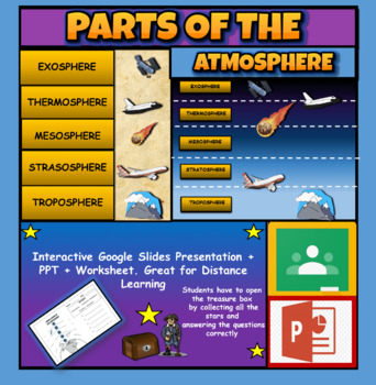
Layers Of The Atmosphere: Interactive Google Slides + PPT Version + Worksheet
Layers Of The Atmosphere: Interactive Google Slides + PPT + Worksheet (Distance Learning)Interactive presentation & quiz on Layers of the atmosphere. Please view the powerpoint previewINTERACTIVE GOOGLE SLIDES/POWER POINT PRESENTATION on layers of the atmosphere. It can be used for distance learning and google classroom or within the classroom.Once downloaded: Please view the GOOGLE SLIDES/POWERPOINT IN 'PRESENT ▶️' modeWorksheet also included in ZIP file 'Parts of the atmosphere' .These are
Subjects:
Grades:
3rd - 8th
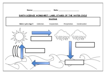
Earth Science worksheet: Label stages of the water cycle
Earth Science worksheet: Label stages of the water cycle2 VERSIONS OF WORKSHEET (Worksheet with a word bank & Worksheet with no word bank)Students have to label the stages of water cycle by looking at the diagram (Evaporation, Collection, Precipitation and Condensation)Students can color in the pictures they are doneWorksheet aimed at higher kindergarten/lower primary levelAnswer Key includedBoth PDF and Editable Word Versions included within the ZIP file
Subjects:
Grades:
K - 6th
Types:
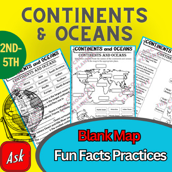
Continents And Oceans | Maps & Globes 7 Continets & Oceans | Facts Activities
Learning about continents and oceans on a map is a great way to engage students and help them remember all seven continents and major oceans in geography. This resource provides tons of practice on maps to help your kids identify the continents and oceans, as well as learn fun new information about each continent and ocean.The facts about continents and oceans are designed in different interactive formats to help your kids engage and have fun while completing them.As there are many questions reg
Subjects:
Grades:
2nd - 5th
Types:
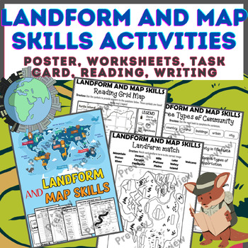
Landform & Map Skills Activity (Poster, Worksheets, Task card, Reading, Writing
Let's spice up your landform and map skills lessons and make learning super fun for your second, third, and fourth-grade students. This Landform & Map Skills Activity (Poster, Worksheets, Task card, Reading, Writing resource covers cool topics like maps, globes, continents, oceans, landforms, suburban, urban, rural areas, directions, and more!The best part? You can use these map skills and landform activities during whole group instruction, independent work, or center time. It's all about fl
Grades:
3rd - 5th
Types:
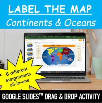
Label the Map - Continents and Oceans | Google Slides™ Drag & Drop Activity
Let your students have fun labeling Earth’s 7 continents and 5 oceans with this interactive mapping Google Slides™ Drag & Drop Activity. The digital resource comes with 6 different assignments all-in-one, as well as two different color schemes. The activity is designed for Google Classroom users, but can ALSO be downloaded, printed and used as a handout in the classroom. Pick and choose what best serves your classroom. Click HERE if you want a cut and paste version of the same activity with
Subjects:
Grades:
Not Grade Specific
Types:
Map Skills - Performance Tasks
Maps performance tasks! Here are two performance tasks that I created and used with my first grade students when we completed our unit. We actually did a practice run creating a map of our classroom early in the unit so they had experience doing something very similar to this. Updated with new BW graphics and fonts. Students get to name their own farm and playground to create the maps. They really did a great job with these and most were easily able to show Proficiency. For each map, I gave t
Subjects:
Grades:
1st - 2nd
Types:
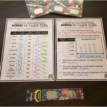
SOLAR ECLIPSE (MATH, SCIENCE, SS)
Are you looking for a fun activity way to teach about solar eclipses?! This will be perfect for you! This activity integrates Social Studies, Science, and MATH!August 2017 ECLIPSE MAGNITUDES: Across the United States- Students look at a map and determine the states of each city listed on the table.- Next, they convert each percent (magnitude) to a fraction.- Then they simplify the fractions to lowest terms.- Finally the students create a line plot using the percent data and answer questions!I al
Subjects:
Grades:
4th - 6th
Types:
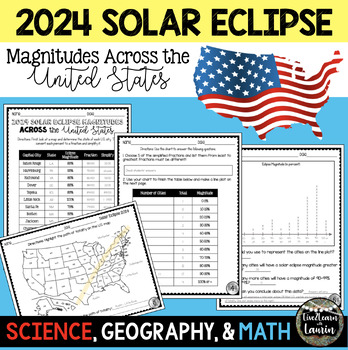
2024 SOLAR ECLIPSE MAGNITUDES ACROSS UNITED STATES - STATE CAPITALS
Are you looking for a fun activity on Solar Eclipse Day that is not busy work? This Solar Eclipse Activity integrates Science, Geography and MATH! Students handle REAL and RAW DATA about the magnitudes (for the April 8, 2024) for each state capital across the United States all while ... converting percents to fractionssimplifying fractionsordering fractionsmaking line plotsanalyzing datausing mapsreviewing state abbreviationsThis is geared towards 4th grade Math standards, but would make great p
Subjects:
Grades:
4th - 8th
Types:
7 Continents Coloring Page
Basic coloring sheet for the continents and oceans
Subjects:
Grades:
PreK - 4th
Types:
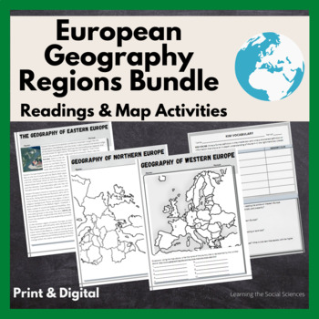
European Regional Geography Bundle Readings & Map Activities: Print & Digital
The readings explain the major geographical and cultural items of Northern, Eastern, Southern, and Western Europe.Each region comes with two map activities, one where they simply list the countries that are numbered on a map (used during distance learning) and another one where they color and label everything.The link to Google Versions is in the key section on the Microsoft Doc & PDF version.Multiple Editable Formats: I have it in multiple formats so you can utilize a version that works for
Grades:
7th - 12th
Types:
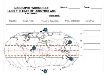
Geography worksheet: Label the lines of longitude and latitude
Geography worksheet: Label the lines of longitude and latitudeStudents have to label the lines of latitude and longitude with the correct names (Equator, South Pole, Tropic of Capricorn, Tropic of Cancer, North Pole)Worksheet aimed at primary level/ high school levelStudent can color in the world map when they are finishedAnswer key included on second page.
Subjects:
Grades:
2nd - 7th
Types:
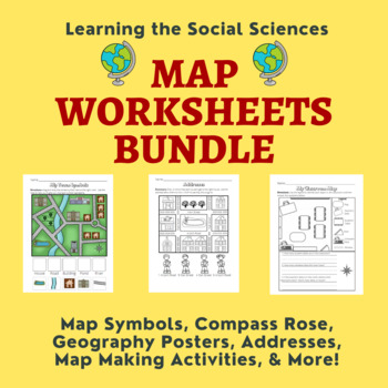
Map Skills Bundle: Symbols, Compass Rose, Globe, Maps, & More
This growing bundle (landforms still to come!!!) contains 50 worksheets, a printable book, geography posters, and a PDF book on maps! Plenty of resources to help you teach about maps!Items from the Map Worksheets Product:Map symbols cut and paste (or drag and drop)Neighborhood streets coloring & writing sheetColor items on the write streetCut and paste symbols & street namesIdentify items using street names (2 different worksheets)Draw a line to help the student get homeColor the house
Grades:
K - 1st
Types:
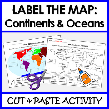
Label Continents and Oceans | Cut & Paste Sorting Activity
Let your students have fun with this cut and paste activity labelling Earth’s 7 continents and 5 oceans. This NO PREP resource provides your students with hands-on opportunity to practice labeling the continents and oceans on a world map. Three different options for a variety of practice: label the continents, label the oceans, or label BOTH the continents and oceans.Click HERE if you want a digital drag and drop version of the same activity designed for Google Slides. This product includes:Cut
Subjects:
Grades:
1st - 4th
Types:
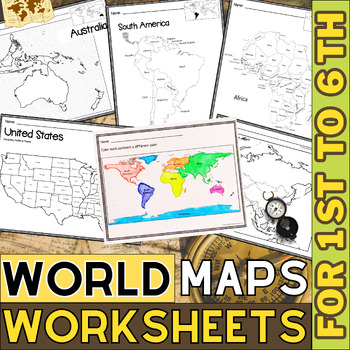
World Map with Countries | Continents and Oceans Blank Map | 1st to 12th Grade
These printable maps will be useful whether you are studying geography, world history, countries around the world, or you are just trying to show your kids the route you are taking on your next vacation! For kids learning about states, we've included a printable map of the world, as well as maps of North and South America, Europe, Asia, Australia, Africa, and Antarctica. Furthermore, the world map printable set comprises labeled and blank options for printing. To print the printable map PDF file
Grades:
K - 12th
Types:
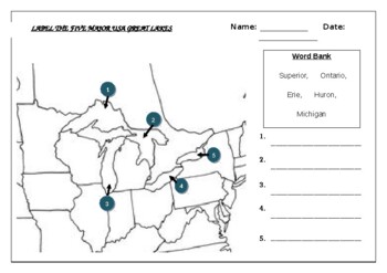
Geography worksheet: Label the five great lakes (USA)
Geography worksheet: Label the five great lakes (USA)Students have to label the major USA rivers (Ontario, Erie, Michigan, Superior, Huron)2 Versions include (B+W and a clearer Color map) Word bank/No word bank versions providedAnswer key included on the last page
Subjects:
Grades:
3rd - 8th
Types:
Also included in: Geography worksheets: USA Bundle (10 worksheets, 70%+ off)
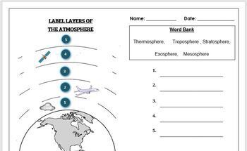
Earth Science Worksheet: Label the layers of the Atmosphere
Earth Science Worksheet: Label the layers of the atmosphereStudents have to label the layers of the atmosphere by looking at the numbers Students can color in the worksheet once they are doneWorksheet aimed at primary level/ high school levelAnswer key included on page 2
Subjects:
Grades:
K - 8th
Types:
Winter Activities
Winter Activities - Map SkillsHere are 2 performance tasks that I created and used with my first grade students this year when we completed our Map Skills Unit. We actually did a practice run creating a map of our classroom early in the unit so they had experience doing something very similar to this.Students get to name their own Winterland and Holiday Town to create the maps. They really did a great job with these and most were easily able to show Proficiency. For each map, I gave the optio
Subjects:
Grades:
1st - 3rd
Types:
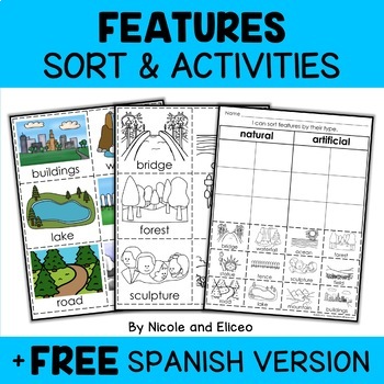
Physical Features Sort Activities + FREE Spanish
Boost engagement with this fun, interactive resource about physical and man-made features. It includes vocabulary cards, individual and group sorting activities, graphic organizers, a coloring sheet, a word building activity, a drawing sheet and more! It works great for boosting academic vocabulary while learning and reviewing the content. This resource was created by Nikki and Nacho - previously known as Nicole and Eliceo.TEACHER-FRlENDLY FEATURESThis resource has been teacher-tested and approv
Subjects:
Grades:
PreK - 1st
Types:
Also included in: Social Studies Sort Activities Bundle + FREE Spanish
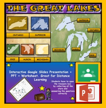
The Great Lakes: Interactive Google Slides, Distance Learning + PPT + Worksheet
The Great Lakes: Interactive Google Slides + PPT + Worksheet (DL)Interactive presentation & quiz on The Great Lakes of Northern America. Please view the powerpoint previewINTERACTIVE GOOGLE SLIDES/POWER POINT PRESENTATION on the five great lakes . It can be used for distance learning and google classroom or within the classroom.Once downloaded: Please view the GOOGLE SLIDES/POWERPOINT IN 'PRESENT ▶️' modeWorksheet also included in ZIP file 'Label the great lakes' .This is a word files.docx a
Grades:
2nd - 8th
Also included in: U.S.A Geography Bundle: Google Slides Presentations + PPT's + Worksheets
Early Finishers ACTIVITIES PUZZLES,History,Geography,Landmarks,Economics BUNDLE
Introducing the Ultimate Educational Resource Bundle! Packed with a diverse range of topics spanning subjects like History,Geography ,Social studies, Science, Reading, and Novel Study, as well as special occasions and holidays. Ideal for early finishers, morning exercises, writing prompts, vocabulary expansion, and much more. Elevate your teaching toolkit with this versatile collection designed to engage learners year-round!(100 % Digital Download)This resource is useful for:Vocabulary and
Grades:
3rd - 10th
Types:
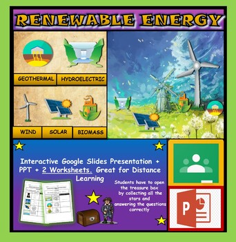
Renewable Energy Sources: Interactive Google Slides + PPT + 2 Worksheets
Renewable Energy Sources: Interactive Google Slides + PPT + 2 Worksheets (DL)Interactive presentation & quiz on Renewable Energy sources. Please view the powerpoint previewINTERACTIVE GOOGLE SLIDES/POWER POINT PRESENTATION on renewable energy resources. It can be used for distance learning and google classroom or within the classroom.Once downloaded: Please view the GOOGLE SLIDES/POWERPOINT IN 'PRESENT ▶️' mode2 Worksheets also included in ZIP file 'Renewable energy sources' and 'Renewable e
Subjects:
Grades:
1st - 6th
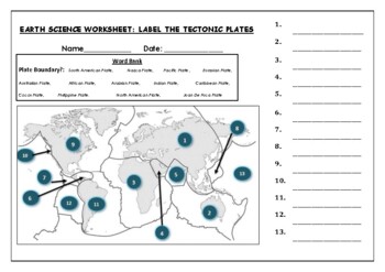
Earth Science worksheets: Label the tectonic plates
Earth Science worksheets: Label the tectonic platesStudents have to identify and label the major tectonic plates Word bank providedWorksheet aimed at higher elementary science lebel
Subjects:
Grades:
3rd - 8th
Types:

Continent Asia Reading Comprehension | Asian History Geography and Culture
Discover the multifaceted wonders of Asia with our comprehensive reading bundle! Delve into the rich history, diverse geography, vibrant cultures, ancient religions, myriad languages, captivating art, enchanting music, traditional dances, and mouthwatering cuisine of Asia. These engaging worksheets are designed to enhance reading comprehension and foster a deeper understanding of the complexities and beauty of the Asian continent. Download now to embark on an enlightening journey through Asia!As
Grades:
5th - 12th
Types:
World Geography MEGA Bundle
Contains slides for all 14 chapters, guided notes for all 14 chapters, and lots of extras! Bundle and SAVE!
Grades:
8th - 9th
Showing 1-24 of 882 results


