809 results
Geography workbooks under $5
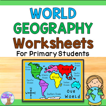
World Geography Worksheets 1st & 2nd Grade - Continents & Oceans
Use this 10-page work booklet with world maps (continents, countries, oceans, and equator), continents match up game, word wall cards, quiz, and word search to introduce world geography concepts to your primary students! *Please note: The maps in this pack show the fifth ocean – the Southern Ocean (or Antarctic Ocean) recognized in the year 2000.*★ Click to follow me and be notified when new resources are added to my store!
Subjects:
Grades:
1st - 2nd
Types:
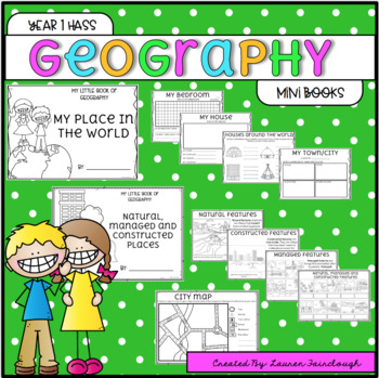
Year 1 HASS Geography
Year 1 HASS - Geography. My Place in the World. Natural, Managed and Constructed Features. This pack features two mini books that your students will love completing as they examine and explore their world and places that are significant to them! The "My Place in the World" is provided in a mini book, and a full size book option! The following pages are included!My place in the world- My bedroom- My house- Houses around the world- My City/Town- My State (Aus State outlines are included for stude
Subjects:
Grades:
1st
Types:
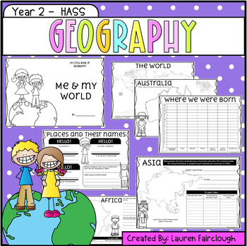
Year Two HASS - Geography
This Year Two Geography book is the perfect no prep supplement to your HASS program! The book enables students to examine their connections with the world and their connections to special places. Take a deeper look at the continents of the word and briefly explore the features and countries in each continent. The following pages are included:* The World - continent labelling* The World - labelling of longitudinal lines* Where were we born graphing* Australia and Oceania* Australia - state labell
Subjects:
Grades:
2nd
Types:
COMPANION WORKBOOK for Interactive Notebook World Cultures and Geography
This workbook was created as a companion to the interactive notebook that I created to comply with the TEKS (Texas Essential Knowledge and Skills) for 6th grade social studies.
You can use the half-page activities in this workbook as practices, warm-ups/bell-ringers, or short quizzes. Each exercise comes with an answer key.
I tried to provide a variety of activities (a total of 32) that you can use in correlation with your world cultures and geography interactive notebook.
CONTENTS:
Five Th
Grades:
3rd - 12th
Types:
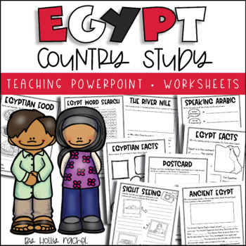
All About Egypt - Country Study
Your students will love learning all about Egypt with this fun country study! Included is an all about Egypt Powerpoint presentation (.pptx) to teach your class all about Egypt, the capital city, flag, food, language, famous landmarks, The River Nile and Ancient Egypt! Student activity worksheets are also included based on the facts in the Powerpoint (all differentiated on two levels to support the different abilities in your class), plus a Egypt word search, postcard activity and favorite facts
Subjects:
Grades:
1st - 3rd
Also included in: Country Study Bundle
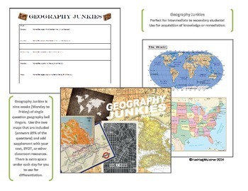
Geography Junkies Nine Week Bell Ringer--United States
**A new Asia and Africa version of the Geography Junkies Nine Weeks Bell Ringer is live!**
Do your students need to know their place in the world? Even if you're not teaching geography, you can teach geography! There are only so many times you can hear "Africa" as the answer to "name a country in South America?" before you know something needs to be done.
This is a nine-week, one question per day, geography unit. It focuses on basic components (continents, oceans, US state locations, and ba
Grades:
4th - 10th
Types:
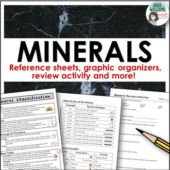
Minerals - Properties and Identifcation Lab / Activity
Minerals - Reference Sheets and More for working on a mineral unit! This pack includes reference sheets about how to identify minerals, two handy charts to help students identify luster and figure out a mineral's hardness, a mineral review activity, two-page graphic organizer for minerals, and a mineral chart if you were to do a lab activity. Answer keys are included for the review activity and graphic organizers.
Subjects:
Grades:
7th - 10th
Also included in: Rocks and Minerals - Types of Rocks, Rock Cycle, Minerals and More!
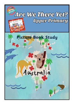
Picture Book Study: Are we there yet? by Alison Lester Comprehension, Activities
Are we there yet? by Alison Lester
Join Grace and her family as they travel around Australia, taking in many of the natural and man made attractions.
Picture Book Study
This 14 page workbook contains reading comprehension questions for each section of the picture book, Are we there yet? It also contains reading comprehension strategy worksheets for Cause and Effect, and Fact and Opinion, to use with the book. It has a postcard writing task and crossword puzzle.
Contains:
Before Reading (w
Subjects:
Grades:
3rd - 6th
Types:
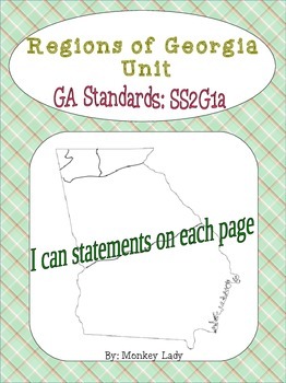
Georgia Regions Unit
I made this unit to help my students learn to locate and label the 5 regions of Georgia. Some pages include some simple questions about the regions to help prepare them for a test on the subject. The pages that focus on specific regions are good for taking notes during this unit. I hope you enjoy!
Includes:
-10 pages of Georgia regions practice
- 5 of those pages focus on each region
- the other 5 encompass all regions
Focus on Georgia GPS:
SS2G1: The student will locate major topographical f
Subjects:
Grades:
1st - 3rd
Types:
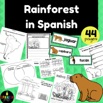
Rainforest in Spanish (La selva tropical amazonica)
Rainforest in Spanish (La selva tropical y/o la selva amazonica) This resource is in Spanish. Ideal for students in bilingual, dual language or some FLES students. Would work for a variety of grade levels (1st-3rd). This resource includes 43 pages of printables in Spanish about the Rainforest. 27- Vocabulary Cards (in color)9- 5 datos de ____ (where students could research and record facts about some animals from the rainforest)1- Map of South America (Where students could draw in where the Amaz
Subjects:
Grades:
1st - 3rd
Types:
The United States in Spatial Terms: A Geography Student Packet
This student packet contains 4-7 pages for each lesson on:
1. Where is the United States located?: A look at continents, North America, the equator, the prime meridian, and latitude and longitude
2. Physical Characteristics of the United States: mountains, deserts, rivers, lakes
3. Human Characteristics of the United States: positive and negative consequences of human characteristics, relation to natural characteristics, cities, and highways
4. Using Special Purpose Maps to Learn about the Unit
Subjects:
Grades:
3rd - 5th
Types:
Where Do I Live? Geography Reading Writing Visual Art Book Making
This Easy Fold Step Booklet follows up on the book "Where Do I Live?" By: Neil Chesanow.
Let students enjoy illustrating their personal world they live in from a very small scale (Home/Apartment) to a very gigantic scale (planet).
This booklet allows kids to write(Print) and illustrate their own personal geographical place in the world including their Home, Street, Town/City, State, Country, Continent, and finally, their Planet while exploring the concept of world geography.
I recommend re
Subjects:
Grades:
K - 6th
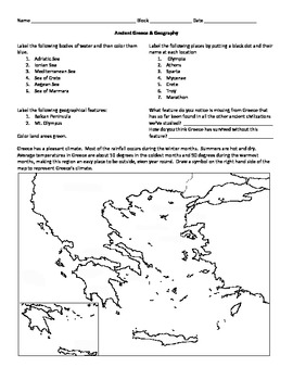
Ancient Greece Map Activity
Students can color and label parts of ancient Greece on this printable map. Google Products:Demise of the IncasIraq National Museum - Research and Art Project in Google Slides and DocsGalileo on Trial PackageHammurabi's Code PackageSumerian Civilization PackageTraditional ProductsEasy Ancient Americas SummariesEasy Byzantine Empire SummariesEasy Ancient Civilizations ReviewEasy Early Colonies SummariesEasy Egypt Summaries 1Easy Egypt Summaries 2Easy Greece SummariesEasy Golden Age of Islam Summa
Subjects:
Grades:
6th
Types:
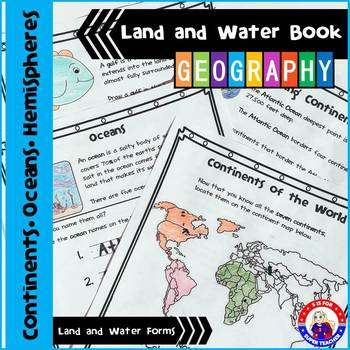
Geography - Land and Water Book - NO PREP
I LOVE this packet, you can either use the activity pages individually or as a book for your geography unit (cover included). In my class, we use this packet to learn more about geography and to practice research skills. The students use an atlas,' the globe, and the internet to help them discover the answers! On each page, there is a definition and an activity to support it!
You can watch a short video at this Link:
https://www.youtube.com/watch?v=iBt_mHMaBUs
Included:
1. Continents of the
Grades:
K - 4th
Types:
The Geography of Michigan: A Student Work Packet
This complete student workbook is an 8-lesson companion to the Michigan Citizenship Collaborative Curriculum (MC3) Social Studies Unit 1 covering the geography of Michigan! Included are reading passages with comprehension questions, special purpose maps, vocabulary pages for each lesson, and much more! Lessons included are:
-Vegetation
-Landforms and bodies of water
-Movement
-Human/environment interaction
-Location
Subjects:
Grades:
3rd
Human Geography of the United States: A Student Work Packet
Here it is: Unit 3- The Human Geography of the United States! This packet includes student activities, writing, and reading passages that all correspond to 4th Grade MC3 Unit 3. Each lesson comes with at least 5 pages of independent learning practice. These lessons are:
1. Questions Geographers Ask about Human Geography- An introduction to the themes of movement and human/environment interaction, including reading special purpose maps
2. Movement- Push and Pull Factors: A study of movement withi
Grades:
3rd - 5th
Types:
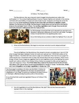
US History: The 1783 Treaty of Paris
EDITABLE reading comprehension packet on the political negotiations that led to the end of the Revolutionary War with the Second Treaty of Paris. Packet includes key information, pictures for visual learners, and reading comprehension questions with space to answer them right on the page.
Grades:
7th - 12th
Types:
Road Trip Activities & Vacation Journal - Family Trip Fun Homework Worksheets
Simplify those last-minute requests for schoolwork to take on family vacations! Just print these NO PREP Road Trip Activities & Vacation Journal pages, and you’re done! The pages contain ELA, Math and Geography tasks that your students will enjoy, and will help them to create lasting memories of their trip.Instructions and tasks are clear and easy to understand for students and parents. You could even print these out at the start of the year and have them ready!Included in this resourceTrave
Subjects:
Grades:
1st - 3rd
CCSS:
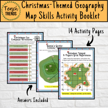
Christmas-Themed Geography Map Skills Activity Booklet
Your pupils will love consolidating their geographical mapping skills with this Christmas-themed activity booklet.Including all of the basic map skills with a Christmas twist, there are 14 activity pages with answers included.Skills covered include:4 & 6 Figure Grid ReferencesScale and DistanceCompass DirectionsContour LinesTime Zonesas well a ‘Create Your Own’ map.Resources downloaded in pdf format.
Subjects:
Grades:
4th - 8th
Types:
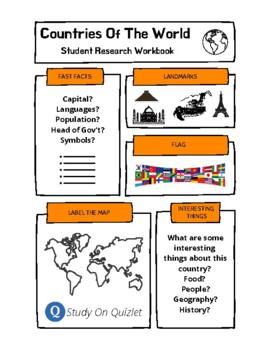
Research A Country Of The World. Presentation. Geography. Culture. Project. ESL.
50 templates for students to research one country of the world and then report back to the class their findings. Includes a blank template to use with any other country not included. Students research basic information, label a map, list interesting facts, design the flag and list famous landmarks. Also, includes access to 100s of professionally designed Quizlet sets (click the logo to go to the folder) for studying world countries, flags, cities. ESL, EFL, ESOL, project, worksheets, research,
Grades:
Not Grade Specific
Types:
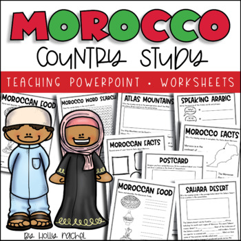
All About Morocco - Country Study
Your students will love learning all about Morocco with this fun country study! Included is an all about Morocco Powerpoint presentation (.pptx) to teach your class all about Morocco, the capital city, flag, food, language, famous landmarks, the Atlas Mountains and the Sahara Desert! Student activity worksheets are also included based on the facts in the Powerpoint (all differentiated on two levels to support the different abilities in your class), plus a Morocco word search, postcard activity a
Grades:
1st - 3rd
Also included in: Country Study Bundle
50 Landforms and Bodies of Water Workbook and Interactive Dictionary
This 50-page visual dictionary/workbook assignment gives students an opportunity to learn up to 50 landforms and bodies of water in a fun, completely visual way.
Give your students the 21st geography skills they will need in an increasingly "globalized" world.
Students must define each geography term, list examples, and then provide a photograph for each.
The nice aspect about this assignment is that it is fully customizable to your students' abilities and needs. You may not need all 50 p
Grades:
3rd - 7th
Types:
Also included in: Fun with Geography Bundle of Top-Rated Social Studies Assignments
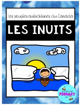
Les peuples autochtones du Canada: Les Inuits
Étudiez-vous des peuples autochtones du Canada dans votre classe? Si oui, voici un petit cahier de 14 pages (corrigé inclus!) qui introduit le peuple autochtone: les Inuits. Thèmes des activités du cahier:le peuplel'environnementles habitationsles animaux de l'Arctiqueles vêtementsla nourritureles outilsles modes de transportles InukshuksNote: Ce cahier a été créé pour des élèves de 3e année, du programme d'immersion en C.B., au Canada.Curricular connection (from BC - Grade 3 Social Studies): St
Subjects:
Grades:
2nd - 5th
Types:
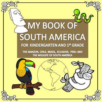
My Book of South America - The Study of a Continent
A study of one of the 7 continents for kindergarten, 1st grade and 2nd grade. Your students can create an informative 12 page booklet all about the South American continent. The booklet comes in a black and white version and a color version. Included are Chile, Brazil, Ecuador and Peru, the Amazon and the wildlife of South America. The non-fiction text is easy to assemble using only 3 back to back sheets (to save paper). Students will enjoy reading about cultures, facts, landmarks and animals of
Grades:
K - 2nd
Types:
Also included in: My Books of the Continents Bundle
Showing 1-24 of 809 results


